Mary's Peak to Harlan
Total Miles
7.7
Technical Rating
Best Time
Spring, Summer, Fall
Trail Type
Full-Width Road
Accessible By
Trail Overview
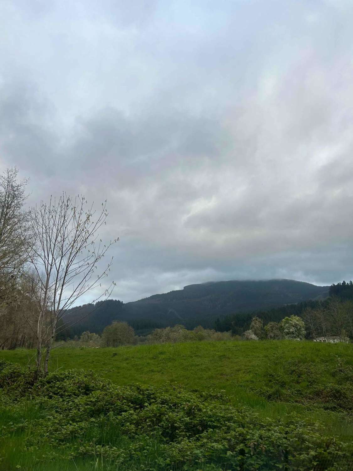
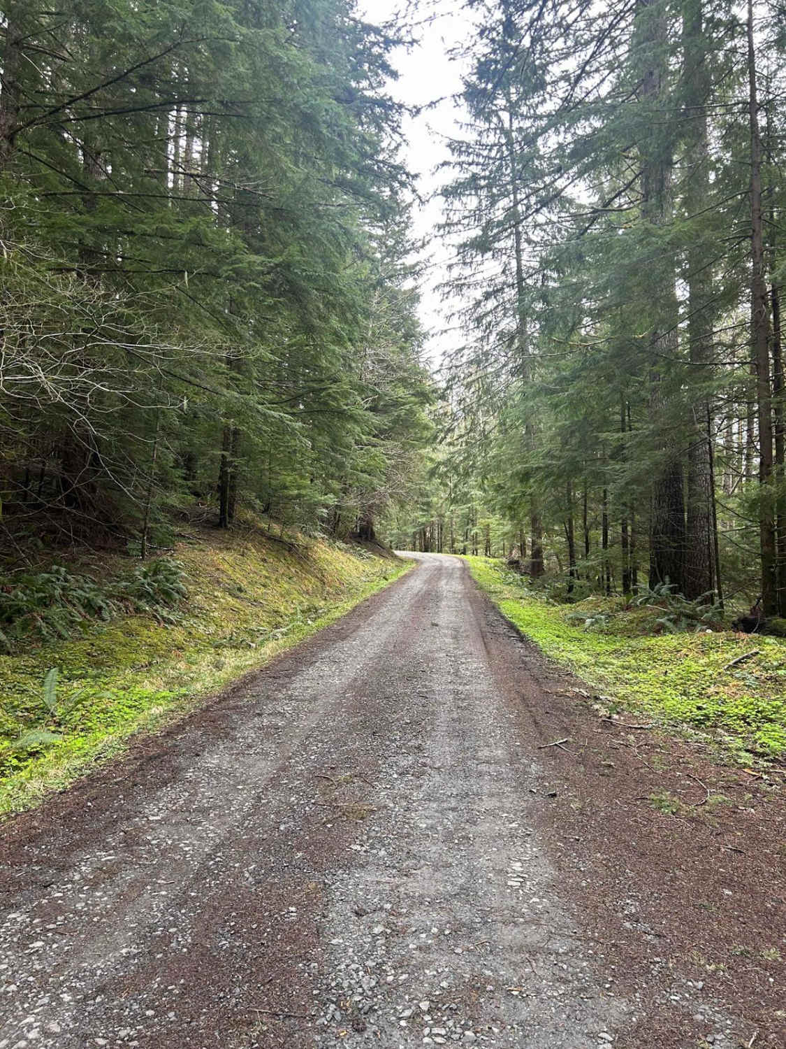
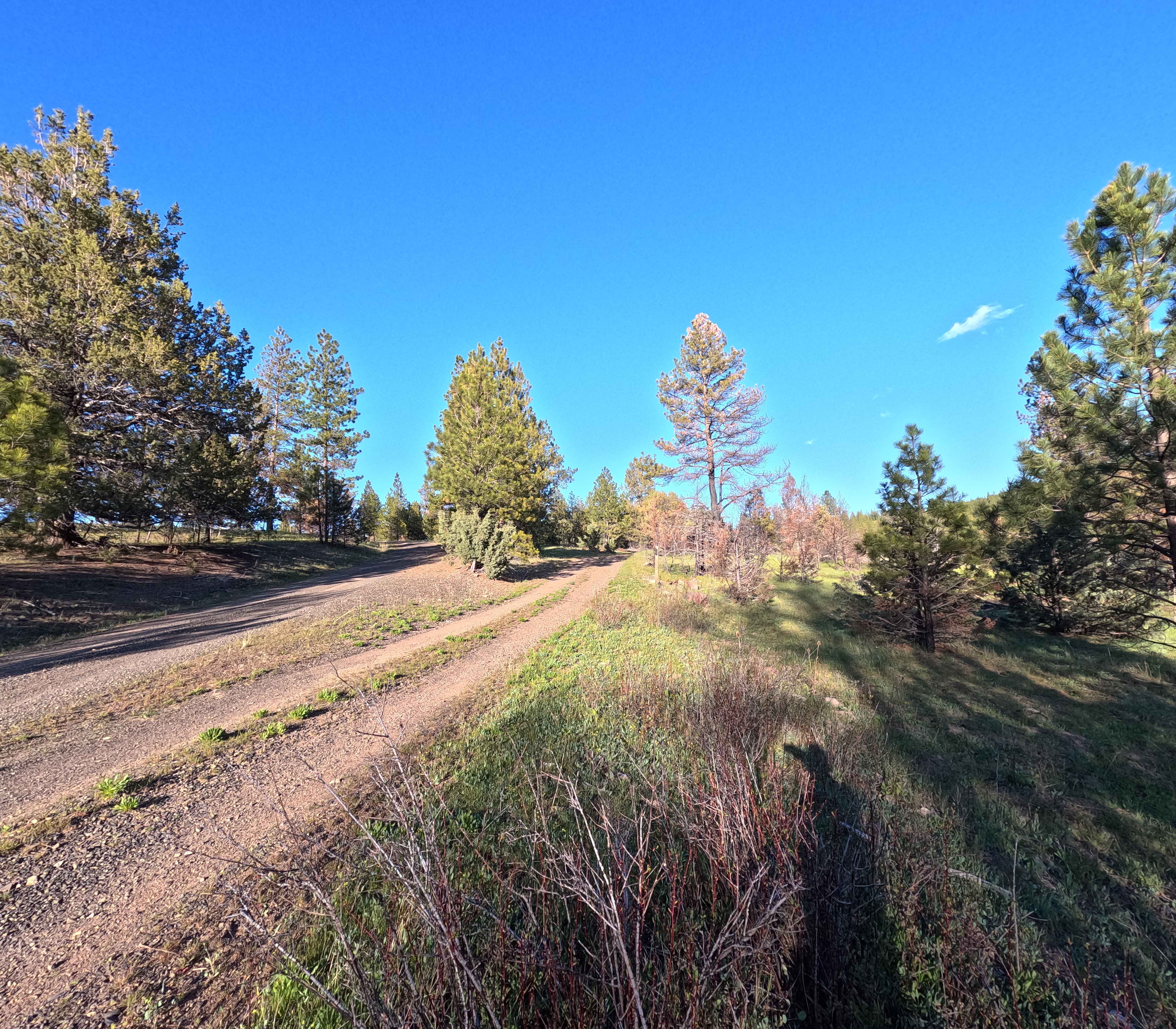
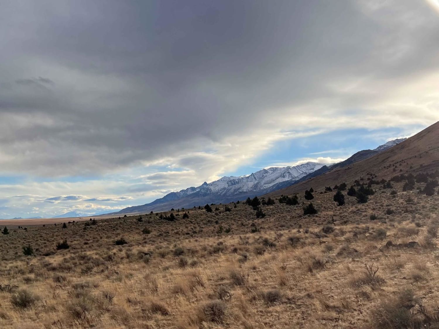
The first mile to mile and a half is full of potholes, then it smooths out. There are dispersed camping spots along the way along with a couple of streams and views when it opens up. Throughout the trail, there are offshoots for further exploration. Winter travel is not recommended due to high pileups of snow.
Photos of Mary's Peak to Harlan
Difficulty
Expect many potholes and limited passing space.
Status Reports
Mary's Peak to Harlan can be accessed by the following ride types:
- High-Clearance 4x4
- SUV
- SxS (60")
- ATV (50")
- Dirt Bike
Mary's Peak to Harlan Map
Popular Trails

Madison Butte Lookout - FS 2119033
Mann Lake North Gate

Moose Mountain- FS 2027
The onX Offroad Difference
onX Offroad combines trail photos, descriptions, difficulty ratings, width restrictions, seasonality, and more in a user-friendly interface. Available on all devices, with offline access and full compatibility with CarPlay and Android Auto. Discover what you’re missing today!