Off-Road Trails in Montana
Discover off-road trails in Montana
Learn more about Smith Ridge Dead End
Smith Ridge Dead End
Total Miles
0.7
Tech Rating
Easy
Best Time
Summer, Spring, Fall
Learn more about Smith Ridge Glen Lake
Smith Ridge Glen Lake
Total Miles
7.7
Tech Rating
Easy
Best Time
Winter, Fall, Summer, Spring
Learn more about Smith River Trail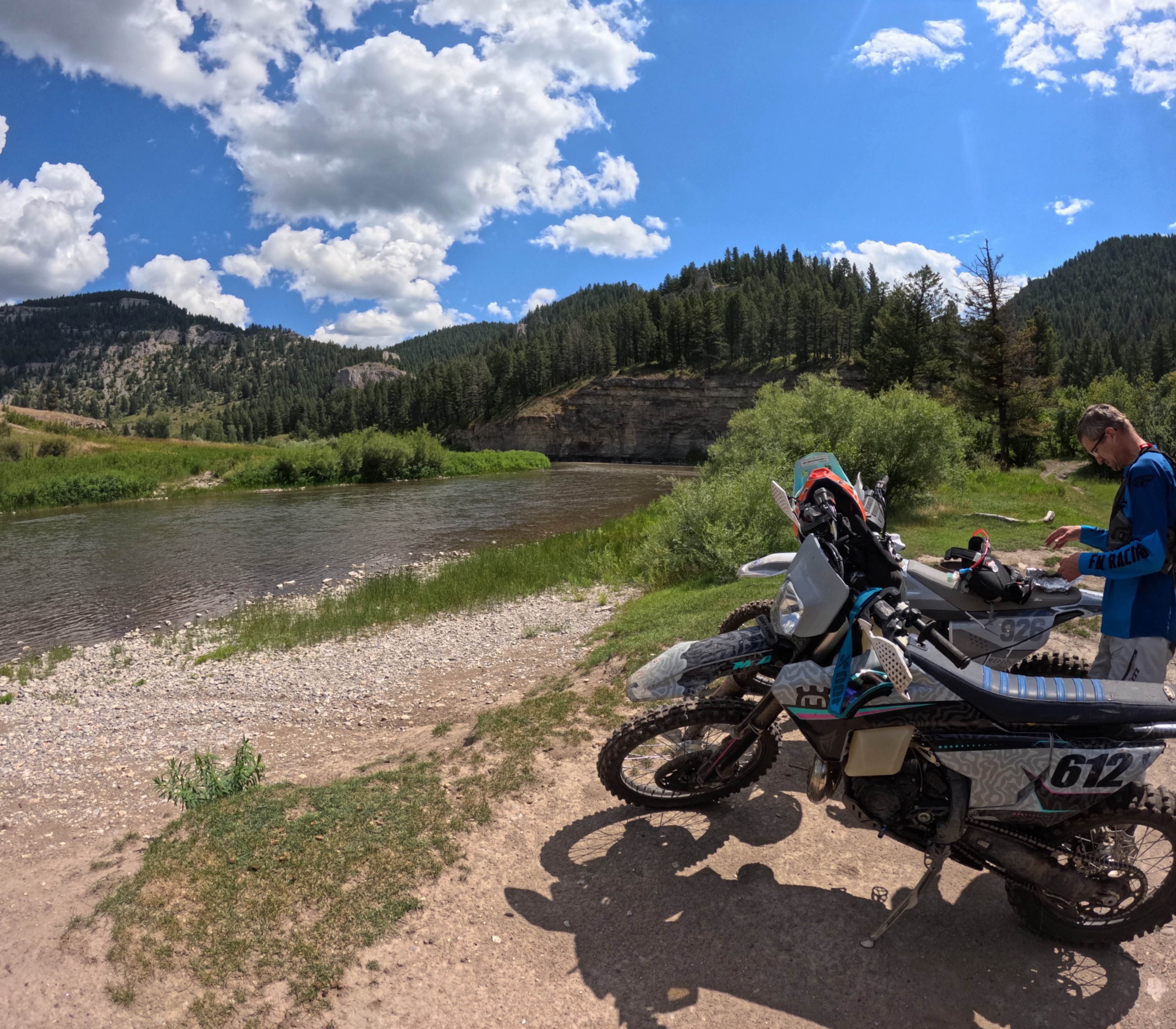
Smith River Trail
Total Miles
20.7
Tech Rating
Moderate
Best Time
Summer
Learn more about Smiths Grassy Offshoot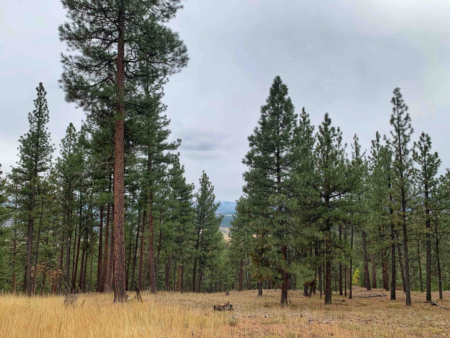
Smiths Grassy Offshoot
Total Miles
1.7
Tech Rating
Easy
Best Time
Summer, Fall, Spring
Learn more about Snow Shoe Creek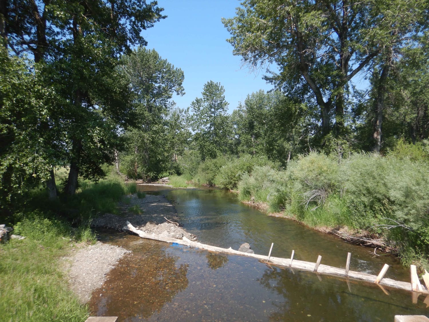
Snow Shoe Creek
Total Miles
14.0
Tech Rating
Easy
Best Time
Fall, Summer, Spring
Learn more about Snowshoe Pass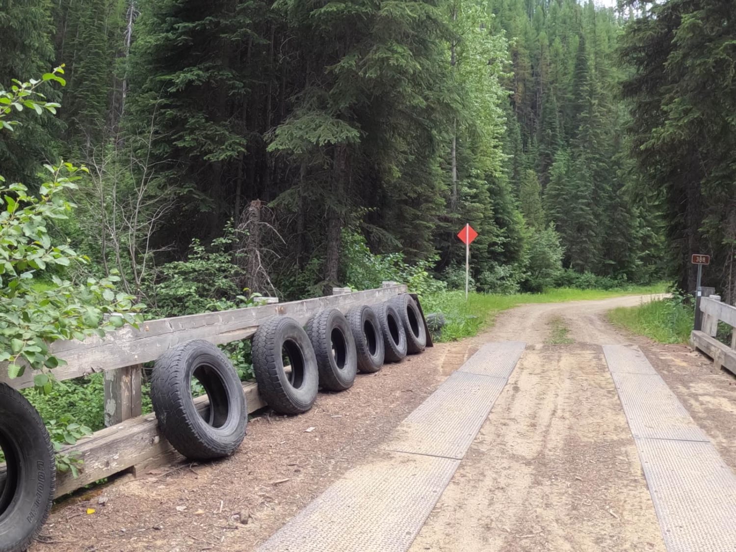
Snowshoe Pass
Total Miles
9.3
Tech Rating
Easy
Best Time
Spring, Summer, Fall
Learn more about Snowshoe Pass - FSR 488
Snowshoe Pass - FSR 488
Total Miles
9.6
Tech Rating
Easy
Best Time
Spring, Summer, Fall
Learn more about South Ambrose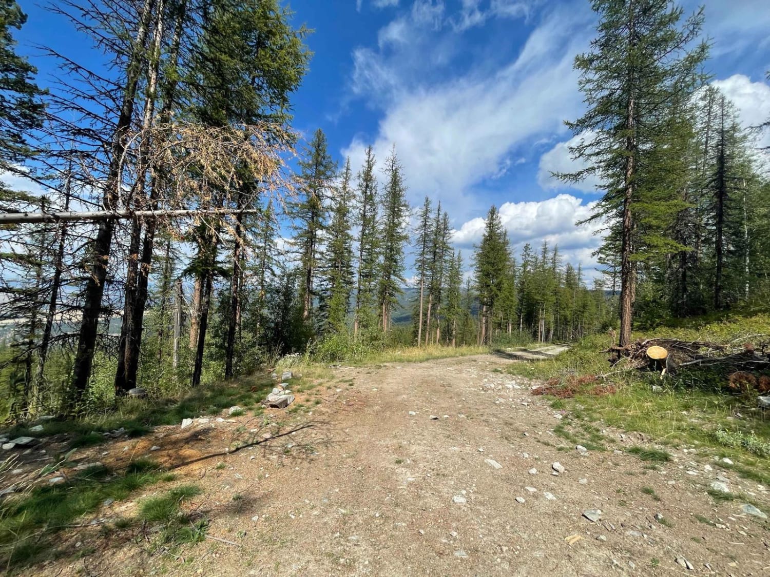
South Ambrose
Total Miles
3.2
Tech Rating
Easy
Best Time
Fall, Summer, Spring
Learn more about South Baldy Loop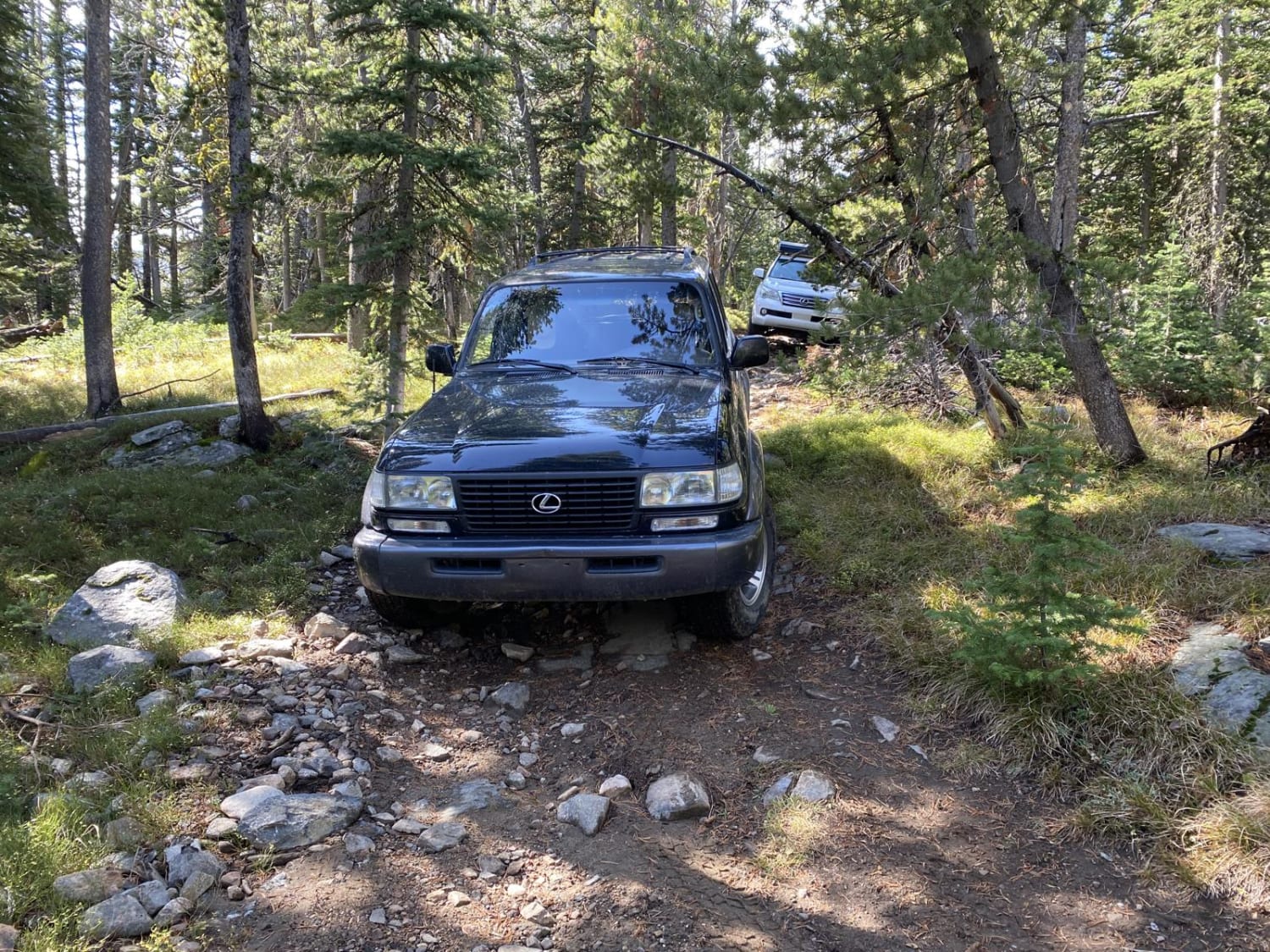
South Baldy Loop
Total Miles
4.1
Tech Rating
Moderate
Best Time
Summer, Fall
Learn more about South Boulder Creek Loop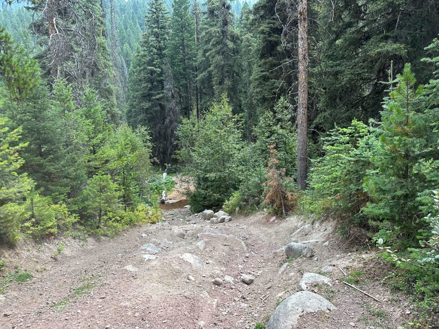
South Boulder Creek Loop
Total Miles
6.1
Tech Rating
Easy
Best Time
Summer, Fall
Learn more about South Cottonwood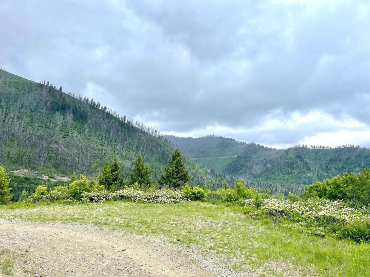
South Cottonwood
Total Miles
2.0
Tech Rating
Easy
Best Time
Spring, Summer, Fall
Learn more about South Fork Bull River
South Fork Bull River
Total Miles
9.9
Tech Rating
Easy
Best Time
Summer
Learn more about South Fork Flathead Creek 
South Fork Flathead Creek
Total Miles
4.6
Tech Rating
Easy
Best Time
Summer, Fall
Learn more about South Fork Hemler Creek
South Fork Hemler Creek
Total Miles
7.5
Tech Rating
Moderate
Best Time
Spring, Summer, Fall
Learn more about South Fork Little Joe Creek - FS 221
South Fork Little Joe Creek - FS 221
Total Miles
6.8
Tech Rating
Easy
Best Time
Spring, Summer, Fall
Learn more about South Fork Madison Road (478)
South Fork Madison Road (478)
Total Miles
8.7
Tech Rating
Easy
Best Time
Spring, Summer, Fall
Learn more about South Fork Nemote - Sheridan Ridge Loop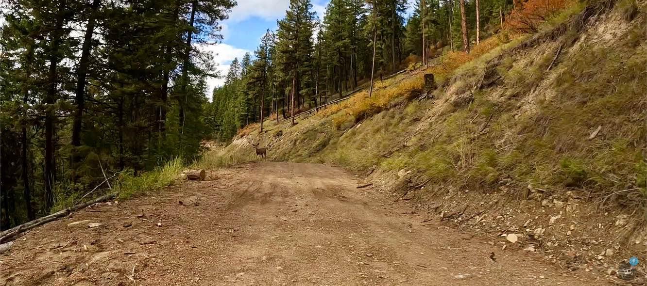
South Fork Nemote - Sheridan Ridge Loop
Total Miles
9.3
Tech Rating
Easy
Best Time
Fall, Summer
Learn more about South Fork Nemote Creek - Sheridan Ridge Loop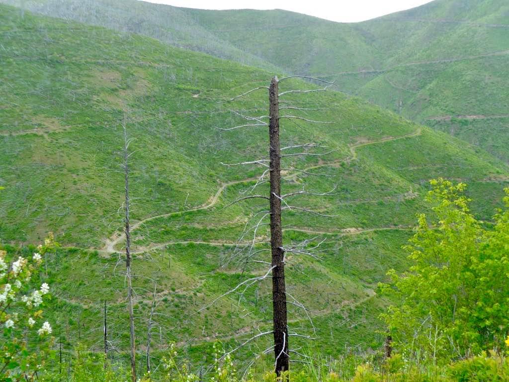
South Fork Nemote Creek - Sheridan Ridge Loop
Total Miles
7.6
Tech Rating
Easy
Best Time
Summer, Fall
Learn more about South Fork Second Creek Road-Nine Mile Divide Trailhead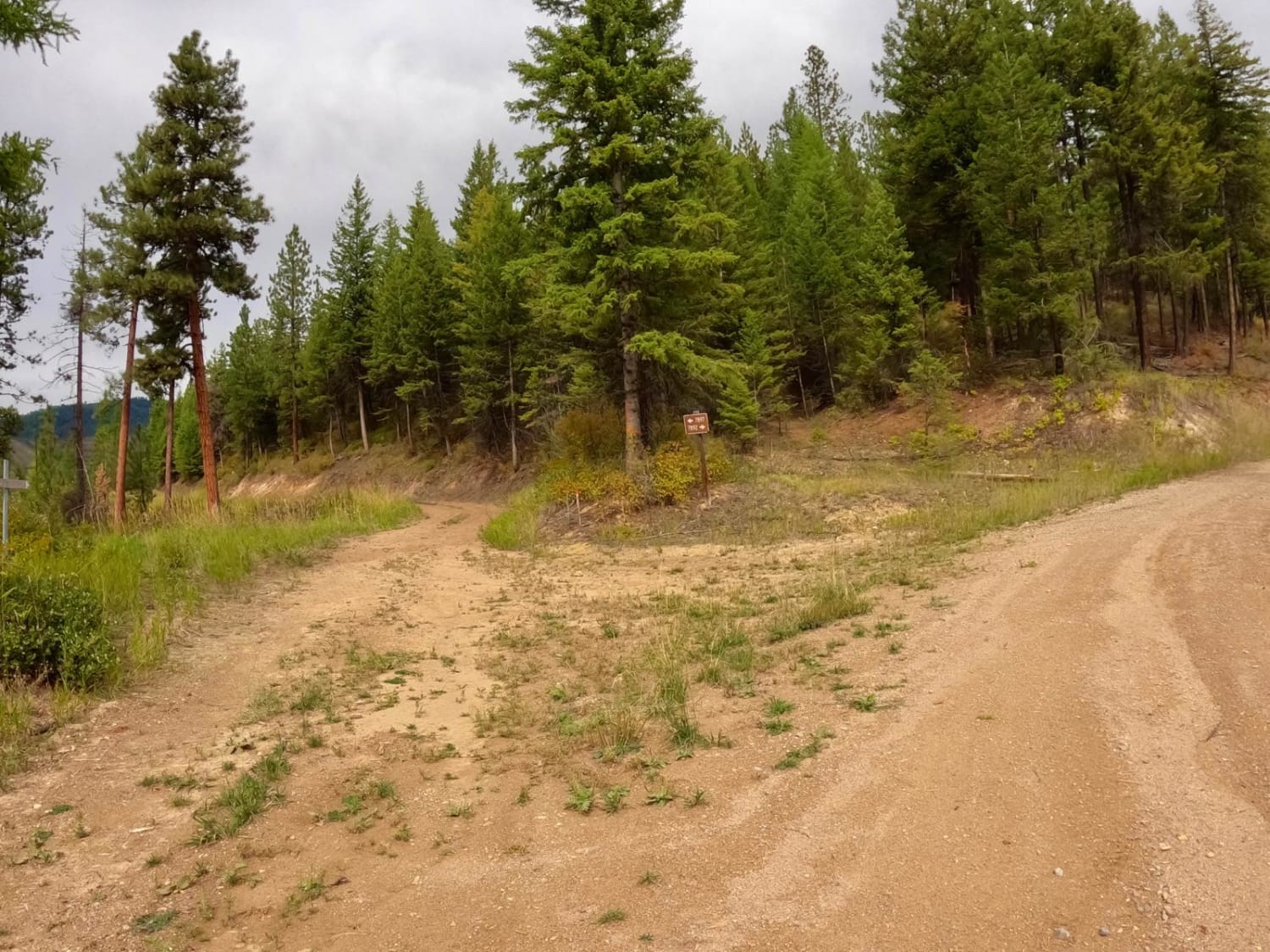
South Fork Second Creek Road-Nine Mile Divide Trailhead
Total Miles
8.8
Tech Rating
Easy
Best Time
Spring, Summer, Fall
ATV trails in Montana
Learn more about $50,000 Silver Dollar Inn - FSR 288
$50,000 Silver Dollar Inn - FSR 288
Total Miles
7.5
Tech Rating
Easy
Best Time
Spring, Summer, Fall
Learn more about 2103 West Fork Gold Creek
2103 West Fork Gold Creek
Total Miles
5.7
Tech Rating
Easy
Best Time
Spring, Summer, Fall, Winter
Learn more about 4W-7736 - Big Flat Trail
4W-7736 - Big Flat Trail
Total Miles
3.6
Tech Rating
Easy
Best Time
Spring, Summer, Fall
Learn more about 4W-7829 - Mink Peak Jeep Trail
4W-7829 - Mink Peak Jeep Trail
Total Miles
4.4
Tech Rating
Easy
Best Time
Spring, Summer, Fall
UTV/side-by-side trails in Montana
Learn more about $50,000 Silver Dollar Inn - FSR 288
$50,000 Silver Dollar Inn - FSR 288
Total Miles
7.5
Tech Rating
Easy
Best Time
Spring, Summer, Fall
Learn more about 2103 West Fork Gold Creek
2103 West Fork Gold Creek
Total Miles
5.7
Tech Rating
Easy
Best Time
Spring, Summer, Fall, Winter
Learn more about 4W-7736 - Big Flat Trail
4W-7736 - Big Flat Trail
Total Miles
3.6
Tech Rating
Easy
Best Time
Spring, Summer, Fall
Learn more about 4W-7829 - Mink Peak Jeep Trail
4W-7829 - Mink Peak Jeep Trail
Total Miles
4.4
Tech Rating
Easy
Best Time
Spring, Summer, Fall
The onX Offroad Difference
onX Offroad combines trail photos, descriptions, difficulty ratings, width restrictions, seasonality, and more in a user-friendly interface. Available on all devices, with offline access and full compatibility with CarPlay and Android Auto. Discover what you’re missing today!