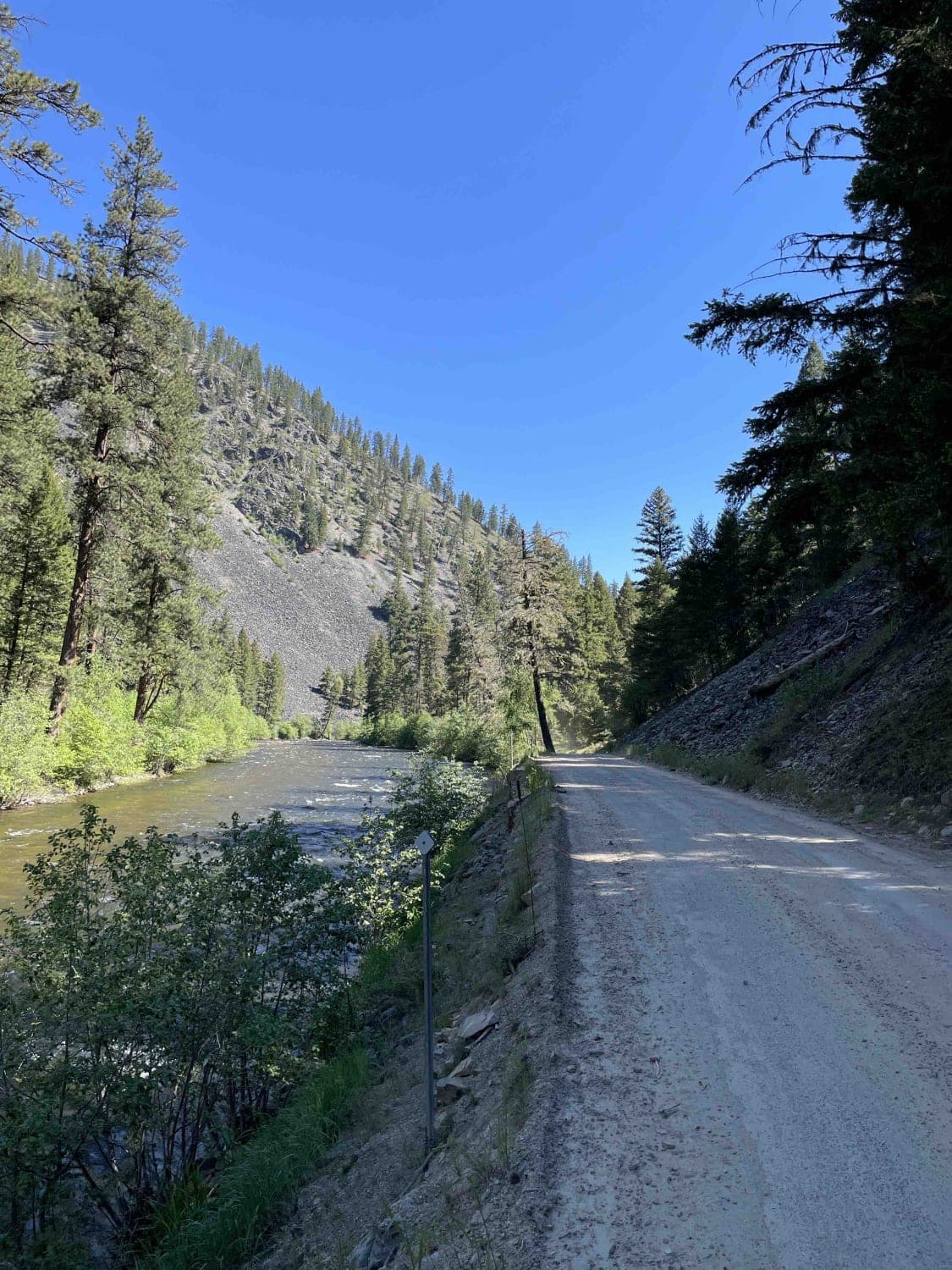
Off-Road Trails in Montana
Discover off-road trails in Montana
Learn more about Rice Ridge Road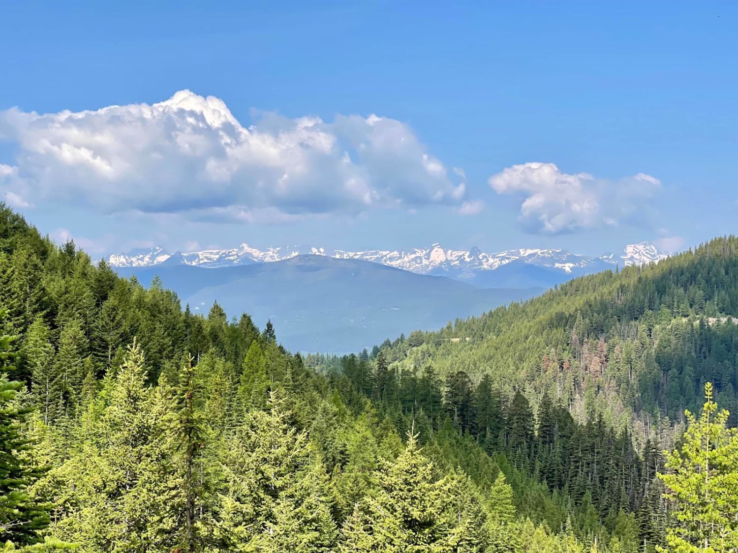
Rice Ridge Road
Total Miles
21.9
Tech Rating
Easy
Best Time
Spring, Summer, Fall
Learn more about Richmond Marshall Hookup Trail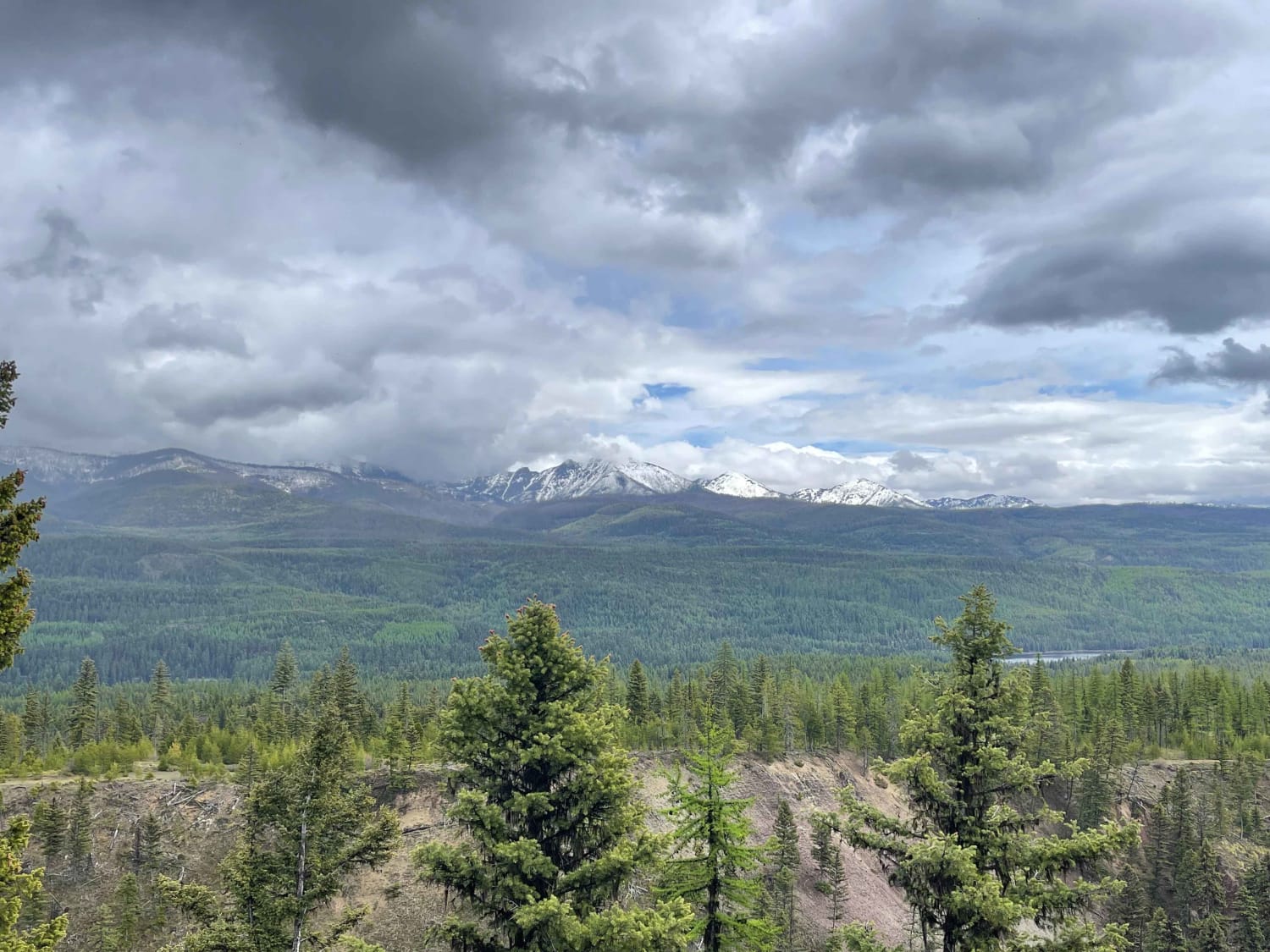
Richmond Marshall Hookup Trail
Total Miles
2.2
Tech Rating
Easy
Best Time
Fall, Summer, Spring
Learn more about Richmond Ridge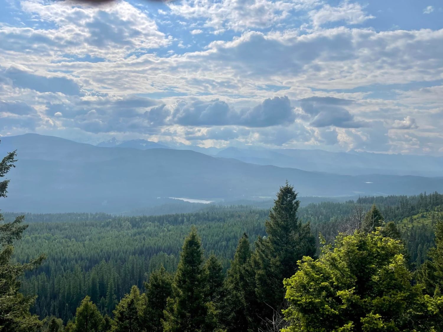
Richmond Ridge
Total Miles
7.8
Tech Rating
Easy
Best Time
Summer, Fall, Spring
Learn more about Ridge Road #1005
Ridge Road #1005
Total Miles
7.4
Tech Rating
Easy
Best Time
Spring, Summer, Fall
Learn more about Riemel Trail/ Hiking Trailhead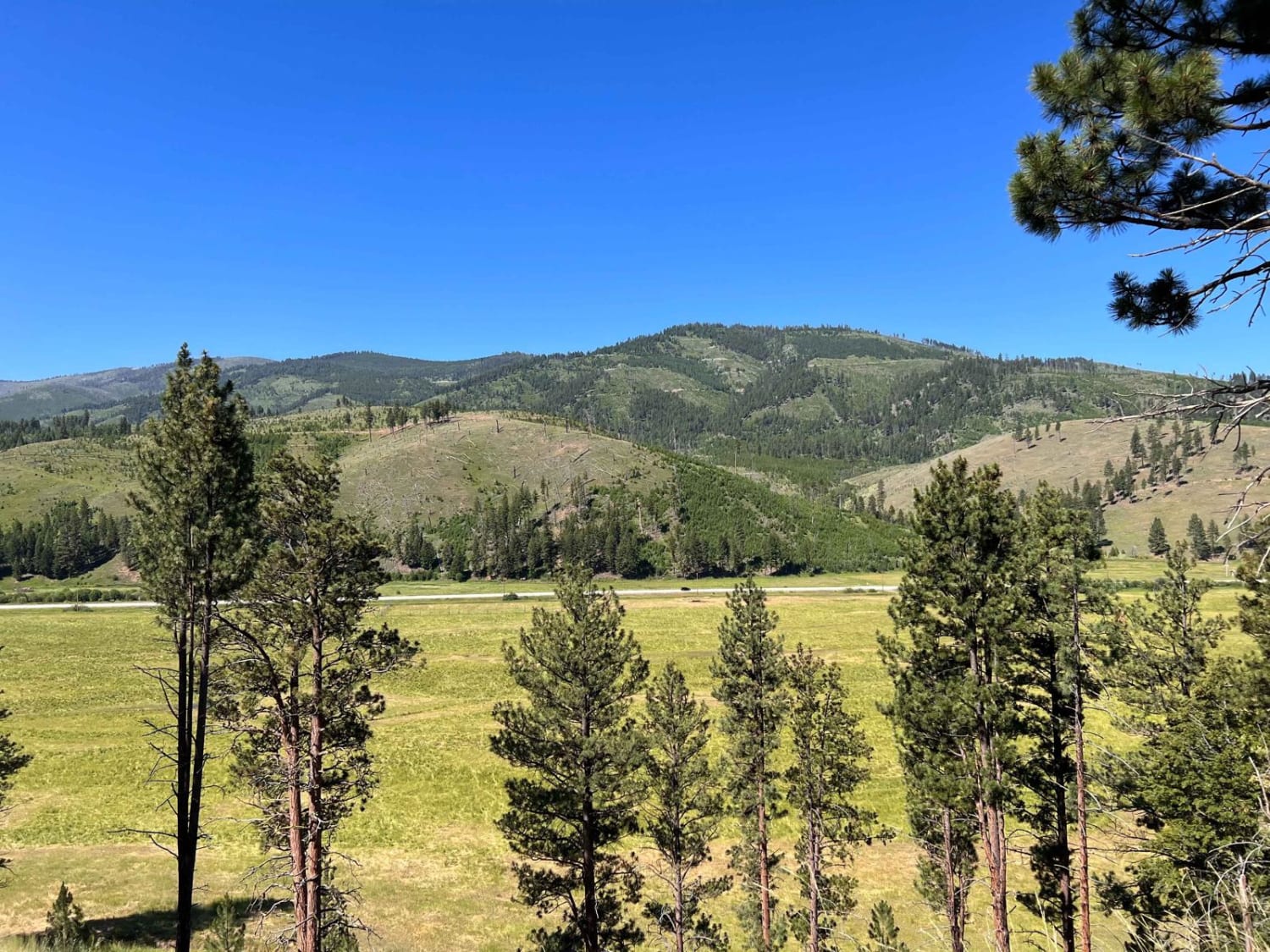
Riemel Trail/ Hiking Trailhead
Total Miles
4.0
Tech Rating
Easy
Best Time
Fall, Summer, Spring
Learn more about Ringing Rocks Trail
Ringing Rocks Trail
Total Miles
18.1
Tech Rating
Moderate
Best Time
Summer, Fall

Learn more about Robert's Mountain Trail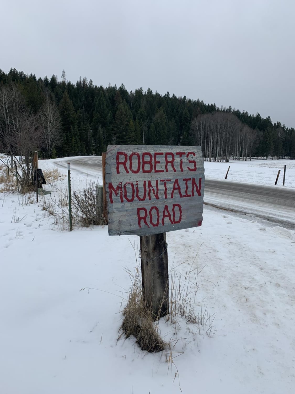
Robert's Mountain Trail
Total Miles
3.9
Tech Rating
Easy
Best Time
Spring, Summer
Learn more about Rock Creek Road - FSR 444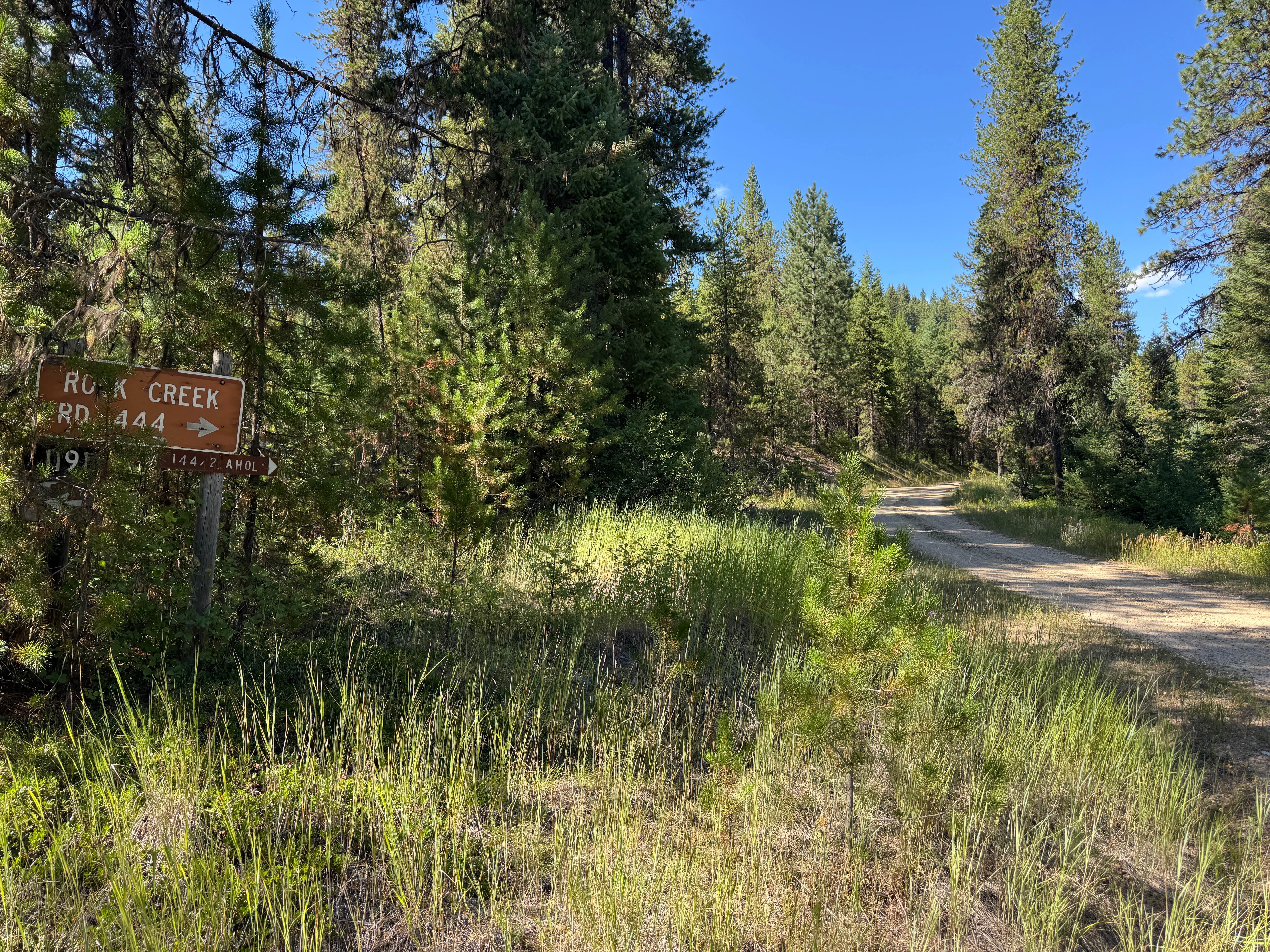
Rock Creek Road - FSR 444
Total Miles
13.2
Tech Rating
Easy
Best Time
Spring, Summer, Fall
Learn more about Rock Creek Tarkio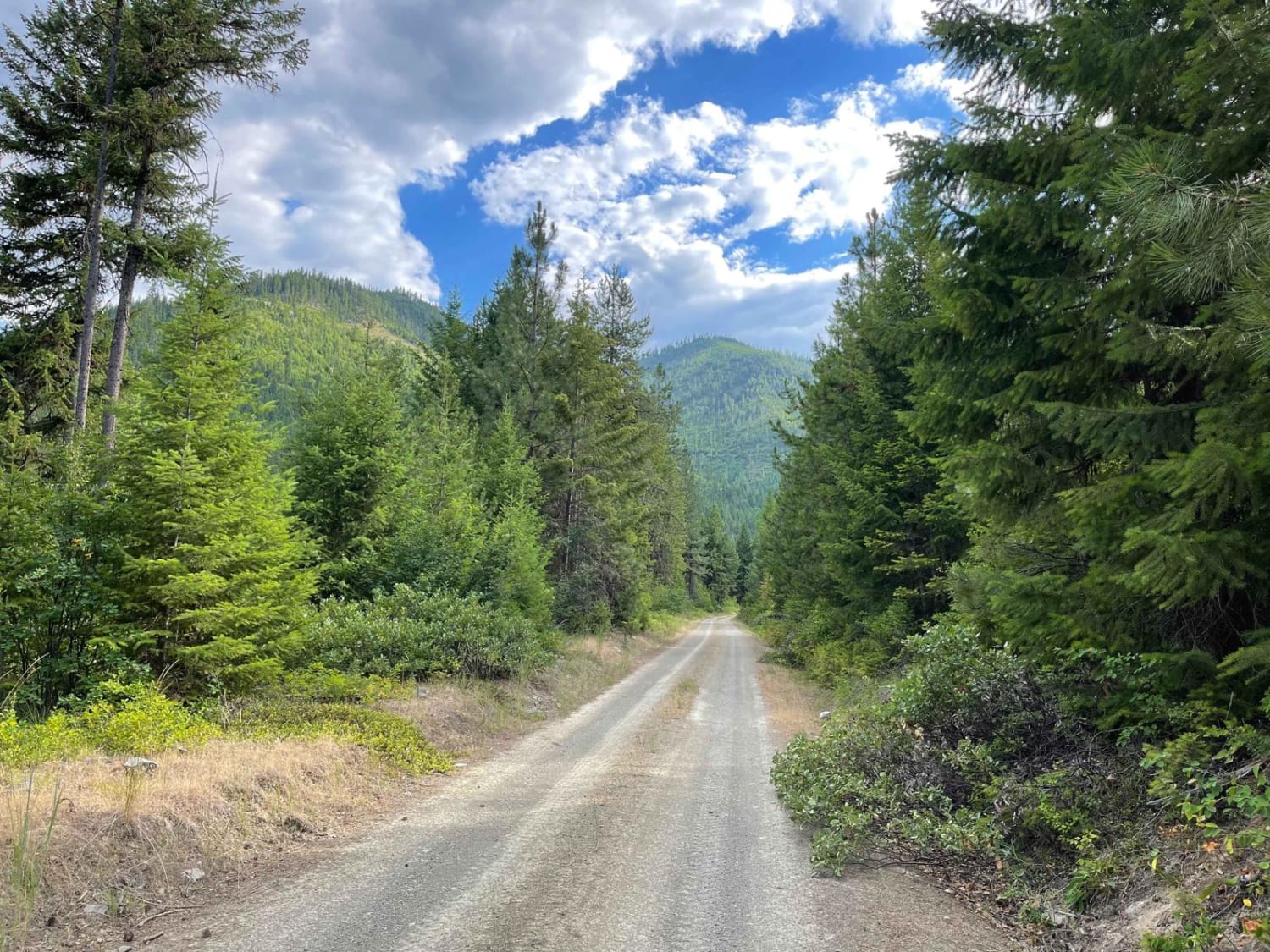
Rock Creek Tarkio
Total Miles
6.4
Tech Rating
Easy
Best Time
Fall, Summer, Spring
Learn more about Rock Creek Trail
Rock Creek Trail
Total Miles
6.0
Tech Rating
Easy
Best Time
Spring, Summer, Fall
Learn more about Rock Creek Trail - 4W-378
Rock Creek Trail - 4W-378
Total Miles
6.0
Tech Rating
Easy
Best Time
Spring, Summer, Fall
Learn more about Rock Creek Williams Ridge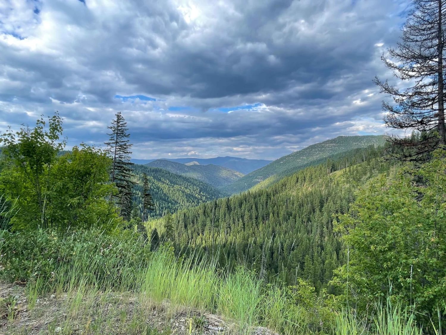
Rock Creek Williams Ridge
Total Miles
4.6
Tech Rating
Easy
Best Time
Fall, Summer, Spring
Learn more about Rock Creek/Leadville
Rock Creek/Leadville
Total Miles
10.9
Tech Rating
Moderate
Best Time
Summer, Fall, Spring
Learn more about Round Top Road
Round Top Road
Total Miles
3.4
Tech Rating
Easy
Best Time
Spring, Summer, Fall
Learn more about Saddle Mountain Trail
Saddle Mountain Trail
Total Miles
5.9
Tech Rating
Easy
Best Time
Summer, Fall
ATV trails in Montana
Learn more about $50,000 Silver Dollar Inn - FSR 288
$50,000 Silver Dollar Inn - FSR 288
Total Miles
7.5
Tech Rating
Easy
Best Time
Spring, Summer, Fall
Learn more about 2103 West Fork Gold Creek
2103 West Fork Gold Creek
Total Miles
5.7
Tech Rating
Easy
Best Time
Spring, Summer, Fall, Winter
Learn more about 4W-7736 - Big Flat Trail
4W-7736 - Big Flat Trail
Total Miles
3.6
Tech Rating
Easy
Best Time
Spring, Summer, Fall
Learn more about 4W-7829 - Mink Peak Jeep Trail
4W-7829 - Mink Peak Jeep Trail
Total Miles
4.4
Tech Rating
Easy
Best Time
Spring, Summer, Fall
UTV/side-by-side trails in Montana
Learn more about $50,000 Silver Dollar Inn - FSR 288
$50,000 Silver Dollar Inn - FSR 288
Total Miles
7.5
Tech Rating
Easy
Best Time
Spring, Summer, Fall
Learn more about 2103 West Fork Gold Creek
2103 West Fork Gold Creek
Total Miles
5.7
Tech Rating
Easy
Best Time
Spring, Summer, Fall, Winter
Learn more about 4W-7736 - Big Flat Trail
4W-7736 - Big Flat Trail
Total Miles
3.6
Tech Rating
Easy
Best Time
Spring, Summer, Fall
Learn more about 4W-7829 - Mink Peak Jeep Trail
4W-7829 - Mink Peak Jeep Trail
Total Miles
4.4
Tech Rating
Easy
Best Time
Spring, Summer, Fall
The onX Offroad Difference
onX Offroad combines trail photos, descriptions, difficulty ratings, width restrictions, seasonality, and more in a user-friendly interface. Available on all devices, with offline access and full compatibility with CarPlay and Android Auto. Discover what you’re missing today!