Richmond Ridge
Total Miles
7.8
Technical Rating
Best Time
Summer, Fall, Spring
Trail Type
Full-Width Road
Accessible By
Trail Overview
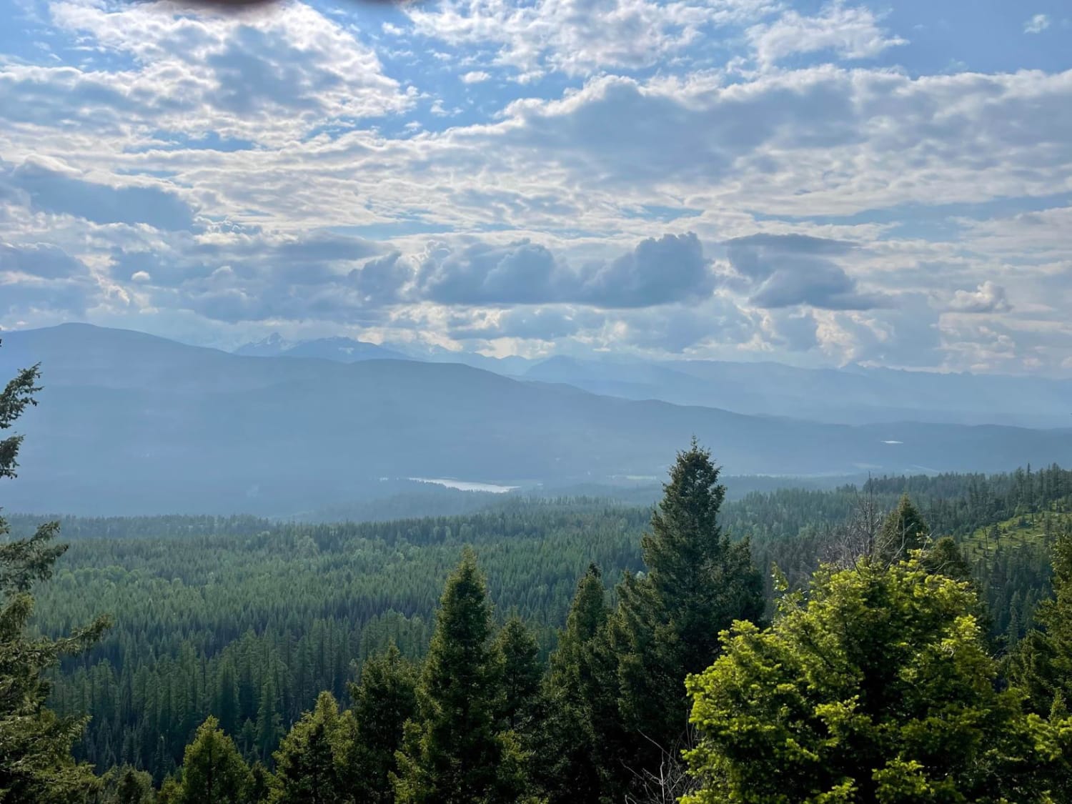
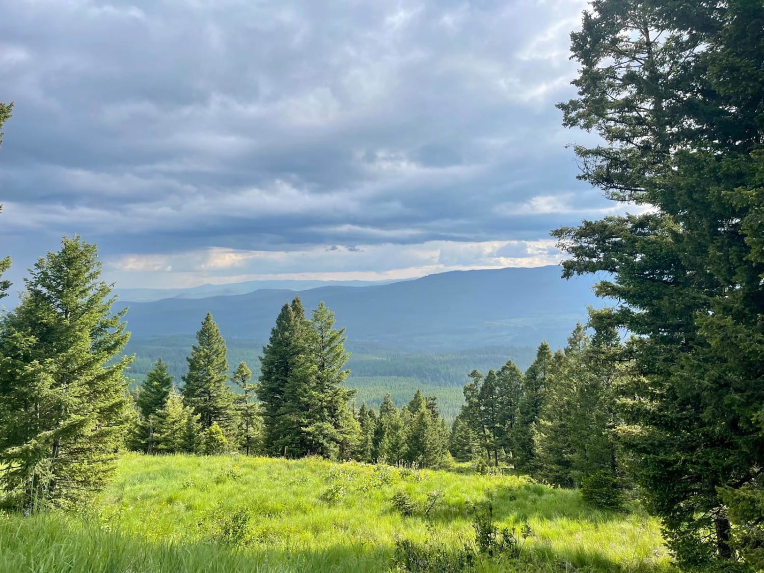
This twisty climb into the mountains from Highway 83 is not in as good of shape as some of the other trails in the area. Loose gravel washout sections and loads of potholes slow the progress up the hill. There are some decent camping spots in the lower section, just a short way from the main route, and they are relatively easy to spot. The lower area also is so dense with trees that it's difficult to see the outstanding views of the lakes below. As you ascend higher, the trees finally part here and there and offer exceptional views down the valley. It's a real treat to see. For cell service, one bar of Verizon LTE fades in and out with none at the bottom or near the top. The top connects to Rice Ridge Road, which runs along and offers access to most of the trails along this section.
Photos of Richmond Ridge
Difficulty
There are many potholes and, narrow sections without pullouts, and some lose gravel sections.
Status Reports
Richmond Ridge can be accessed by the following ride types:
- High-Clearance 4x4
- SUV
- SxS (60")
- ATV (50")
- Dirt Bike
Richmond Ridge Map
Popular Trails
West Side Nine Mile Road
South Pryor Mountain Road
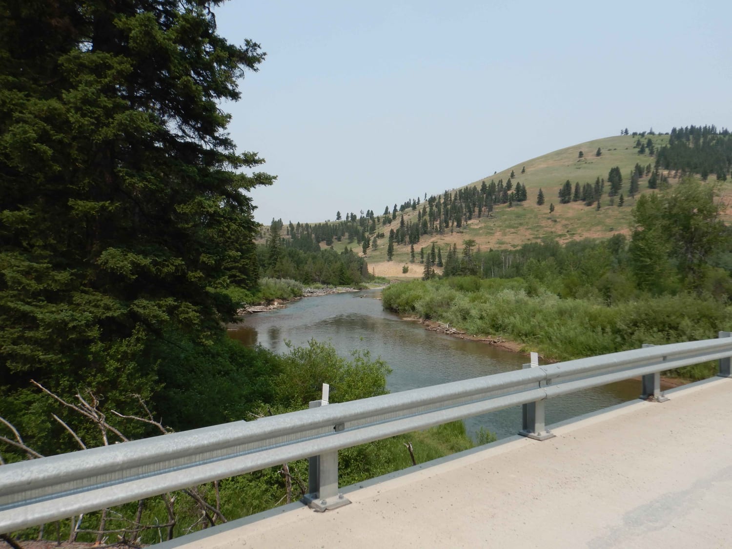
Nevada-Ogden Road
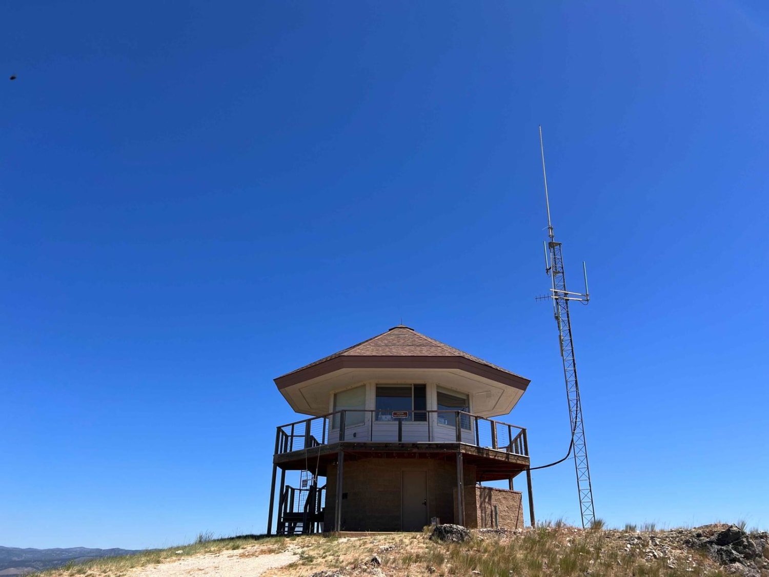
Sula Peak Lookout
The onX Offroad Difference
onX Offroad combines trail photos, descriptions, difficulty ratings, width restrictions, seasonality, and more in a user-friendly interface. Available on all devices, with offline access and full compatibility with CarPlay and Android Auto. Discover what you’re missing today!
