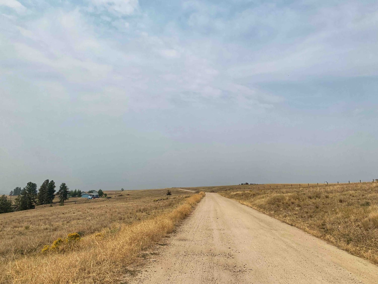
Off-Road Trails in Montana
Discover off-road trails in Montana
- 8 Mile
- Acton Recreation Area
- Albert Lothrop Rd 5563
- Ambrose Trail
- Anaconda Microwave Overlook
- Antelope Basin (FS 230)
- Archibald Loop
- Aurora Basin Road
- Axolotl Lakes Road
- Badger Creek
- Bannock Pass and Bannack Ghost Town
- Bare Cone Lookout
- Barton Gulch
- Barton Gulch and Offshoots
- Bass Overlook Trail
- Bear Creek
- Bear Creek Overlook Trail
- Beaver Creek Gallatin Forest
- Beaver Creek Trailhead
- Big Blue View
- Big Creek Trailhead
- Big Hole - Road 181
- Bigfoot Creek to Hay Creek
- Birdseye-Mullan Road
- Bison Mountain
- Bitterroot-Big Hole
- Black Bear Point
- Blacktail Wild Bill OHV
- Blacktail Wild Bill OHV Trail
- Blodgett Canyon Overlook
- Blodgett Hiking Trail and Campground
- Blue Joint Coal Creek Ridge
- Blue Joint Trailhead Trail
- Blue Mountain
- Blue Mountain Connection
- Blue Mountain Look Out Trail
- Blue Mountain Lookout Spur (6.07)
- Blue Mountain Single Track
- Bluebird Mine Road
- Bluebird Mine Trail Loop
- Boulder Alley
- Boulder Alley Spur
- Boulder Point Lookout Trail
- Boulder to Toston via Black Sage Pass
- Boyd Mountain
- Bridger Creek Cruise
- Buffalo Jump - Black Fords Fish Access
- Burnt Timber Ridge Road
- Bush Moose Ridge
- Butler Creek Loop 456
- Butte Ridge
- Buttermilk Creek Trail
- Calypso Trail
- Canyon Creek - Quartz Hill
- Caruthers Lake
- Cattle Drive to Bear Gulch
- Cedar Run Ridge
- Centennial Divide
- Champion Pass
- Clairmont
- Clancy Creek Road
- Clear Creek
- Clearwater Canoe Put In Trail
- Cliff Lake Trail
- Coal Creek
- Coal Creek ATV/UTV
- Coal Creek Offshoot
- Coal Creek to Blue Joint
- Cobden Point Lookout (FSR 9907)
- Cold Springs Road
- Comet/Mount Thompson Loop
- Como Crest
- Continental Divide Trail (FS 20056)
- Continental Divide/Upper Ruby Road (FS100) (Parital)
- Corral Creek Rd 2146
- Cottonwood Creek - FS8337
- Cottonwood Road
- Cougar C Trail
- Cougar Cr Park Boundary
- Cougar Peak
- Cow Creek Road and Shiefman Hiking Trail
- Cramer Creek to Patrick Creek
- Crazy Creek Warm Springs
- Crooked Creek Road
- Crow Creek
- Dalton Mountain Road
- Dead Man Gulch
- Denver Ridge
- Desert Mountain
- Double Arrow Lookout Tower
- Drop Tube Part 1
- Drop Tube Part 2
- Eagle Nest River Access
- East Bench (FS 8378)
- East Fork Reservoir
- East Twin Creek Road
- Eastern Garnet Range Road
- Edith Peak 476-1
- Elliston Spotted Dog
- Erosion Excursion
- Ettien Ridge
- Eureka Basin Road (FS 347)
- First Chance Gulch To Bear Gulch
- Fish Creek
- Fish Creek Lake Road (Partial)
- Fish Creek Ridge Road (FS 9626)
- Fish Creek Road
- Fisher Lake
- Flat Creek Hwy 135
- Flatiron Ridge
- Ford Basin to Home/Lime Gulch
- FSR 47781
- FSR 47782
- FSR 47792
- Garnet Ghost Town
- Gash Creek
- Gash Sweathouse Face Trail
- Gem Peak
- German Gulch
- Gilbert No Creek
- Gird Point Lookout
- Gloria Mine Trail
- Gold Creek
- Gold Creek Trail
- Goose Lake
- Granite Lake
- Grave Range Jeep Road - Blue Mountain
- Gravelly Lake
- Gravelly Range Road (FS290) (Partial)
- Gravelly Range South (FS290)
- Graves Creek Falls/Vermilion
- GSVA Route
- Guide Finger Open
- Guide Saddle
- Gyp Springs Road
- Haskill Divide
- Hay Canyon Trail
- Hays Creek Moose Creek
- Head of Butterfly
- Head Of St. Clair
- Heather & Emerald Scramble
- Hedges Mountain
- Hegben Lake Trail
- Helt Road
- Henderson
- Henderson Mountain Road
- High Mountain Meadows
- High Road
- Holland Lake
- Horse Butte Lake Trail
- Howard Creek
- Huckleberry Mountain
- Hungry Horse Reservoir - East
- Hungry Horse Reservoir - West
- Independence Pass
- Indian Creek Road
- Indian Creek Road Spur 1
- Inside North Fork Rd
- Irish Mine
- Iron Mountain Road
- Jackknife - Cliff Lake Bench (FS 9640/41)
- Jackpine Gulch (FS 1209)
- Jackson Park
- Jewel Basin Road
- Jocko Canyon
- Jocko Road
- Johnny Ridge Road - FS324
- Johnson Creek to Superior
- Johnson Peak Trailhead
- Kennedy Ridge 5507
- Lairds Epic View Draw
- Lake Inez Campground Loop
- Lake Marshall
- Lakeside to Blacktail
- Langohr Offshoot
- Larch Camp Road
- Lava Mountain Loop
- Lemonade Road Part 1
- Lemonade Road Pt 2
- Lindbergh Lake
- Lindbergh to Meadow and Bunyan Lake
- Lionhead
- Little Bear Road Offshoot
- Little Blackfoot
- Little Blue Joint
- Little Boulder River Rd
- Little Boulder Side Trail
- Little Boulder Slate
- Little East Fork
- Little Wolf Creek Road
- Lloyd Scenic Loop
- Lolo Springs Lookout
- Lone Cliff Cutover
- Lone Tree Pass-Deer Mountain Road
- Lost Horse Creek Trail
- Lost Horse Observation Point
- Lost Horse Ridgeline Lower
- Lower Clairmont
- Lower Little Blue Joint
- Lower Marten Creek
- Lower Parkside
- Lower Pierce Creek
- Lower Russian Youth Loop
- Lower Smith Ridge
- Lower Tough Bonnie Blue
- Lower Willow St Clair
- Lulu Pass
- Madison Arm
- Magpie Creek to Avalanche Creek
- Magpie Gulch
- Magpie Upper
- Main Fork Rock Creek
- Marsh Creek
- Marshall Creek
- Martin Creek to Chain of Lakes Trail
- McCalla Switchbacks
- McCalla to St.Mary's Connection
- McCart Tower to Swift Creek the Cutover
- McCarty Creek Trail
- McClain Creek Road (FS 1311)
- Meadow Creek
- Medicine Point Trailhead
- Meeteetse Trail
- Merrel Springs
- Microwave
- Middle Ambrose
- Middle Fork Judith River
- Middle Fork Schwartz
- Mill Creek
- Mill Creek Trailhead
- Miller Mountain Road
- Miller Peak
- Mina Gulch Spur
- Minnehaha
- Mission Divide/Crane Mtn Road
- Monarch
- Moose Bush Ridge
- Moose Creek & Trail 40
- Moose Creek to Portal Creek Rd
- Moose Creek/Old Mine
- Moose Lake Road
- Mormon Peak
- Morrell Mountain Lookout
- Moser Views
- Mount Marston Lookout
- Negro Mountain Treasure Mountain
- Nelson Road
- Nemote Creek to Stark Lookout
- Nevada-Ogden Road
- North Branch of Martin Creek
- North Fork Gold Creek
- North Fork Howard Trailhead
- North Fork Road
- North Hills Recreation Area
- North Meadow - McKelvey
- North Meadow - Twin Lakes
- North Whitetail Road Spur
- Northern Skalkaho -Rye
- Obsidian Point
- Old Coal Creek Dead End
- Olsen Creek
- Olson Peak Singletrack
- Ontario
- Oregon Gulch
- Owl Creek Loop
- Owl Gulch Loop
- Patrick Creek to Emmons Creek
- Peter's Ridge Road
- Petroglyphs Canyon Natural Area
- Pierce Lake
- Pilgrim Creek Trail
- Pine Creek
- Pinecones and Tall Grass
- Point of Jefferson River Loop
- Porcupine Saddle
- Potosi Willow Creek
- Profiled Spur
- Pryor Mountain Road
- Pucker Pass to Whitetail Reservoir
- Puddle Splasher
- Radersburg Pass Loop
- Rainbow Point
- Ratio Mountain Majesty Loop
- Reanus Cone Trail Part 1
- Reanus Cone Trail Part 2
- Rebish Camp
- Red Canyon
- Red Meadow Creek
- Red Rock Lakes
- Red Top Hill Road
- Richmond Marshall Hookup Trail
- Riemel Trail/ Hiking Trailhead
- Ringing Rocks Trail
- River Trail
- Roaring Lion
- Robert's Mountain Trail
- Rock Creek
- Rock Creek Tarkio
- Rock Creek Williams Ridge
- Salish Trapper
- Sawmill Ridge Run
- Sawmill Saddle
- Schwartz Creek
- Second Ace
- Second Creek 283 - East Fork Johnson 7882
- Secondary Road A
- Sixmile Creek Road
- Skalkaho Highway / MT 38
- Skyland
- Skyline
- Skyline Mine Spur
- Skyline Mine Trail
- Slate Creek
- Sluice Creek
- Smart Creek
- Smith Ridge
- Smith Ridge Dead End
- Smith Ridge Glen Lake
- Smiths Grassy Offshoot
- Snow Shoe Creek
- South Ambrose
- South Baldy Loop
- South Beaver
- South Fork Nemote - Sheridan Ridge Loop
- South Fork Nemote Creek - Sheridan Ridge Loop
- South Meadow Creek Lake
- South Pryor Mountain Road
- South Railbed Road
- Southside Road
- Spire Flat Track 8635
- St Clair
- St. Peters Mission
- St.Mary's Peak Trail
- Stage Trail
- Standard Creek Rd w/Wolverine Basin
- Stemple Pass
- Stevens Creek Road
- Stevens Ridge
- Stillwater River Road
- Stoddard Point
- Stony Creek 2178
- Storm Castle to Line Creek Rd
- Strawberry Lake Trail
- Sula Peak Lookout
- Summit Cabin Road
- Sunshine Ridge
- Swede Mountain Runabout
- Sweeney Creek Trail
- Swift Creek Trailhead
- Teepee Point Vehicle Access
- Telegraph
- Ten Mile Creek Road
- The Good, the Bad and the Ugly
- Thompson Lake
- Thompson Peak Lookout Tower
- Tin Cup Creek
- Tin Cup Dispersed
- Townsend To Winston
- Trail Creek
- Trail Creek to Graves Creek
- Trail Less Traveled
- Trapper Creek Trailhead
- Trapper Trailhead Side Trail
- Up and Up
- Up Up Lookout Loop
- Upper Cave Gulch Road
- Upper Six Mile 5598 / Main Six West 4223
- Upper Skyline to Cinnabar Saddle
- Upper Willow Saint Clair
- Verdy Moccasin Ridge
- Wagon Mountain Road
- Wallace Spur
- Warm Springs Creek Rd 170
- Warm Springs Creek Road (FA 163) w/Cow Camp Road (FS1234)
- Waugh Gulch
- Weasel Creek
- West Bridger Creek Cruise
- West Fork Butte
- West Fork Clearwater River
- West Fork Fish Creek
- West Fork Madison (FS 209)
- West Fork Petty Creek Rd 22
- West Fork Pilgrim Creek
- West Fork Schwartz Creek
- West Greenough
- West Holloman Schwartz
- West Jennings
- Weston Creek Lower Portion
- Weston Creek Upper Portion
- Westside Bypass
- Wheeler Creek
- Whisky Bay Day Use 1
- Whisky Bay Day Use 2
- Whisky Bay Trail
- Whitetail Reservoir
- Whits Lake Trail
- Wicked Creek Loop
- Wickes Road
- Wickes Tunnel: Basin to Corbin
- Wilbur Creek Cutoff Road
- Wild Bill Creek/Firewood Trail to Truman Creek
- Wilderness Wanderings
- Williams Pass
- Willow Mountain to Burnt Fork Lake Hiking trail
- Wilson Creek Divide Road
- Wood Chute to Blue Bird Mine
- Wood Creek
- Woods Ridge Loop
- York Gulch