Off-Road Trails in Montana
Discover off-road trails in Montana
Learn more about Newman Ridge Road (1185) - Canyon Creek Road (3816)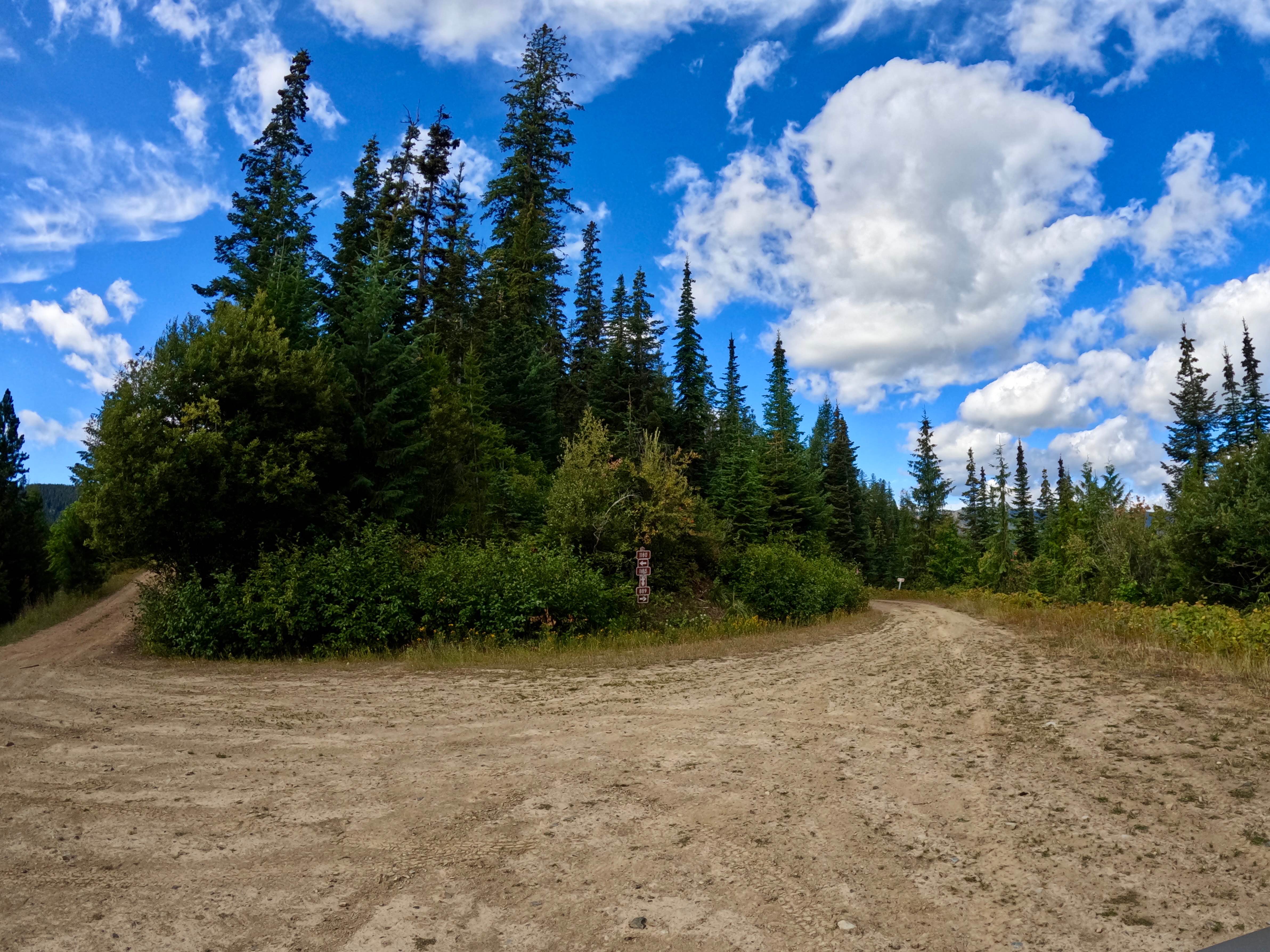
Newman Ridge Road (1185) - Canyon Creek Road (3816)
Total Miles
8.6
Tech Rating
Easy
Best Time
Spring, Summer, Fall
Learn more about Nez Perce Trail 7092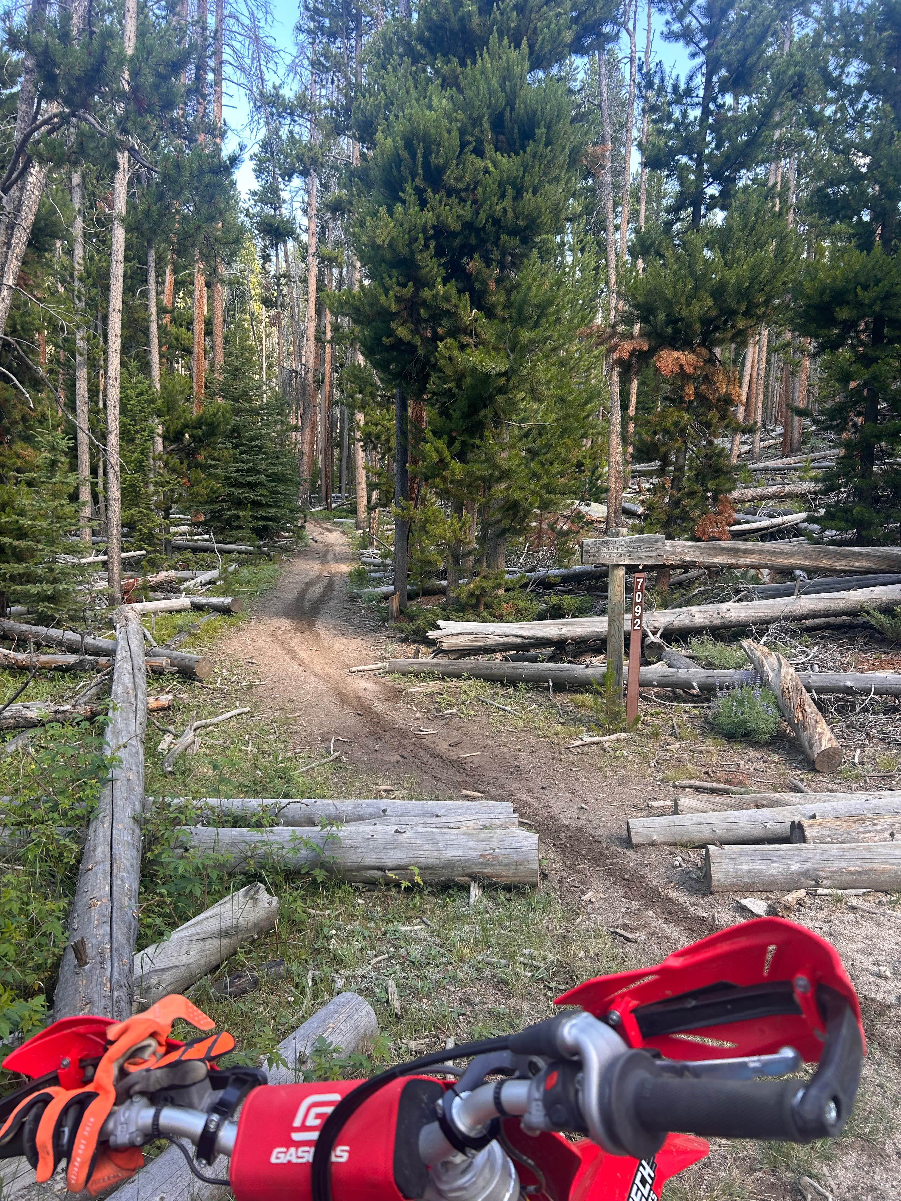
Nez Perce Trail 7092
Total Miles
10.1
Tech Rating
Moderate
Best Time
Spring, Summer, Fall
Learn more about Niarada to Irvine Flats
Niarada to Irvine Flats
Total Miles
15.4
Tech Rating
Easy
Best Time
Spring, Summer, Fall
Learn more about Ninemile Divide Trail
Ninemile Divide Trail
Total Miles
6.4
Tech Rating
Easy
Best Time
Fall
Learn more about Ninemile Prairie East 
Ninemile Prairie East
Total Miles
5.1
Tech Rating
Easy
Best Time
Summer, Spring, Fall

Learn more about North Beaver Creek
North Beaver Creek
Total Miles
2.8
Tech Rating
Easy
Best Time
Spring, Summer, Fall
Learn more about North Branch of Martin Creek
North Branch of Martin Creek
Total Miles
5.5
Tech Rating
Easy
Best Time
Fall, Summer, Spring
Learn more about North Fork Gold Creek
North Fork Gold Creek
Total Miles
10.4
Tech Rating
Easy
Best Time
Spring, Summer, Fall
Learn more about North Fork Howard Trailhead
North Fork Howard Trailhead
Total Miles
0.8
Tech Rating
Easy
Best Time
Summer, Spring, Fall
Learn more about North Fork Road
North Fork Road
Total Miles
15.6
Tech Rating
Easy
Best Time
Spring, Summer, Fall, Winter
Learn more about North Fork Trail
North Fork Trail
Total Miles
4.2
Tech Rating
Moderate
Best Time
Spring, Summer, Fall
Learn more about North Hills Recreation Area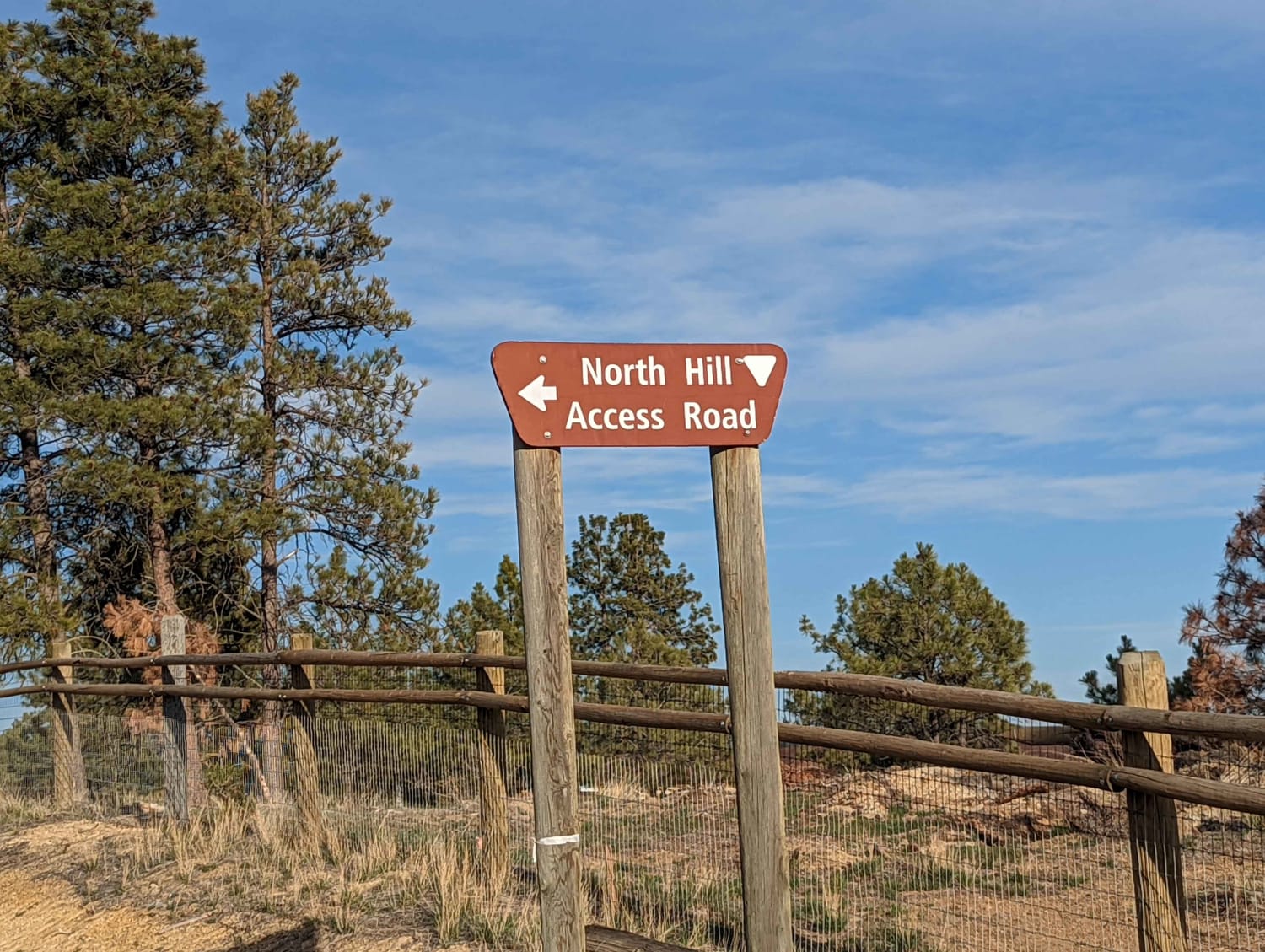
North Hills Recreation Area
Total Miles
2.6
Tech Rating
Easy
Best Time
Summer, Fall
Learn more about North Meadow - McKelvey
North Meadow - McKelvey
Total Miles
2.3
Tech Rating
Moderate
Best Time
Summer, Fall
Learn more about North Meadow - Twin Lakes
North Meadow - Twin Lakes
Total Miles
5.3
Tech Rating
Moderate
Best Time
Summer, Fall
Learn more about North Whitetail Road Spur
North Whitetail Road Spur
Total Miles
1.6
Tech Rating
Easy
Best Time
Spring, Summer, Fall
Learn more about Obsidian Point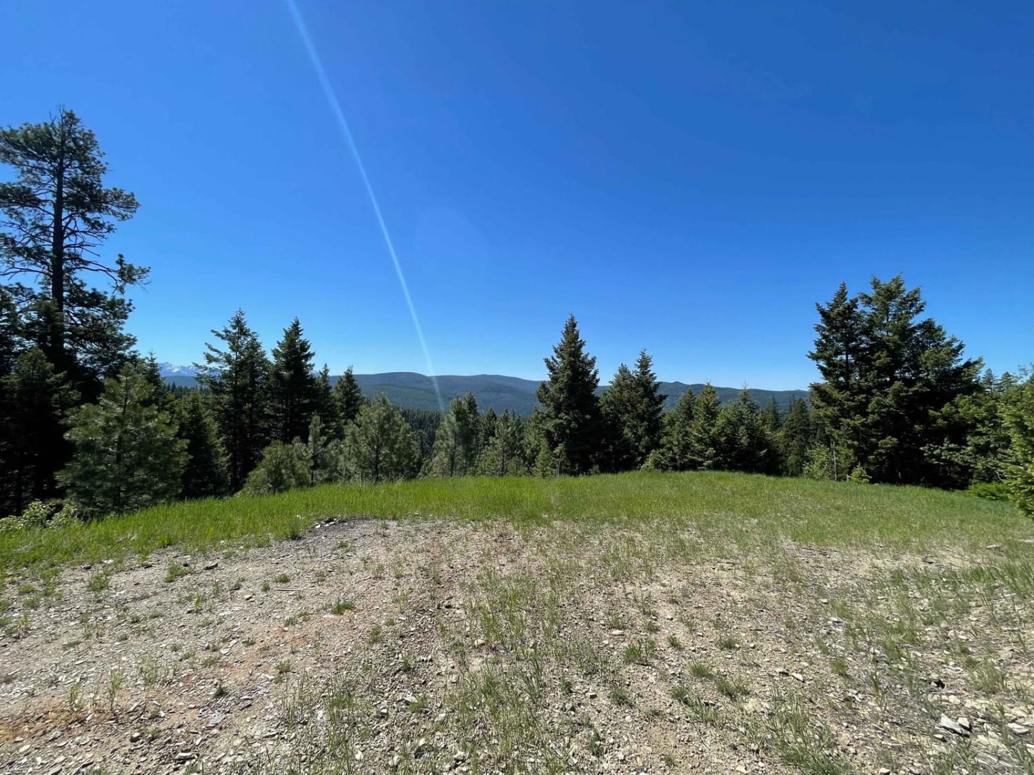
Obsidian Point
Total Miles
2.4
Tech Rating
Easy
Best Time
Summer, Spring, Fall
ATV trails in Montana
Learn more about $50,000 Silver Dollar Inn - FSR 288
$50,000 Silver Dollar Inn - FSR 288
Total Miles
7.5
Tech Rating
Easy
Best Time
Spring, Summer, Fall
Learn more about 2103 West Fork Gold Creek
2103 West Fork Gold Creek
Total Miles
5.7
Tech Rating
Easy
Best Time
Spring, Summer, Fall, Winter
Learn more about 4W-7736 - Big Flat Trail
4W-7736 - Big Flat Trail
Total Miles
3.6
Tech Rating
Easy
Best Time
Spring, Summer, Fall
Learn more about 4W-7829 - Mink Peak Jeep Trail
4W-7829 - Mink Peak Jeep Trail
Total Miles
4.4
Tech Rating
Easy
Best Time
Spring, Summer, Fall
UTV/side-by-side trails in Montana
Learn more about $50,000 Silver Dollar Inn - FSR 288
$50,000 Silver Dollar Inn - FSR 288
Total Miles
7.5
Tech Rating
Easy
Best Time
Spring, Summer, Fall
Learn more about 2103 West Fork Gold Creek
2103 West Fork Gold Creek
Total Miles
5.7
Tech Rating
Easy
Best Time
Spring, Summer, Fall, Winter
Learn more about 4W-7736 - Big Flat Trail
4W-7736 - Big Flat Trail
Total Miles
3.6
Tech Rating
Easy
Best Time
Spring, Summer, Fall
Learn more about 4W-7829 - Mink Peak Jeep Trail
4W-7829 - Mink Peak Jeep Trail
Total Miles
4.4
Tech Rating
Easy
Best Time
Spring, Summer, Fall
The onX Offroad Difference
onX Offroad combines trail photos, descriptions, difficulty ratings, width restrictions, seasonality, and more in a user-friendly interface. Available on all devices, with offline access and full compatibility with CarPlay and Android Auto. Discover what you’re missing today!