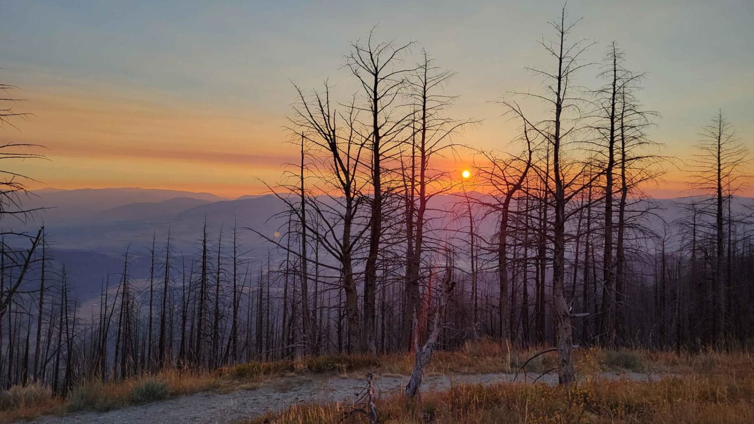
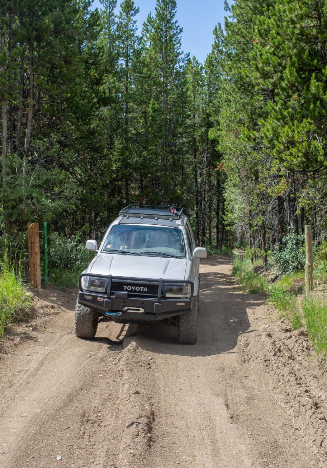
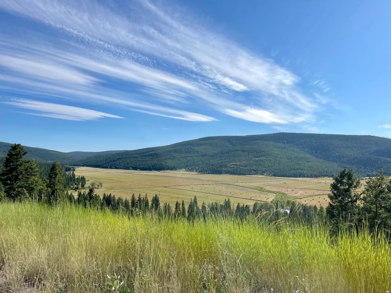
Off-Road Trails in Montana
Discover off-road trails in Montana
Learn more about Moose Creek & Trail 40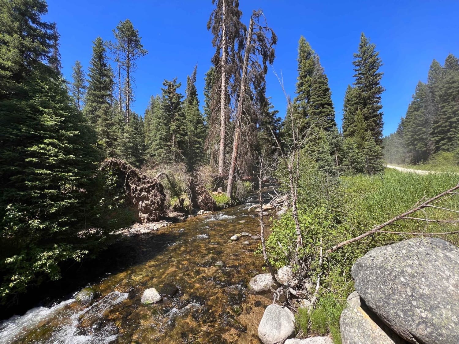
Moose Creek & Trail 40
Total Miles
3.3
Tech Rating
Easy
Best Time
Fall, Summer, Spring
Learn more about Moose Creek to Portal Creek Rd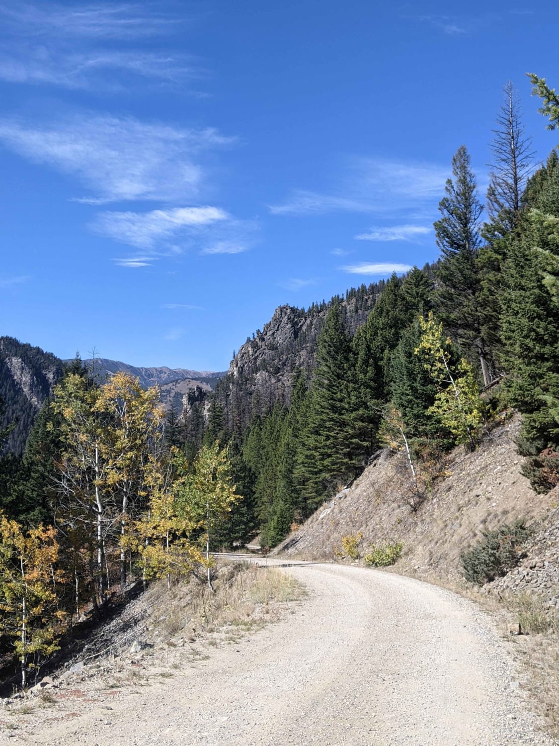
Moose Creek to Portal Creek Rd
Total Miles
13.6
Tech Rating
Easy
Best Time
Summer, Fall
Learn more about Moose Creek/Old Mine
Moose Creek/Old Mine
Total Miles
1.6
Tech Rating
Easy
Best Time
Spring, Summer, Fall
Learn more about Moose Lake Road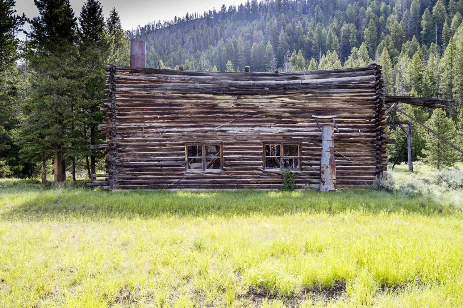
Moose Lake Road
Total Miles
15.4
Tech Rating
Easy
Best Time
Spring, Summer, Fall
Learn more about Morrell Clearwater 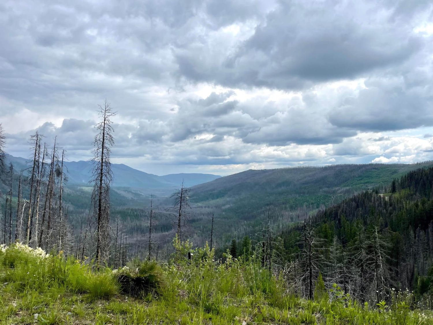
Morrell Clearwater
Total Miles
10.1
Tech Rating
Easy
Best Time
Spring, Summer, Fall
Learn more about Morrell Clearwater North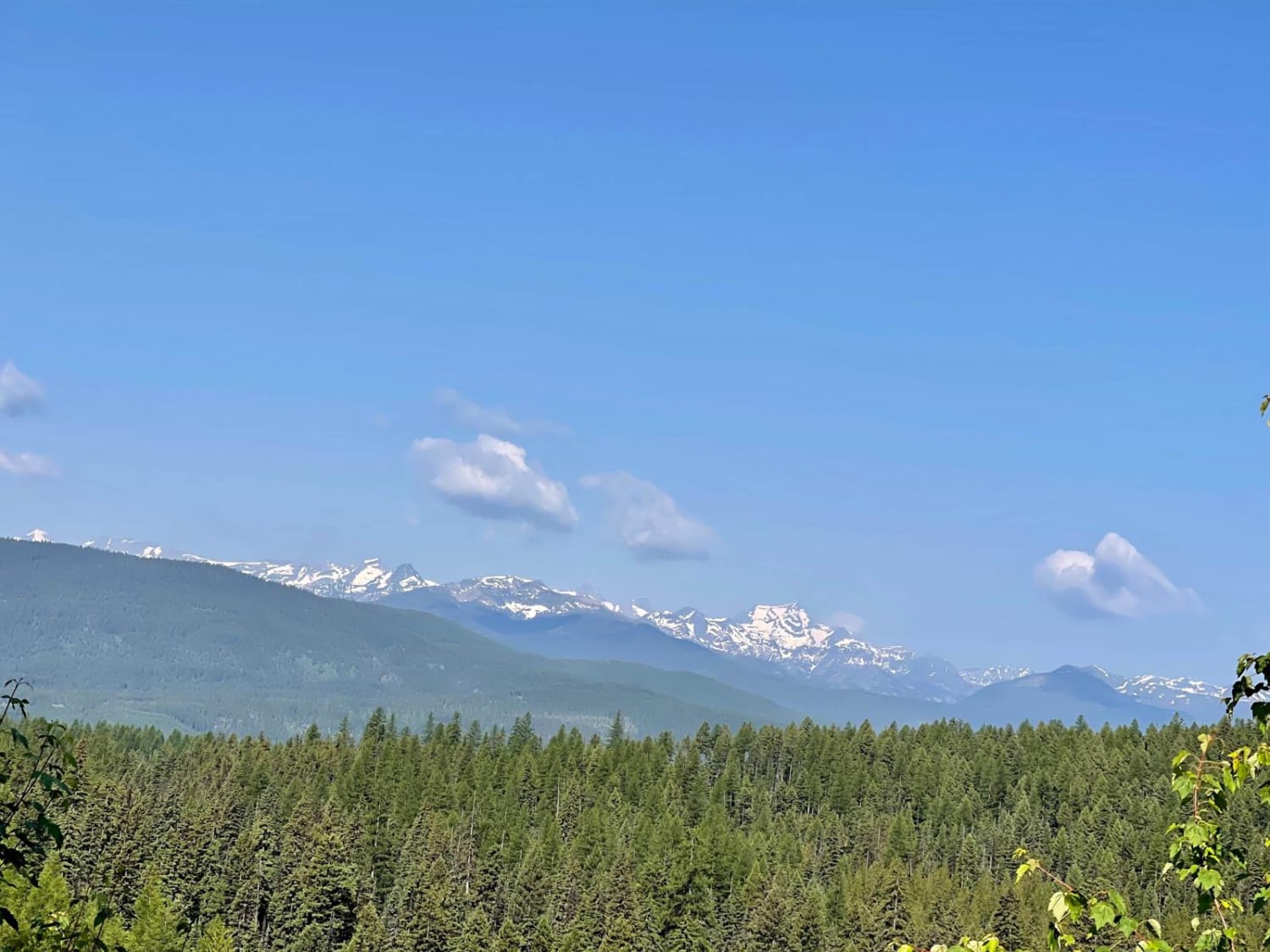
Morrell Clearwater North
Total Miles
6.2
Tech Rating
Easy
Best Time
Spring, Summer, Fall
Learn more about Morrell Mountain Lookout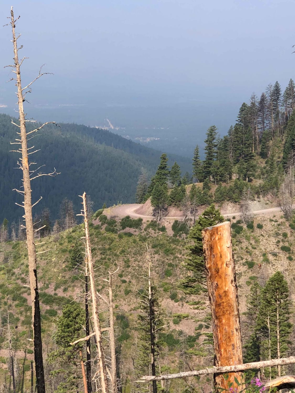
Morrell Mountain Lookout
Total Miles
35.8
Tech Rating
Easy
Best Time
Summer, Fall
Learn more about Morrell- Clearwater Lake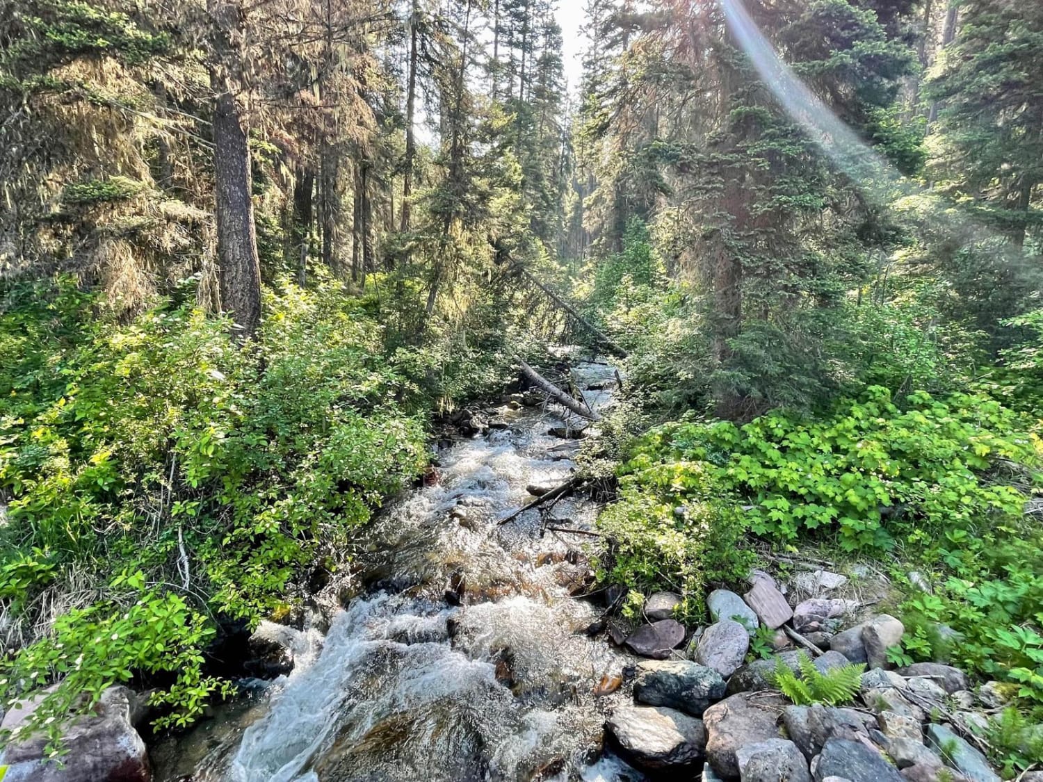
Morrell- Clearwater Lake
Total Miles
6.2
Tech Rating
Easy
Best Time
Spring, Summer, Fall
Learn more about Moto St Downhill
Moto St Downhill
Total Miles
1.5
Tech Rating
Moderate
Best Time
Spring, Summer, Fall
Learn more about Mount Creek Potter Creek Road 2984
Mount Creek Potter Creek Road 2984
Total Miles
8.5
Tech Rating
Easy
Best Time
Summer, Fall
Learn more about Mount High Peak
Mount High Peak
Total Miles
20.5
Tech Rating
Moderate
Best Time
Summer, Fall
Learn more about Mount Marston Lookout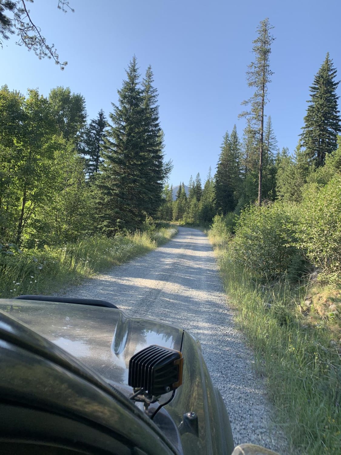
Mount Marston Lookout
Total Miles
15.2
Tech Rating
Easy
Best Time
Summer
Learn more about Muddy Creek Road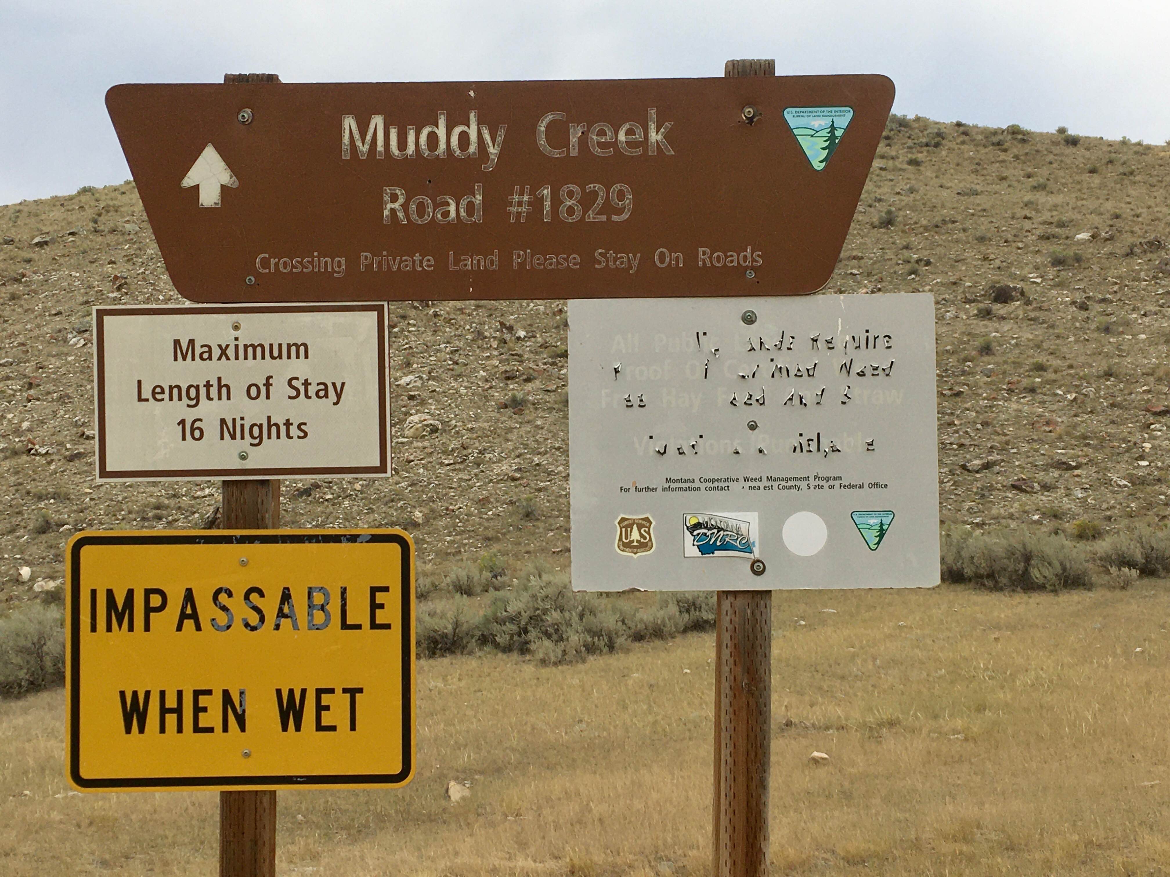
Muddy Creek Road
Total Miles
3.7
Tech Rating
Easy
Best Time
Spring, Summer, Fall
Learn more about Negro Mountain Treasure Mountain
Negro Mountain Treasure Mountain
Total Miles
2.5
Tech Rating
Easy
Best Time
Spring, Summer, Fall
Learn more about Nemote Creek to Stark Lookout
Nemote Creek to Stark Lookout
Total Miles
14.4
Tech Rating
Easy
Best Time
Summer
Learn more about Nevada-Ogden Road
Nevada-Ogden Road
Total Miles
16.6
Tech Rating
Easy
Best Time
Spring, Summer, Fall
ATV trails in Montana
Learn more about $50,000 Silver Dollar Inn - FSR 288
$50,000 Silver Dollar Inn - FSR 288
Total Miles
7.5
Tech Rating
Easy
Best Time
Spring, Summer, Fall
Learn more about 2103 West Fork Gold Creek
2103 West Fork Gold Creek
Total Miles
5.7
Tech Rating
Easy
Best Time
Spring, Summer, Fall, Winter
Learn more about 4W-7736 - Big Flat Trail
4W-7736 - Big Flat Trail
Total Miles
3.6
Tech Rating
Easy
Best Time
Spring, Summer, Fall
Learn more about 4W-7829 - Mink Peak Jeep Trail
4W-7829 - Mink Peak Jeep Trail
Total Miles
4.4
Tech Rating
Easy
Best Time
Spring, Summer, Fall
UTV/side-by-side trails in Montana
Learn more about $50,000 Silver Dollar Inn - FSR 288
$50,000 Silver Dollar Inn - FSR 288
Total Miles
7.5
Tech Rating
Easy
Best Time
Spring, Summer, Fall
Learn more about 2103 West Fork Gold Creek
2103 West Fork Gold Creek
Total Miles
5.7
Tech Rating
Easy
Best Time
Spring, Summer, Fall, Winter
Learn more about 4W-7736 - Big Flat Trail
4W-7736 - Big Flat Trail
Total Miles
3.6
Tech Rating
Easy
Best Time
Spring, Summer, Fall
Learn more about 4W-7829 - Mink Peak Jeep Trail
4W-7829 - Mink Peak Jeep Trail
Total Miles
4.4
Tech Rating
Easy
Best Time
Spring, Summer, Fall
The onX Offroad Difference
onX Offroad combines trail photos, descriptions, difficulty ratings, width restrictions, seasonality, and more in a user-friendly interface. Available on all devices, with offline access and full compatibility with CarPlay and Android Auto. Discover what you’re missing today!