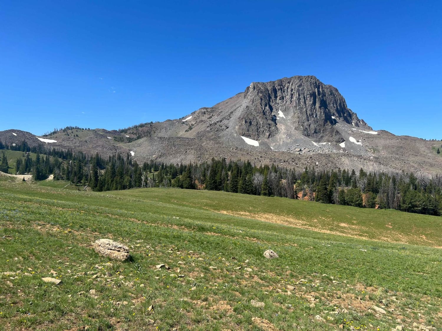
Off-Road Trails in Montana
Discover off-road trails in Montana
Learn more about Puddle Splasher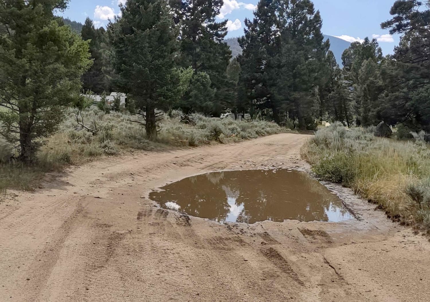
Puddle Splasher
Total Miles
2.4
Tech Rating
Easy
Best Time
Spring, Summer, Fall
Learn more about Quartz Creek Road-The Jack Saloon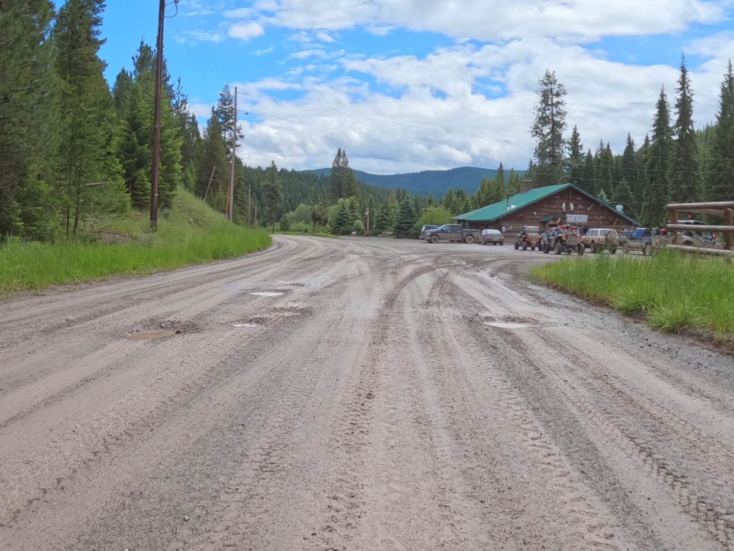
Quartz Creek Road-The Jack Saloon
Total Miles
48.1
Tech Rating
Easy
Best Time
Summer, Fall, Spring
Learn more about Radersburg Pass Loop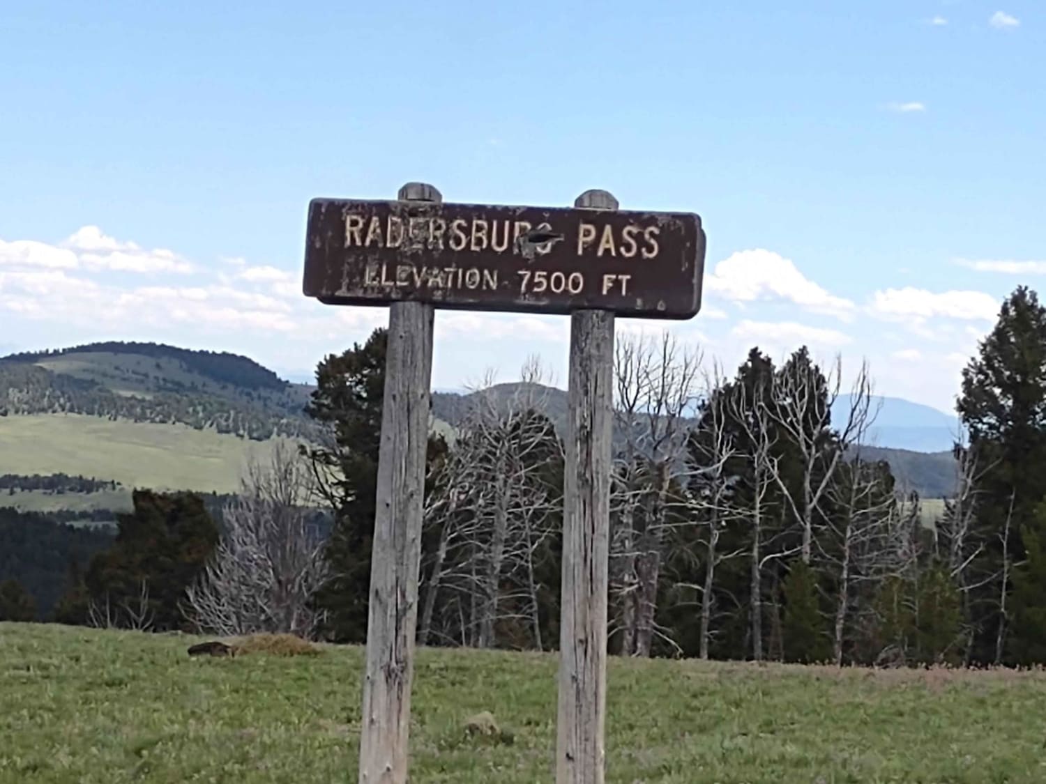
Radersburg Pass Loop
Total Miles
7.8
Tech Rating
Easy
Best Time
Spring, Summer, Fall
Learn more about Railroad Creek 
Railroad Creek
Total Miles
10.2
Tech Rating
Easy
Best Time
Spring, Summer, Fall
Learn more about Rainbow Point
Rainbow Point
Total Miles
2.7
Tech Rating
Easy
Best Time
Fall, Summer, Spring
Learn more about Ramshorn Lake #160 
Ramshorn Lake #160
Total Miles
5.6
Tech Rating
Moderate
Best Time
Summer
Learn more about Rapelje Road
Rapelje Road
Total Miles
35.4
Tech Rating
Easy
Best Time
Spring, Summer, Fall, Winter
Learn more about Ratio Mountain Majesty Loop
Ratio Mountain Majesty Loop
Total Miles
2.7
Tech Rating
Moderate
Best Time
Spring, Summer, Fall
Learn more about Reanus Cone Trail Part 1
Reanus Cone Trail Part 1
Total Miles
4.5
Tech Rating
Easy
Best Time
Spring, Summer, Fall
Learn more about Reanus Cone Trail Part 2
Reanus Cone Trail Part 2
Total Miles
3.4
Tech Rating
Easy
Best Time
Spring, Summer, Fall
Learn more about Red Meadow Creek
Red Meadow Creek
Total Miles
80.7
Tech Rating
Easy
Best Time
Summer, Fall
Learn more about Red Rock Lakes
Red Rock Lakes
Total Miles
55.7
Tech Rating
Easy
Best Time
Spring, Summer, Fall
Learn more about Red Top Hill Road
Red Top Hill Road
Total Miles
4.2
Tech Rating
Easy
Best Time
Spring, Summer, Fall
Learn more about Revenue Flats BLM
Revenue Flats BLM
Total Miles
6.9
Tech Rating
Easy
Best Time
Spring, Summer, Fall
Learn more about Reynolds - Lick ATV
Reynolds - Lick ATV
Total Miles
5.4
Tech Rating
Moderate
Best Time
Spring, Summer, Fall
Learn more about Reynolds Ridge Road - FS 5770
Reynolds Ridge Road - FS 5770
Total Miles
2.1
Tech Rating
Easy
Best Time
Spring, Summer, Fall, Winter
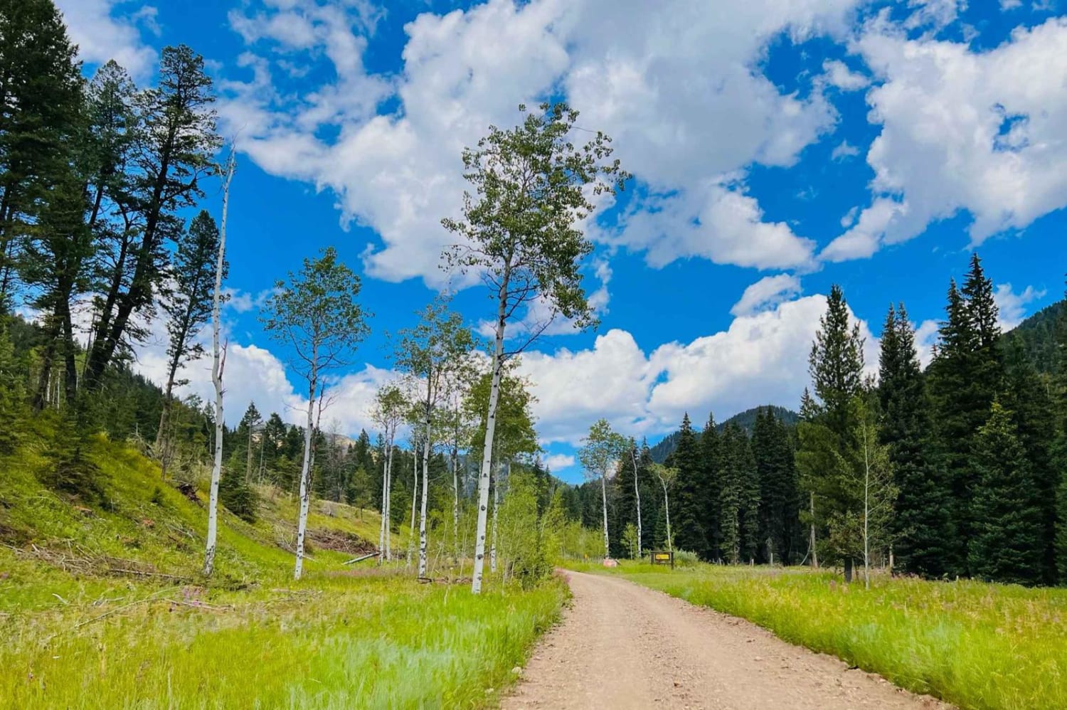
ATV trails in Montana
Learn more about $50,000 Silver Dollar Inn - FSR 288
$50,000 Silver Dollar Inn - FSR 288
Total Miles
7.5
Tech Rating
Easy
Best Time
Spring, Summer, Fall
Learn more about 2103 West Fork Gold Creek
2103 West Fork Gold Creek
Total Miles
5.7
Tech Rating
Easy
Best Time
Spring, Summer, Fall, Winter
Learn more about 4W-7736 - Big Flat Trail
4W-7736 - Big Flat Trail
Total Miles
3.6
Tech Rating
Easy
Best Time
Spring, Summer, Fall
Learn more about 4W-7829 - Mink Peak Jeep Trail
4W-7829 - Mink Peak Jeep Trail
Total Miles
4.4
Tech Rating
Easy
Best Time
Spring, Summer, Fall
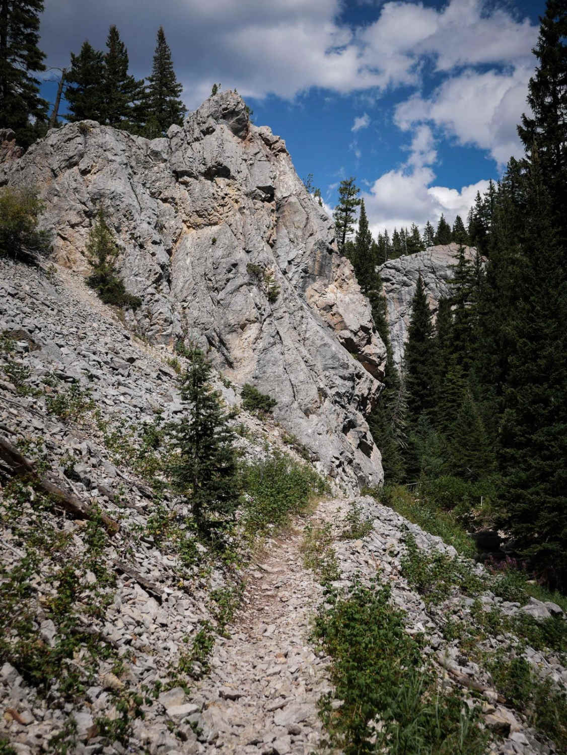
UTV/side-by-side trails in Montana
Learn more about $50,000 Silver Dollar Inn - FSR 288
$50,000 Silver Dollar Inn - FSR 288
Total Miles
7.5
Tech Rating
Easy
Best Time
Spring, Summer, Fall
Learn more about 2103 West Fork Gold Creek
2103 West Fork Gold Creek
Total Miles
5.7
Tech Rating
Easy
Best Time
Spring, Summer, Fall, Winter
Learn more about 4W-7736 - Big Flat Trail
4W-7736 - Big Flat Trail
Total Miles
3.6
Tech Rating
Easy
Best Time
Spring, Summer, Fall
Learn more about 4W-7829 - Mink Peak Jeep Trail
4W-7829 - Mink Peak Jeep Trail
Total Miles
4.4
Tech Rating
Easy
Best Time
Spring, Summer, Fall
The onX Offroad Difference
onX Offroad combines trail photos, descriptions, difficulty ratings, width restrictions, seasonality, and more in a user-friendly interface. Available on all devices, with offline access and full compatibility with CarPlay and Android Auto. Discover what you’re missing today!