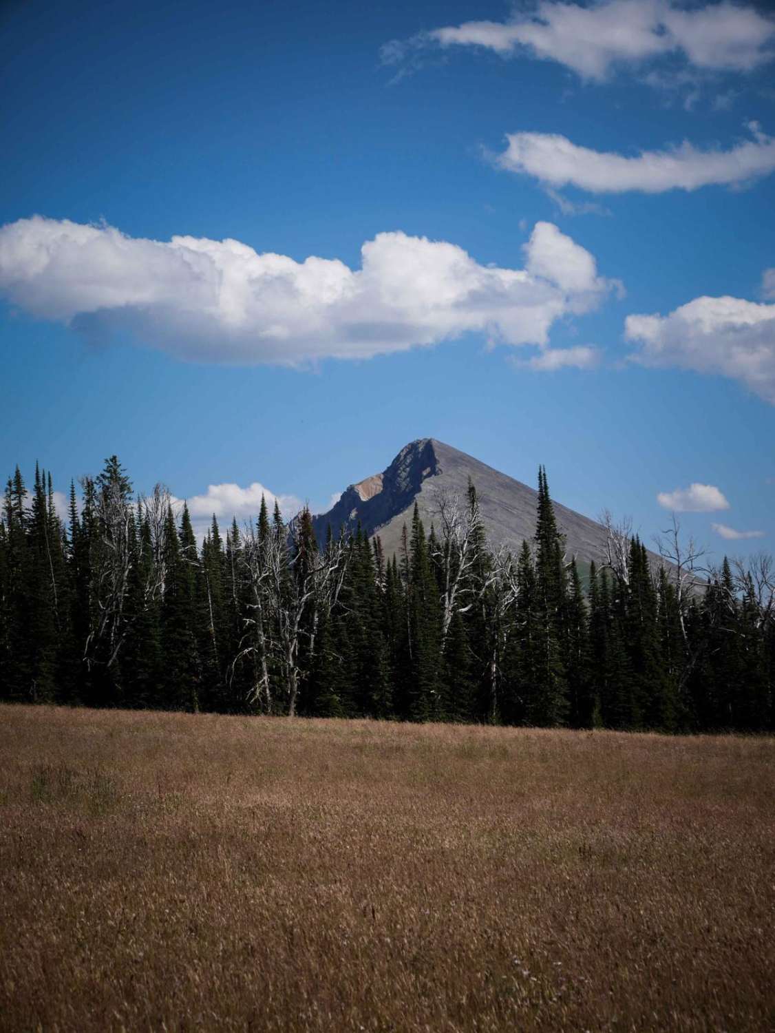
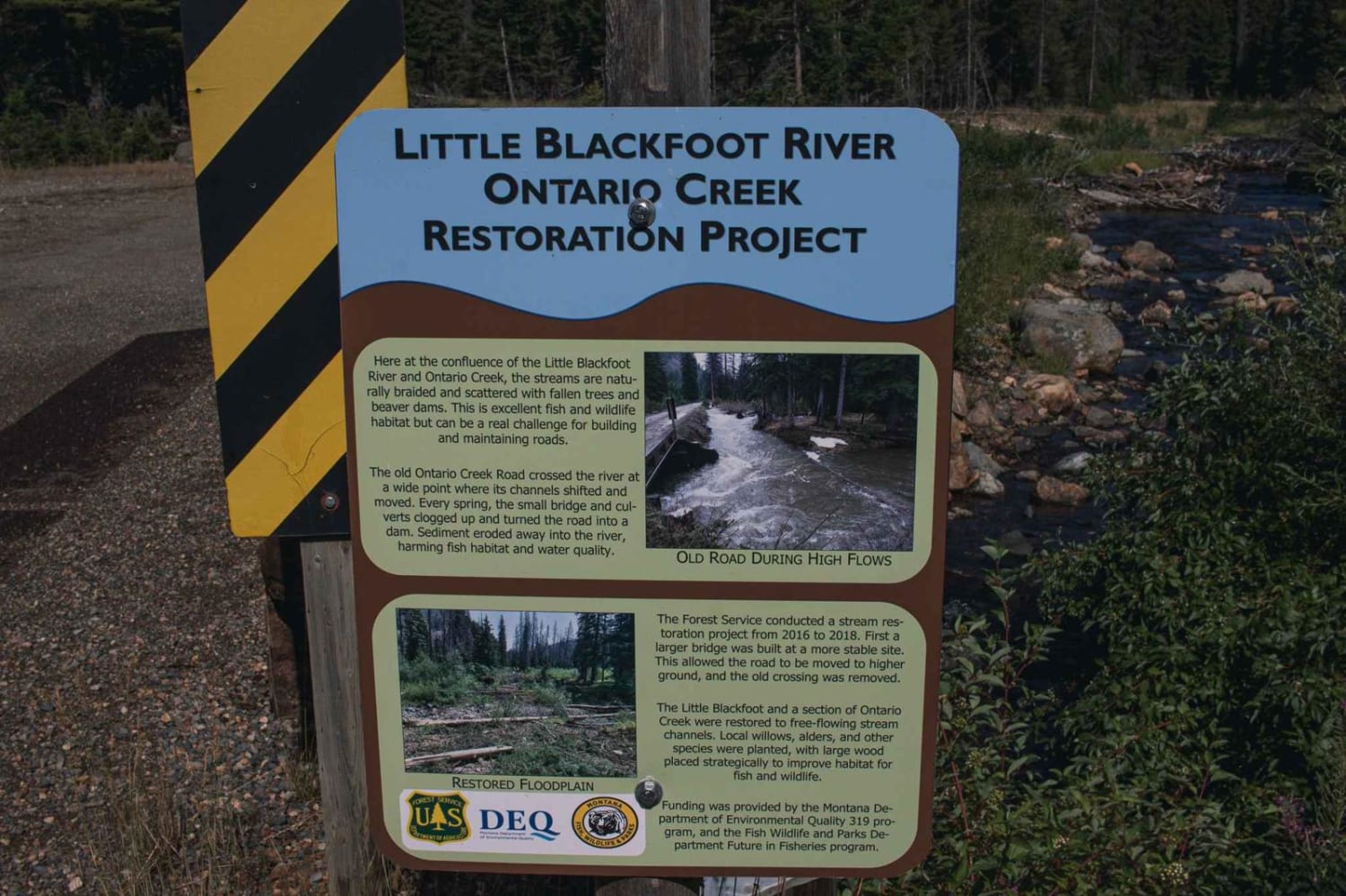
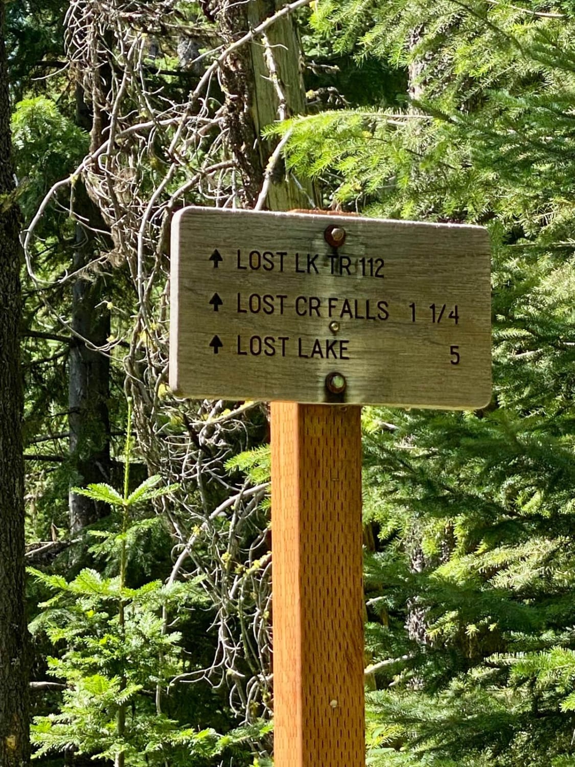
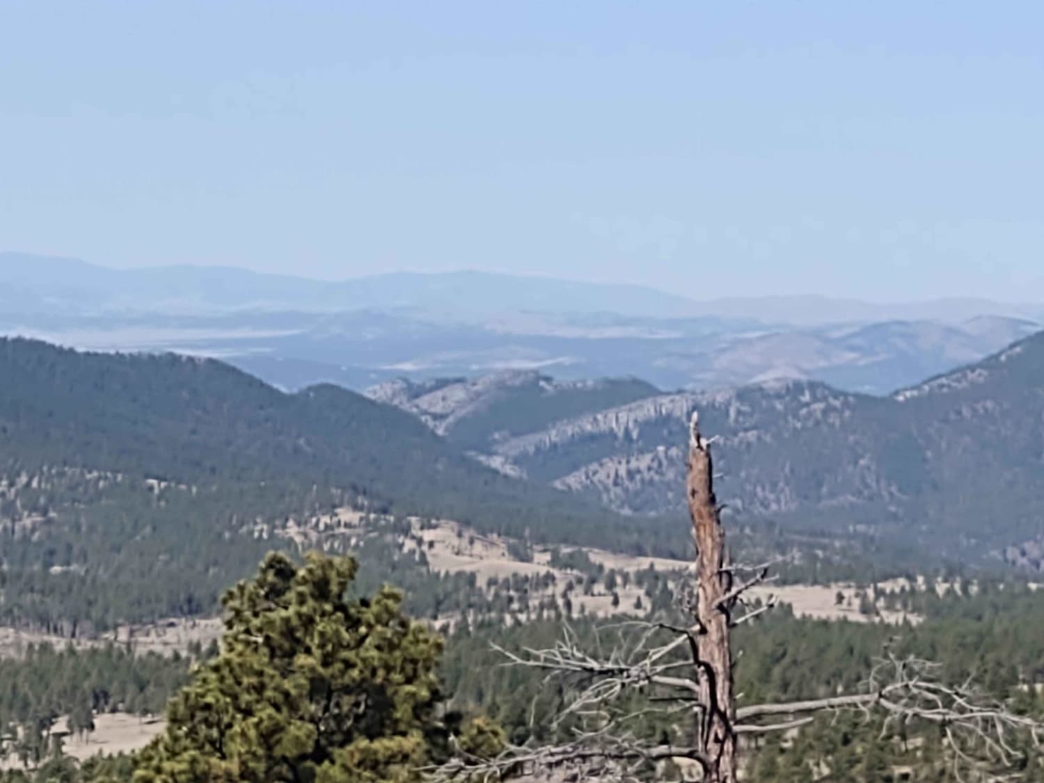
Off-Road Trails in Montana
Discover off-road trails in Montana
Learn more about Old Coal Creek Dead End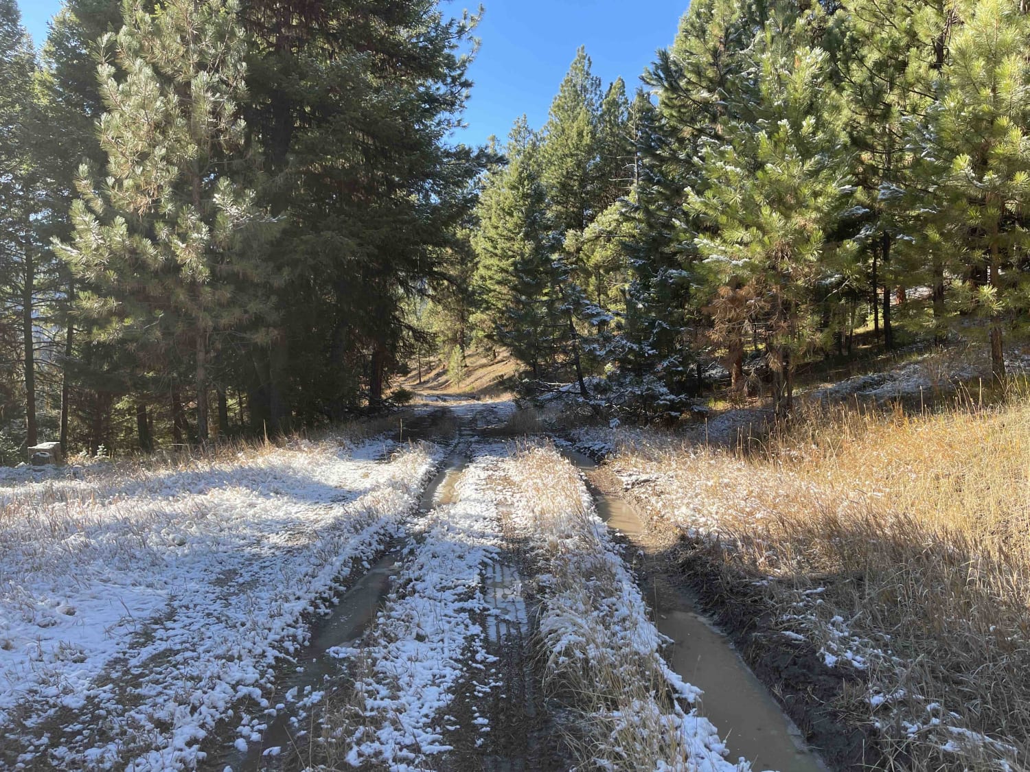
Old Coal Creek Dead End
Total Miles
0.7
Tech Rating
Easy
Best Time
Fall, Summer, Spring
Learn more about Old Highway 2
Old Highway 2
Total Miles
4.4
Tech Rating
Easy
Best Time
Spring, Summer, Fall
Learn more about Old Hot Springs Road - HS 1000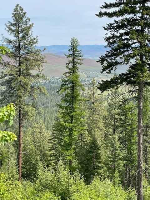
Old Hot Springs Road - HS 1000
Total Miles
9.8
Tech Rating
Easy
Best Time
Spring, Summer, Fall
Learn more about Old Milwaukee Grade- FS 300-1
Old Milwaukee Grade- FS 300-1
Total Miles
8.4
Tech Rating
Easy
Best Time
Spring, Summer, Fall
Learn more about Olson Peak Singletrack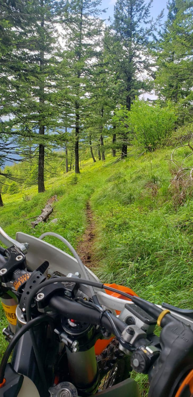
Olson Peak Singletrack
Total Miles
9.9
Tech Rating
Easy
Best Time
Spring, Summer, Fall
Learn more about Oregon Lakes Rd-State Line Rd
Oregon Lakes Rd-State Line Rd
Total Miles
4.0
Tech Rating
Easy
Best Time
Summer, Fall
Learn more about Overwhich Road - FS 5703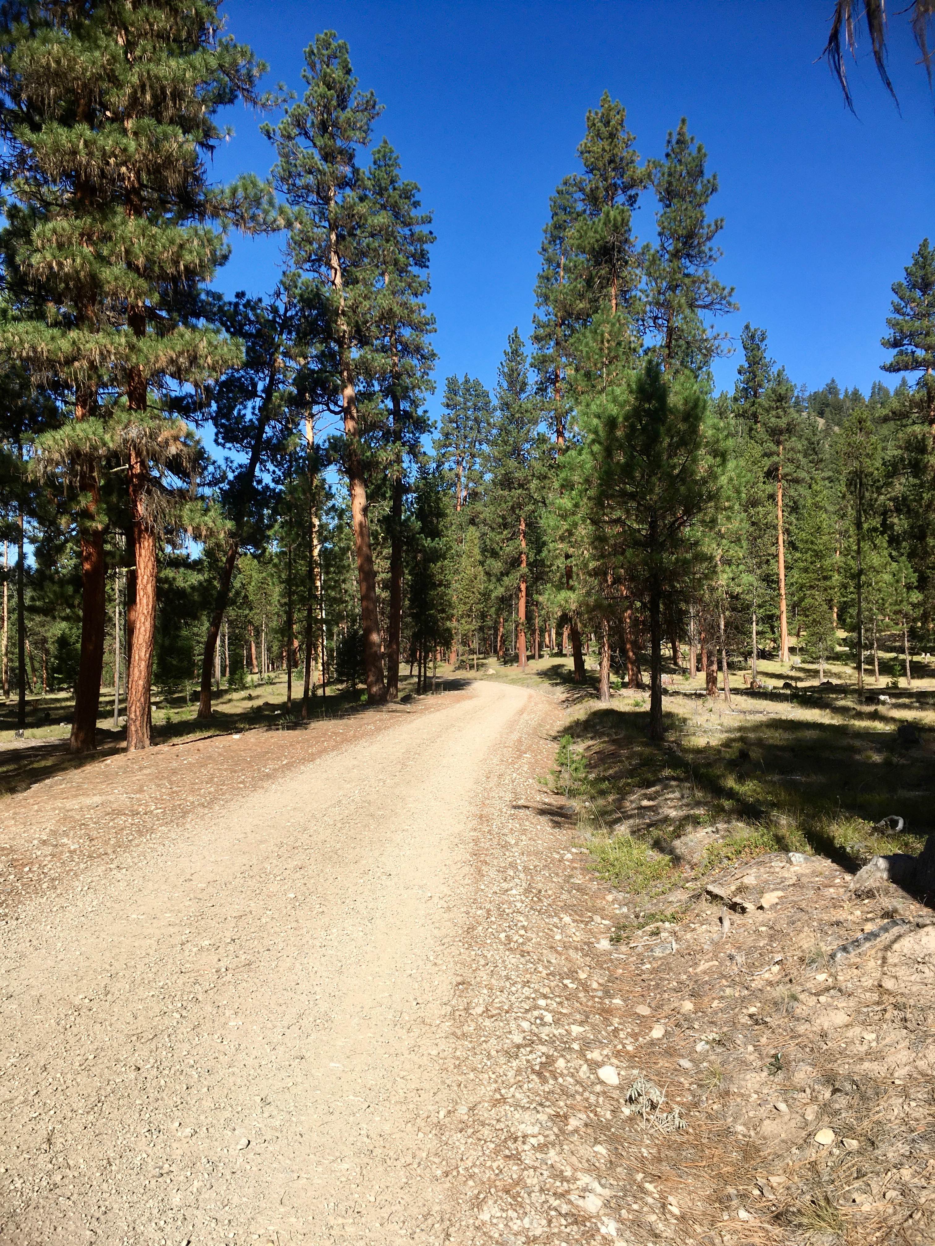
Overwhich Road - FS 5703
Total Miles
4.6
Tech Rating
Easy
Best Time
Spring, Summer, Fall
Learn more about Owl Creek Loop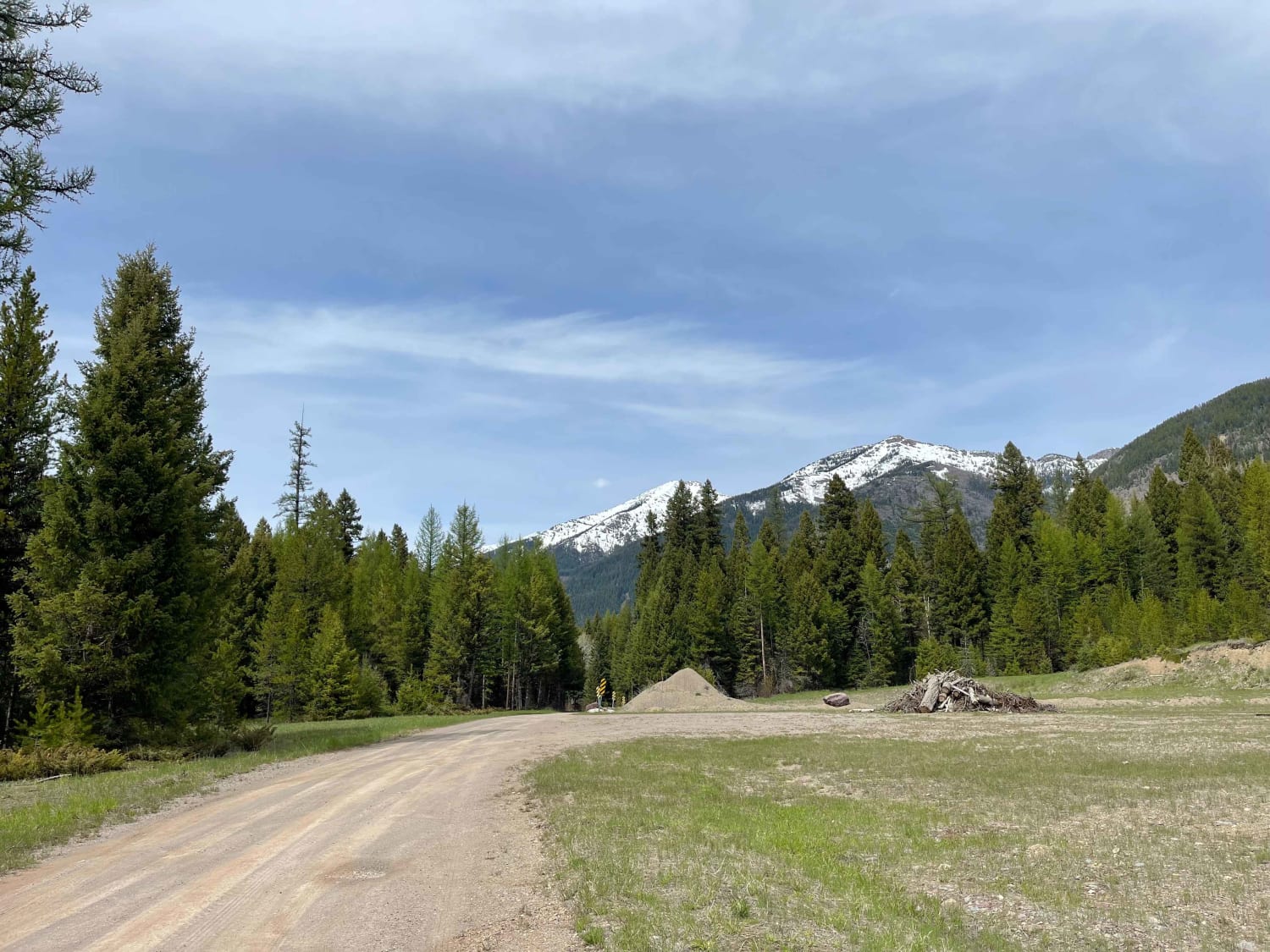
Owl Creek Loop
Total Miles
6.0
Tech Rating
Easy
Best Time
Fall, Summer, Spring
Learn more about Owl Gulch Loop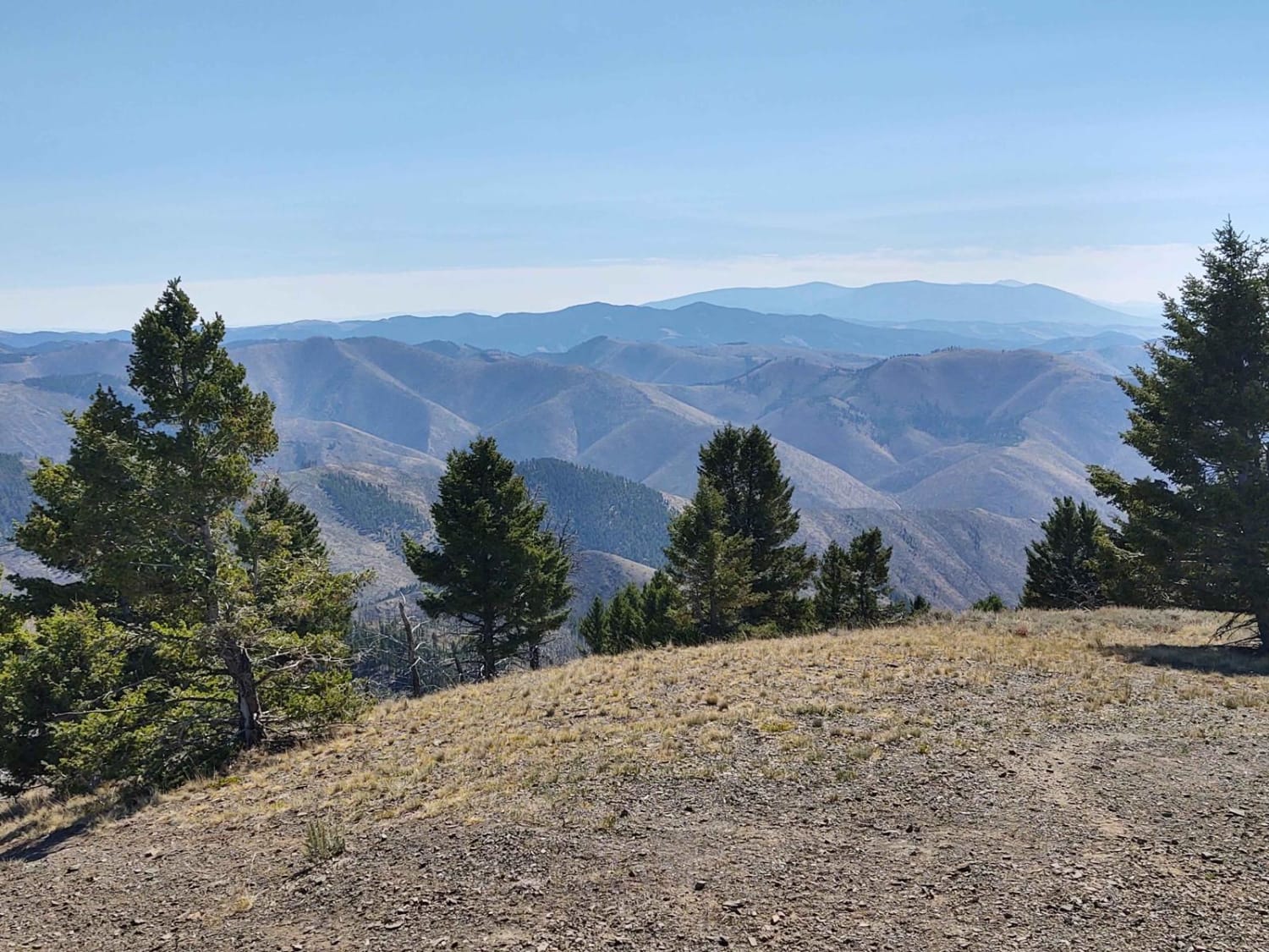
Owl Gulch Loop
Total Miles
3.7
Tech Rating
Easy
Best Time
Spring, Summer, Fall
Learn more about Pardee Cr. Rd-Ninemile Rd (97)
Pardee Cr. Rd-Ninemile Rd (97)
Total Miles
13.9
Tech Rating
Easy
Best Time
Summer, Fall
Learn more about Park Creek Road - FS 607
Park Creek Road - FS 607
Total Miles
3.4
Tech Rating
Easy
Best Time
Spring, Summer, Fall
Learn more about Patrick Creek to Emmons Creek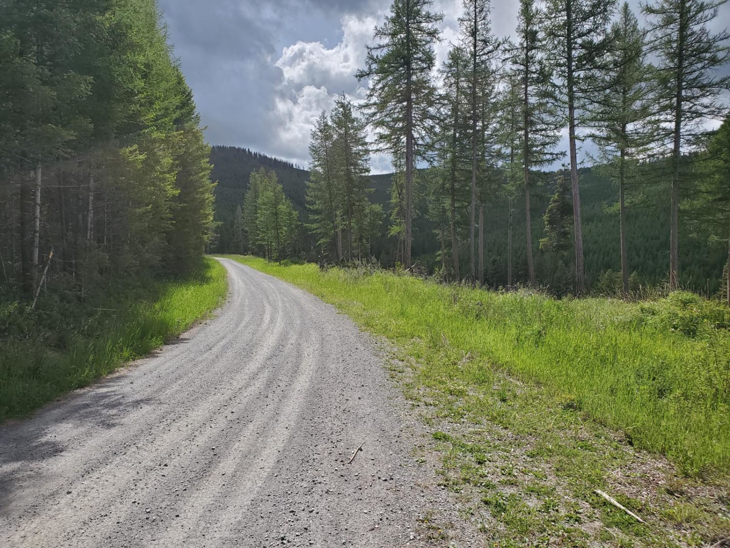
Patrick Creek to Emmons Creek
Total Miles
18.1
Tech Rating
Easy
Best Time
Spring, Summer, Fall
Learn more about Peter's Ridge Road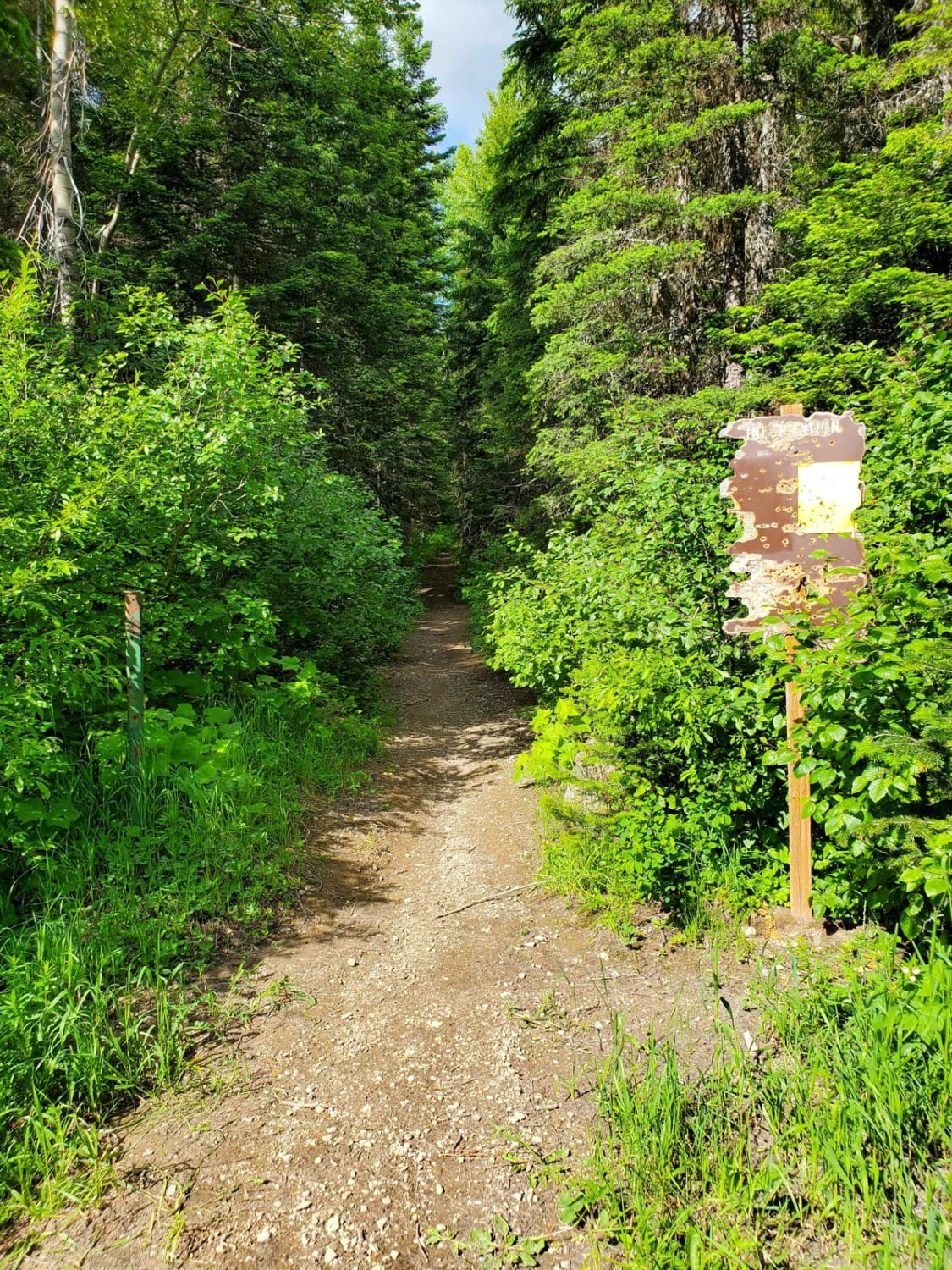
Peter's Ridge Road
Total Miles
6.0
Tech Rating
Easy
Best Time
Spring, Summer, Fall
Learn more about Petroglyphs Canyon Natural Area
Petroglyphs Canyon Natural Area
Total Miles
1.6
Tech Rating
Easy
Best Time
Spring, Summer, Fall

ATV trails in Montana
Learn more about $50,000 Silver Dollar Inn - FSR 288
$50,000 Silver Dollar Inn - FSR 288
Total Miles
7.5
Tech Rating
Easy
Best Time
Spring, Summer, Fall
Learn more about 2103 West Fork Gold Creek
2103 West Fork Gold Creek
Total Miles
5.7
Tech Rating
Easy
Best Time
Spring, Summer, Fall, Winter
Learn more about 4W-7736 - Big Flat Trail
4W-7736 - Big Flat Trail
Total Miles
3.6
Tech Rating
Easy
Best Time
Spring, Summer, Fall
Learn more about 4W-7829 - Mink Peak Jeep Trail
4W-7829 - Mink Peak Jeep Trail
Total Miles
4.4
Tech Rating
Easy
Best Time
Spring, Summer, Fall
UTV/side-by-side trails in Montana
Learn more about $50,000 Silver Dollar Inn - FSR 288
$50,000 Silver Dollar Inn - FSR 288
Total Miles
7.5
Tech Rating
Easy
Best Time
Spring, Summer, Fall
Learn more about 2103 West Fork Gold Creek
2103 West Fork Gold Creek
Total Miles
5.7
Tech Rating
Easy
Best Time
Spring, Summer, Fall, Winter
Learn more about 4W-7736 - Big Flat Trail
4W-7736 - Big Flat Trail
Total Miles
3.6
Tech Rating
Easy
Best Time
Spring, Summer, Fall
Learn more about 4W-7829 - Mink Peak Jeep Trail
4W-7829 - Mink Peak Jeep Trail
Total Miles
4.4
Tech Rating
Easy
Best Time
Spring, Summer, Fall
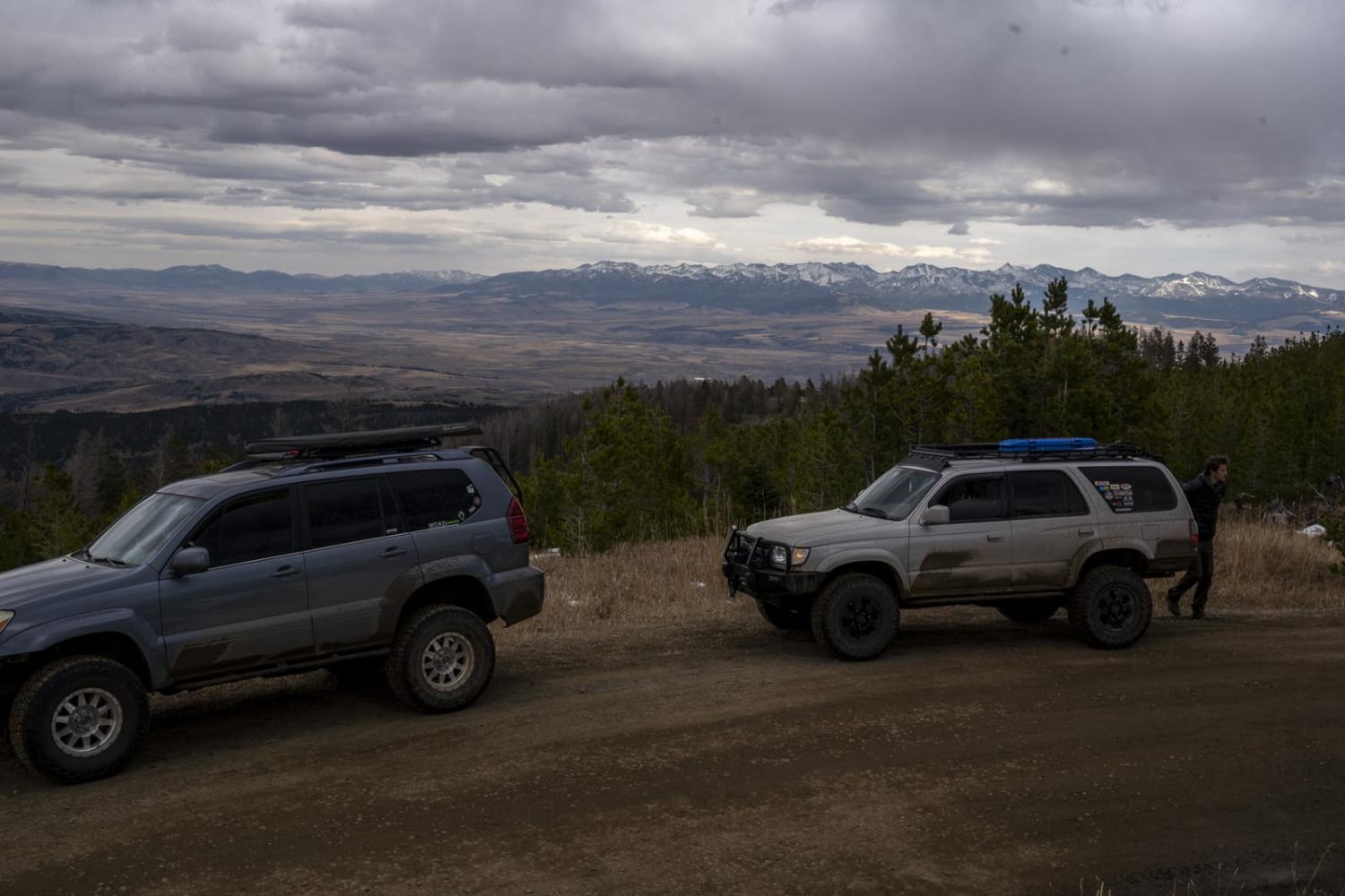
The onX Offroad Difference
onX Offroad combines trail photos, descriptions, difficulty ratings, width restrictions, seasonality, and more in a user-friendly interface. Available on all devices, with offline access and full compatibility with CarPlay and Android Auto. Discover what you’re missing today!