Ontario
Total Miles
2.1
Technical Rating
Best Time
Spring, Summer, Fall
Trail Type
Full-Width Road
Accessible By
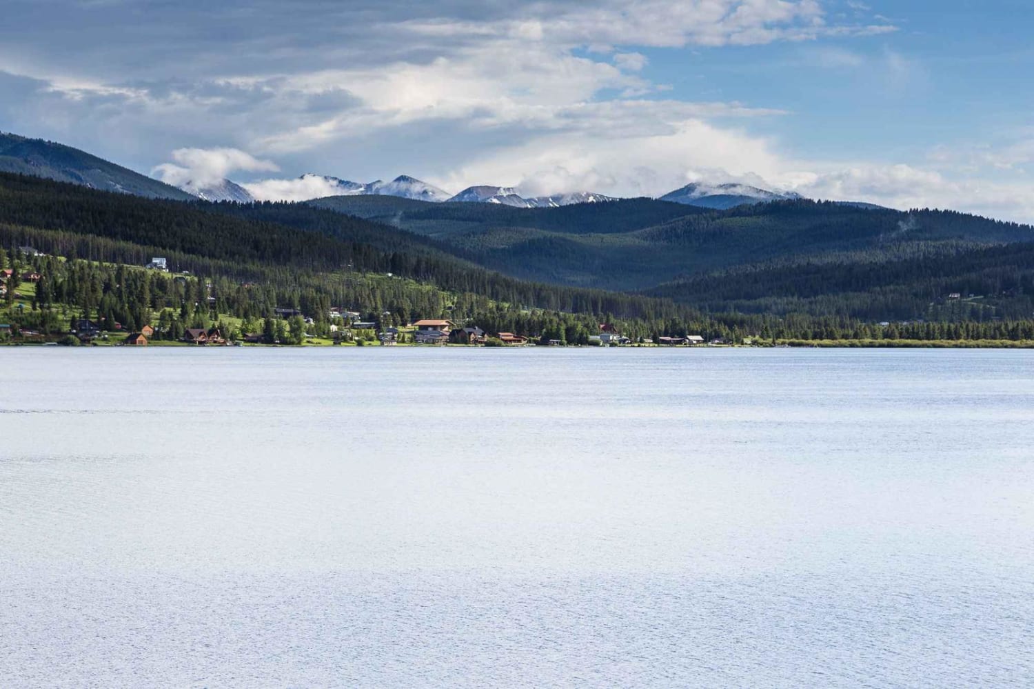
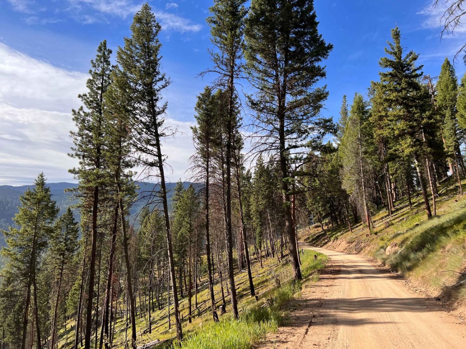
Trail Overview
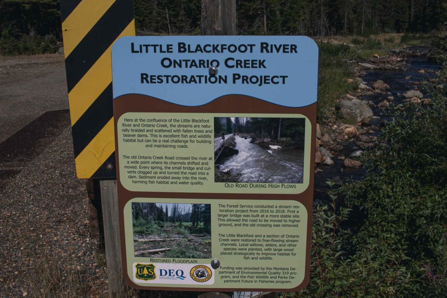
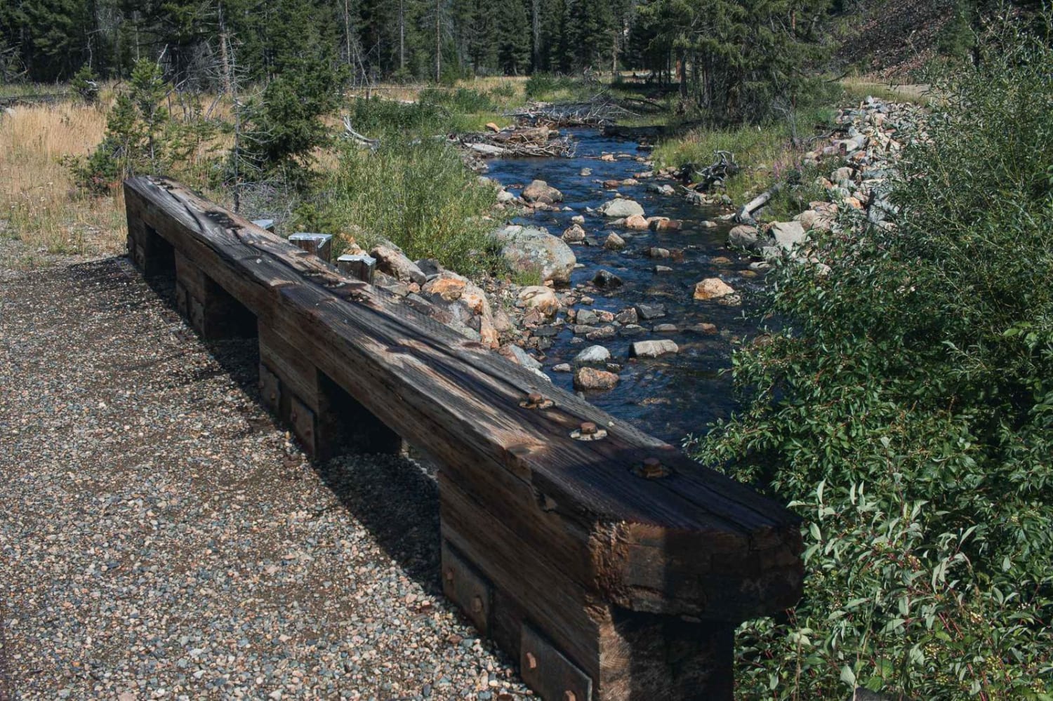
The road has been rerouted due to a bridge giving out, but you will still be able to get to this road to enjoy its views. There are a bunch of camping spots, enough space for a large group at some spots.Dirt or rocky road, typically unmaintained after rain or snow. Roads are typically one to two vehicles wide.
Photos of Ontario
Difficulty
Can be tight in some spots, with little room to pass.
Status Reports
Ontario can be accessed by the following ride types:
- High-Clearance 4x4
- SUV
- SxS (60")
- ATV (50")
- Dirt Bike
Ontario Map
Popular Trails
Lower Smith Ridge
Meadow Peak Lookout
East Fork Reservoir
Teepee Point Vehicle Access
The onX Offroad Difference
onX Offroad combines trail photos, descriptions, difficulty ratings, width restrictions, seasonality, and more in a user-friendly interface. Available on all devices, with offline access and full compatibility with CarPlay and Android Auto. Discover what you’re missing today!