Upper Pierce Creek
Total Miles
7.3
Technical Rating
Best Time
Summer, Fall
Trail Type
Full-Width Road
Accessible By
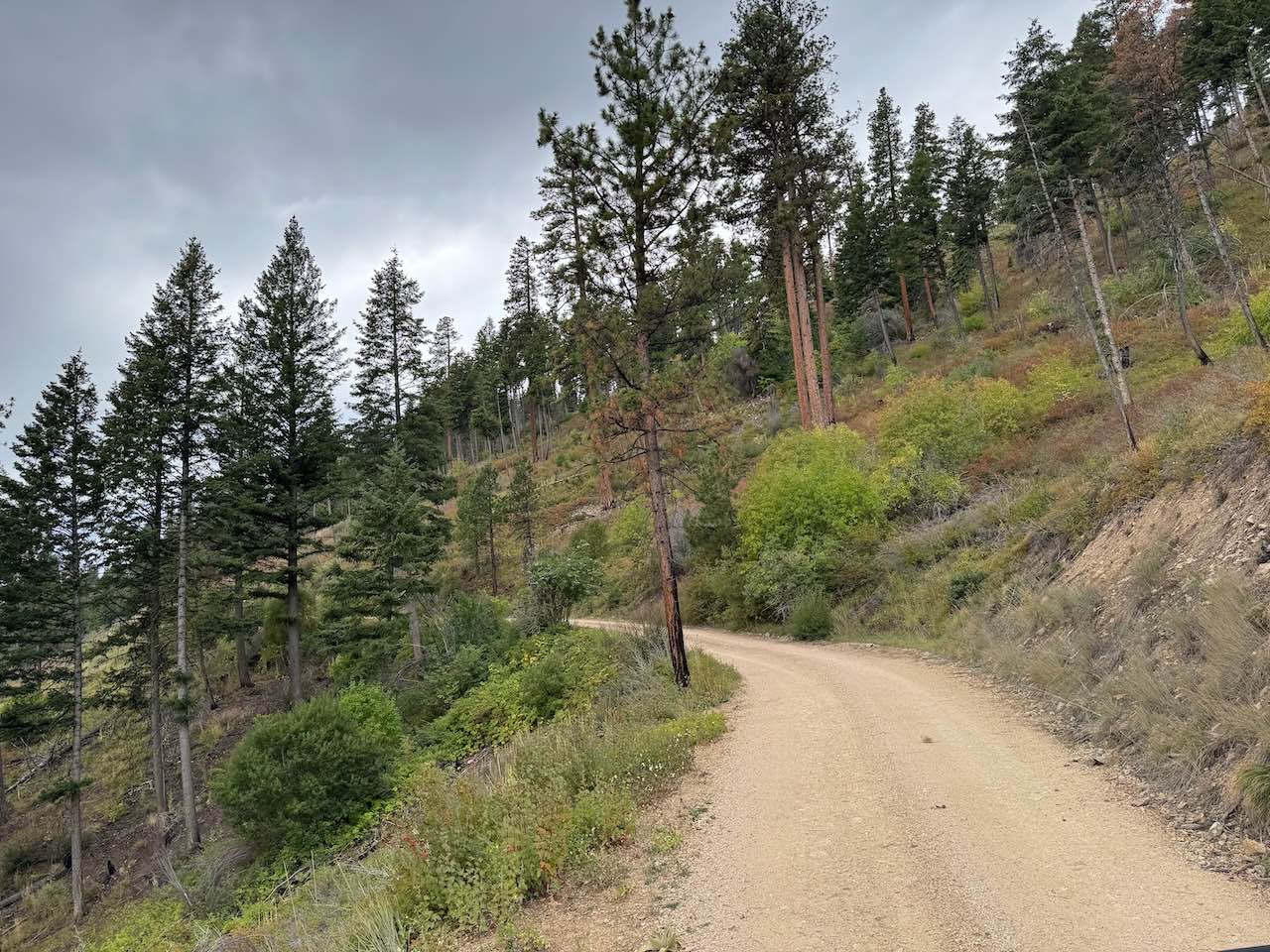
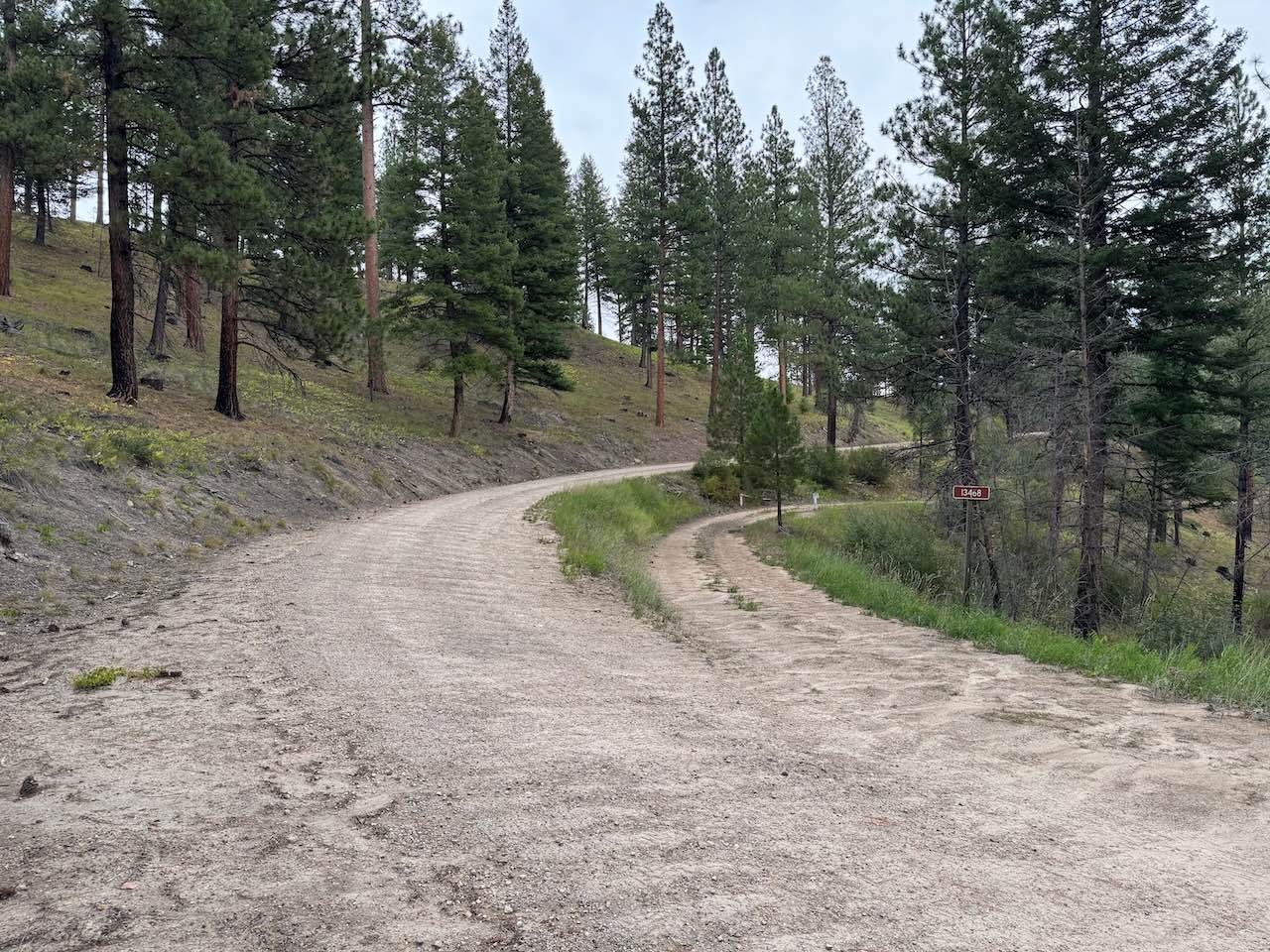
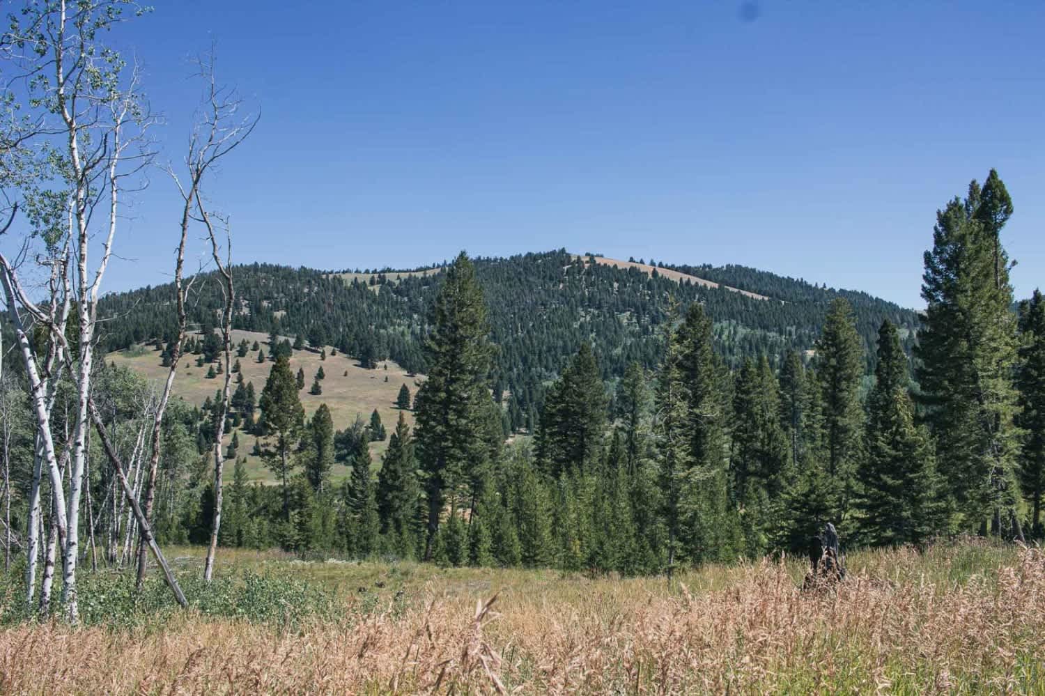
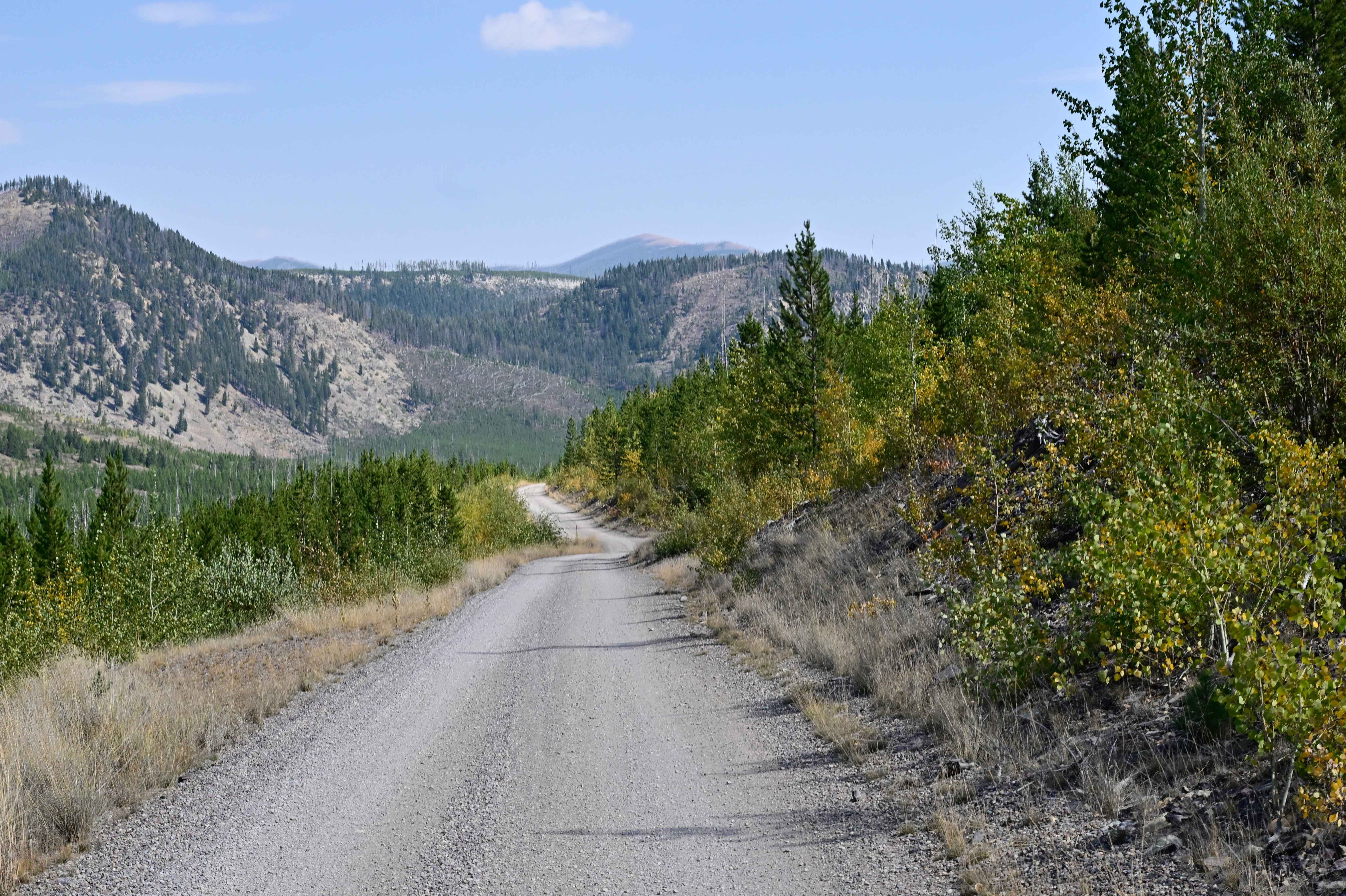
Trail Overview
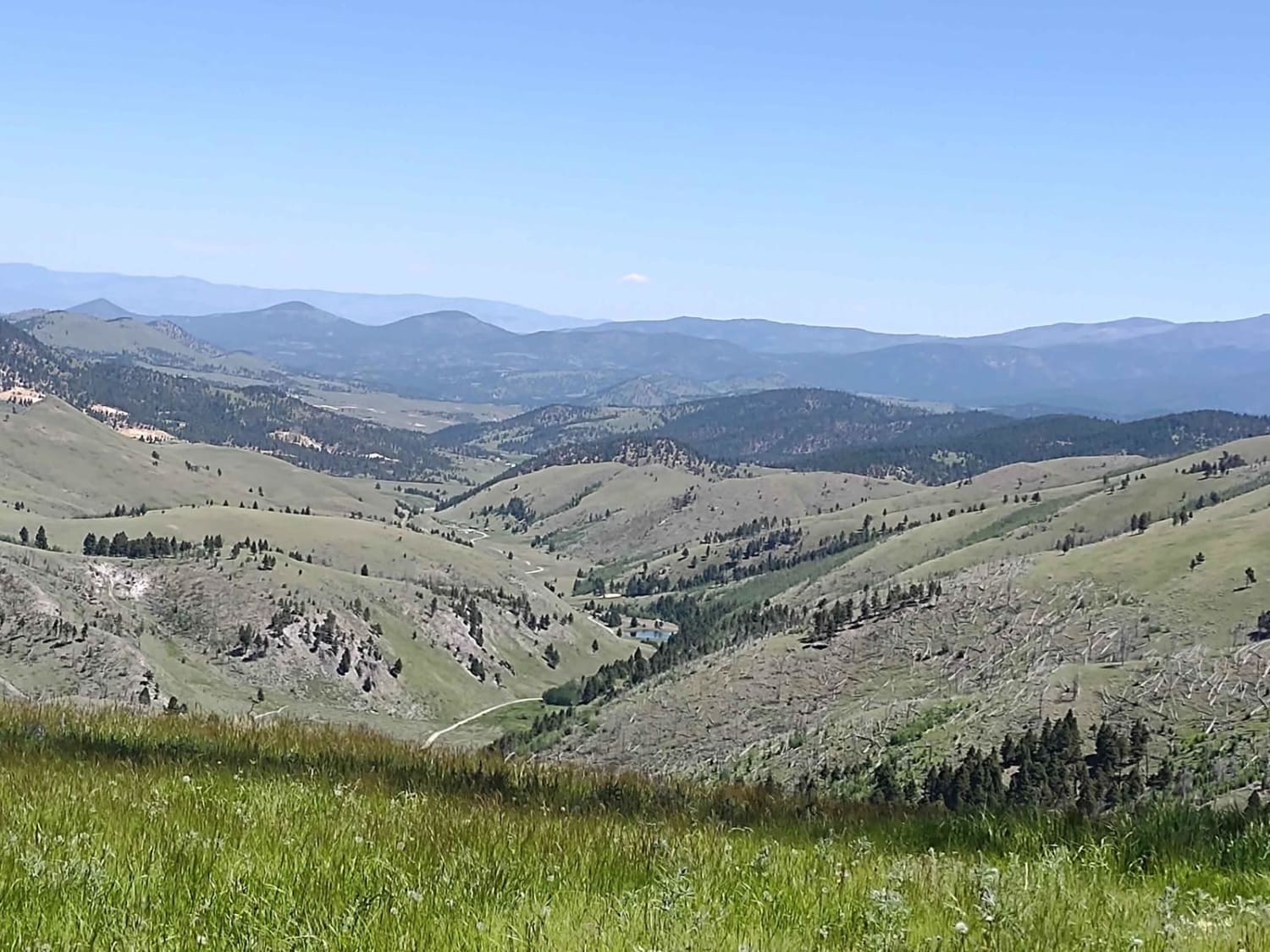
Upper Pierce Creek Trail is a bumpy but easy trail that climbs steadily to the Baker Lake hiking trail. The beginning has quite a few washboards, and although less frequent further up, washboards continue all the way to the end. There are some potholes along the way, though not in large numbers. The road is mostly one vehicle wide with a fair number of pullouts. Traffic can be fairly heavy at times, so watch for blind corners, sharp turns, and tight switchbacks, as there are quite a few. The surface is gravel with mild ruts and small rocks under three inches. Bushes grow along the sides of the trail, but not enough to cause pinstriping. About halfway up, there is a switchback with a giant rock that you can climb for excellent views of Trapper Creek, Trapper Peak, and the surrounding mountains. On the way back down, use engine braking to avoid overheating your brakes. The end of the trail has enough room to park a few vehicles and make for a pretty easy turnaround as well. This trail is open year-round, but deep snow will exist in the winter.
Photos of Upper Pierce Creek
Difficulty
This is an easy trail that is wide enough for the most part to pass oncoming vehicles, with either ample road width or pullouts. This trail is fairly bumpy, so airing down tires will smooth out the ride. There are lots of switchbacks on this trail. Some are fairly tight. Although bumpy, the rocks are small and are not an obstacle for any vehicle. Most vehicles should be able to make it up this trail. Snow will make this trail significantly more difficult.
Status Reports
Upper Pierce Creek can be accessed by the following ride types:
- High-Clearance 4x4
- SUV
- SxS (60")
- ATV (50")
- Dirt Bike
Upper Pierce Creek Map
Popular Trails
Treasure Mountain
Copper Creek Road - FS 330
Big Hole - Road 181
Clancy Creek Road
The onX Offroad Difference
onX Offroad combines trail photos, descriptions, difficulty ratings, width restrictions, seasonality, and more in a user-friendly interface. Available on all devices, with offline access and full compatibility with CarPlay and Android Auto. Discover what you’re missing today!