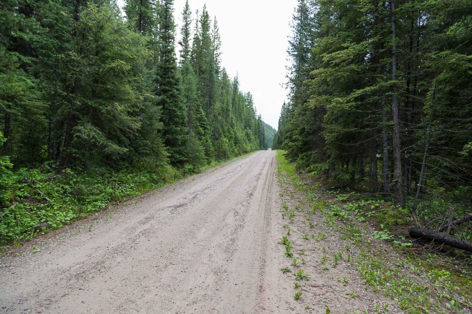
Off-Road Trails in Montana
Discover off-road trails in Montana
Learn more about McCabe Loop(Red Hills)
McCabe Loop(Red Hills)
Total Miles
4.1
Tech Rating
Easy
Best Time
Summer, Fall
Learn more about McCalla Switchbacks
McCalla Switchbacks
Total Miles
4.0
Tech Rating
Easy
Best Time
Summer, Fall
Learn more about McCalla to St.Mary's Connection
McCalla to St.Mary's Connection
Total Miles
3.0
Tech Rating
Easy
Best Time
Summer, Fall
Learn more about McCalla to St.Mary's Connection
McCalla to St.Mary's Connection
Total Miles
3.1
Tech Rating
Easy
Best Time
Summer, Fall
Learn more about McCart Tower to Swift Creek the Cutover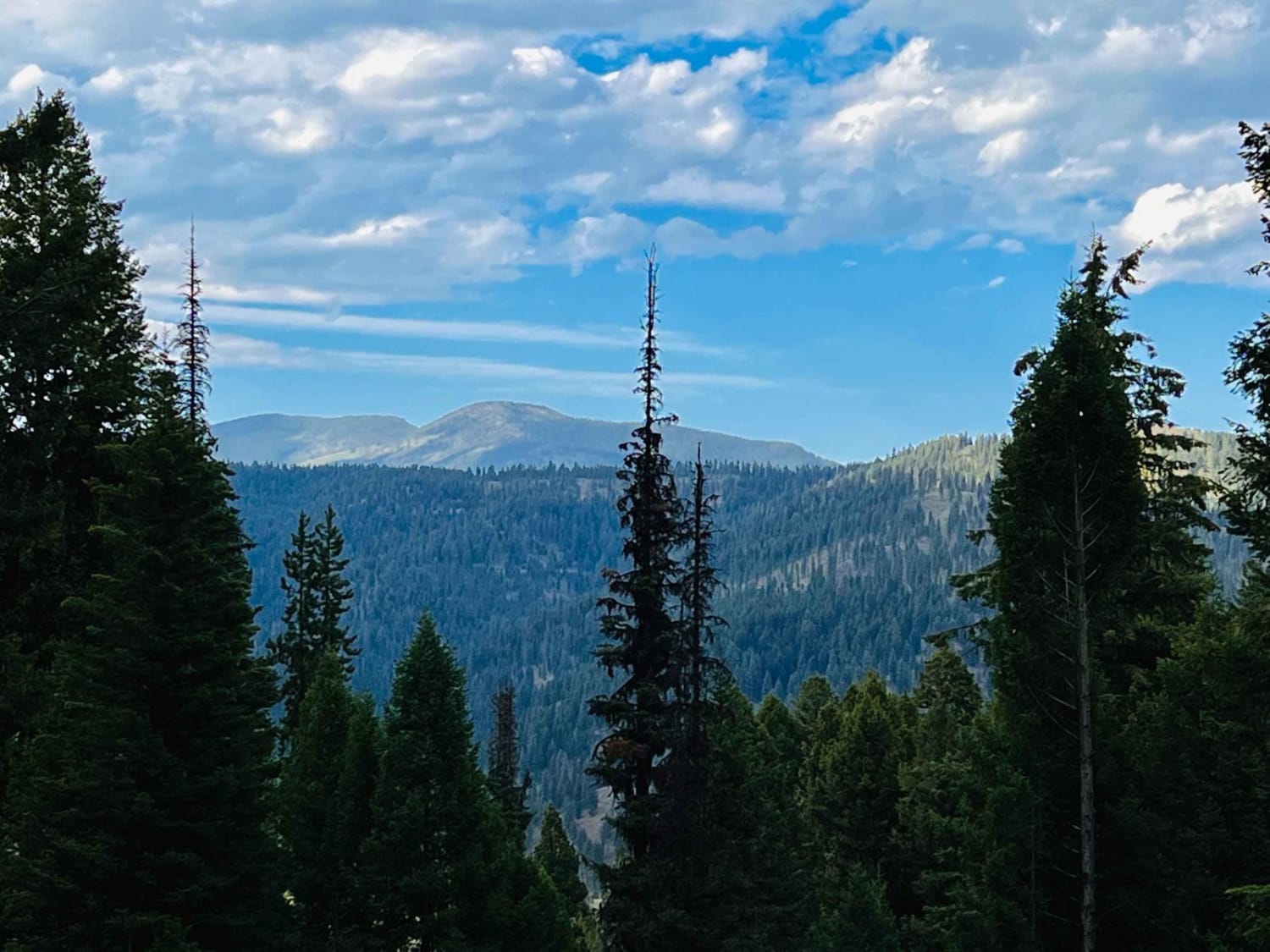
McCart Tower to Swift Creek the Cutover
Total Miles
6.1
Tech Rating
Easy
Best Time
Fall, Summer, Spring
Learn more about McCarty Creek Trail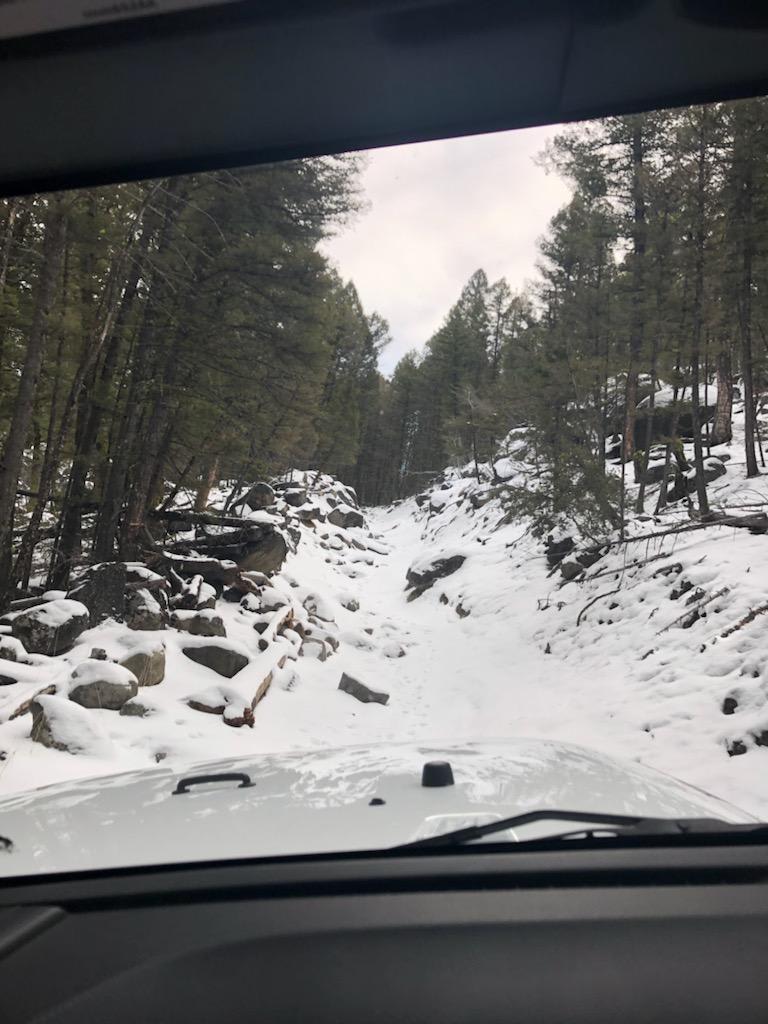
McCarty Creek Trail
Total Miles
10.4
Tech Rating
Moderate
Best Time
Spring, Summer, Fall, Winter
Learn more about McClain Creek Road (FS 1311)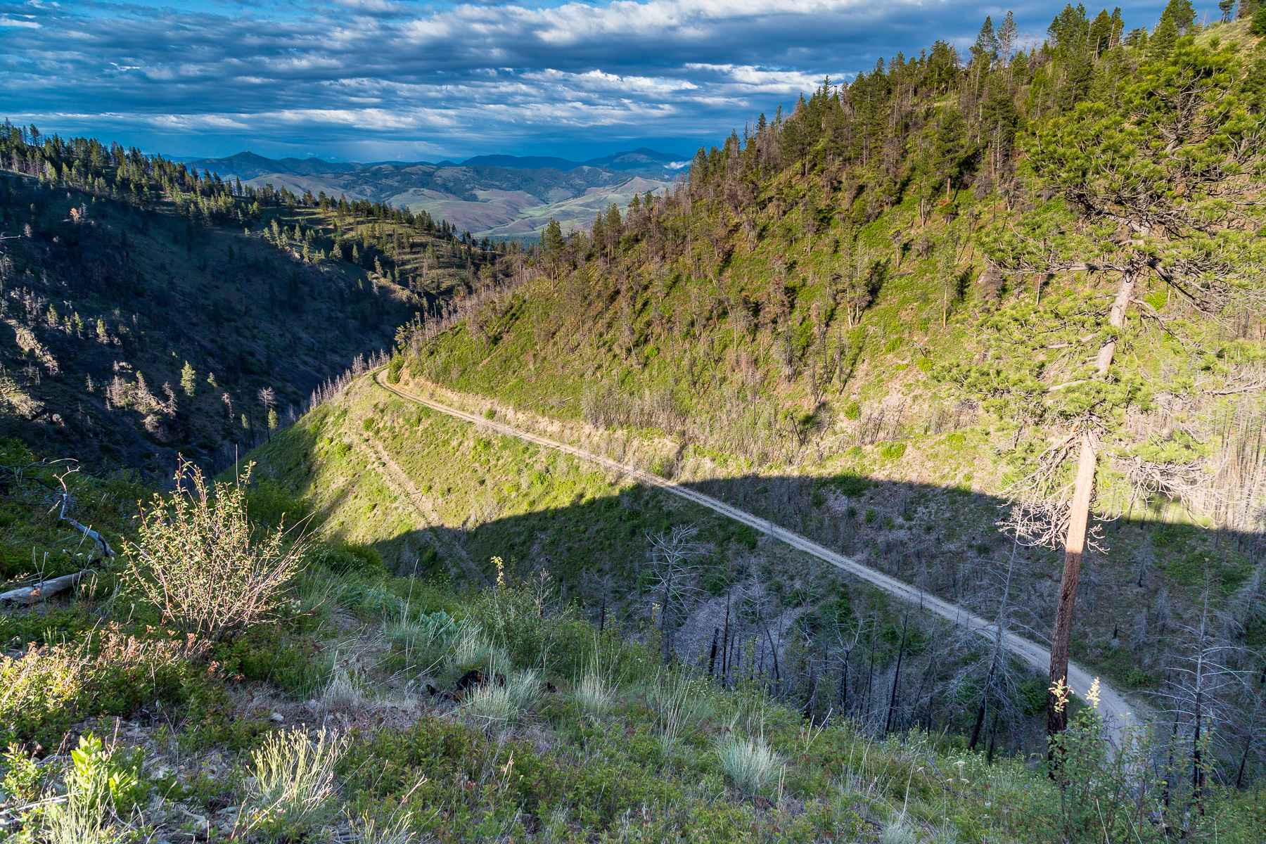
McClain Creek Road (FS 1311)
Total Miles
4.1
Tech Rating
Easy
Best Time
Summer, Fall
Learn more about Meadow Peak Lookout
Meadow Peak Lookout
Total Miles
8.4
Tech Rating
Easy
Best Time
Summer, Fall
Learn more about Medicine Point Trailhead
Medicine Point Trailhead
Total Miles
4.8
Tech Rating
Moderate
Best Time
Fall, Summer, Spring
Learn more about Meeteetse Trail
Meeteetse Trail
Total Miles
17.8
Tech Rating
Easy
Best Time
Spring, Summer, Fall
Learn more about Merrel Springs
Merrel Springs
Total Miles
0.8
Tech Rating
Easy
Best Time
Spring, Summer, Fall
Learn more about Micayune Gulch - FSR 1577
Micayune Gulch - FSR 1577
Total Miles
7.8
Tech Rating
Easy
Best Time
Spring, Summer, Fall
Learn more about Middle Ambrose
Middle Ambrose
Total Miles
3.3
Tech Rating
Easy
Best Time
Fall, Spring, Summer
Learn more about Middle Barber NF 9545
Middle Barber NF 9545
Total Miles
3.1
Tech Rating
Easy
Best Time
Fall, Summer, Spring
Learn more about Middle Cottonwood 
Middle Cottonwood
Total Miles
1.1
Tech Rating
Easy
Best Time
Summer, Fall
Learn more about Middle Fork Judith River
Middle Fork Judith River
Total Miles
10.5
Tech Rating
Moderate
Best Time
Summer, Fall
ATV trails in Montana
Learn more about $50,000 Silver Dollar Inn - FSR 288
$50,000 Silver Dollar Inn - FSR 288
Total Miles
7.5
Tech Rating
Easy
Best Time
Spring, Summer, Fall
Learn more about 2103 West Fork Gold Creek
2103 West Fork Gold Creek
Total Miles
5.7
Tech Rating
Easy
Best Time
Spring, Summer, Fall, Winter
Learn more about 4W-7736 - Big Flat Trail
4W-7736 - Big Flat Trail
Total Miles
3.6
Tech Rating
Easy
Best Time
Spring, Summer, Fall
Learn more about 4W-7829 - Mink Peak Jeep Trail
4W-7829 - Mink Peak Jeep Trail
Total Miles
4.4
Tech Rating
Easy
Best Time
Spring, Summer, Fall
UTV/side-by-side trails in Montana
Learn more about $50,000 Silver Dollar Inn - FSR 288
$50,000 Silver Dollar Inn - FSR 288
Total Miles
7.5
Tech Rating
Easy
Best Time
Spring, Summer, Fall
Learn more about 2103 West Fork Gold Creek
2103 West Fork Gold Creek
Total Miles
5.7
Tech Rating
Easy
Best Time
Spring, Summer, Fall, Winter
Learn more about 4W-7736 - Big Flat Trail
4W-7736 - Big Flat Trail
Total Miles
3.6
Tech Rating
Easy
Best Time
Spring, Summer, Fall
Learn more about 4W-7829 - Mink Peak Jeep Trail
4W-7829 - Mink Peak Jeep Trail
Total Miles
4.4
Tech Rating
Easy
Best Time
Spring, Summer, Fall
The onX Offroad Difference
onX Offroad combines trail photos, descriptions, difficulty ratings, width restrictions, seasonality, and more in a user-friendly interface. Available on all devices, with offline access and full compatibility with CarPlay and Android Auto. Discover what you’re missing today!