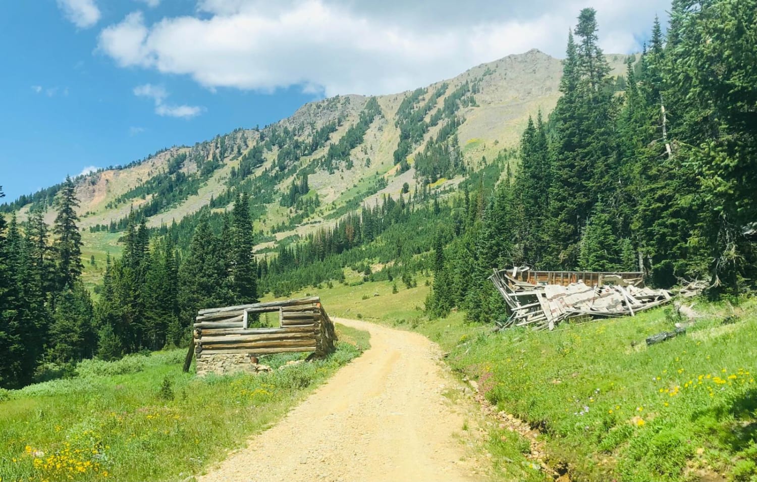
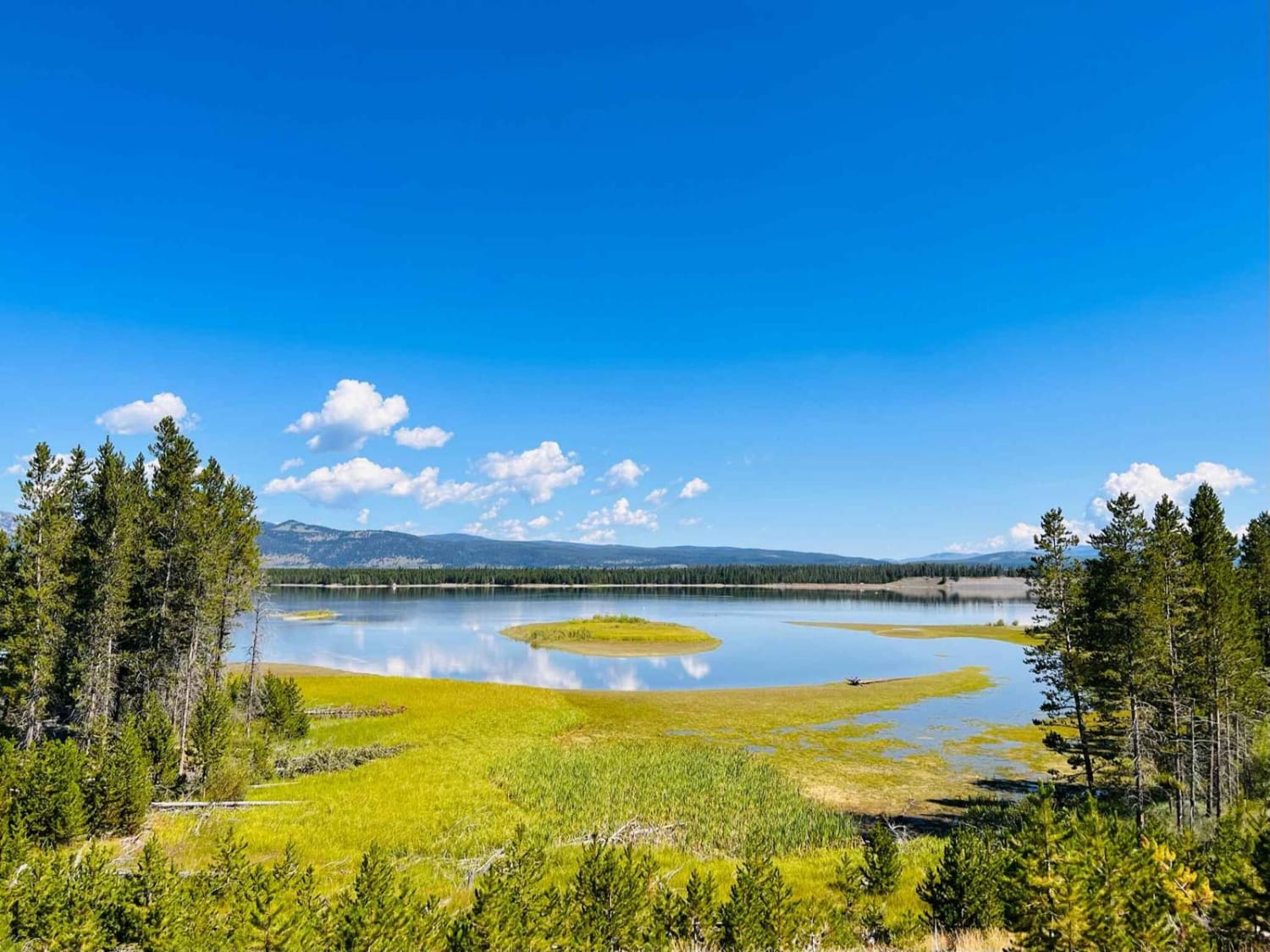
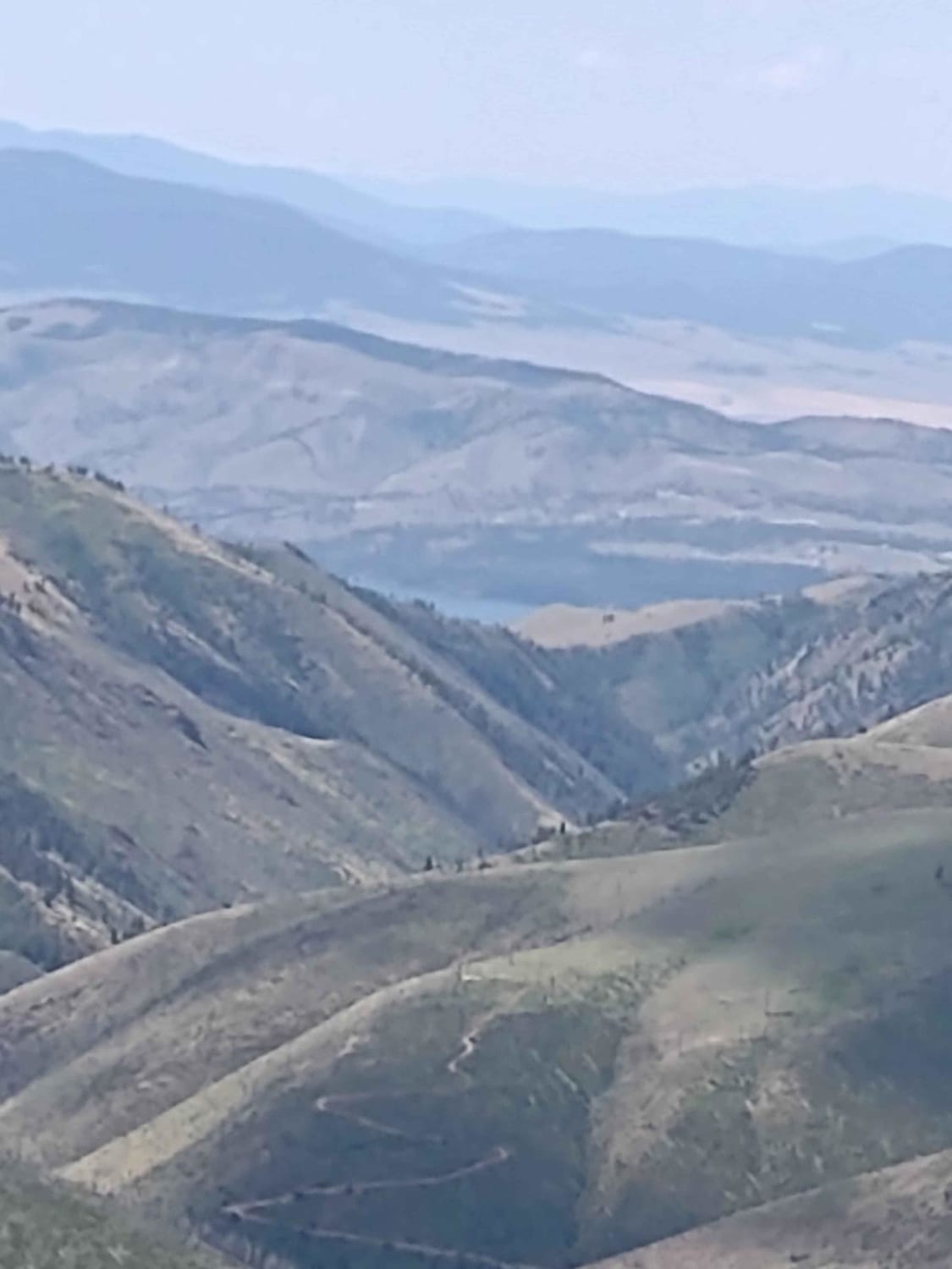
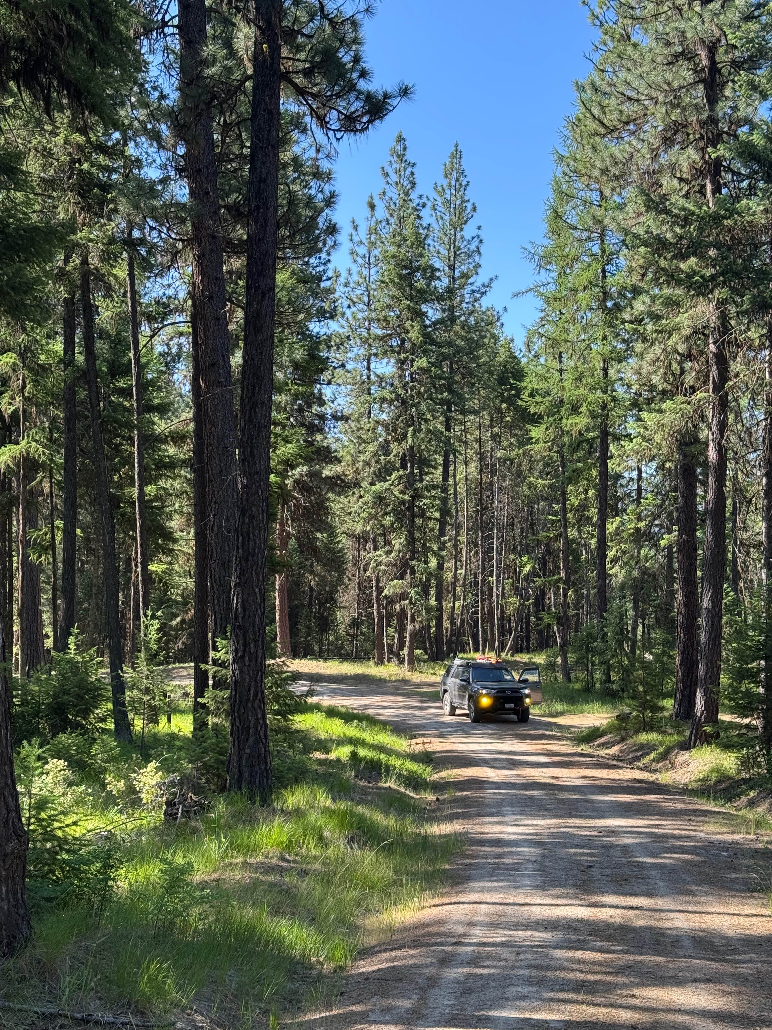
Off-Road Trails in Montana
Discover off-road trails in Montana
Learn more about Lower Clairmont 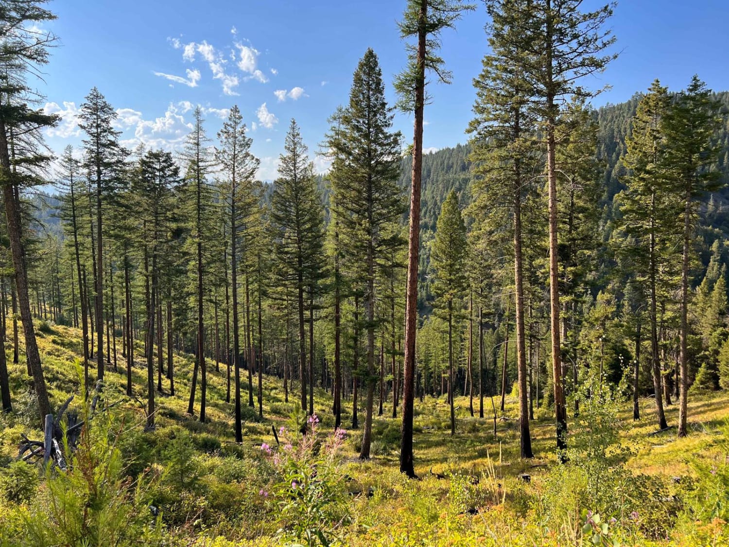
Lower Clairmont
Total Miles
5.6
Tech Rating
Moderate
Best Time
Fall, Summer, Spring
Learn more about Lower Lil Stanley Cr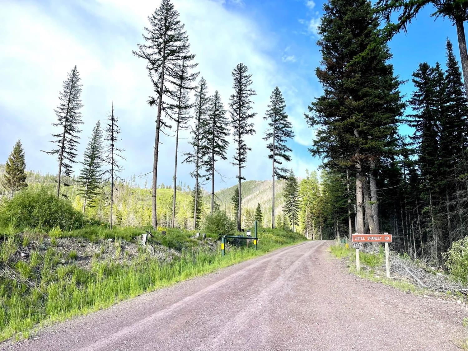
Lower Lil Stanley Cr
Total Miles
3.4
Tech Rating
Easy
Best Time
Summer, Fall
Learn more about Lower Little Blue Joint
Lower Little Blue Joint
Total Miles
0.8
Tech Rating
Easy
Best Time
Spring, Summer, Fall
Learn more about Lower Marten Creek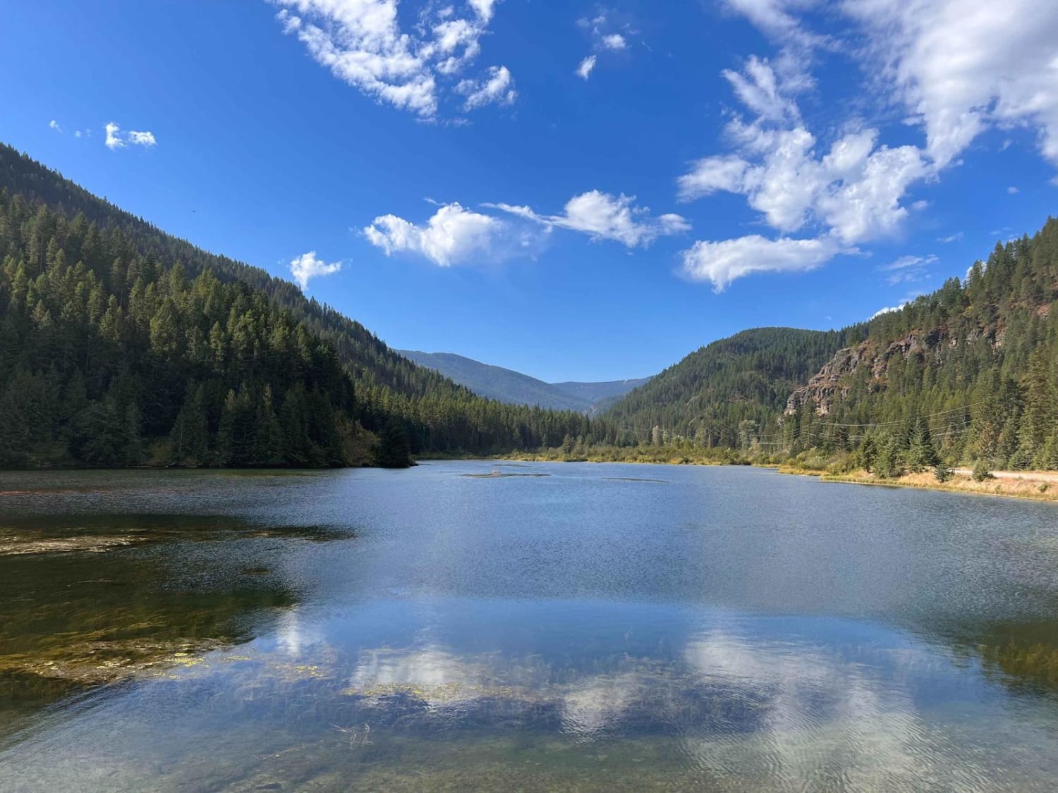
Lower Marten Creek
Total Miles
6.7
Tech Rating
Easy
Best Time
Fall, Summer, Spring
Learn more about Lower Parkside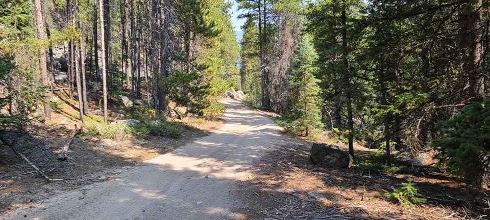
Lower Parkside
Total Miles
2.3
Tech Rating
Easy
Best Time
Summer, Spring, Fall
Learn more about Lower Pierce Creek
Lower Pierce Creek
Total Miles
2.3
Tech Rating
Easy
Best Time
Fall, Summer, Spring
Learn more about Lower Russian Youth Loop
Lower Russian Youth Loop
Total Miles
3.0
Tech Rating
Easy
Best Time
Summer, Fall
Learn more about Lower Smith Ridge
Lower Smith Ridge
Total Miles
1.7
Tech Rating
Easy
Best Time
Summer, Fall, Spring
Learn more about Lower Tough Bonnie Blue
Lower Tough Bonnie Blue
Total Miles
3.8
Tech Rating
Easy
Best Time
Spring, Summer, Fall
Learn more about Lower Willow St Clair
Lower Willow St Clair
Total Miles
4.2
Tech Rating
Easy
Best Time
Spring, Summer, Fall
Learn more about Magpie Creek to Avalanche Creek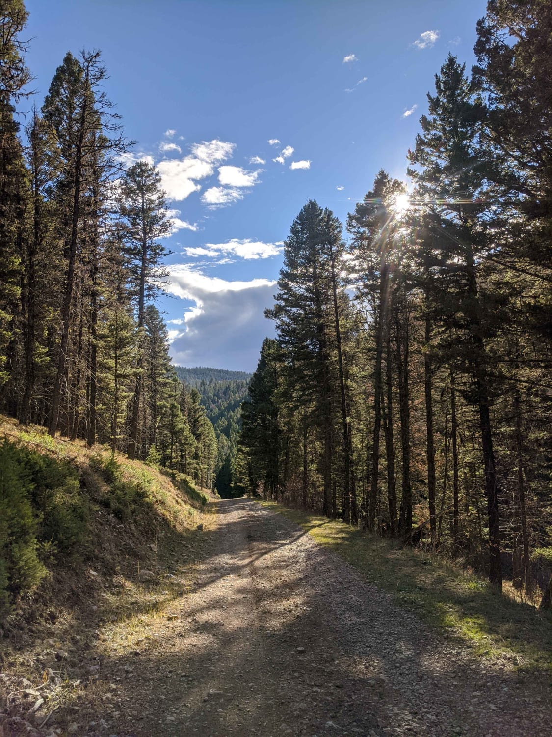
Magpie Creek to Avalanche Creek
Total Miles
27.9
Tech Rating
Moderate
Best Time
Summer, Fall
Learn more about Main Fork Rock Creek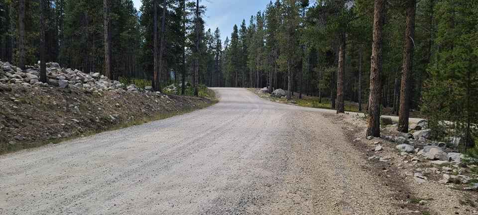
Main Fork Rock Creek
Total Miles
8.0
Tech Rating
Easy
Best Time
Summer

Learn more about Marshall Creek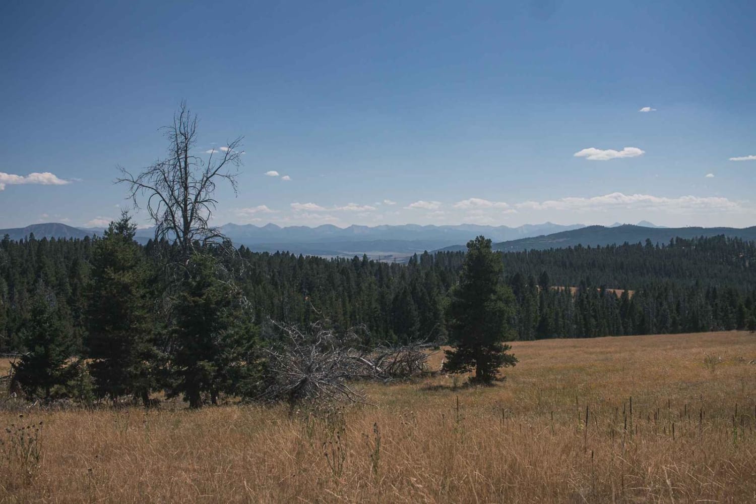
Marshall Creek
Total Miles
3.9
Tech Rating
Easy
Best Time
Spring, Summer, Fall
Learn more about Martin Creek to Chain of Lakes Trail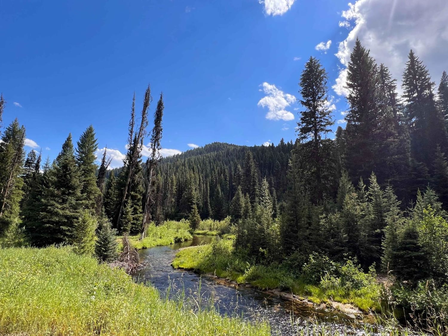
Martin Creek to Chain of Lakes Trail
Total Miles
4.3
Tech Rating
Easy
Best Time
Fall, Summer, Spring
ATV trails in Montana
Learn more about $50,000 Silver Dollar Inn - FSR 288
$50,000 Silver Dollar Inn - FSR 288
Total Miles
7.5
Tech Rating
Easy
Best Time
Spring, Summer, Fall
Learn more about 2103 West Fork Gold Creek
2103 West Fork Gold Creek
Total Miles
5.7
Tech Rating
Easy
Best Time
Spring, Summer, Fall, Winter
Learn more about 4W-7736 - Big Flat Trail
4W-7736 - Big Flat Trail
Total Miles
3.6
Tech Rating
Easy
Best Time
Spring, Summer, Fall
Learn more about 4W-7829 - Mink Peak Jeep Trail
4W-7829 - Mink Peak Jeep Trail
Total Miles
4.4
Tech Rating
Easy
Best Time
Spring, Summer, Fall
UTV/side-by-side trails in Montana
Learn more about $50,000 Silver Dollar Inn - FSR 288
$50,000 Silver Dollar Inn - FSR 288
Total Miles
7.5
Tech Rating
Easy
Best Time
Spring, Summer, Fall
Learn more about 2103 West Fork Gold Creek
2103 West Fork Gold Creek
Total Miles
5.7
Tech Rating
Easy
Best Time
Spring, Summer, Fall, Winter
Learn more about 4W-7736 - Big Flat Trail
4W-7736 - Big Flat Trail
Total Miles
3.6
Tech Rating
Easy
Best Time
Spring, Summer, Fall
Learn more about 4W-7829 - Mink Peak Jeep Trail
4W-7829 - Mink Peak Jeep Trail
Total Miles
4.4
Tech Rating
Easy
Best Time
Spring, Summer, Fall
The onX Offroad Difference
onX Offroad combines trail photos, descriptions, difficulty ratings, width restrictions, seasonality, and more in a user-friendly interface. Available on all devices, with offline access and full compatibility with CarPlay and Android Auto. Discover what you’re missing today!