Lower Lil Stanley Cr
Total Miles
3.4
Technical Rating
Best Time
Summer, Fall
Trail Type
Full-Width Road
Accessible By
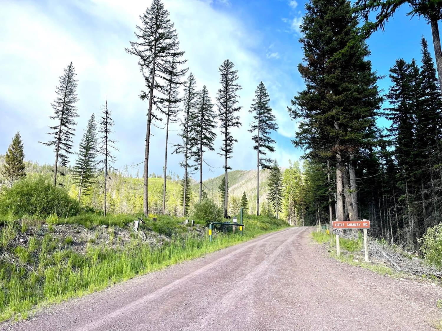
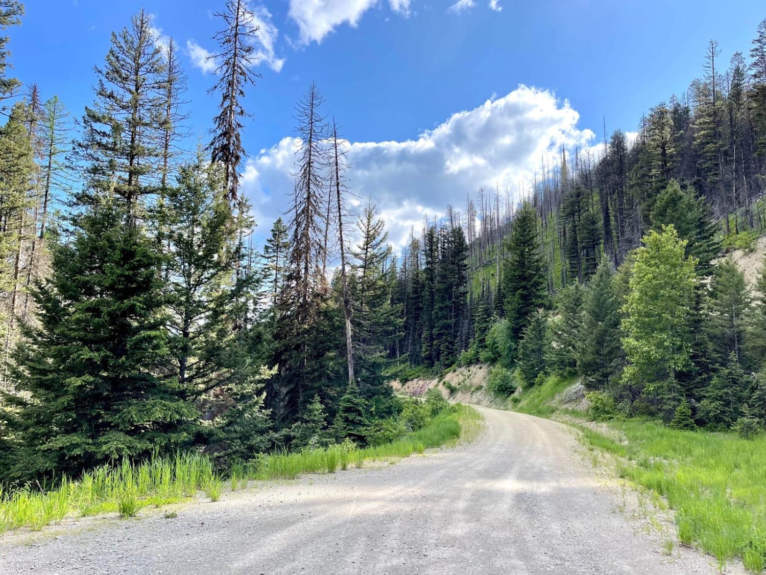
Trail Overview
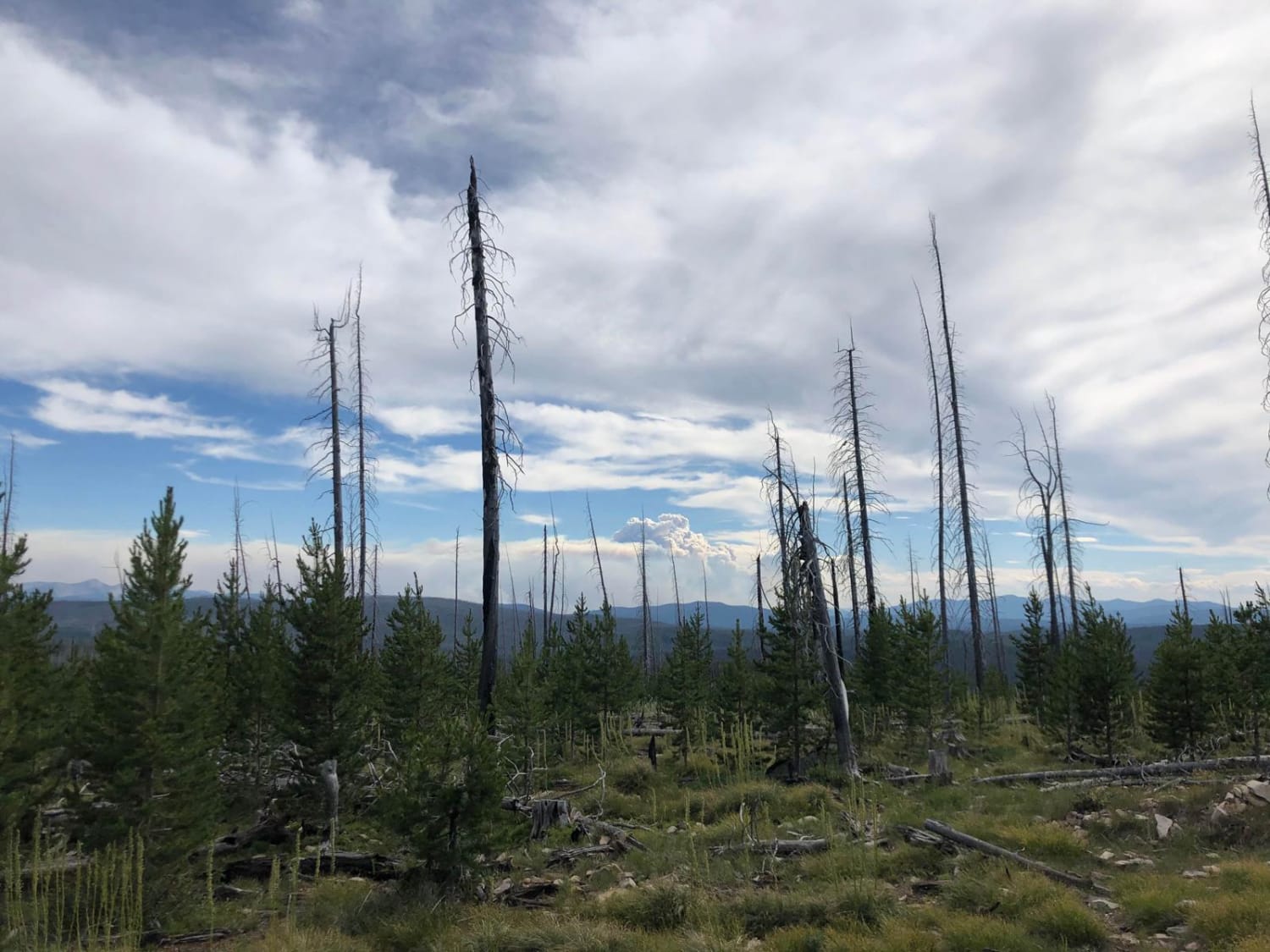
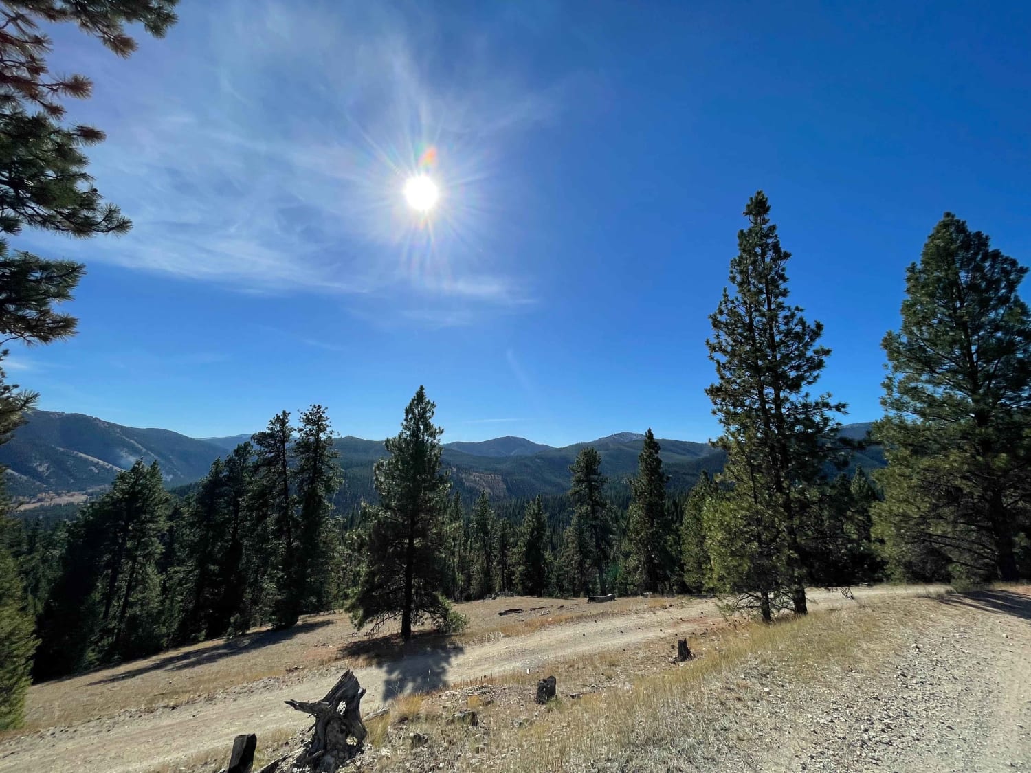
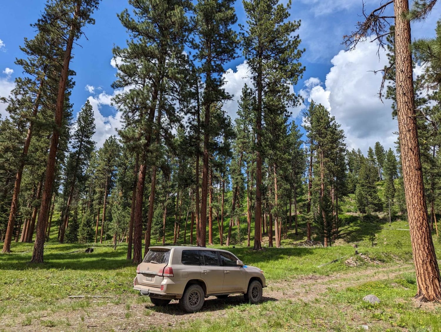
This lower section of Lil Stanley Creek is purely an access route. It sees a fair amount of deadfall, so be ready to clear trees if you plan to run it. A lower offshoot leads to an old rock Quarry that is very visible via satellite and would make for an excellent spot to do some target shooting or set up for camp for the evening. There isn't any cell service back here, so plan ahead and download offline maps. The trail itself is a friendly narrow grader with potholes here and there. Springtime provides a lot of wildflowers, and the thinned forest here and there give superb views of the hills above and the valley below.
Photos of Lower Lil Stanley Cr
Difficulty
The trial is narrow, and there are some spots to pull off to allow for oncoming to pass, but it's overall narrow with some tighter switchbacks.
Status Reports
Lower Lil Stanley Cr can be accessed by the following ride types:
- High-Clearance 4x4
- SUV
- SxS (60")
- ATV (50")
- Dirt Bike
Lower Lil Stanley Cr Map
Popular Trails
Mink Creek to Highway 43

Coal Creek to Blue Joint
Gold Creek Trail 126 (Seasonal Access)
The onX Offroad Difference
onX Offroad combines trail photos, descriptions, difficulty ratings, width restrictions, seasonality, and more in a user-friendly interface. Available on all devices, with offline access and full compatibility with CarPlay and Android Auto. Discover what you’re missing today!