Mink Creek to Highway 43
Total Miles
32.0
Technical Rating
Best Time
Summer, Fall
Trail Type
Full-Width Road
Accessible By
Trail Overview
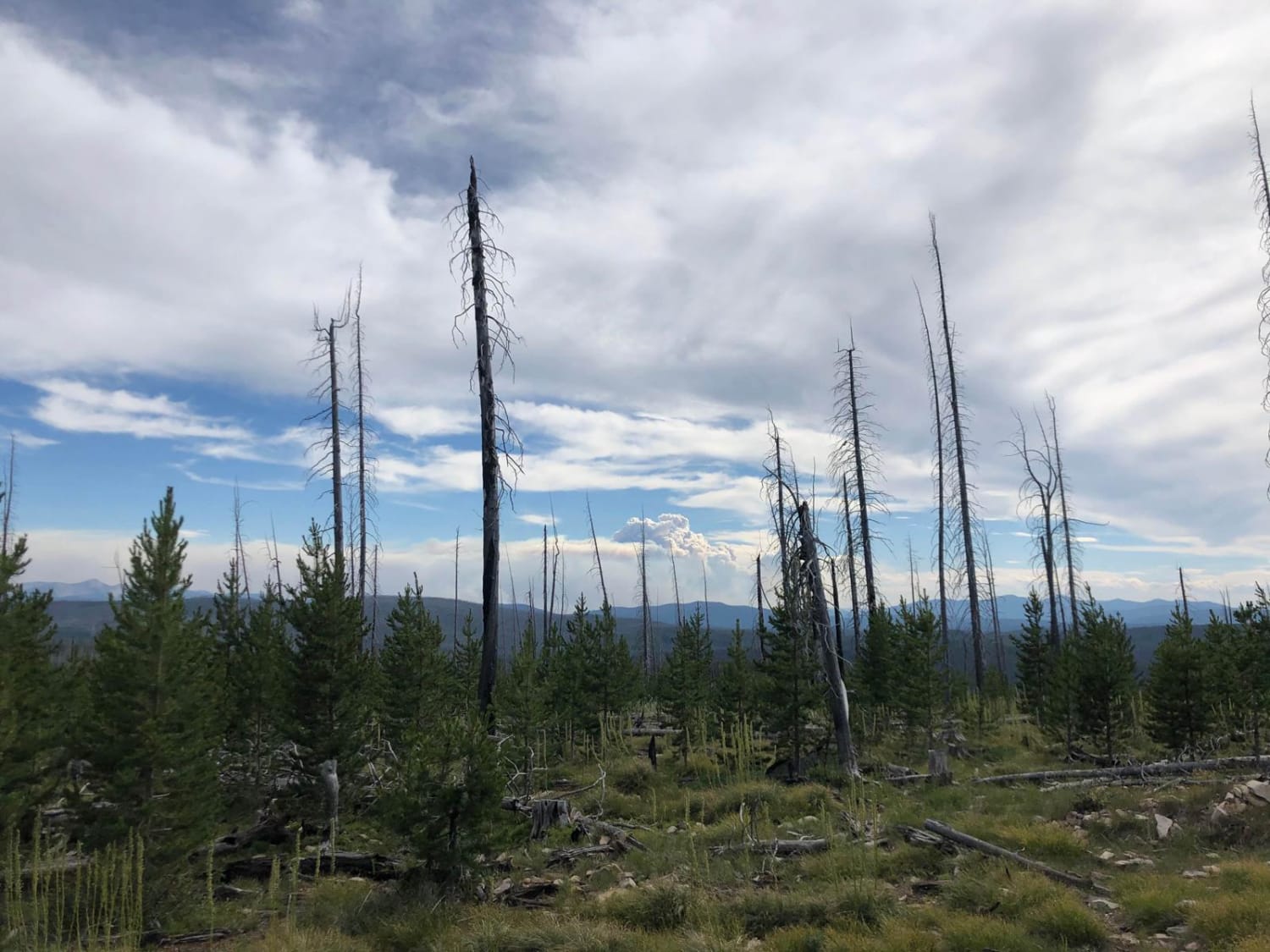
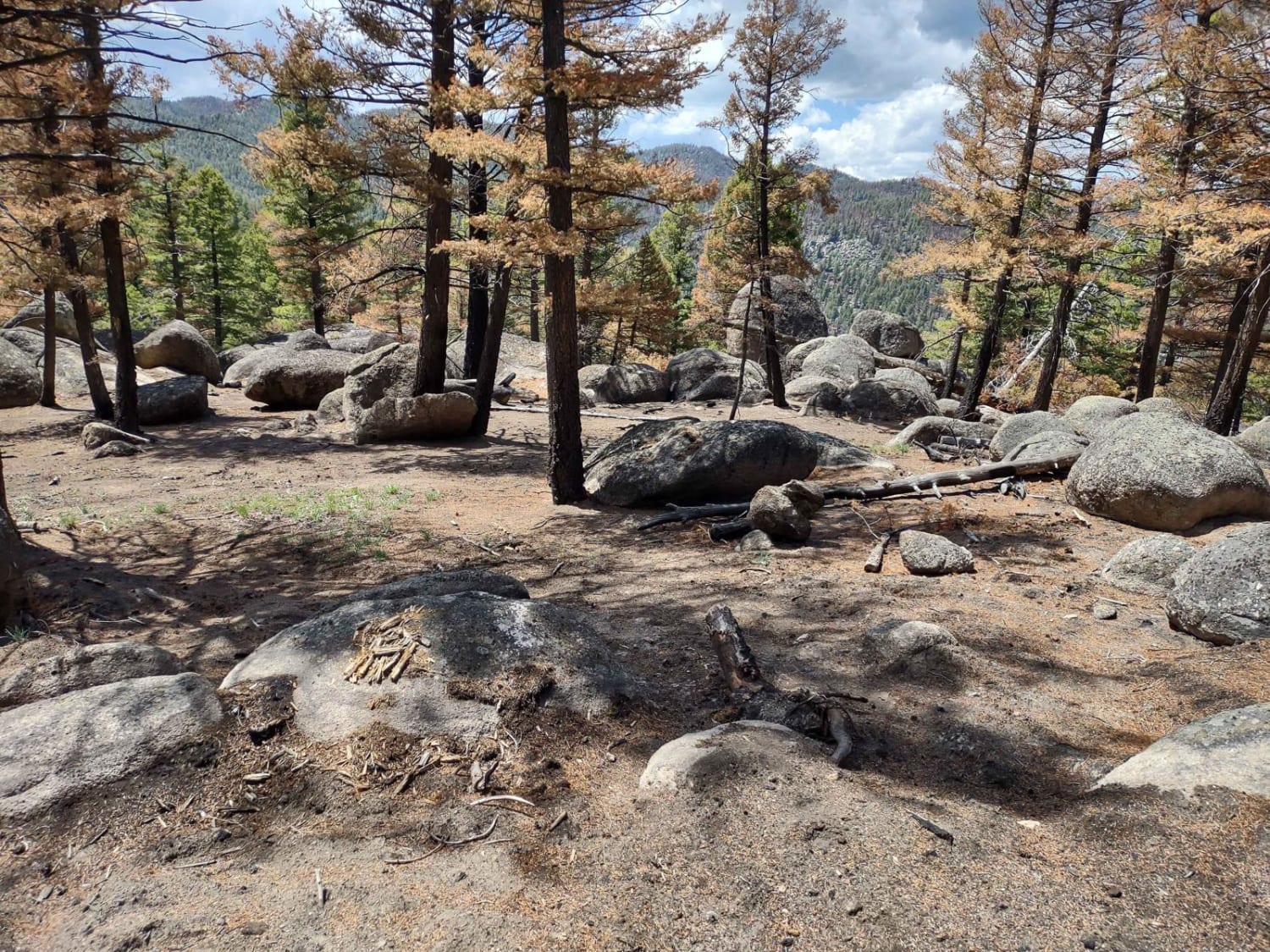
Mink Creek to Highway 43 is a Forest Service road that takes you from East Fork Road and ends at Highway 43, just a couple of miles west of the Big Hole Battle Field. This road is well-maintained and very easy to drive or ride. The surface of the road consists mostly of packed dirt/gravel and has a few sections that are more sandy and loose. This road is an excellent SxS, four-wheeler, 4x4, or dirt bike road. Make sure to have enough fuel to either make a loop to Lost Trail Pass and back to East Fork Road or to ride this road back the way you came. There are a few trail intersections that can get confusing, so consulting the map is helpful. There is a bridge crossing a creek about 20 miles into the ride. That creek is filled with little fish--take a fishing pole for a nice mid-way break. There are lots of animals seen along this road including deer, moose, frogs, snakes, and fish. This road seems to be lightly traveled.
Photos of Mink Creek to Highway 43
Difficulty
This is a gentle grade Forest Service road with small rocks but no obstructions. It is 2 vehicles wide almost the entire time with plenty of pull-outs.
Status Reports
Mink Creek to Highway 43 can be accessed by the following ride types:
- High-Clearance 4x4
- SUV
- SxS (60")
- ATV (50")
- Dirt Bike
Mink Creek to Highway 43 Map
Popular Trails

Tamarack Creek - FS 284

Little Boulder Side Trail

Bridger Mountains
Boulder Alley
The onX Offroad Difference
onX Offroad combines trail photos, descriptions, difficulty ratings, width restrictions, seasonality, and more in a user-friendly interface. Available on all devices, with offline access and full compatibility with CarPlay and Android Auto. Discover what you’re missing today!