Main Fork Rock Creek
Total Miles
8.0
Technical Rating
Best Time
Summer
Trail Type
Full-Width Road
Accessible By
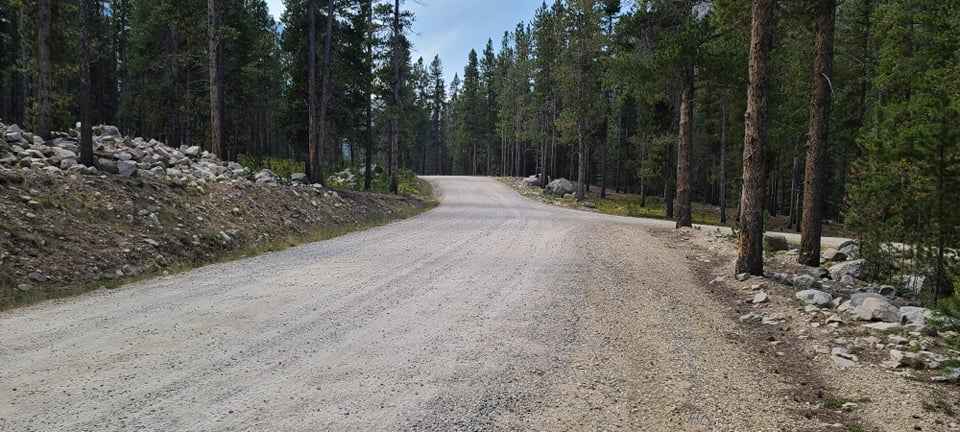
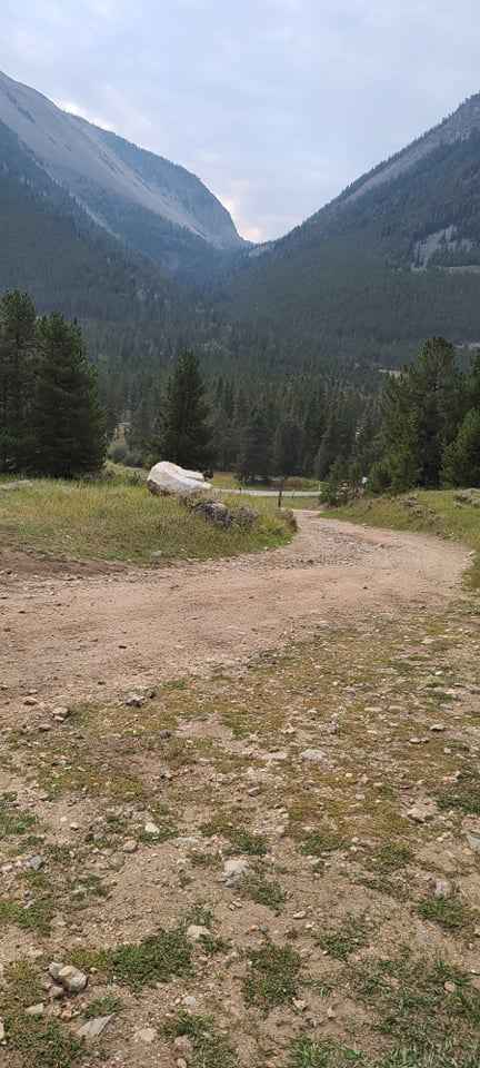
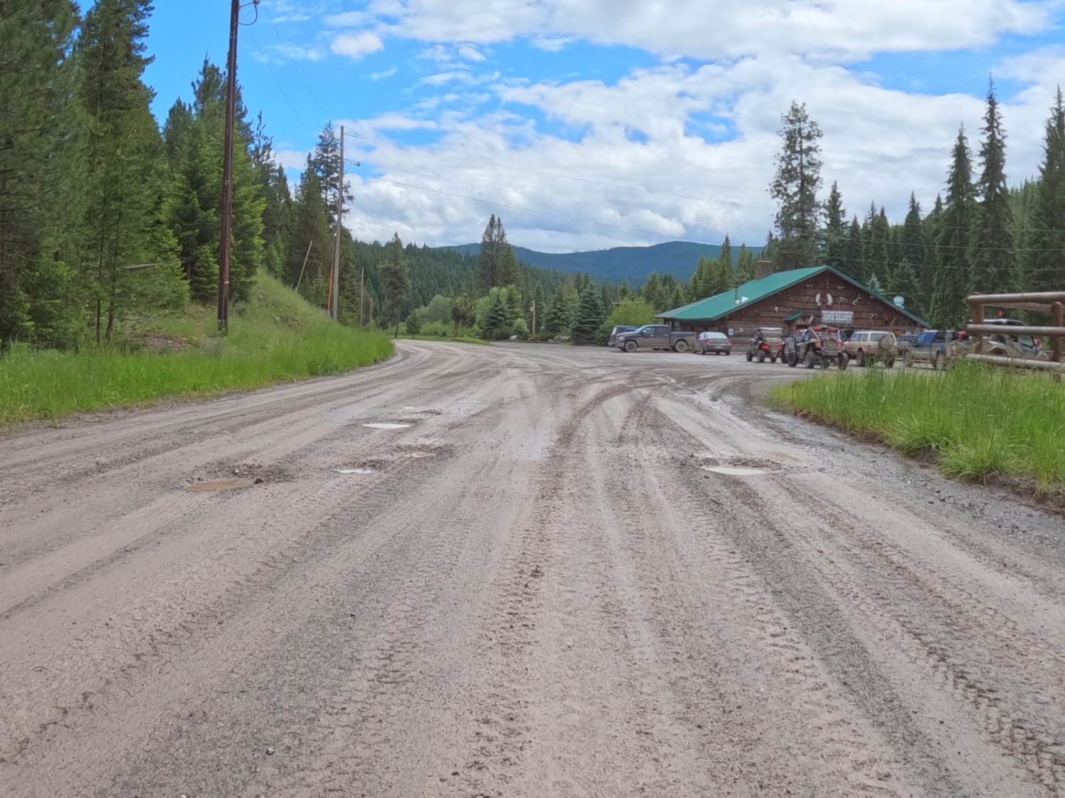
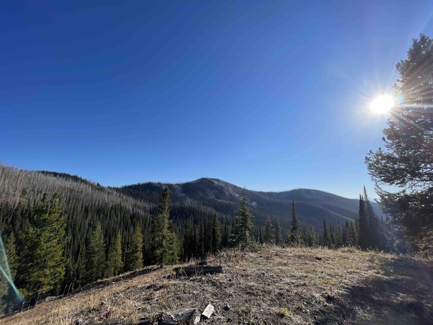
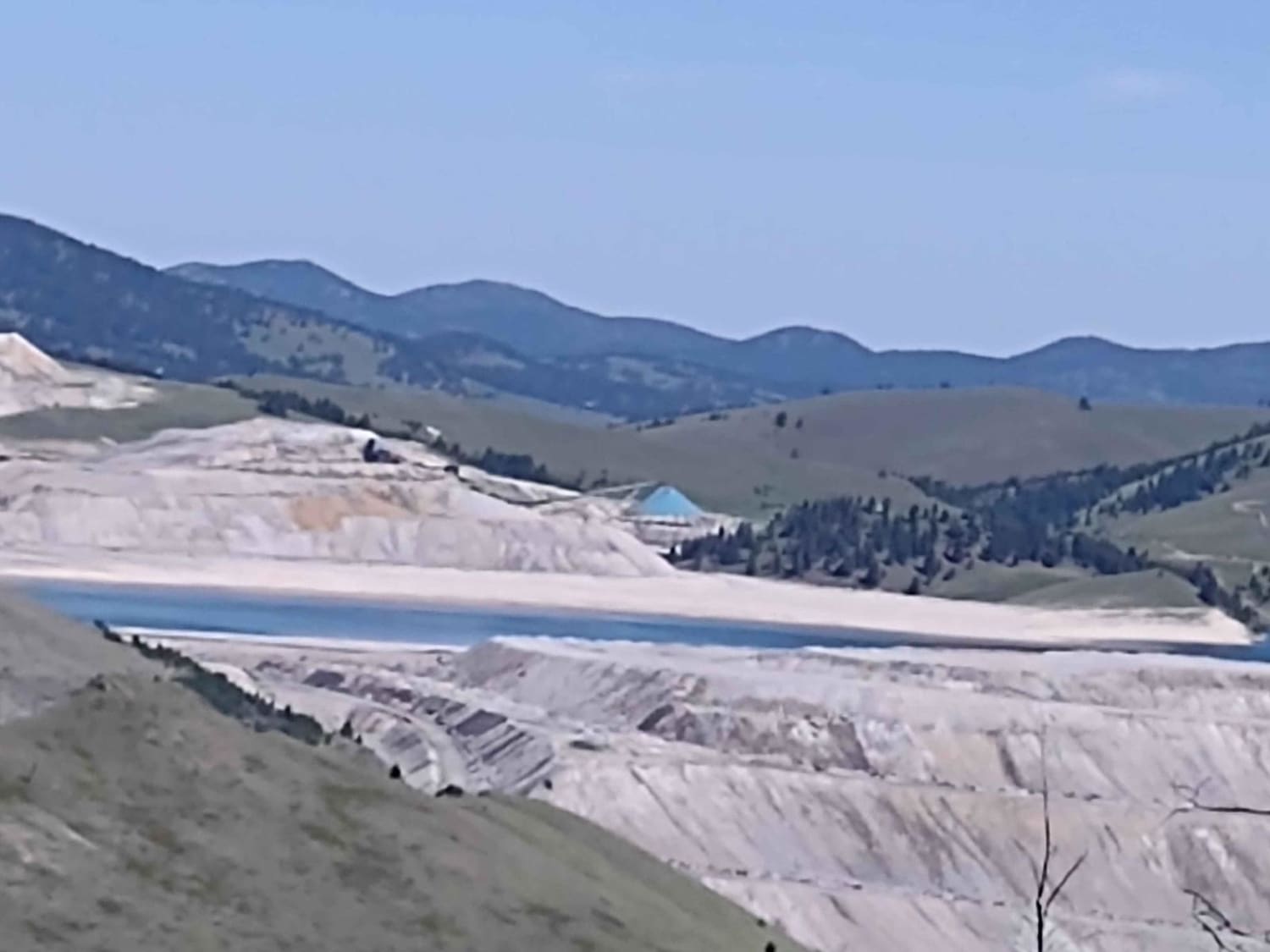
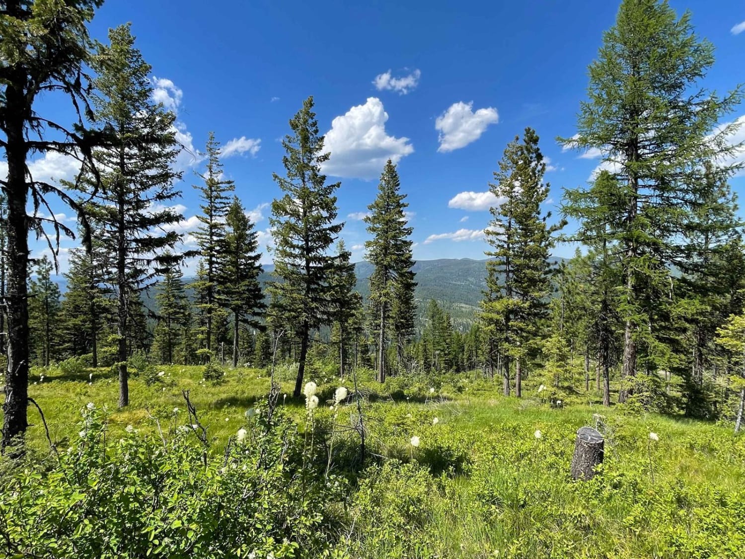
Trail Overview
This trail runs along Rock Creek and has some amazing views. Some spots have lose rocks but most of it is packed dirt. There are great spots to stop along the way down by the creek so you can go fly fishing or just relax a little and have lunch. You could get to the end of the trail with most off road style campers.
Photos of Main Fork Rock Creek
Difficulty
Hills with lose rocks not very steep
Status Reports
Main Fork Rock Creek can be accessed by the following ride types:
- High-Clearance 4x4
- SUV
- SxS (60")
- ATV (50")
- Dirt Bike
Main Fork Rock Creek Map
Popular Trails
Quartz Creek Road-The Jack Saloon
Head Of St. Clair
Mina Gulch Spur
Lolo Springs Lookout
The onX Offroad Difference
onX Offroad combines trail photos, descriptions, difficulty ratings, width restrictions, seasonality, and more in a user-friendly interface. Available on all devices, with offline access and full compatibility with CarPlay and Android Auto. Discover what you’re missing today!