Guide Rye
Total Miles
15.3
Technical Rating
Best Time
Spring, Summer, Fall
Trail Type
Full-Width Road
Accessible By
Trail Overview
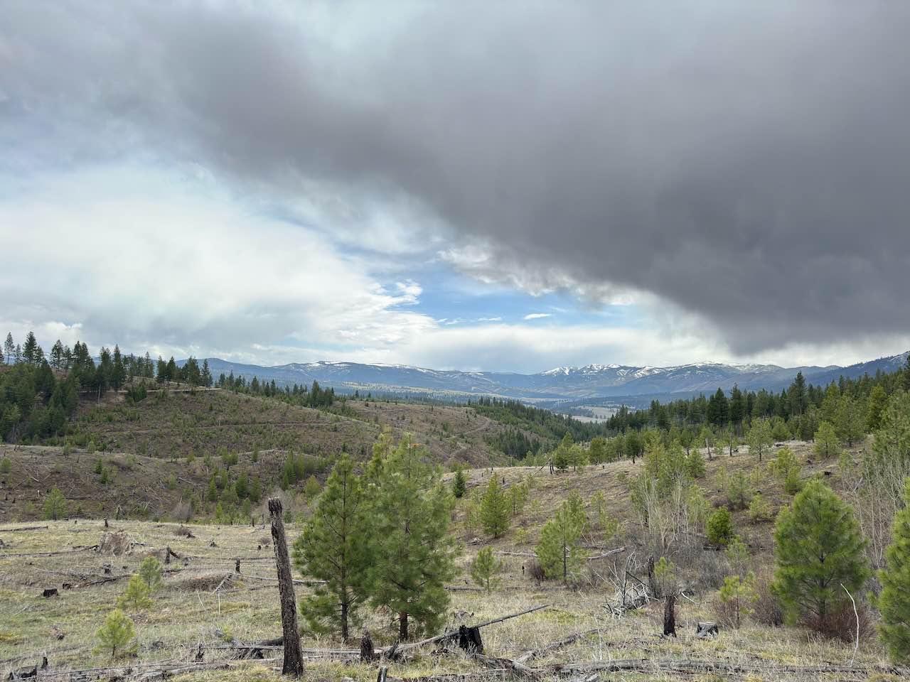
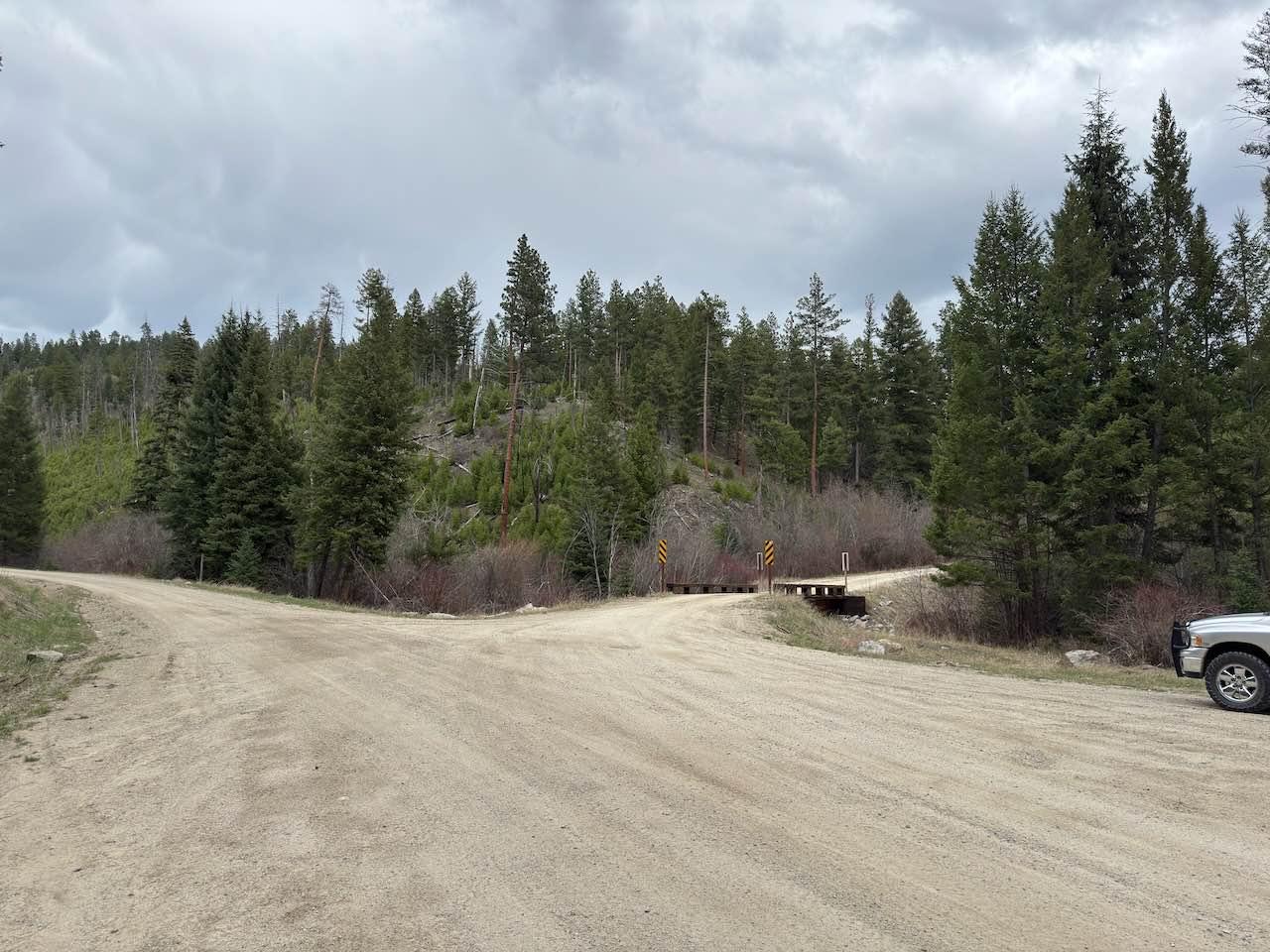
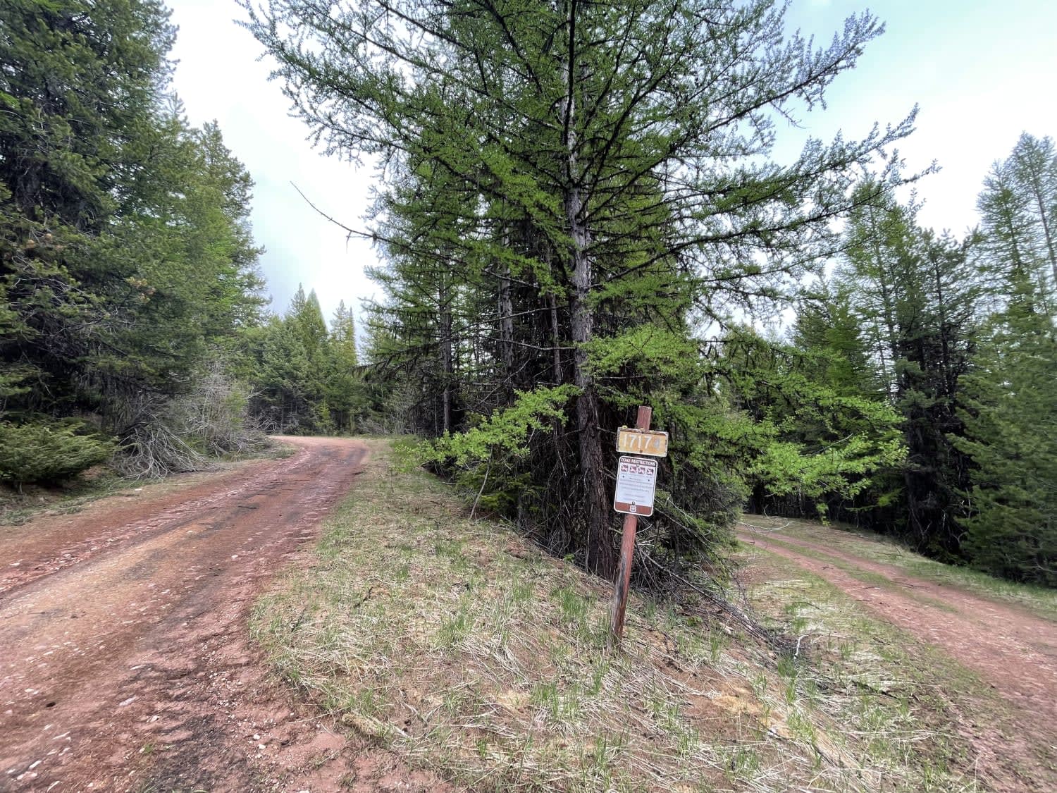
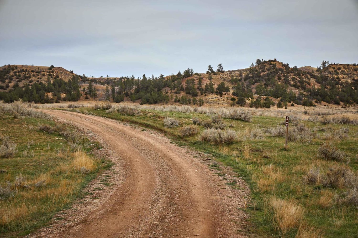
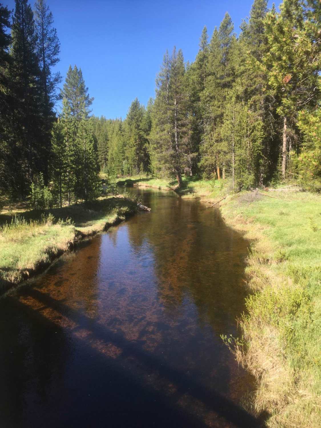
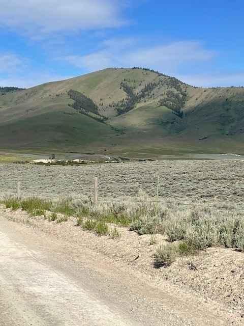
Guide Rye Trail is a trail that runs from Rye Creek Road, just south of Darby, Montana, to East Fork Road, just east of Sula, MT. This is an easy trail that is about 15 miles long. When starting at the trail's north end, about 600 yards in, you'll notice that the trail no longer follows its original route. The Forest Service blocked off and removed a 1.5-mile section of the trail and rerouted it using another trail. Following the green-highlighted trail on OnX will guide you to the correct route. The first mile from the north end is pretty steep and includes several rubber water diversions, so if you're riding on two wheels, use caution. This is a popular area, so don't be surprised if you encounter a few oncoming vehicles along the way. At mile 1 from the north end, there is a fork. You'll want to take the left fork to continue on the trail. At mile 2.5, there is a Y-intersection where you will take the right fork to remain on the trail. Otherwise, the trail is straightforward. The trail conditions change continuously as you go, so expect to see potholes, ruts, small rocks, and mud depending on the weather. At the same time, the trail is mostly wide enough for two full-size vehicles, but some short sections narrow to a single full-size vehicle with little room for passing. Be aware of blind turns along the trail, as there are many of them, and watch for oncoming traffic. There are a few spots to stop and get a good view of the surrounding mountains.
Photos of Guide Rye
Difficulty
Although there are quite a few potholes, some ruts, and some small rocks, nothing is very big, and nearly all vehicles should be able to maneuver through them. The trail can be muddy after a rain or snowmelt, but will be pretty firm otherwise.
Status Reports
Guide Rye can be accessed by the following ride types:
- High-Clearance 4x4
- SUV
- SxS (60")
- ATV (50")
- Dirt Bike
Guide Rye Map
Popular Trails
Secondary Road A
Reanus Cone Trail Part 2
Sand Basin Road
Niarada to Irvine Flats
The onX Offroad Difference
onX Offroad combines trail photos, descriptions, difficulty ratings, width restrictions, seasonality, and more in a user-friendly interface. Available on all devices, with offline access and full compatibility with CarPlay and Android Auto. Discover what you’re missing today!