Sand Basin Road
Total Miles
7.6
Technical Rating
Best Time
Spring, Summer, Fall
Trail Type
Full-Width Road
Accessible By
Trail Overview
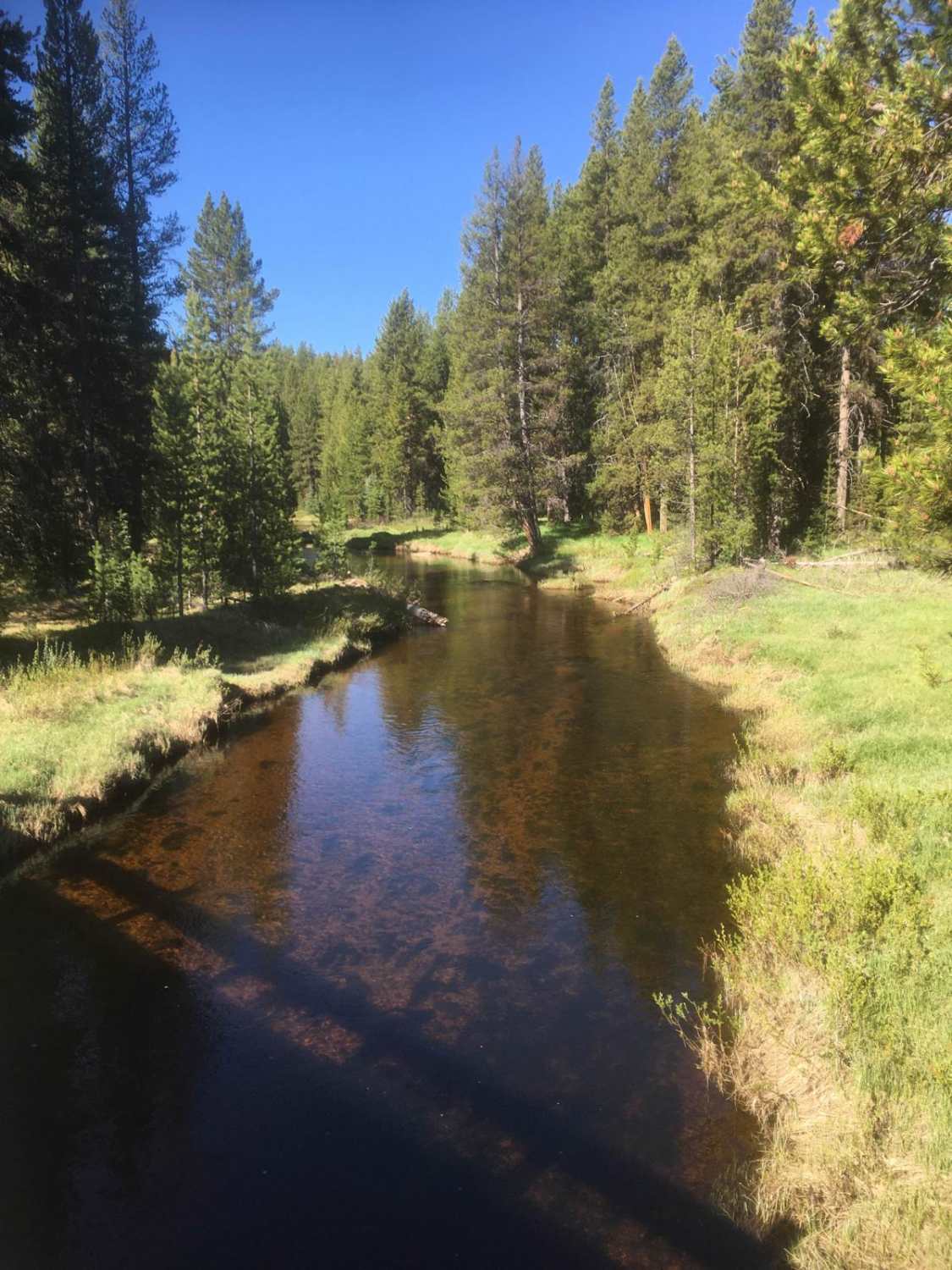
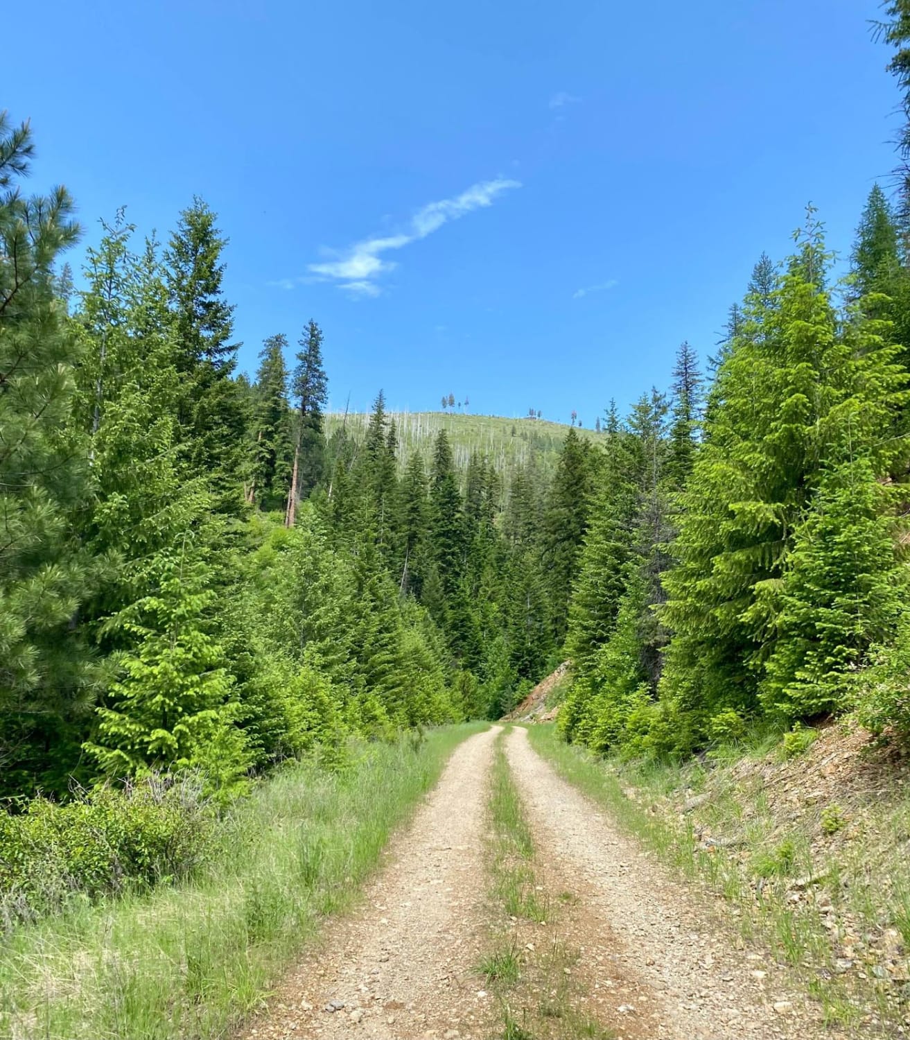
The Sand Basin Road, FS 5070, travels along the east side of Sand Basin from the Skalkaho Road to the Sapphire Divide at the southern limits of Sand Basin in the Skalkaho Mountain Range in Montana. The road is a good-quality, graveled, one-lane 7.6-mile road with many pull-outs for passing oncoming traffic. The road is quite remote and you are unlikely to encounter any oncoming traffic on weekdays. The road travels through dense stands of lodgepole pine, alternating with idyllic scenic streams and meadows. A leisurely trip on this road is virtually guaranteed to calm your shattered nerves as you take in a peaceful and isolated experience. Visitors are reminded that traveling off designated routes on National Forest lands is strictly illegal and can earn a substantial fine.
Photos of Sand Basin Road

Difficulty
This is a good quality gravel road and presents no technical difficulties.
History
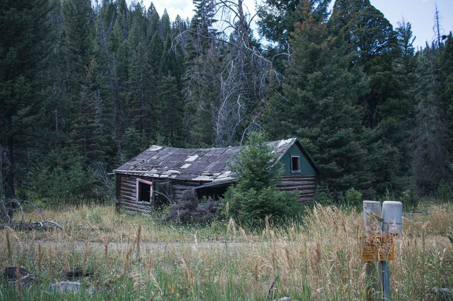
The Skalkaho Road was originally a trail used by native indians for trade and hunting. There is little doubt that the Sand Basin was a favored summer hunting area for native tribes because of the abundant wild game in the area. Early miners explored the area for placer gold without success (old test diggings are still observable in some places), and loggers have long been active in the Basin.
Status Reports
Sand Basin Road can be accessed by the following ride types:
- High-Clearance 4x4
- SUV
- SxS (60")
- ATV (50")
- Dirt Bike
Sand Basin Road Map
Popular Trails
Verde Creek Road-Sunrise Road-Quartz Road

Hidden Lake Divide #66
North Hills Recreation Area
The onX Offroad Difference
onX Offroad combines trail photos, descriptions, difficulty ratings, width restrictions, seasonality, and more in a user-friendly interface. Available on all devices, with offline access and full compatibility with CarPlay and Android Auto. Discover what you’re missing today!