Old Coal Creek Dead End
Total Miles
0.7
Technical Rating
Best Time
Fall, Summer, Spring
Trail Type
Full-Width Road
Accessible By
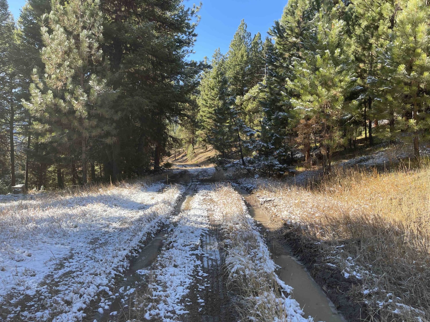
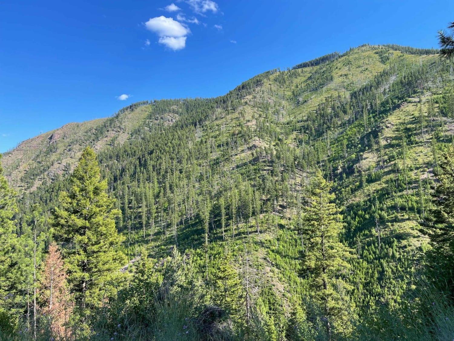
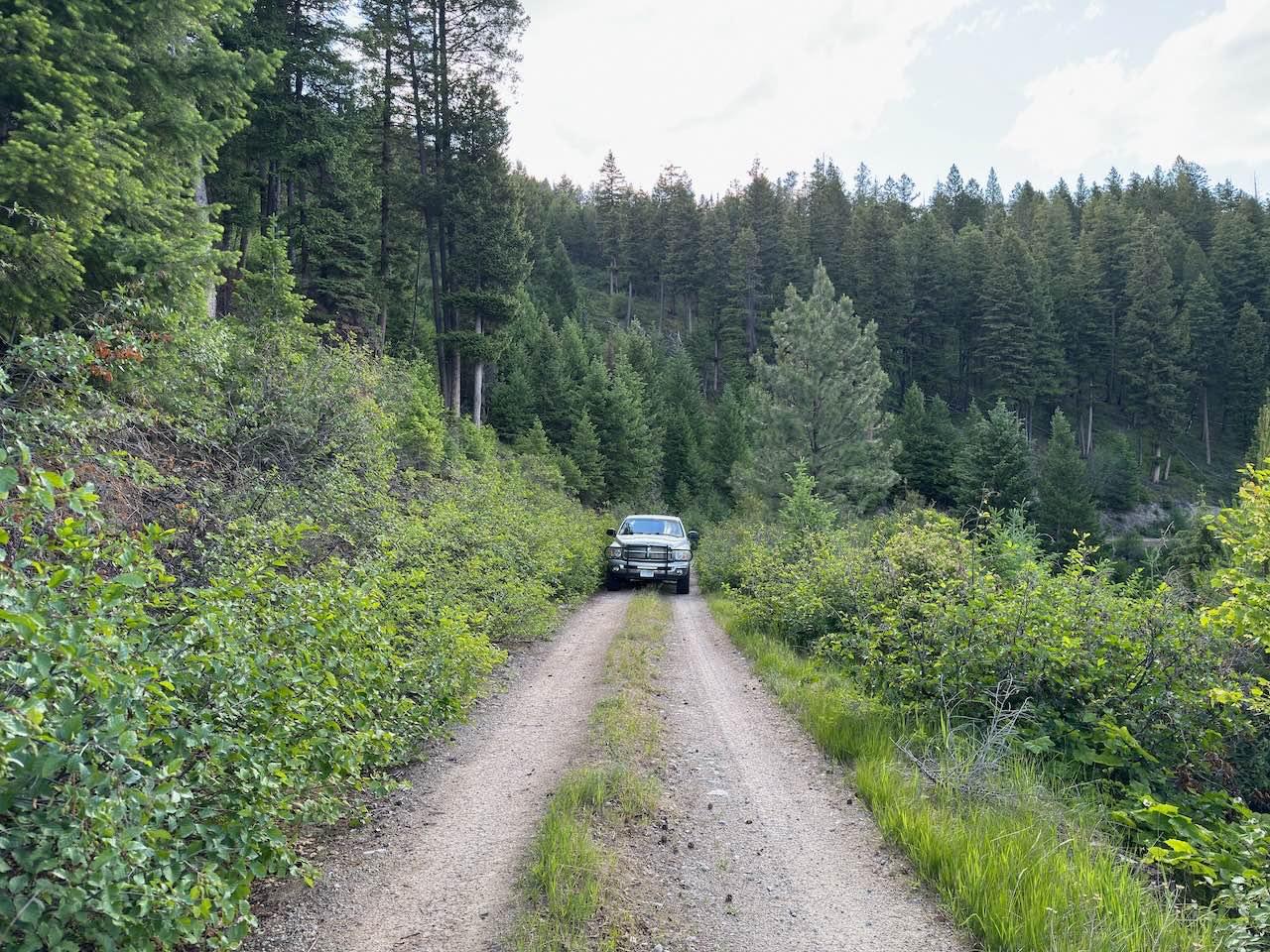
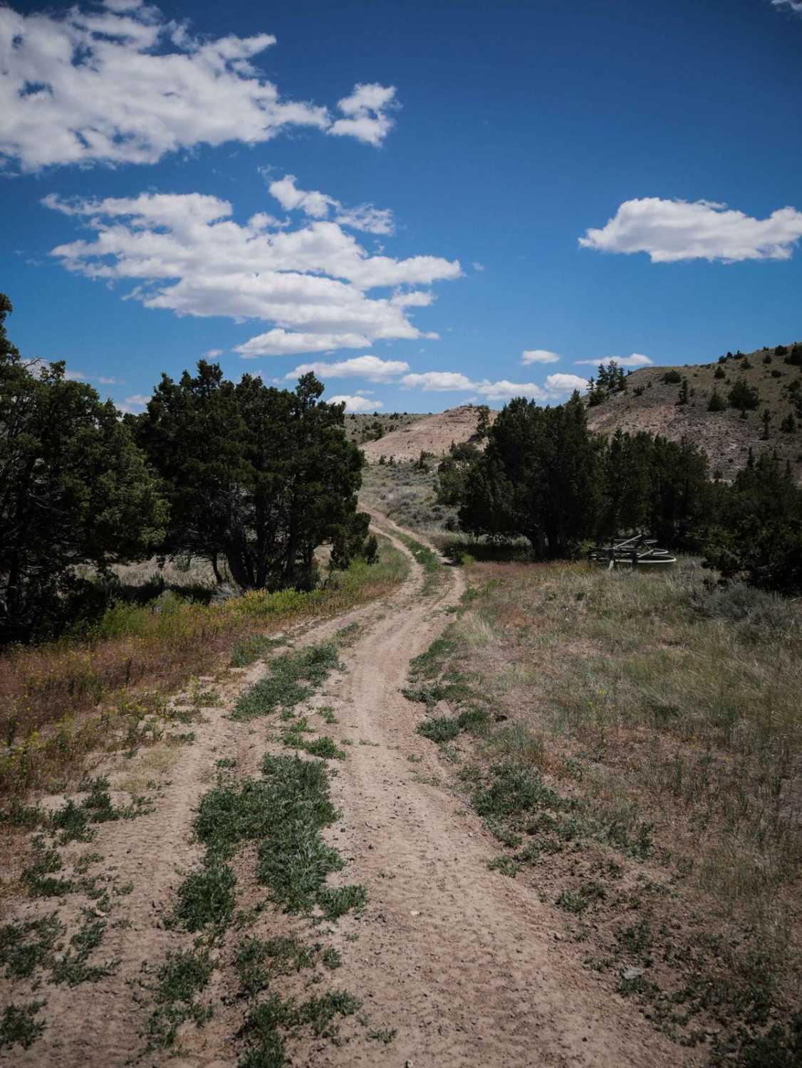
Trail Overview
This is a muddy, rutted, out and back trail. No camping was noticed along the route. The road may be impassable when wet or snowy. Nice viewpoints along the way. You may see Elk, which could be good hunting access. It's a narrow trail with a few pullouts. No service or winter maintenance.
Photos of Old Coal Creek Dead End

Difficulty
Muddy ruts could be impassable when wet or cause major trail damage. No winter maintenance, not many pullouts for oncoming traffic.
Status Reports
Old Coal Creek Dead End can be accessed by the following ride types:
- High-Clearance 4x4
- SUV
- SxS (60")
- ATV (50")
- Dirt Bike
Old Coal Creek Dead End Map
Popular Trails
West Fork Schwartz Creek
Cougar C Trail
The onX Offroad Difference
onX Offroad combines trail photos, descriptions, difficulty ratings, width restrictions, seasonality, and more in a user-friendly interface. Available on all devices, with offline access and full compatibility with CarPlay and Android Auto. Discover what you’re missing today!