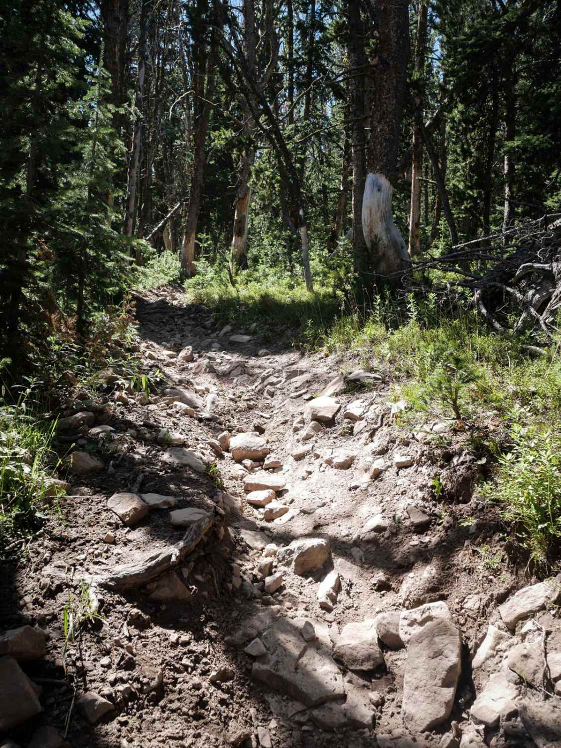
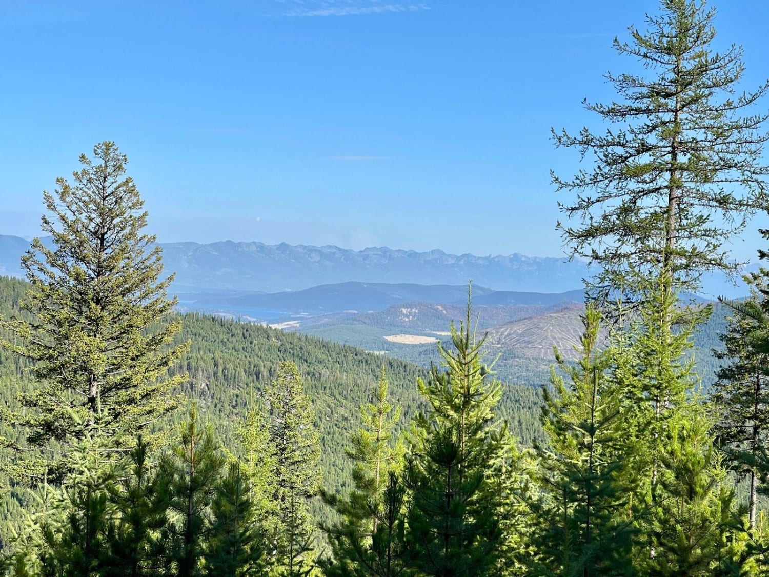
Off-Road Trails in Montana
Discover off-road trails in Montana
Learn more about Little Joe Creek FS 282
Little Joe Creek FS 282
Total Miles
14.3
Tech Rating
Easy
Best Time
Summer, Fall
Learn more about Little Joe Road
Little Joe Road
Total Miles
15.3
Tech Rating
Easy
Best Time
Spring, Summer, Fall
Learn more about Little Stanley Creek
Little Stanley Creek
Total Miles
3.2
Tech Rating
Easy
Best Time
Summer, Fall
Learn more about Little Water Creek Road
Little Water Creek Road
Total Miles
11.1
Tech Rating
Moderate
Best Time
Spring, Summer, Fall
Learn more about Little Wolf Creek Road
Little Wolf Creek Road
Total Miles
14.8
Tech Rating
Moderate
Best Time
Spring, Summer, Fall
Learn more about Livingston Peak Road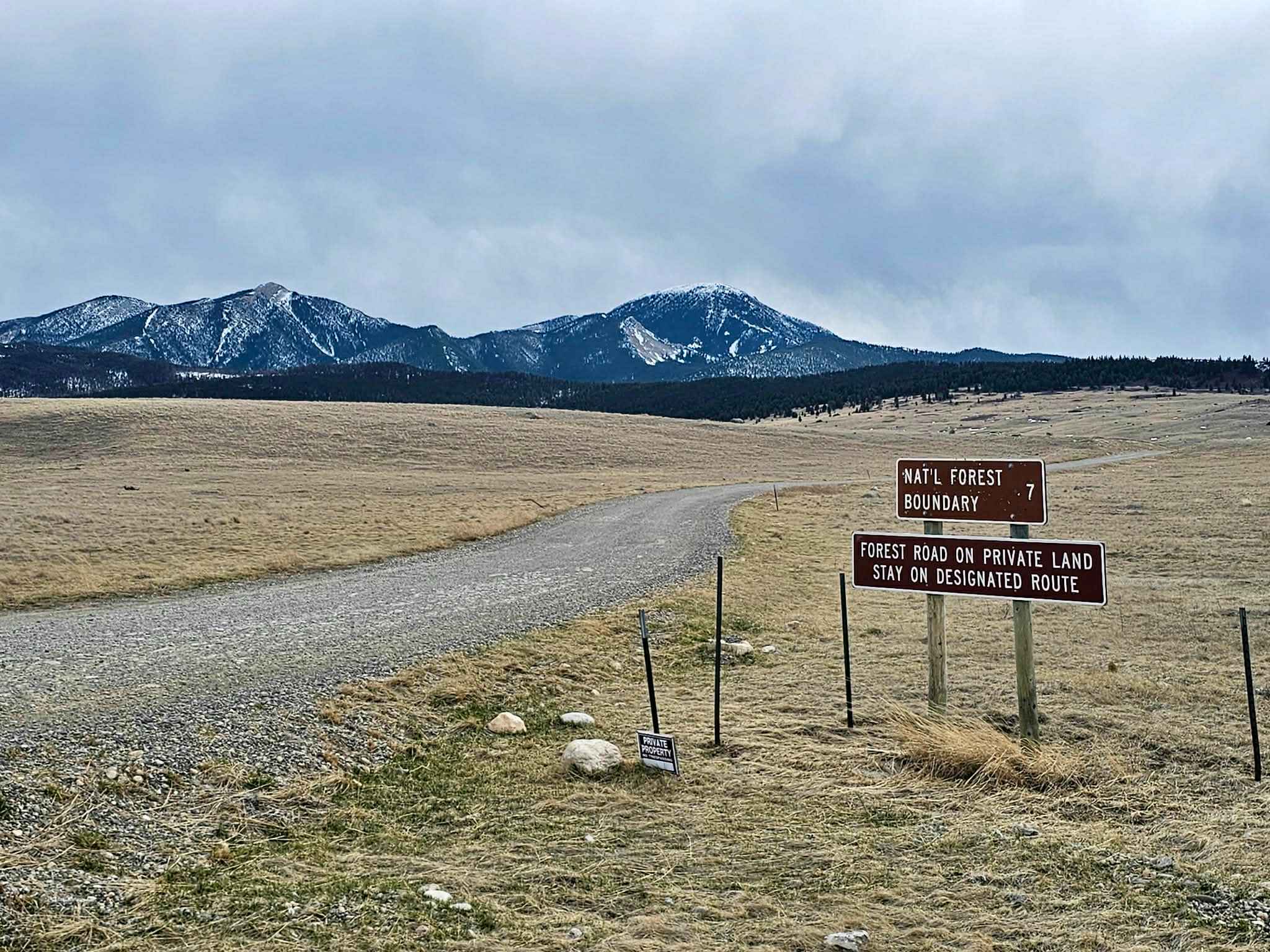
Livingston Peak Road
Total Miles
7.2
Tech Rating
Easy
Best Time
Spring, Summer
Learn more about Lloyd Scenic Loop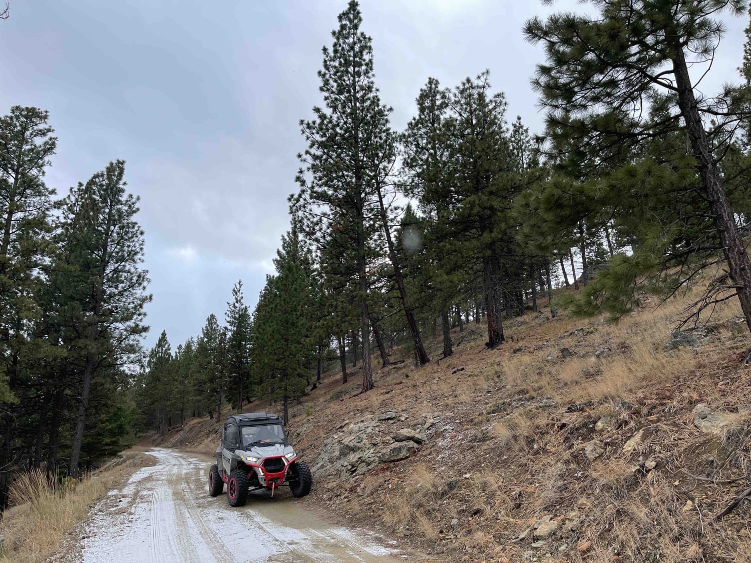
Lloyd Scenic Loop
Total Miles
5.9
Tech Rating
Easy
Best Time
Spring, Summer, Fall
Learn more about Lolo Springs Lookout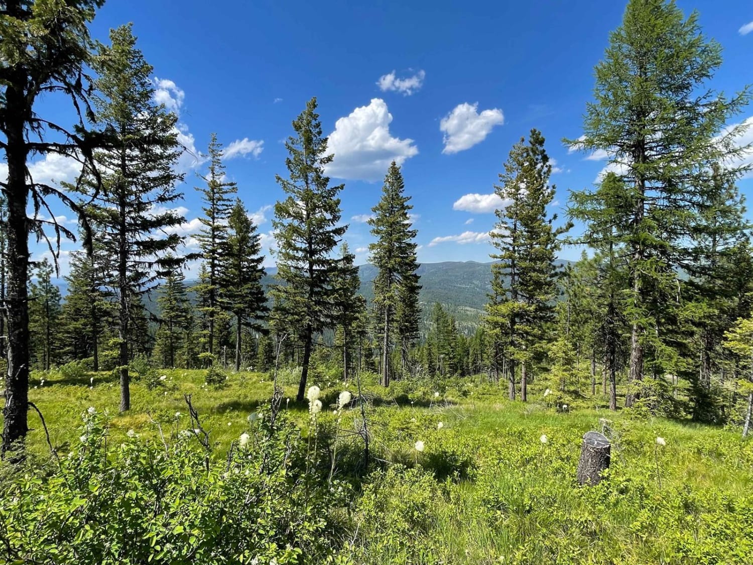
Lolo Springs Lookout
Total Miles
2.2
Tech Rating
Easy
Best Time
Fall, Summer, Spring
Learn more about Lombard Coke Ovens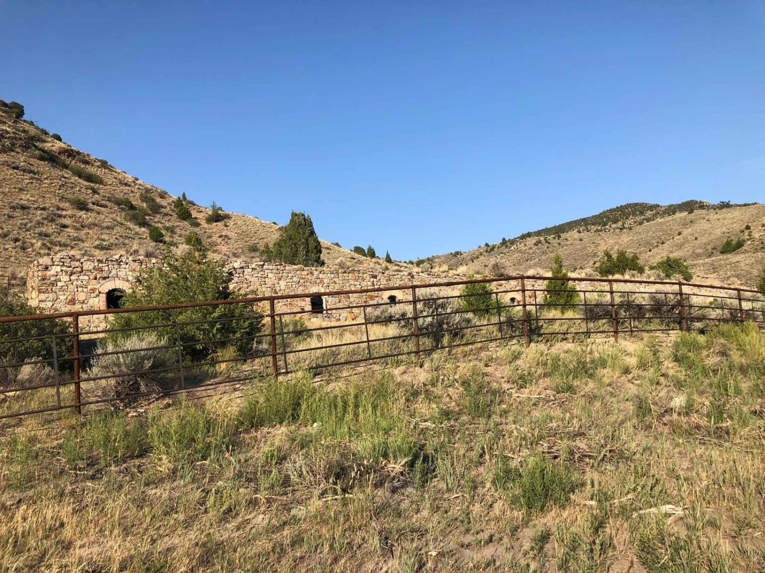
Lombard Coke Ovens
Total Miles
3.7
Tech Rating
Easy
Best Time
Spring, Summer, Fall
Learn more about Lone Cliff Cutover
Lone Cliff Cutover
Total Miles
4.2
Tech Rating
Easy
Best Time
Fall, Summer, Spring
Learn more about Lone Point Drive - FS 1824
Lone Point Drive - FS 1824
Total Miles
4.9
Tech Rating
Easy
Best Time
Spring, Summer, Fall
Learn more about Lone Tree Pass-Deer Mountain Road
Lone Tree Pass-Deer Mountain Road
Total Miles
5.6
Tech Rating
Easy
Best Time
Summer, Fall
Learn more about Long Draw Road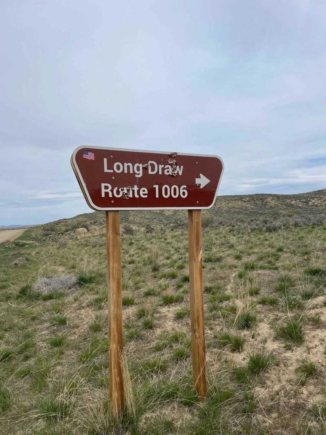
Long Draw Road
Total Miles
8.5
Tech Rating
Easy
Best Time
Spring, Fall, Summer
Learn more about Lost Horse Creek Trail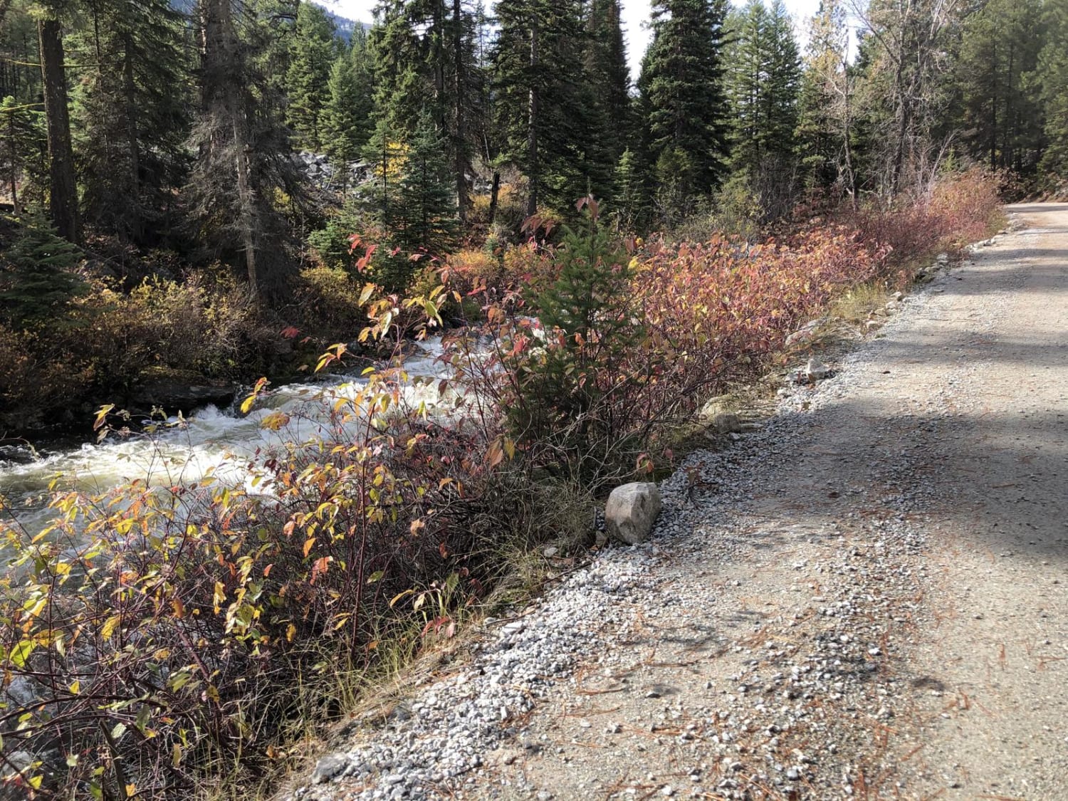
Lost Horse Creek Trail
Total Miles
18.9
Tech Rating
Easy
Best Time
Spring, Summer, Fall
Learn more about Lost Horse Observation Point
Lost Horse Observation Point
Total Miles
2.6
Tech Rating
Easy
Best Time
Summer, Fall, Spring
Learn more about Lost Horse Ridgeline Lower
Lost Horse Ridgeline Lower
Total Miles
7.6
Tech Rating
Easy
Best Time
Spring, Summer, Fall
Learn more about Lost Thin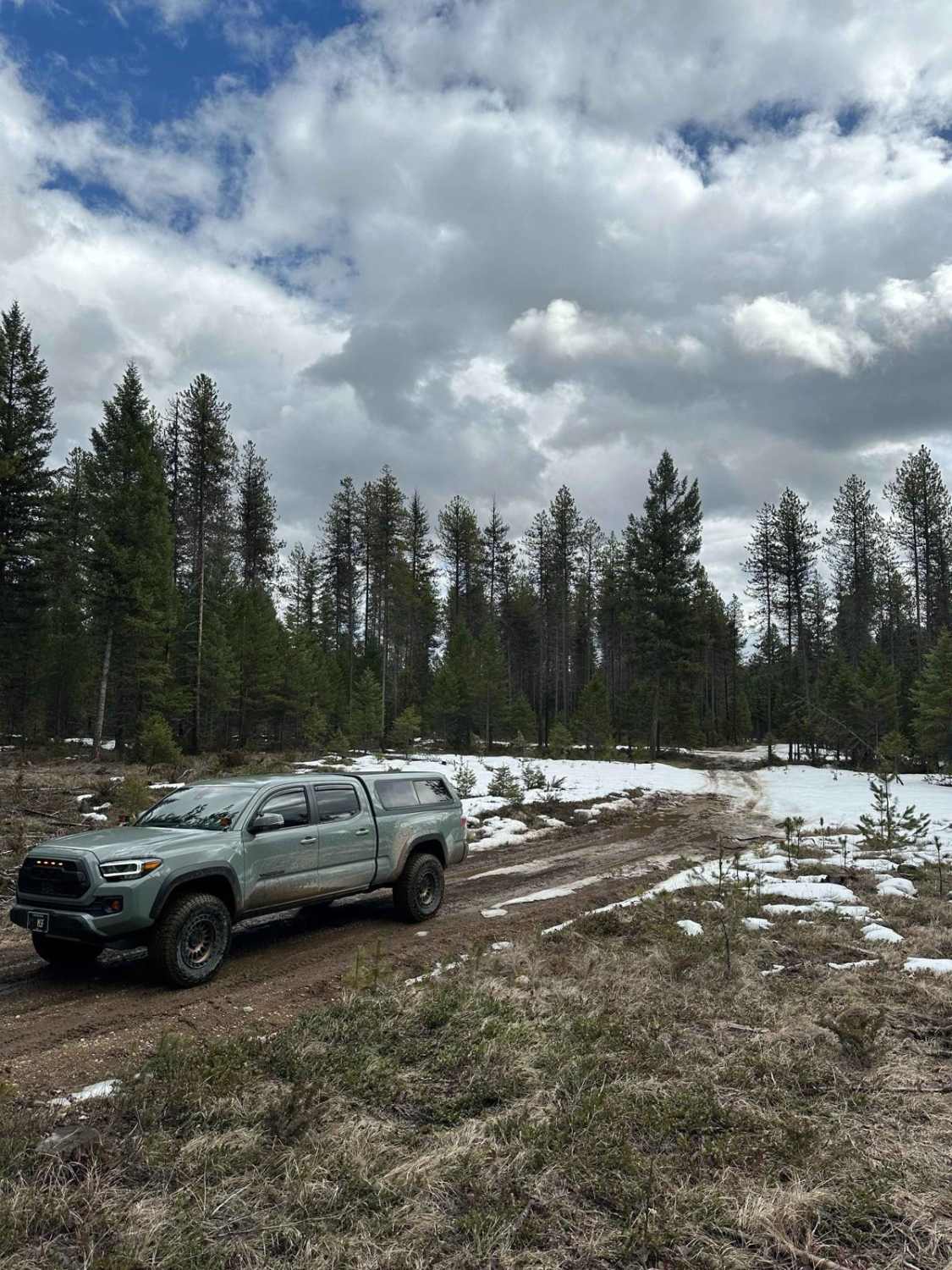
Lost Thin
Total Miles
1.6
Tech Rating
Easy
Best Time
Spring, Summer, Fall, Winter
Learn more about Lower Buck Ridge ATV 
Lower Buck Ridge ATV
Total Miles
2.4
Tech Rating
Easy
Best Time
Summer, Fall
ATV trails in Montana
Learn more about $50,000 Silver Dollar Inn - FSR 288
$50,000 Silver Dollar Inn - FSR 288
Total Miles
7.5
Tech Rating
Easy
Best Time
Spring, Summer, Fall
Learn more about 2103 West Fork Gold Creek
2103 West Fork Gold Creek
Total Miles
5.7
Tech Rating
Easy
Best Time
Spring, Summer, Fall, Winter
Learn more about 4W-7736 - Big Flat Trail
4W-7736 - Big Flat Trail
Total Miles
3.6
Tech Rating
Easy
Best Time
Spring, Summer, Fall
Learn more about 4W-7829 - Mink Peak Jeep Trail
4W-7829 - Mink Peak Jeep Trail
Total Miles
4.4
Tech Rating
Easy
Best Time
Spring, Summer, Fall
UTV/side-by-side trails in Montana
Learn more about $50,000 Silver Dollar Inn - FSR 288
$50,000 Silver Dollar Inn - FSR 288
Total Miles
7.5
Tech Rating
Easy
Best Time
Spring, Summer, Fall
Learn more about 2103 West Fork Gold Creek
2103 West Fork Gold Creek
Total Miles
5.7
Tech Rating
Easy
Best Time
Spring, Summer, Fall, Winter
Learn more about 4W-7736 - Big Flat Trail
4W-7736 - Big Flat Trail
Total Miles
3.6
Tech Rating
Easy
Best Time
Spring, Summer, Fall
Learn more about 4W-7829 - Mink Peak Jeep Trail
4W-7829 - Mink Peak Jeep Trail
Total Miles
4.4
Tech Rating
Easy
Best Time
Spring, Summer, Fall
The onX Offroad Difference
onX Offroad combines trail photos, descriptions, difficulty ratings, width restrictions, seasonality, and more in a user-friendly interface. Available on all devices, with offline access and full compatibility with CarPlay and Android Auto. Discover what you’re missing today!