Low Side Saddle
Total Miles
2.4
Technical Rating
Best Time
Spring, Summer
Trail Type
Full-Width Road
Accessible By
Trail Overview
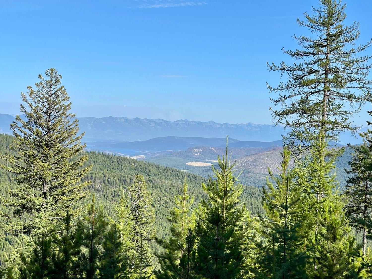
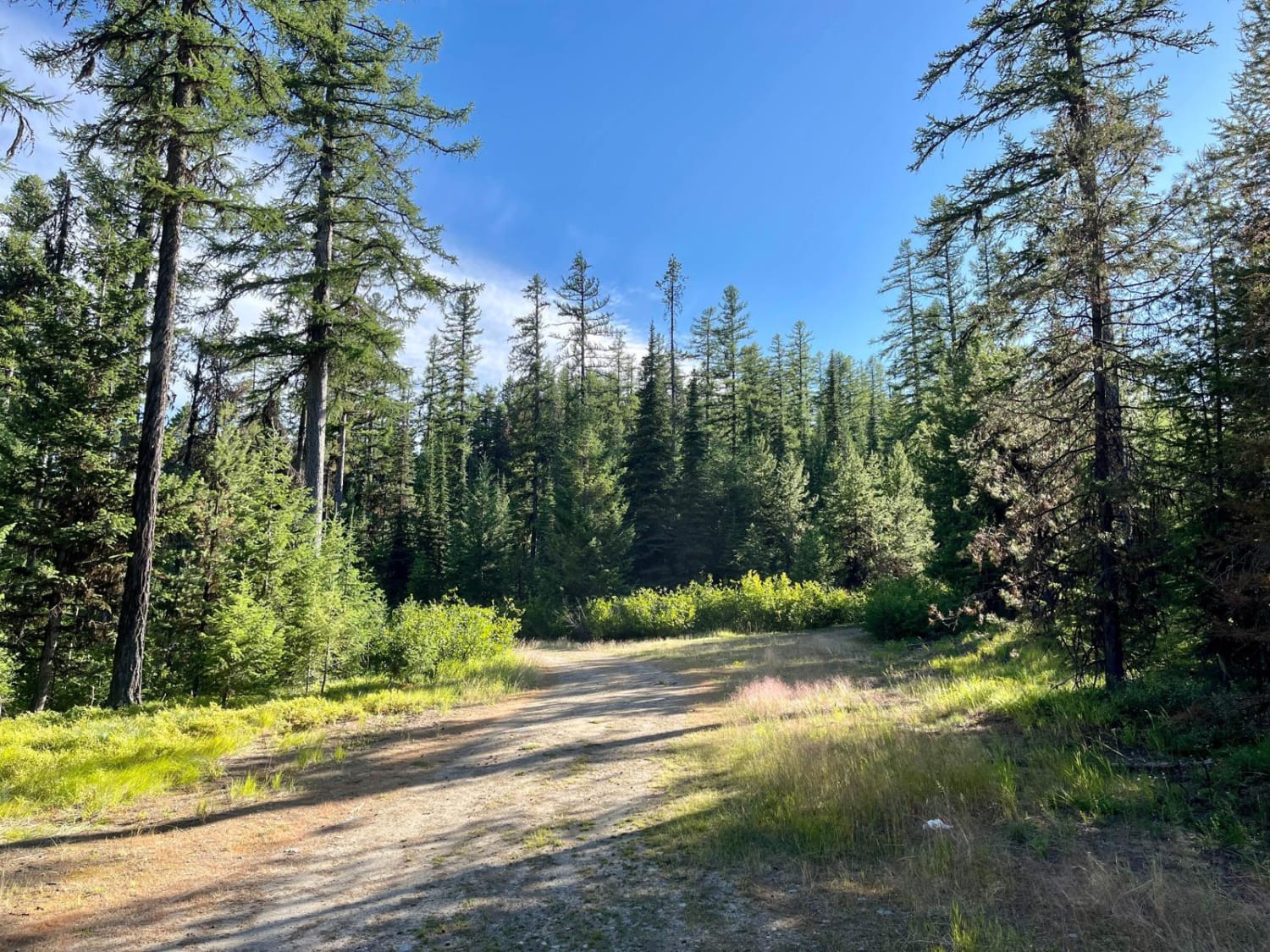
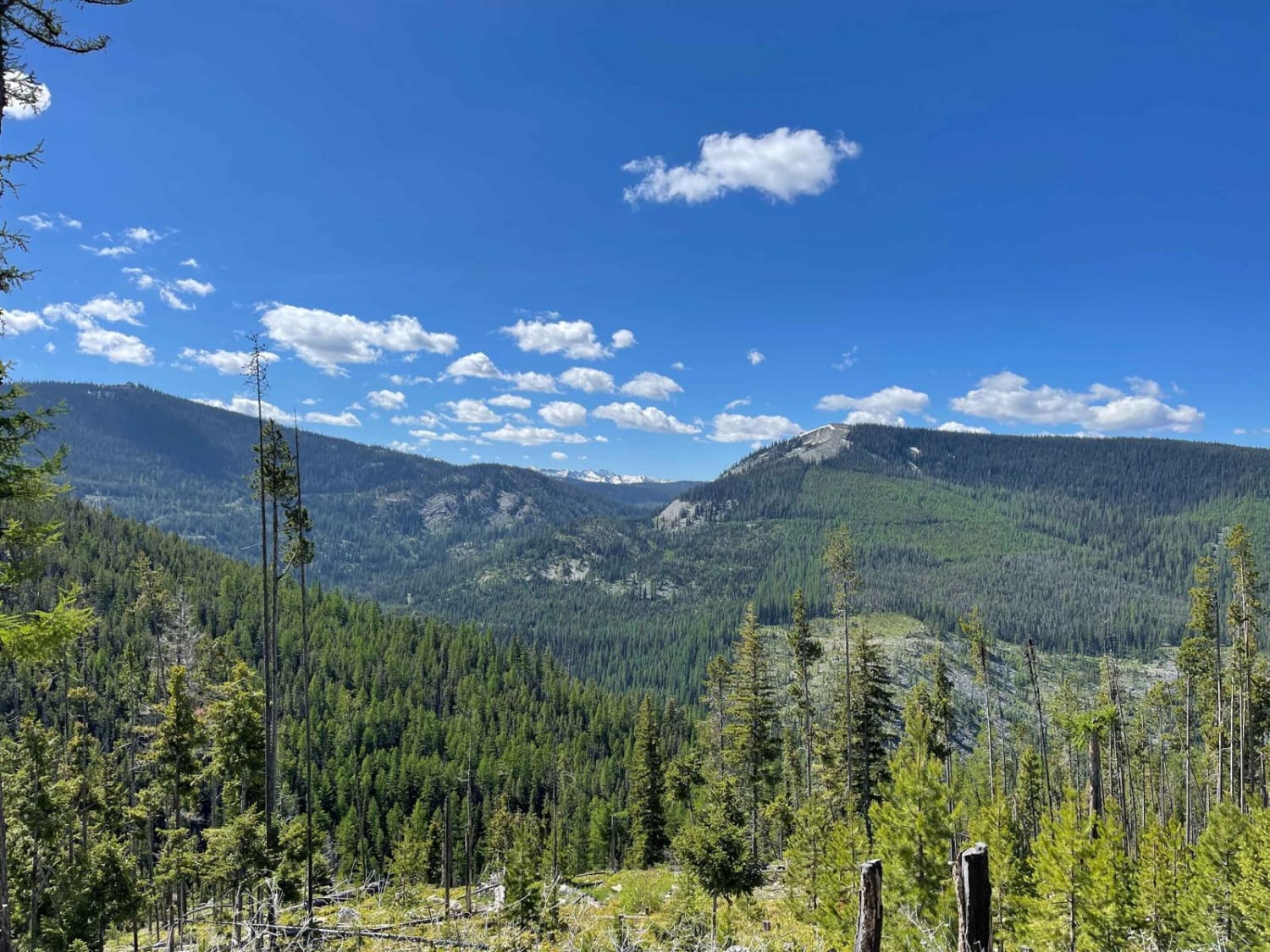
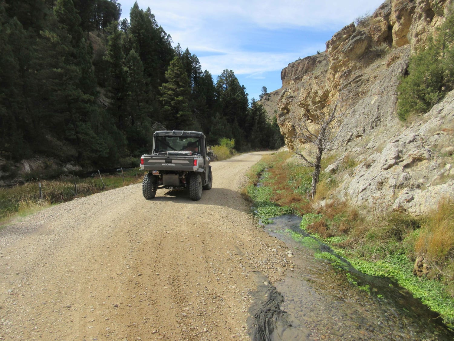
This narrow two-track trail is an out-and-back. It heads down the South Side Saddle to the Low Side Saddle, and it's the more traveled of the trails on this finger. This trail is a little off the beaten path and sees less traffic than the rest of the Wild Bill OHV area. Along the way, this trail passes through dense forests that may have downed trees to clear in spring. There are sporadic views of Lake Mary Ronan below and stunning views of the surrounding tree-covered mountains. The trail itself has some potholes here and there and narrow vegetated sections that may cause paint damage. There are a few pullouts with places to camp and a small dispersed camp spot at the turnaround at the end. One bar of T-Mobile LTE fades in and out with no Verizon service at all.
Photos of Low Side Saddle
Difficulty
This trail is narrow two-track with possible paint damage and few pull-offs for oncoming vehicles. There is no winter maintenance.
Status Reports
Low Side Saddle can be accessed by the following ride types:
- High-Clearance 4x4
- SUV
- SxS (60")
- ATV (50")
- Dirt Bike
Low Side Saddle Map
Popular Trails
Eureka Basin Road (FS 347)
Warm Springs Creek Road (FA 163) w/Cow Camp Road (FS1234)

Tamarack Creek - FS 284
The onX Offroad Difference
onX Offroad combines trail photos, descriptions, difficulty ratings, width restrictions, seasonality, and more in a user-friendly interface. Available on all devices, with offline access and full compatibility with CarPlay and Android Auto. Discover what you’re missing today!
