Tamarack Creek - FS 284
Total Miles
16.0
Technical Rating
Best Time
Summer
Trail Type
Full-Width Road
Accessible By
Trail Overview
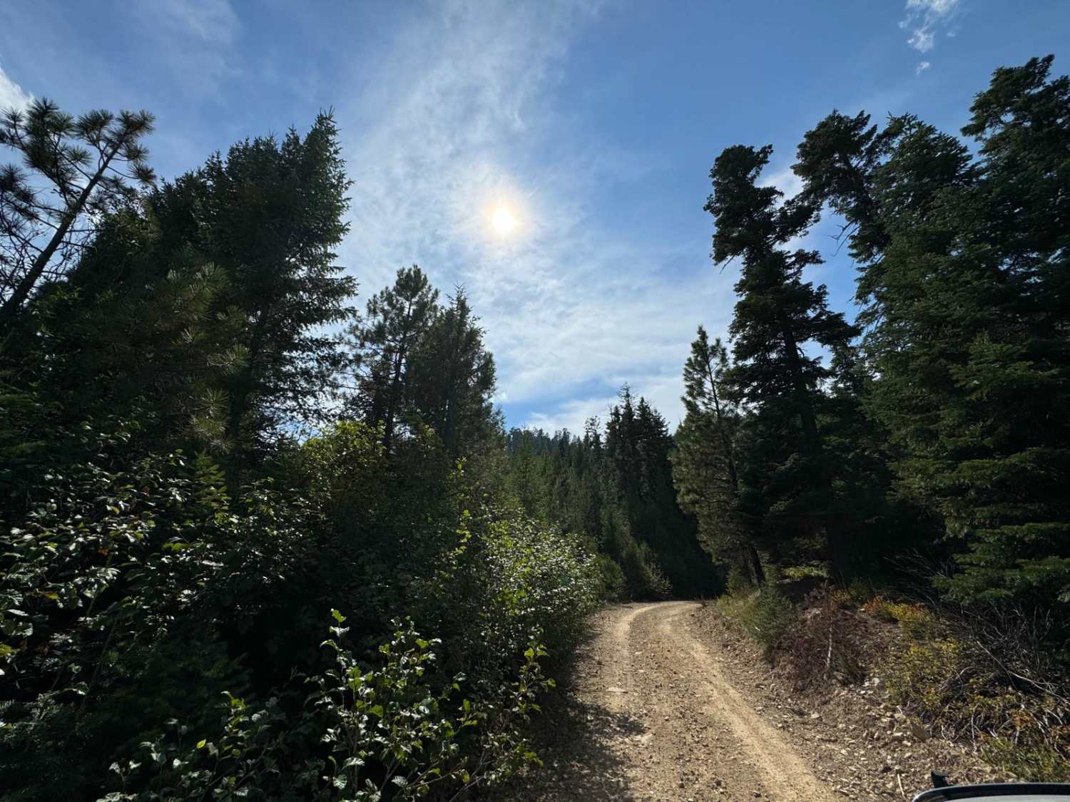
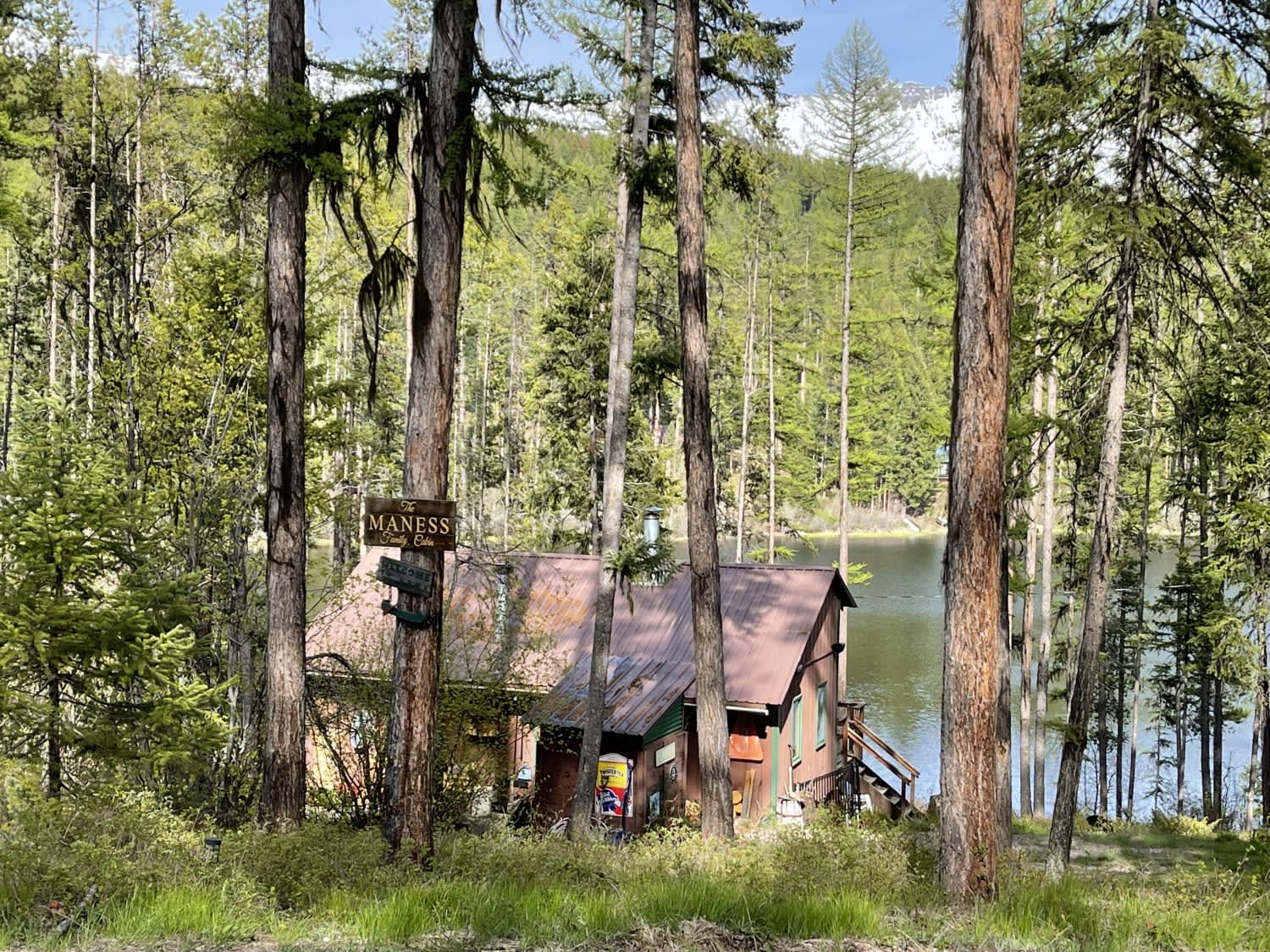
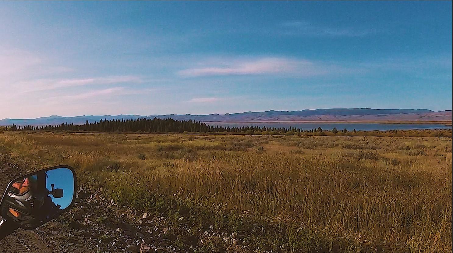
Tamarack Creek is USFS road 284, a moderately traveled gravel road through Lolo National Forest north of St. Regis, Montana. The road has heavier use near Highway 135, which decreases as you ascend toward Camel's Hump Lookout. It is easily traveled by all vehicles except when snow or ice covered. The roadway is subject to some mild erosion from heavy rains and sporadic tree deadfall. There are portions in the higher elevation that have brush encroach on the roadway. This area is heavily treed and has logging, hunting, and other activities present. Multiple divergent trails branch off the main roadway, and most of them are gated. There are some camping spots and a few pullouts along the route. There are also dedicated hiking trails to Olson Peak (trl. #709) as well as the abandoned Johnson Homestead which is worth a look. There are deer, elk, bear, and small ground animals in the area, but no vault bathrooms or amenities.
Photos of Tamarack Creek - FS 284


Difficulty
This trail has a mild grade and is typically wide enough for two vehicles.
Status Reports
Tamarack Creek - FS 284 can be accessed by the following ride types:
- High-Clearance 4x4
- SUV
- SxS (60")
- ATV (50")
- Dirt Bike
Tamarack Creek - FS 284 Map
Popular Trails

Upper Spoon Creek
Red Rock Lakes
The onX Offroad Difference
onX Offroad combines trail photos, descriptions, difficulty ratings, width restrictions, seasonality, and more in a user-friendly interface. Available on all devices, with offline access and full compatibility with CarPlay and Android Auto. Discover what you’re missing today!