Eureka Basin Road (FS 347)
Total Miles
5.3
Technical Rating
Best Time
Fall, Summer
Trail Type
Full-Width Road
Accessible By
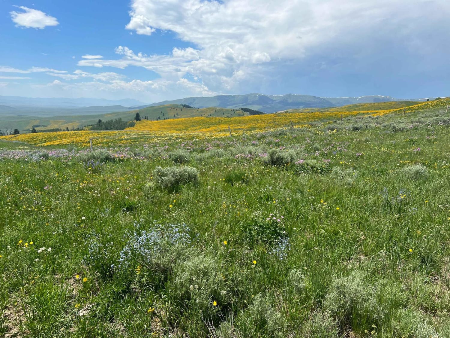
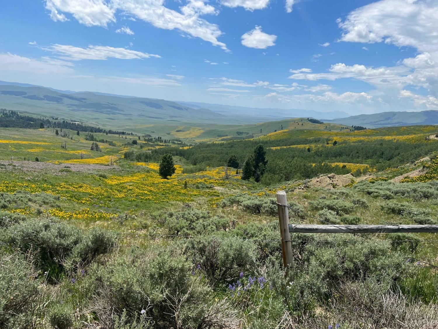
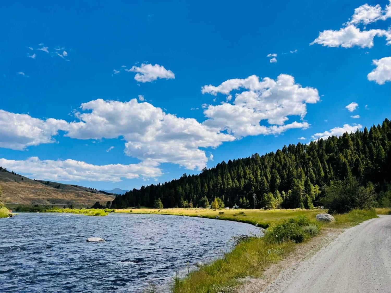
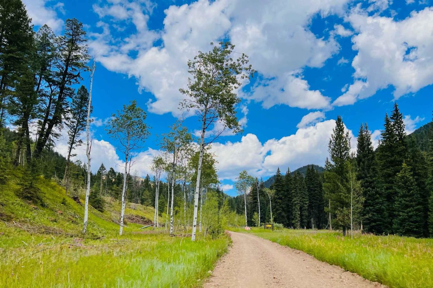
Trail Overview
This road is actually a connector between Gravelly Range Road and Centennial Divide Road. Like Gravelly, this road has some spectacular views, and on the southern end, you will drop off the upper mesa at approximately 8,000 feet down to the valley at approximately 6,500 feet. This is an easy, maintained road during the summer/fall seasons until closed by winter precipitation.
Photos of Eureka Basin Road (FS 347)
Difficulty
This is a maintained road that provides local traffic a way to move within the area.
Status Reports
Eureka Basin Road (FS 347) can be accessed by the following ride types:
- High-Clearance 4x4
- SUV
- SxS (60")
- ATV (50")
- Dirt Bike
Eureka Basin Road (FS 347) Map
Popular Trails

Upper Spoon Creek
Eagle Nest River Access

West Fork of Swamp Creek
The onX Offroad Difference
onX Offroad combines trail photos, descriptions, difficulty ratings, width restrictions, seasonality, and more in a user-friendly interface. Available on all devices, with offline access and full compatibility with CarPlay and Android Auto. Discover what you’re missing today!