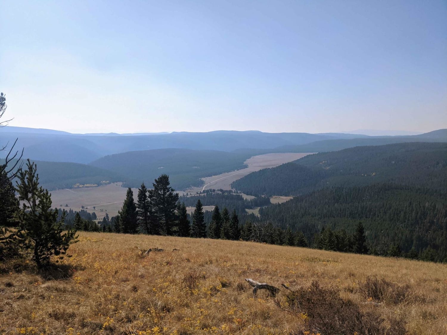
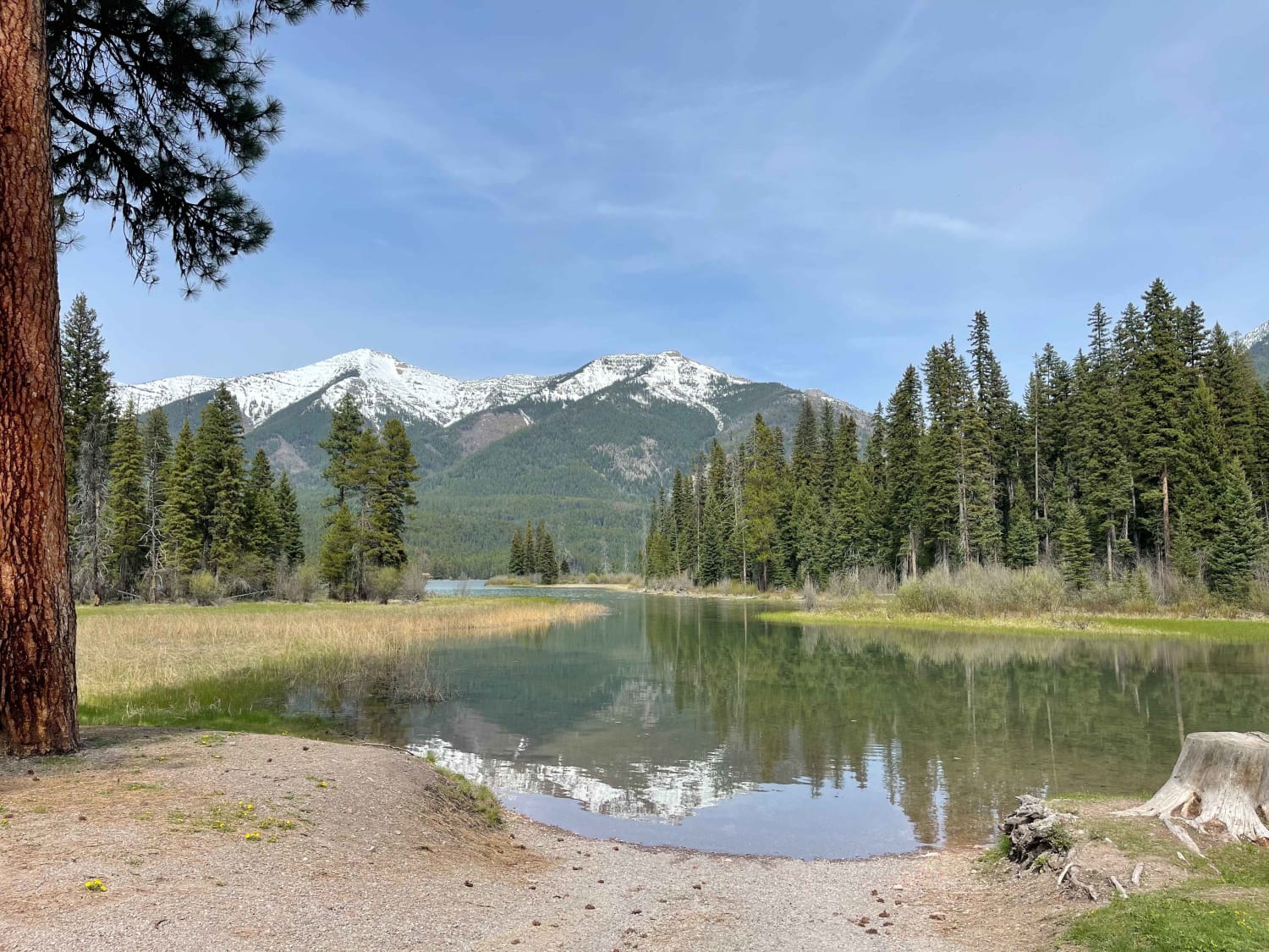
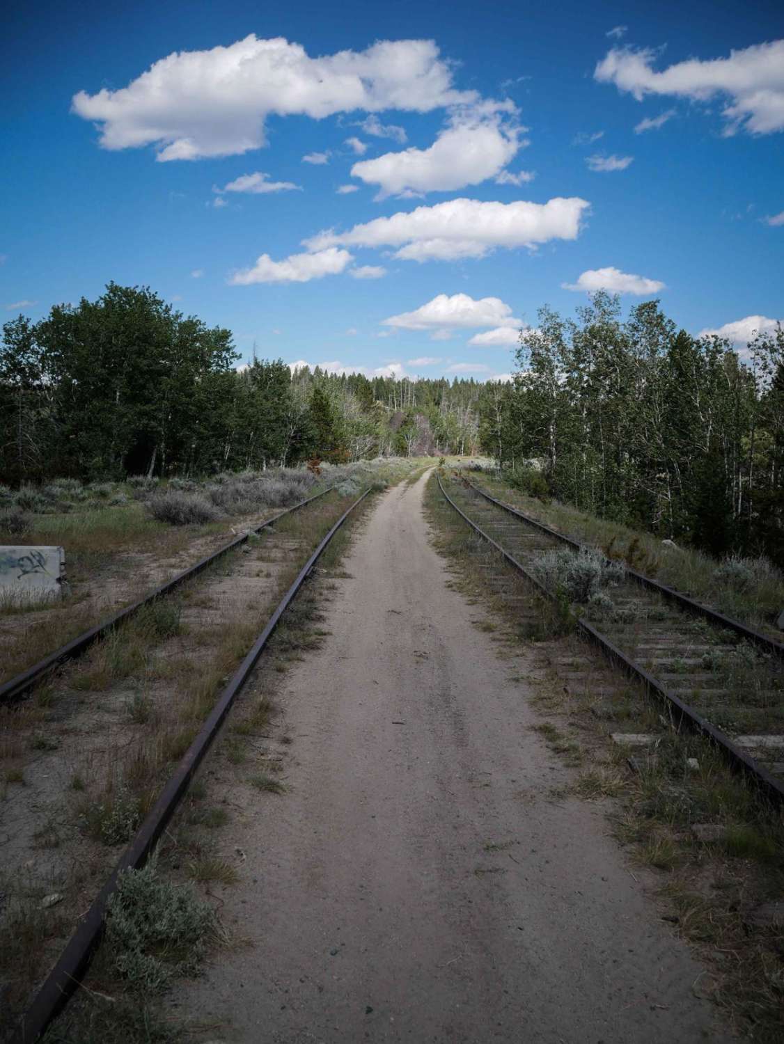
Off-Road Trails in Montana
Discover off-road trails in Montana
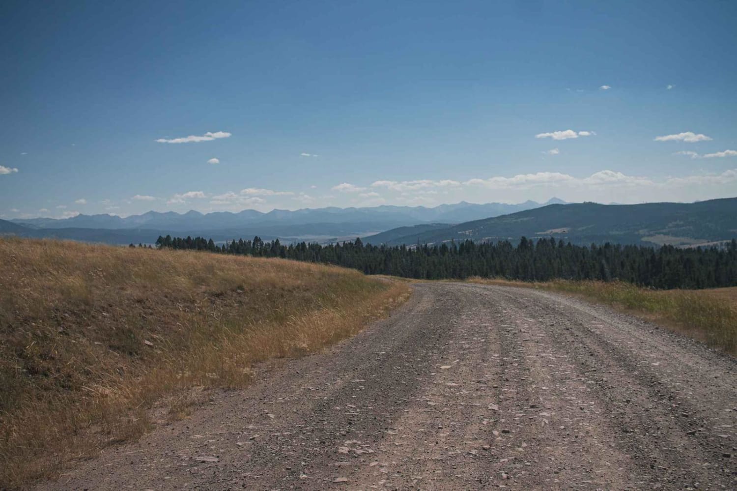
Learn more about Henderson Mountain Road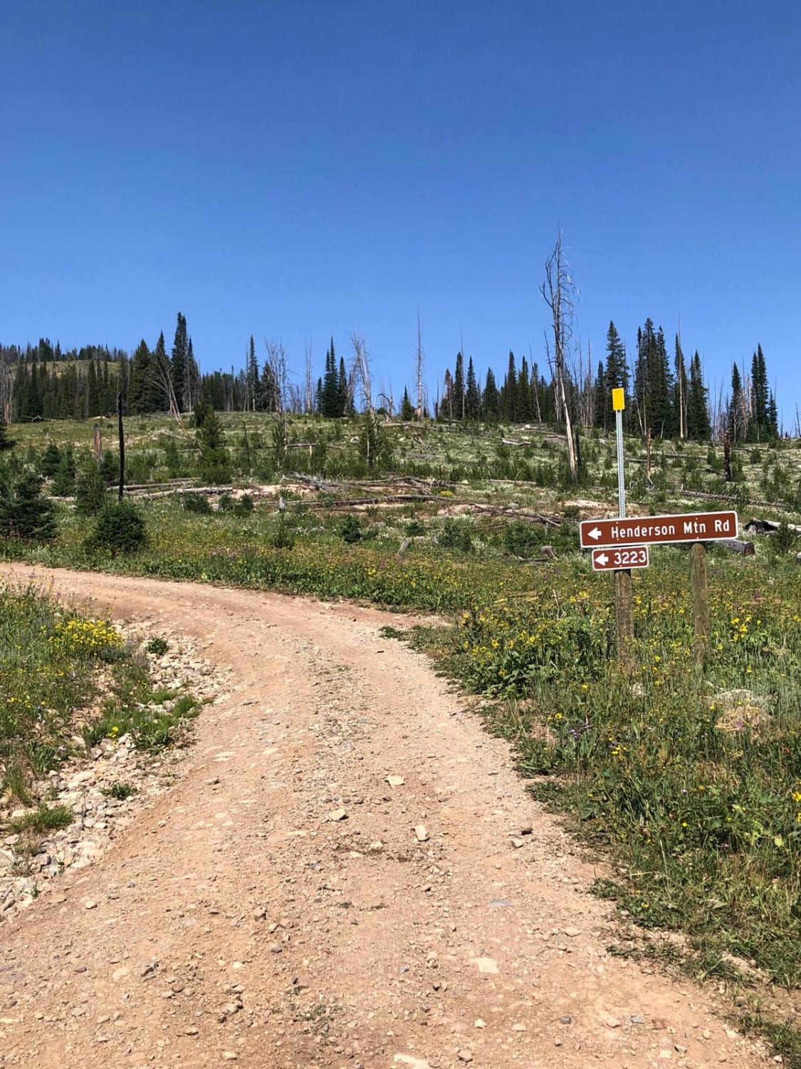
Henderson Mountain Road
Total Miles
2.7
Tech Rating
Easy
Best Time
Spring, Summer, Fall
Learn more about Hidden Lake Cutoff - FS 194 
Hidden Lake Cutoff - FS 194
Total Miles
1.7
Tech Rating
Moderate
Best Time
Summer
Learn more about Hidden Lake Divide #66 
Hidden Lake Divide #66
Total Miles
7.6
Tech Rating
Difficult
Best Time
Summer
Learn more about Hidden Lakes ATV #179 
Hidden Lakes ATV #179
Total Miles
2.2
Tech Rating
Moderate
Best Time
Summer
Learn more about Hidden Lakes ATV #179 - Extreme Difficulty Section
Hidden Lakes ATV #179 - Extreme Difficulty Section
Total Miles
0.4
Tech Rating
Extreme
Best Time
Summer
Learn more about High Mountain Meadows
High Mountain Meadows
Total Miles
4.1
Tech Rating
Easy
Best Time
Summer, Spring, Fall
Learn more about Highway Connection 106A
Highway Connection 106A
Total Miles
2.3
Tech Rating
Easy
Best Time
Summer, Spring, Fall
Learn more about HooDoo Pass by FSR 250-Superior, MT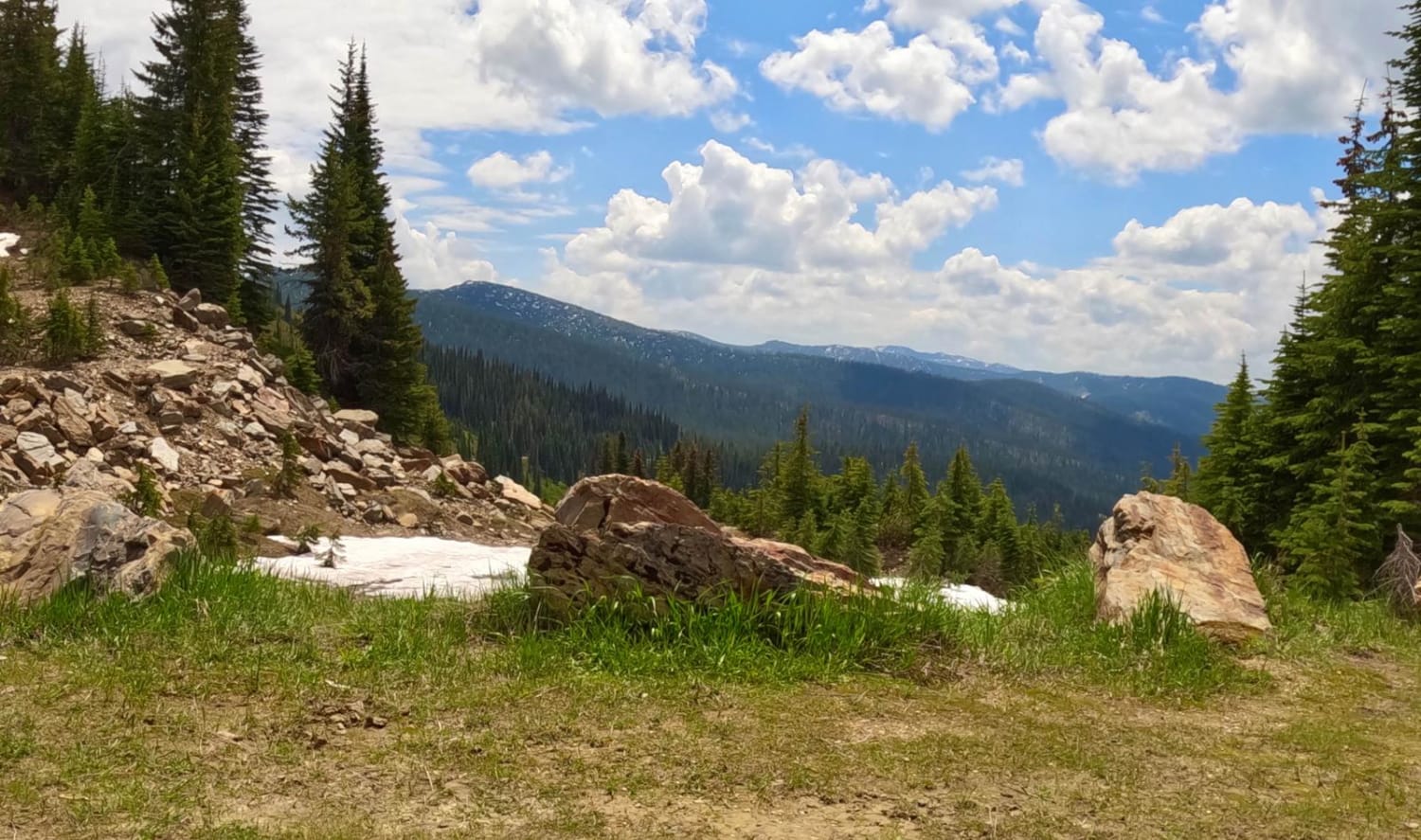
HooDoo Pass by FSR 250-Superior, MT
Total Miles
18.8
Tech Rating
Easy
Best Time
Spring, Summer, Fall
Learn more about Horse Butte Fire Lookout Road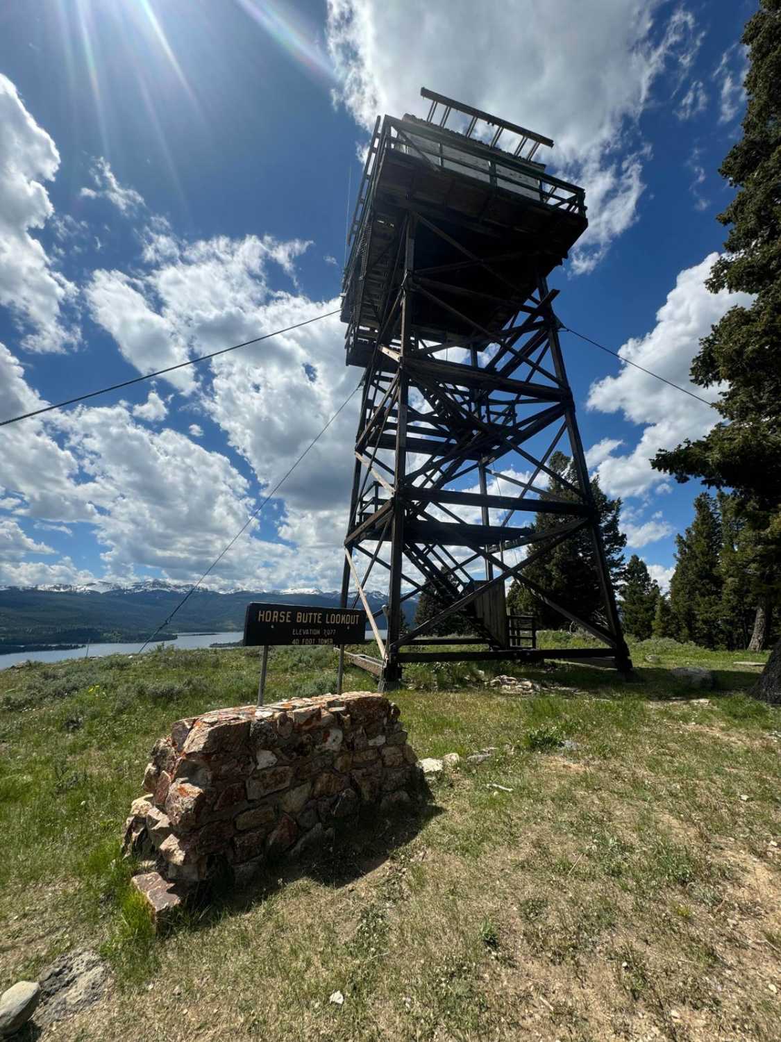
Horse Butte Fire Lookout Road
Total Miles
0.6
Tech Rating
Easy
Best Time
Spring, Summer, Fall
Learn more about Horse Butte Lake Trail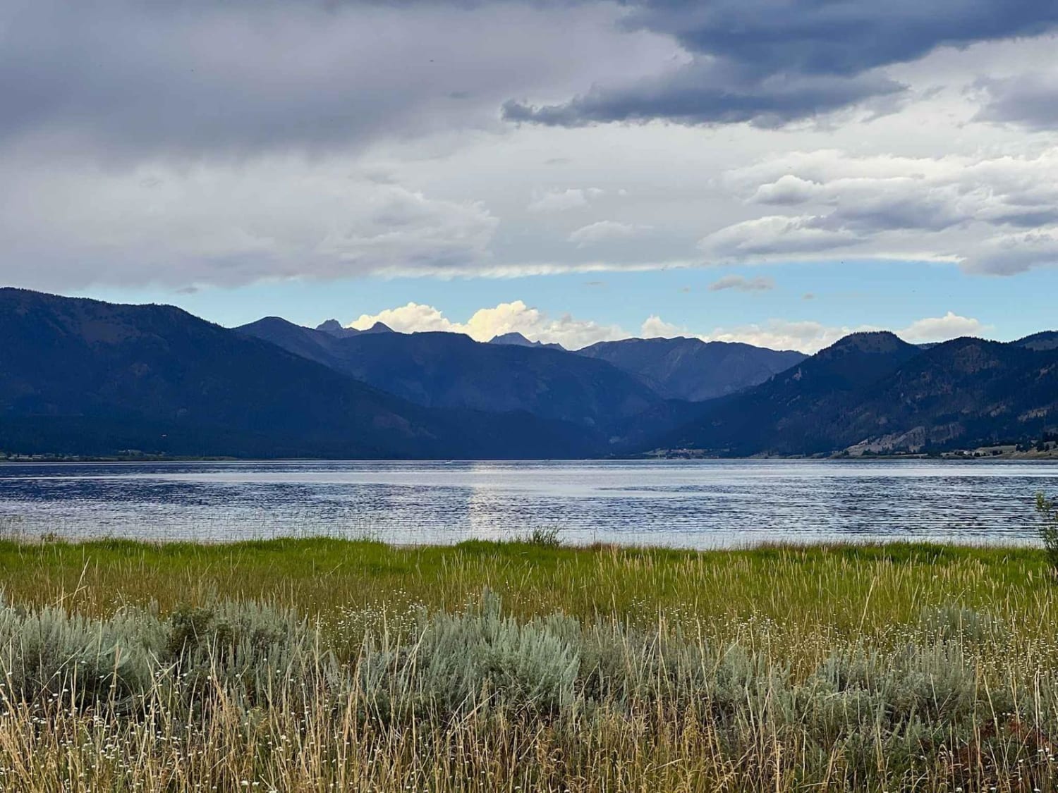
Horse Butte Lake Trail
Total Miles
6.1
Tech Rating
Moderate
Best Time
Summer, Fall, Spring
Learn more about Horsethief Recreation Area
Horsethief Recreation Area
Total Miles
0.6
Tech Rating
Easy
Best Time
Spring, Summer, Fall
Learn more about Hot Springs 3000
Hot Springs 3000
Total Miles
11.6
Tech Rating
Easy
Best Time
Spring, Summer, Fall
Learn more about Hubbart Dam Rd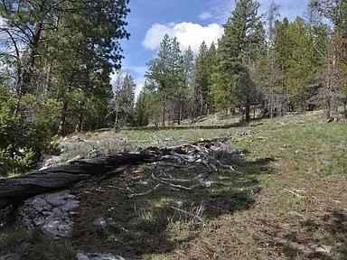
Hubbart Dam Rd
Total Miles
14.5
Tech Rating
Easy
Best Time
Spring, Summer, Fall
Learn more about Huckleberry Mountain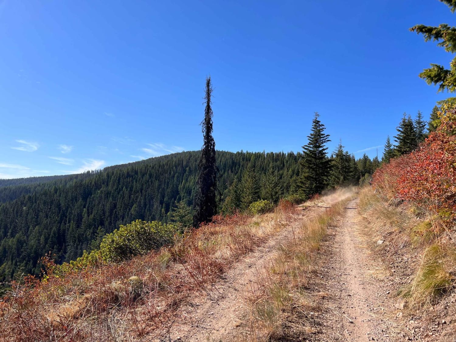
Huckleberry Mountain
Total Miles
10.9
Tech Rating
Easy
Best Time
Fall, Summer, Spring
ATV trails in Montana
Learn more about $50,000 Silver Dollar Inn - FSR 288
$50,000 Silver Dollar Inn - FSR 288
Total Miles
7.5
Tech Rating
Easy
Best Time
Spring, Summer, Fall
Learn more about 2103 West Fork Gold Creek
2103 West Fork Gold Creek
Total Miles
5.7
Tech Rating
Easy
Best Time
Spring, Summer, Fall, Winter
Learn more about 4W-7736 - Big Flat Trail
4W-7736 - Big Flat Trail
Total Miles
3.6
Tech Rating
Easy
Best Time
Spring, Summer, Fall
Learn more about 4W-7829 - Mink Peak Jeep Trail
4W-7829 - Mink Peak Jeep Trail
Total Miles
4.4
Tech Rating
Easy
Best Time
Spring, Summer, Fall
UTV/side-by-side trails in Montana
Learn more about $50,000 Silver Dollar Inn - FSR 288
$50,000 Silver Dollar Inn - FSR 288
Total Miles
7.5
Tech Rating
Easy
Best Time
Spring, Summer, Fall
Learn more about 2103 West Fork Gold Creek
2103 West Fork Gold Creek
Total Miles
5.7
Tech Rating
Easy
Best Time
Spring, Summer, Fall, Winter
Learn more about 4W-7736 - Big Flat Trail
4W-7736 - Big Flat Trail
Total Miles
3.6
Tech Rating
Easy
Best Time
Spring, Summer, Fall
Learn more about 4W-7829 - Mink Peak Jeep Trail
4W-7829 - Mink Peak Jeep Trail
Total Miles
4.4
Tech Rating
Easy
Best Time
Spring, Summer, Fall
The onX Offroad Difference
onX Offroad combines trail photos, descriptions, difficulty ratings, width restrictions, seasonality, and more in a user-friendly interface. Available on all devices, with offline access and full compatibility with CarPlay and Android Auto. Discover what you’re missing today!