HooDoo Pass by FSR 250-Superior, MT
Total Miles
18.8
Technical Rating
Best Time
Spring, Summer, Fall
Trail Type
Full-Width Road
Accessible By
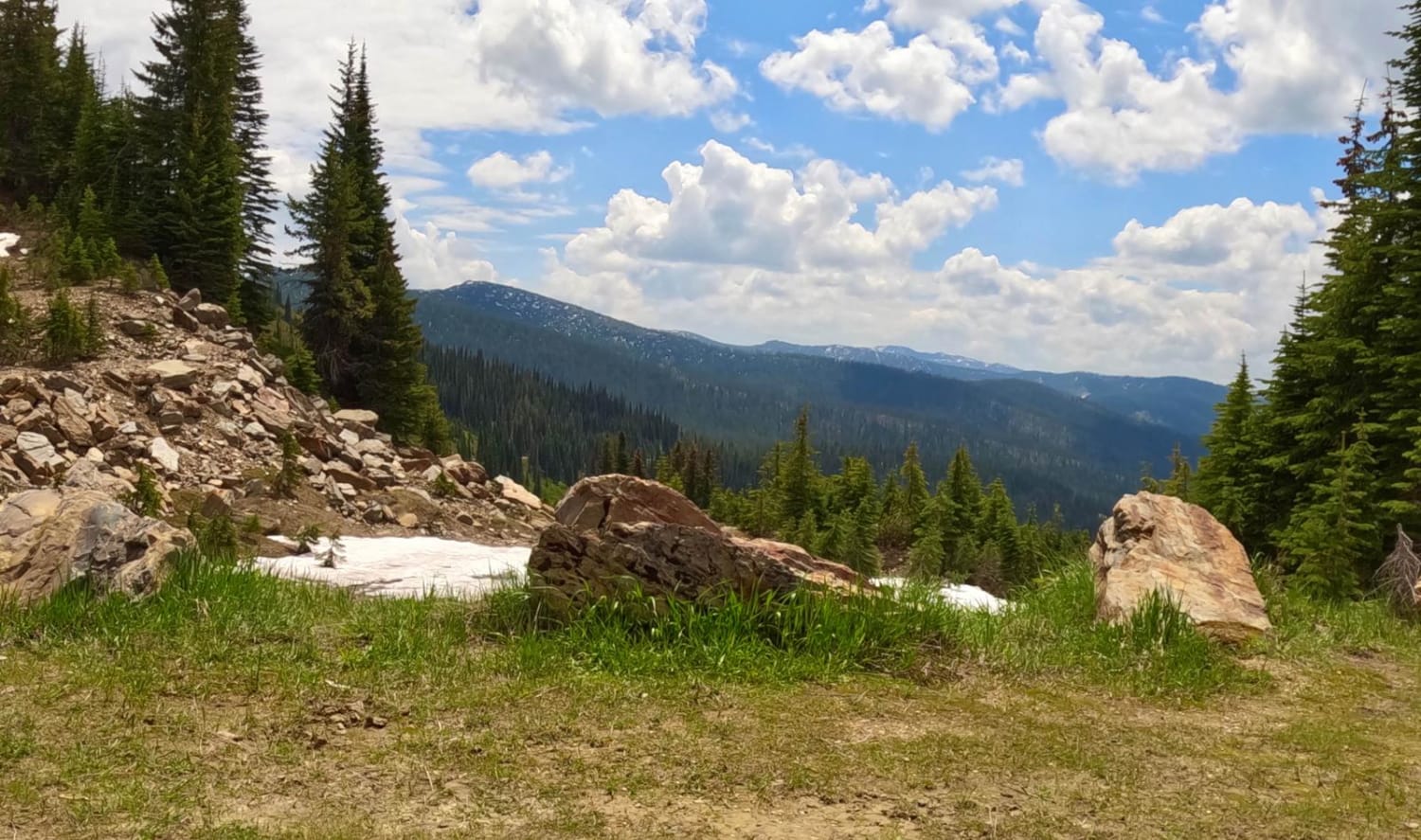
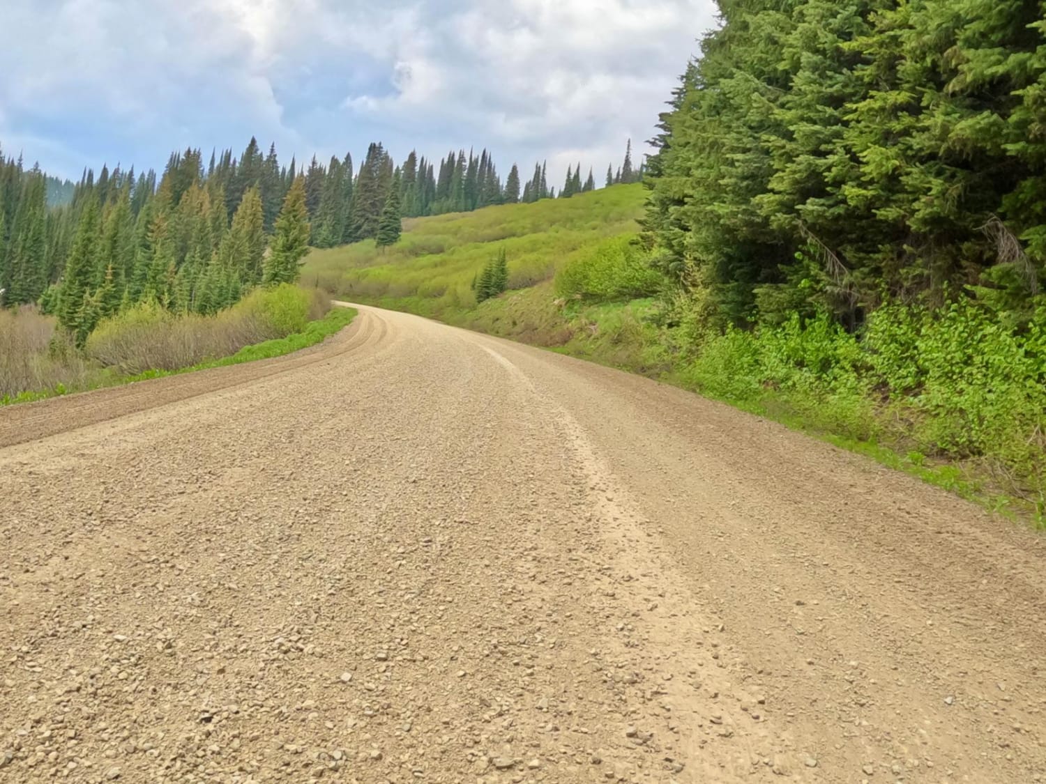
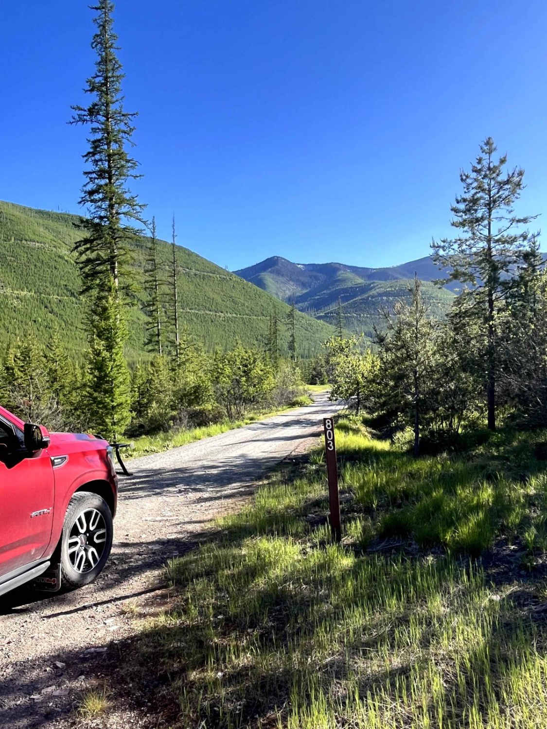
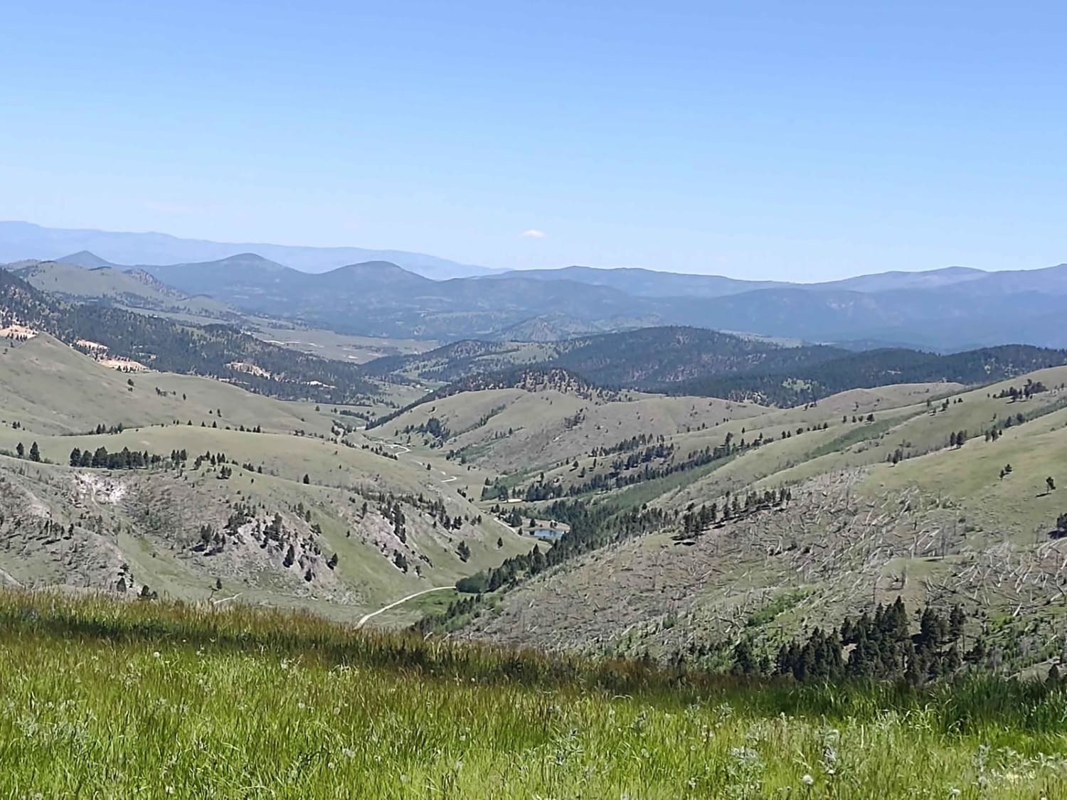
Trail Overview
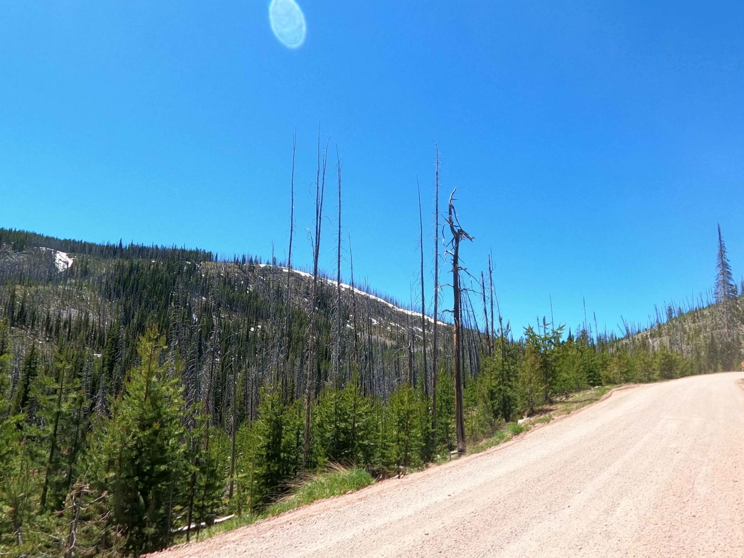
The route begins at a parking area at Hoodoo Pass. The route runs on a two-lane gravel road for 18 miles. It descends from 6000'-2800' following along Trout Creek most of the way. The route is curvy with some steep drop-offs along its banks. The route could be very dusty during dry periods.
Photos of HooDoo Pass by FSR 250-Superior, MT
Difficulty
There can be oncoming traffic at any time, so stay focused when going around curves.
HooDoo Pass by FSR 250-Superior, MT can be accessed by the following ride types:
- High-Clearance 4x4
- SUV
- SxS (60")
- ATV (50")
- Dirt Bike
HooDoo Pass by FSR 250-Superior, MT Map
Popular Trails
Hallowat Creek North - NF315
Clancy Creek Road
Skalkaho Highway / MT 38

Rock Creek Trail - 4W-378
The onX Offroad Difference
onX Offroad combines trail photos, descriptions, difficulty ratings, width restrictions, seasonality, and more in a user-friendly interface. Available on all devices, with offline access and full compatibility with CarPlay and Android Auto. Discover what you’re missing today!