Skalkaho Highway / MT 38
Total Miles
20.0
Technical Rating
Best Time
Spring, Summer, Fall
Trail Type
Full-Width Road
Accessible By
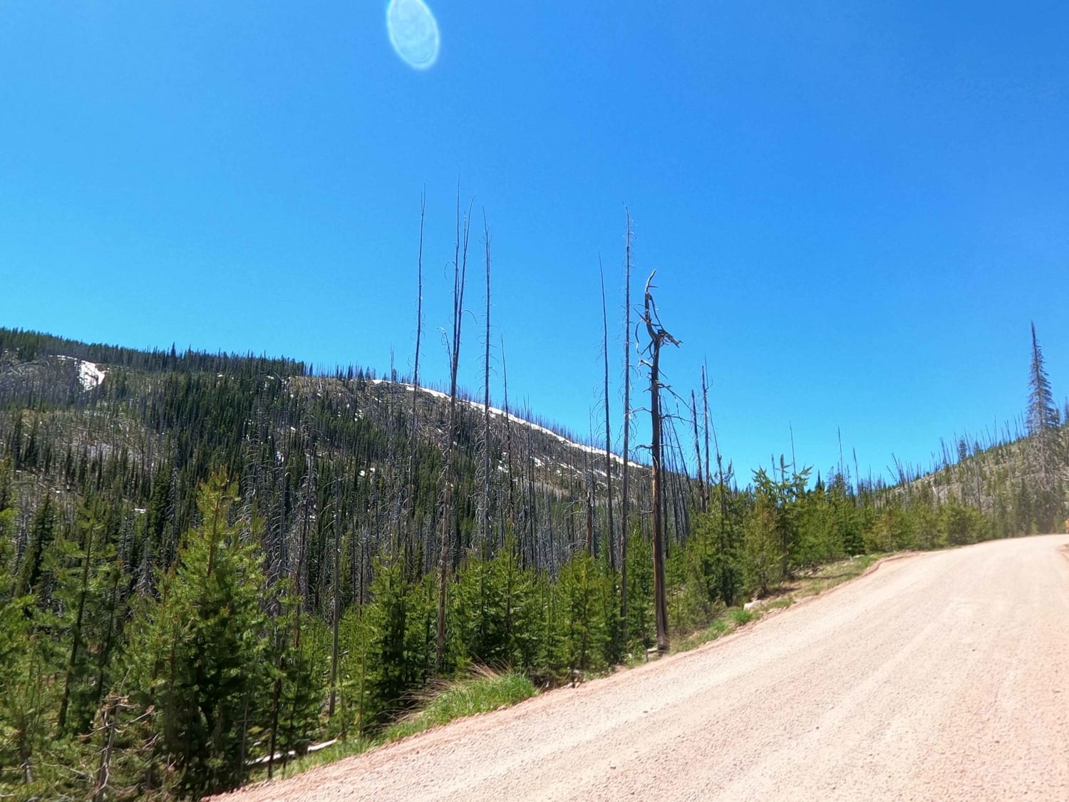
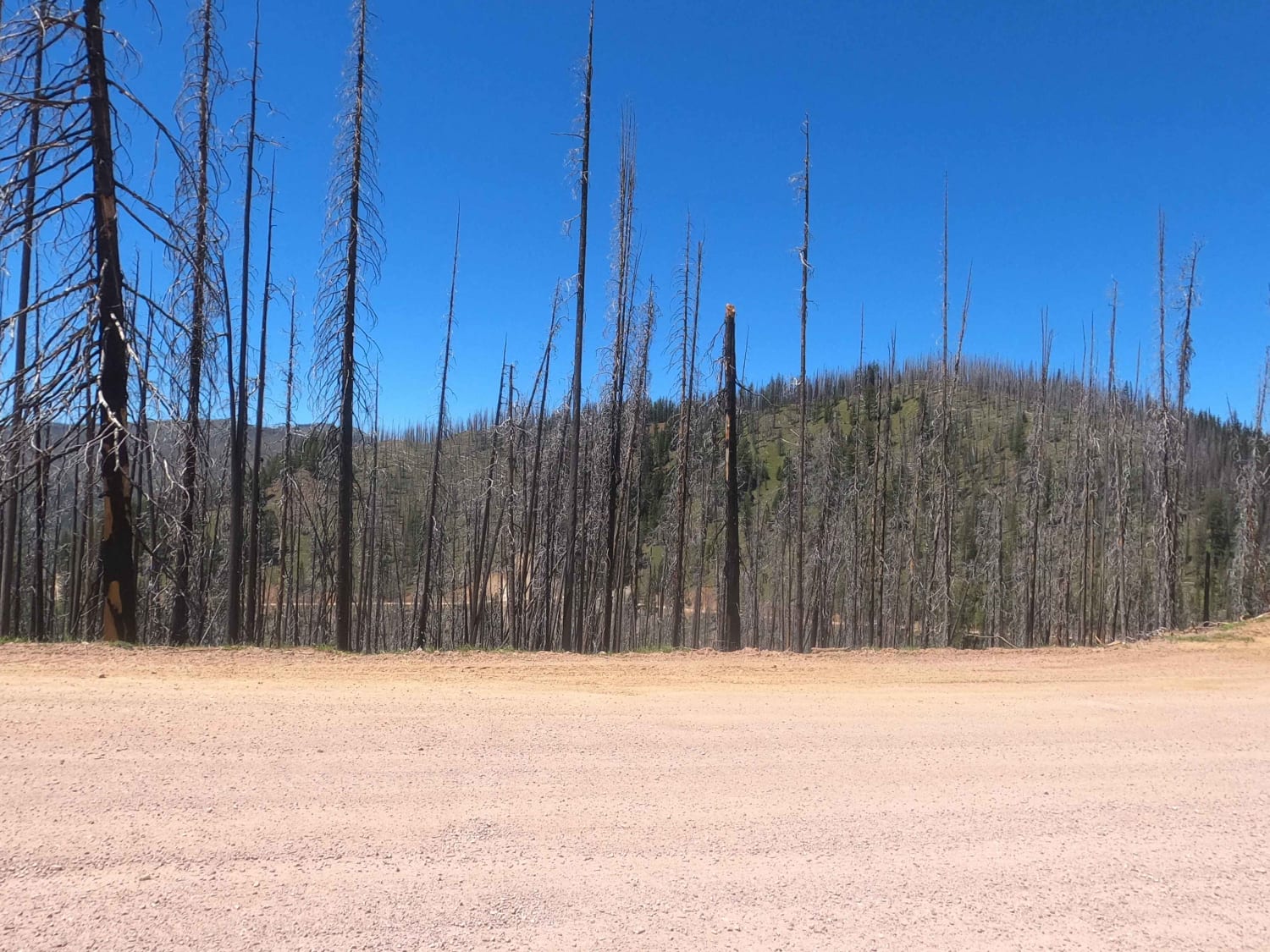
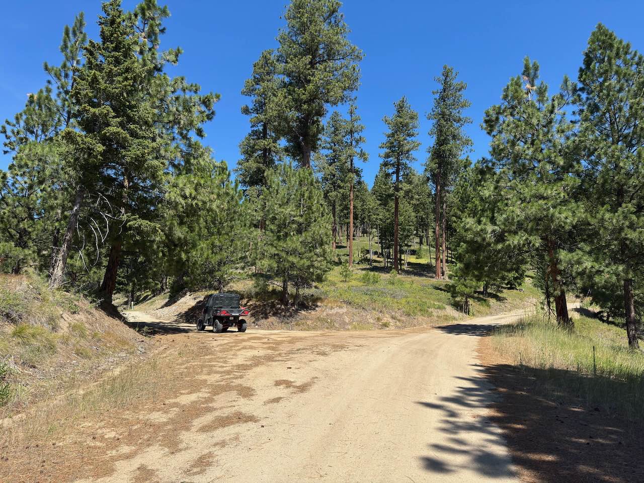
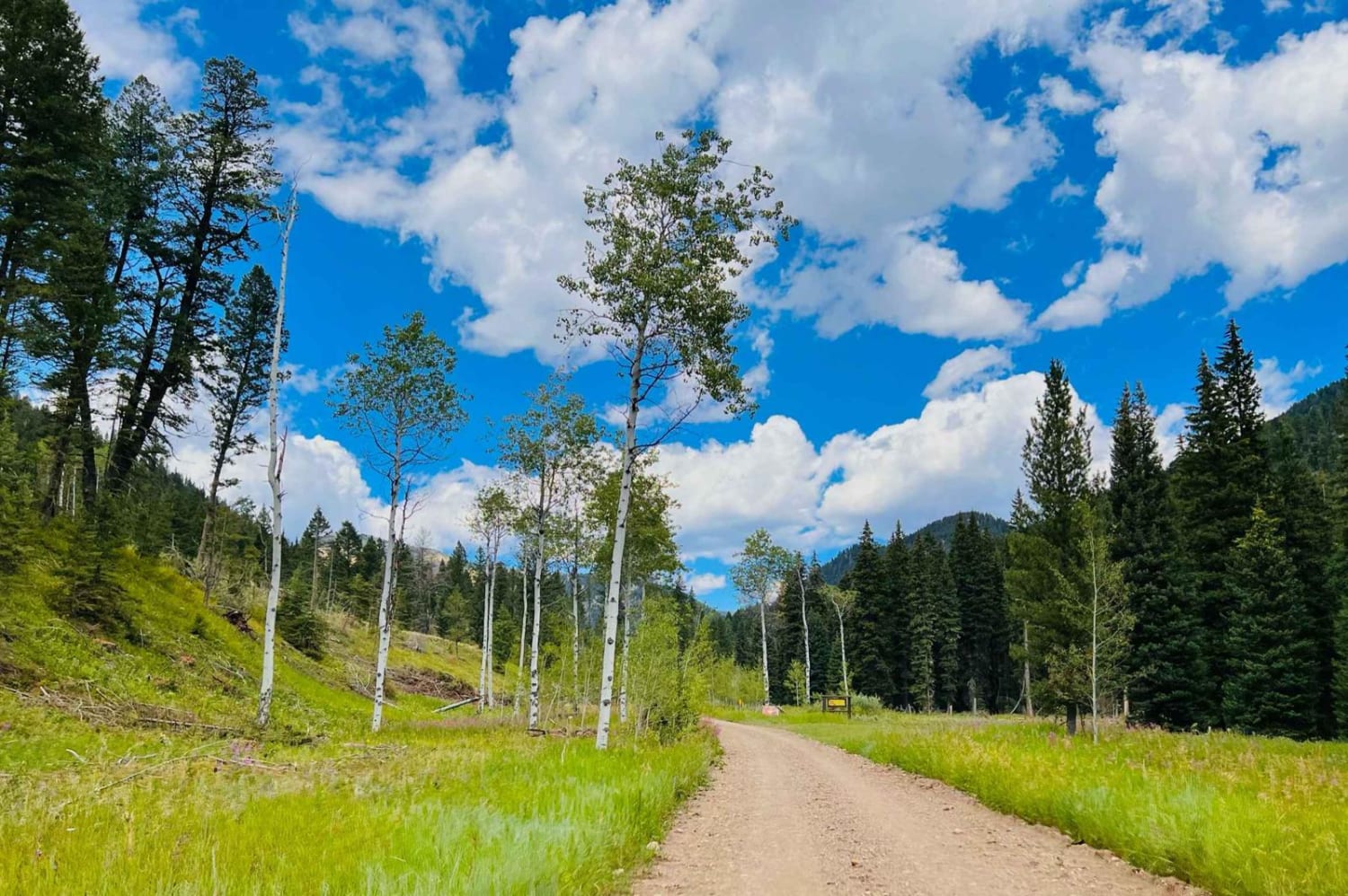
Trail Overview
This is far from your average Highway with its staggering views and rough dirt road. Reminiscent of the Going to the Sun Highway in Glacier National Park but without the stop and go traffic, pavement, and gawking tourists (mostly), the Skalkaho Highway connects Hamilton to Philipsburg and Anaconda across the Sapphire Mountains. With an abundance of campsites (established and dispersed), hiking trails, and a network of dirt roads, you will be hard pressed to find a better area to spend a long weekend (and trust me, you'll need it if you plan on even scratching the surface). The road has some sections of pavement along the river but is mostly dirt and Skalkaho Pass closes during the winter when snows get too deep. While the road is maintained, it can often be heavily potholed or washed out in Spring. While most of the road is wide enough for two vehicles, there are some narrow and windy sections in the pass where you should take things slowly around blind corners.
Photos of Skalkaho Highway / MT 38
Difficulty
The road is typically well maintained dirt and washouts are addressed fairly quickly.
History
This Highway was built in 1924 to link the Bitterroot and Philipsburg valleys to mines in the mountains.
Status Reports
Skalkaho Highway / MT 38 can be accessed by the following ride types:
- High-Clearance 4x4
- SUV
- SxS (60")
- ATV (50")
- Dirt Bike
Skalkaho Highway / MT 38 Map
Popular Trails


Blodgett Canyon Overlook
The onX Offroad Difference
onX Offroad combines trail photos, descriptions, difficulty ratings, width restrictions, seasonality, and more in a user-friendly interface. Available on all devices, with offline access and full compatibility with CarPlay and Android Auto. Discover what you’re missing today!