Off-Road Trails in Montana
Discover off-road trails in Montana
Learn more about Gloria Mine Trail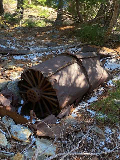
Gloria Mine Trail
Total Miles
4.4
Tech Rating
Moderate
Best Time
Summer, Fall
Learn more about Gold Creek to 7 Mile Bridge
Gold Creek to 7 Mile Bridge
Total Miles
6.3
Tech Rating
Easy
Best Time
Spring, Summer, Fall

Learn more about Gold Creek Trail 126 (Seasonal Access)
Gold Creek Trail 126 (Seasonal Access)
Total Miles
4.2
Tech Rating
Easy
Best Time
Summer, Fall, Winter
Learn more about Golden Trout Lakes #83 
Golden Trout Lakes #83
Total Miles
0.7
Tech Rating
Moderate
Best Time
Summer
Learn more about Goose Creek Trailhead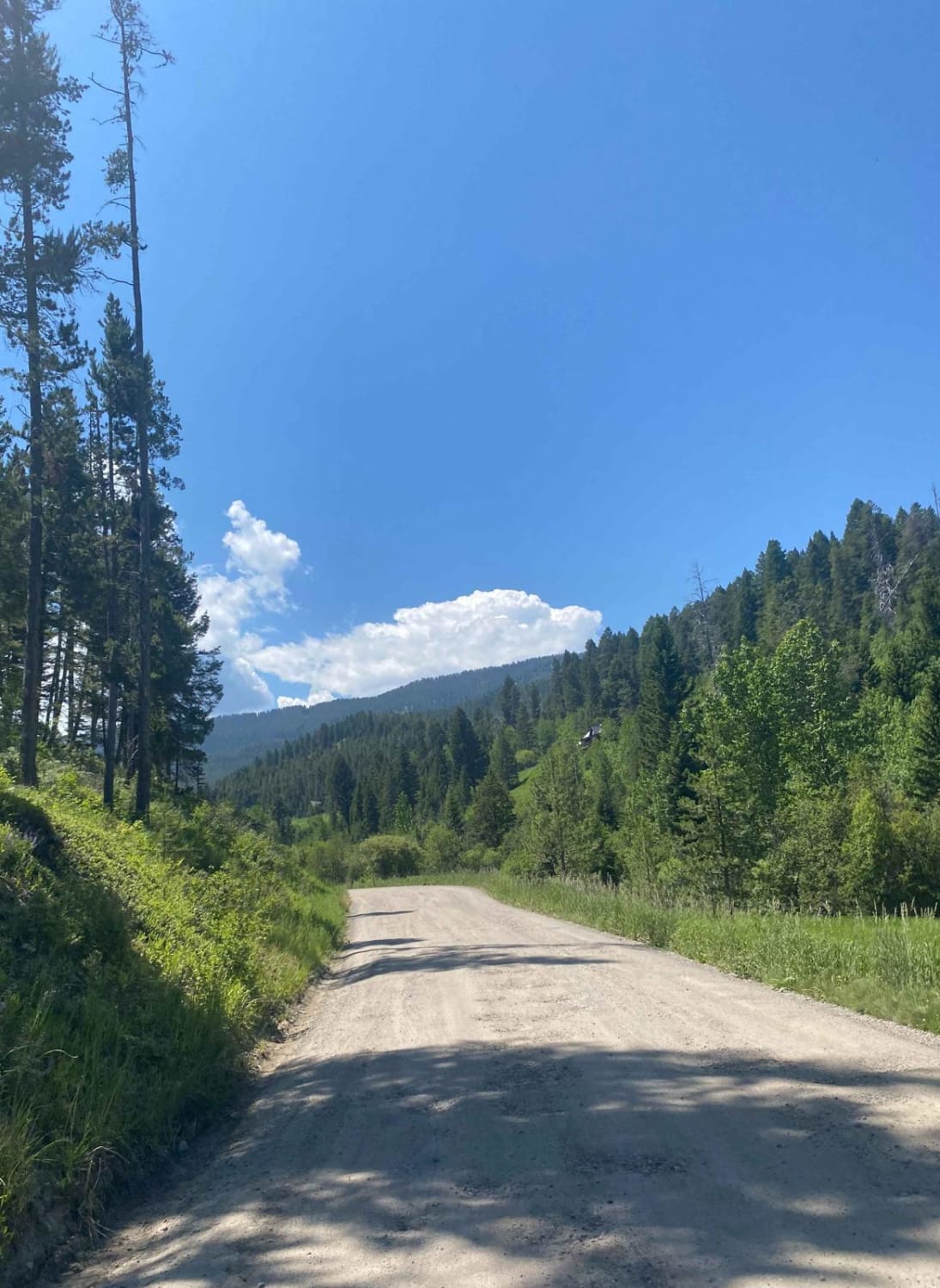
Goose Creek Trailhead
Total Miles
1.9
Tech Rating
Easy
Best Time
Summer, Spring, Fall
Learn more about Granite Creek Road (161/49)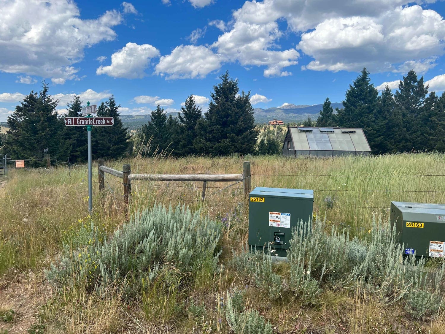
Granite Creek Road (161/49)
Total Miles
11.0
Tech Rating
Easy
Best Time
Spring, Summer, Fall

Learn more about Granite Mine Ghost Town
Granite Mine Ghost Town
Total Miles
3.6
Tech Rating
Easy
Best Time
Summer
Learn more about Granite Ridge Trail 239
Granite Ridge Trail 239
Total Miles
6.5
Tech Rating
Moderate
Best Time
Summer
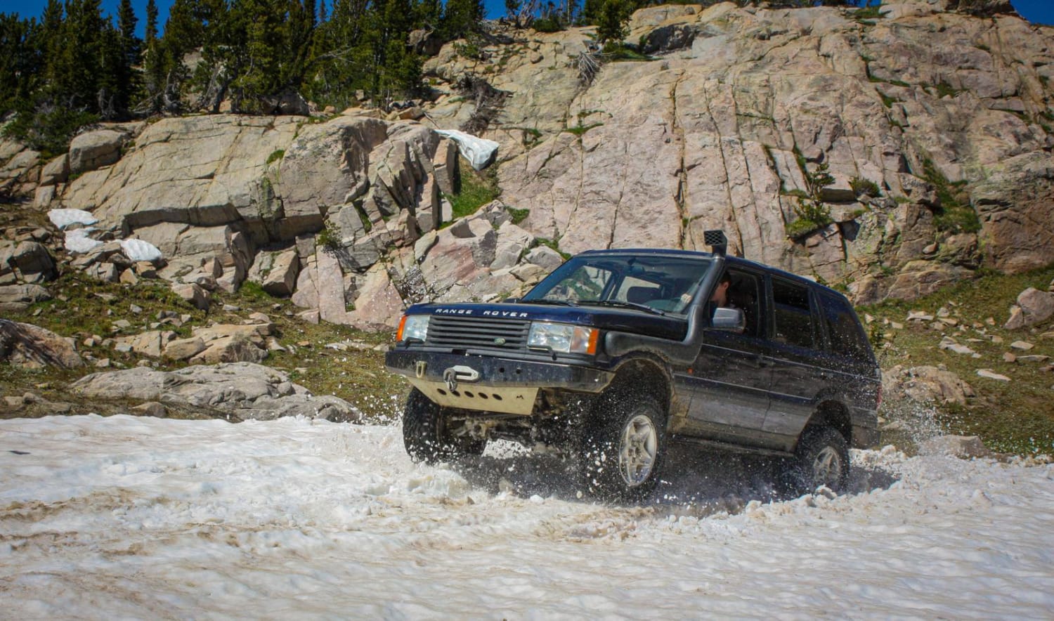
Learn more about Grave Range Jeep Road - Blue Mountain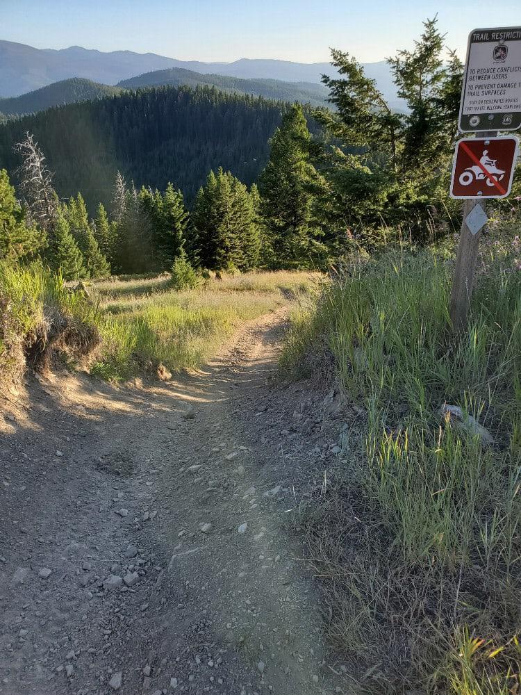
Grave Range Jeep Road - Blue Mountain
Total Miles
13.5
Tech Rating
Moderate
Best Time
Spring, Summer, Fall
Learn more about Gravelly Lake
Gravelly Lake
Total Miles
6.6
Tech Rating
Moderate
Best Time
Spring, Summer, Fall
Learn more about Gravelly Range Road (FS290) (Partial)
Gravelly Range Road (FS290) (Partial)
Total Miles
14.2
Tech Rating
Easy
Best Time
Summer, Fall
Learn more about Gravelly Range South (FS290)
Gravelly Range South (FS290)
Total Miles
21.8
Tech Rating
Easy
Best Time
Summer, Fall
Learn more about Graves Creek Falls/Vermilion 
Graves Creek Falls/Vermilion
Total Miles
5.8
Tech Rating
Easy
Best Time
Spring, Summer, Fall
Learn more about GSVA Route
GSVA Route
Total Miles
31.8
Tech Rating
Moderate
Best Time
Spring, Summer, Fall, Winter
Learn more about Guide Finger Open
Guide Finger Open
Total Miles
1.5
Tech Rating
Moderate
Best Time
Fall, Summer, Spring
ATV trails in Montana
Learn more about $50,000 Silver Dollar Inn - FSR 288
$50,000 Silver Dollar Inn - FSR 288
Total Miles
7.5
Tech Rating
Easy
Best Time
Spring, Summer, Fall
Learn more about 2103 West Fork Gold Creek
2103 West Fork Gold Creek
Total Miles
5.7
Tech Rating
Easy
Best Time
Spring, Summer, Fall, Winter
Learn more about 4W-7736 - Big Flat Trail
4W-7736 - Big Flat Trail
Total Miles
3.6
Tech Rating
Easy
Best Time
Spring, Summer, Fall
Learn more about 4W-7829 - Mink Peak Jeep Trail
4W-7829 - Mink Peak Jeep Trail
Total Miles
4.4
Tech Rating
Easy
Best Time
Spring, Summer, Fall
UTV/side-by-side trails in Montana
Learn more about $50,000 Silver Dollar Inn - FSR 288
$50,000 Silver Dollar Inn - FSR 288
Total Miles
7.5
Tech Rating
Easy
Best Time
Spring, Summer, Fall
Learn more about 2103 West Fork Gold Creek
2103 West Fork Gold Creek
Total Miles
5.7
Tech Rating
Easy
Best Time
Spring, Summer, Fall, Winter
Learn more about 4W-7736 - Big Flat Trail
4W-7736 - Big Flat Trail
Total Miles
3.6
Tech Rating
Easy
Best Time
Spring, Summer, Fall
Learn more about 4W-7829 - Mink Peak Jeep Trail
4W-7829 - Mink Peak Jeep Trail
Total Miles
4.4
Tech Rating
Easy
Best Time
Spring, Summer, Fall
The onX Offroad Difference
onX Offroad combines trail photos, descriptions, difficulty ratings, width restrictions, seasonality, and more in a user-friendly interface. Available on all devices, with offline access and full compatibility with CarPlay and Android Auto. Discover what you’re missing today!