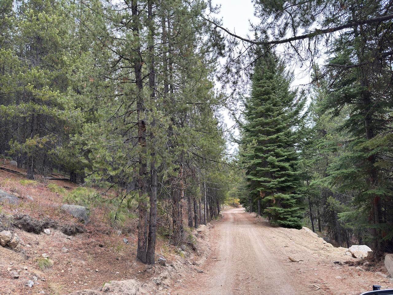
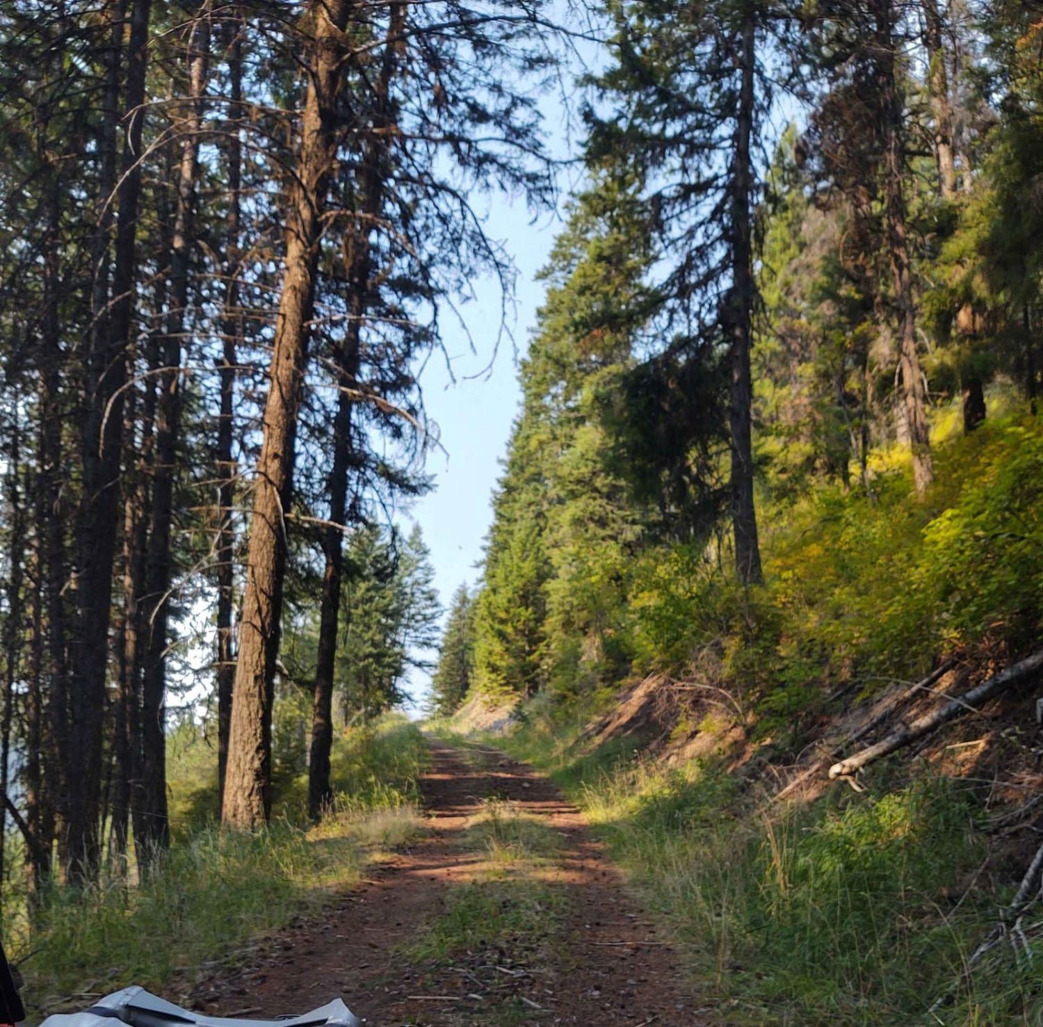
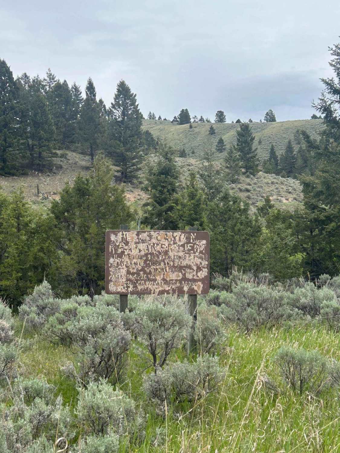
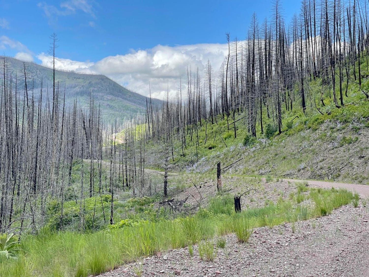
Off-Road Trails in Montana
Discover off-road trails in Montana

Learn more about Desert Mountain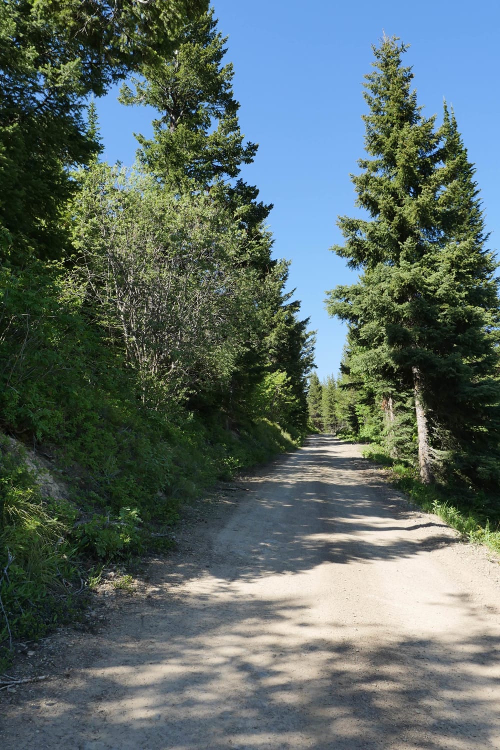
Desert Mountain
Total Miles
8.8
Tech Rating
Easy
Best Time
Spring, Summer, Fall
Learn more about Divide Cutoff Road
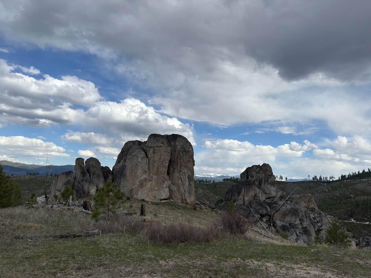
Divide Cutoff Road
Total Miles
4.4
Tech Rating
Easy
Best Time
Spring, Summer, Fall
Learn more about Divide NRT (Ax Park to Butcher Knife) 
Divide NRT (Ax Park to Butcher Knife)
Total Miles
4.5
Tech Rating
Moderate
Best Time
Spring, Summer, Fall
Learn more about Divide NRT (Ditch Creek to Twin Creek Ridge)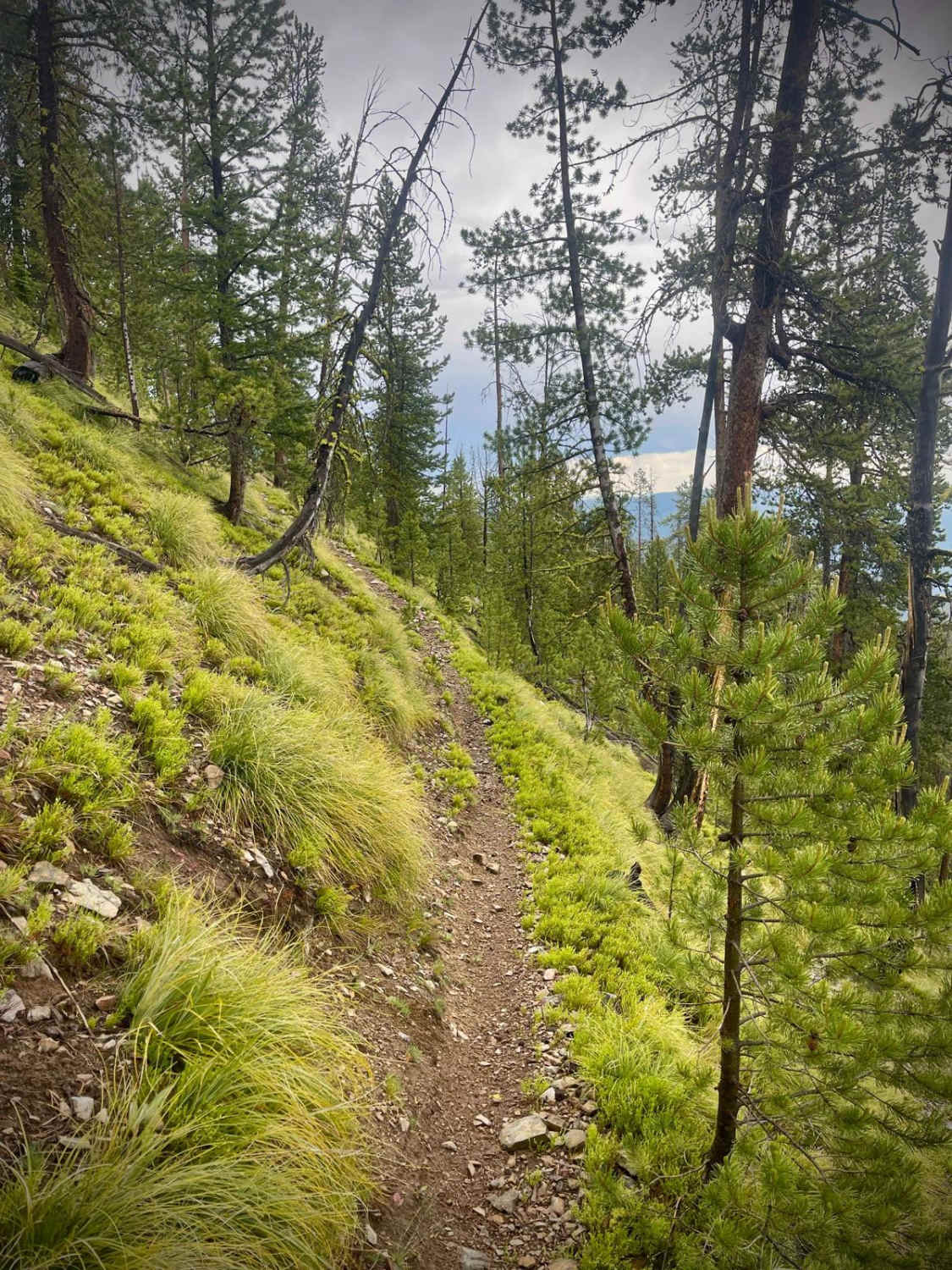
Divide NRT (Ditch Creek to Twin Creek Ridge)
Total Miles
6.1
Tech Rating
Moderate
Best Time
Summer, Fall
Learn more about Double Arrow Lookout Tower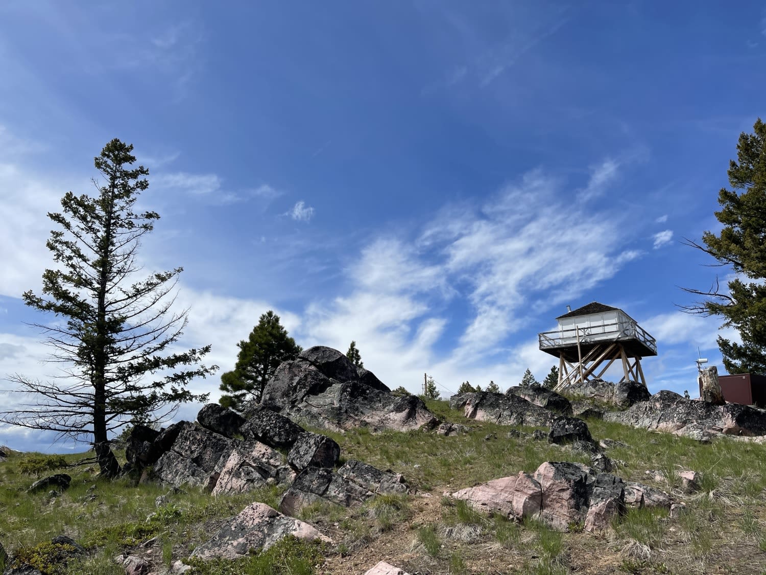
Double Arrow Lookout Tower
Total Miles
1.1
Tech Rating
Easy
Best Time
Fall, Summer, Spring
Learn more about Drop Tube Part 1
Drop Tube Part 1
Total Miles
3.8
Tech Rating
Easy
Best Time
Spring, Summer, Fall
Learn more about Drop Tube Part 2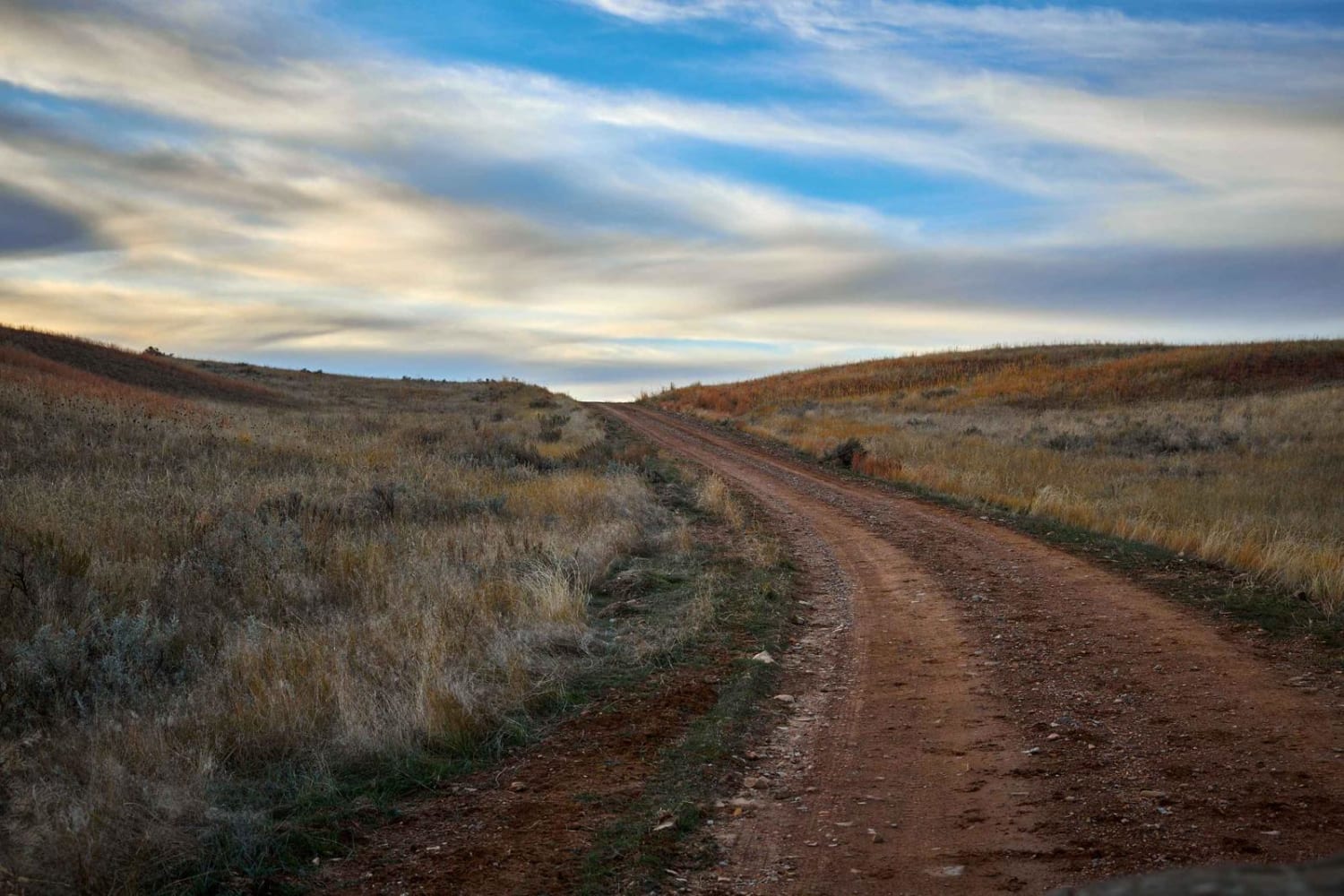
Drop Tube Part 2
Total Miles
1.8
Tech Rating
Easy
Best Time
Spring, Summer, Fall
Learn more about Dry Creek Road
Dry Creek Road
Total Miles
15.0
Tech Rating
Easy
Best Time
Fall, Spring, Summer
Learn more about Eagle Nest River Access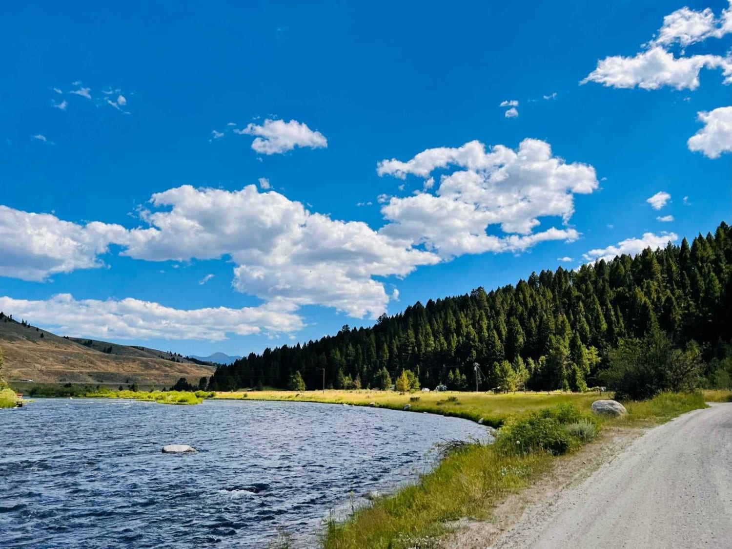
Eagle Nest River Access
Total Miles
1.9
Tech Rating
Easy
Best Time
Fall, Summer, Spring
Learn more about East Basin Road CW 2078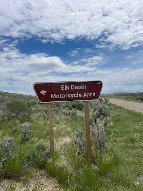
East Basin Road CW 2078
Total Miles
5.0
Tech Rating
Easy
Best Time
Spring, Summer, Fall
Learn more about East Bench (FS 8378)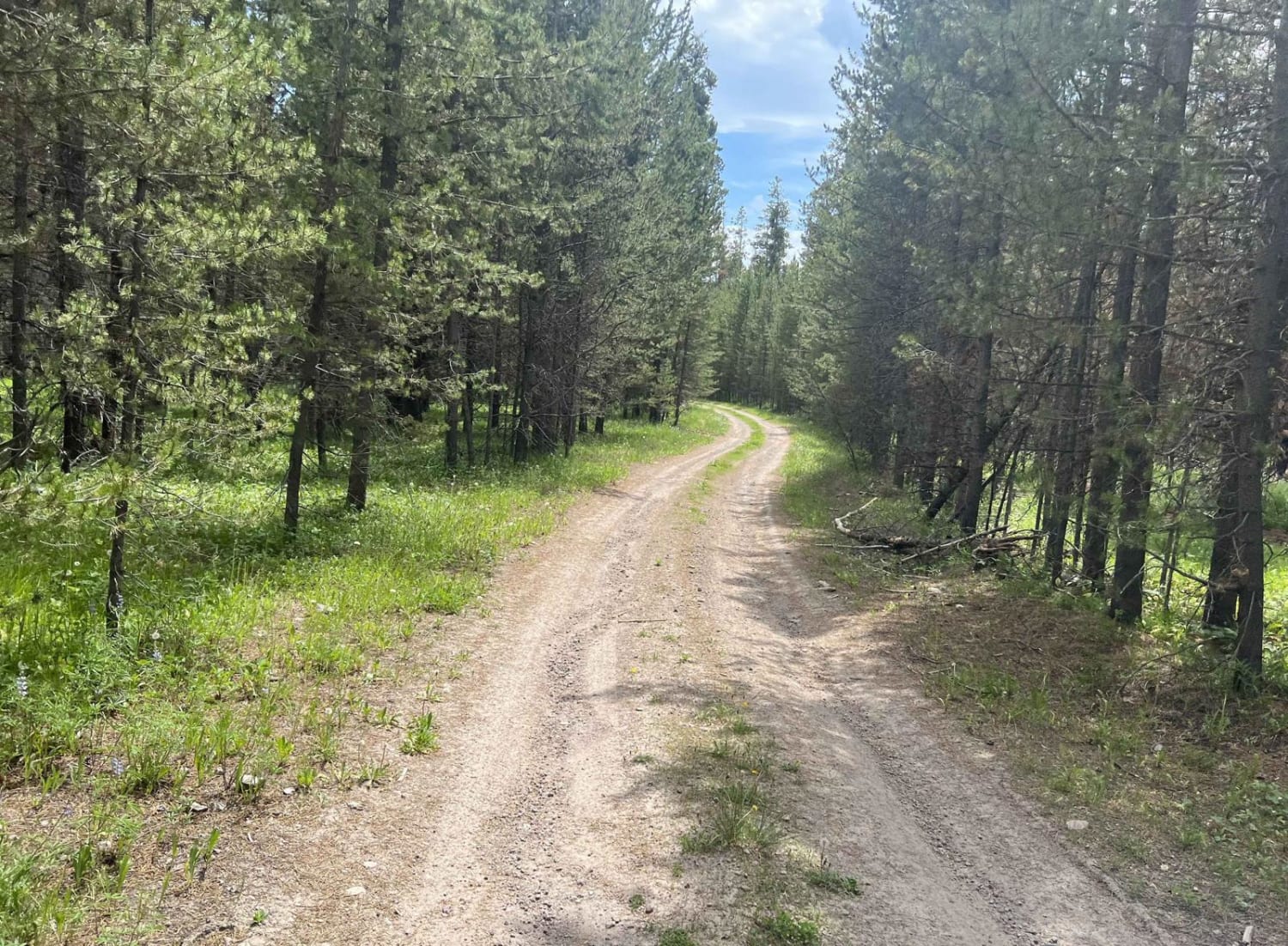
East Bench (FS 8378)
Total Miles
4.1
Tech Rating
Easy
Best Time
Summer, Fall
Learn more about East Fork Bertie Lord
East Fork Bertie Lord
Total Miles
0.6
Tech Rating
Easy
Best Time
Summer, Fall, Spring
Learn more about East Fork Rattlesnake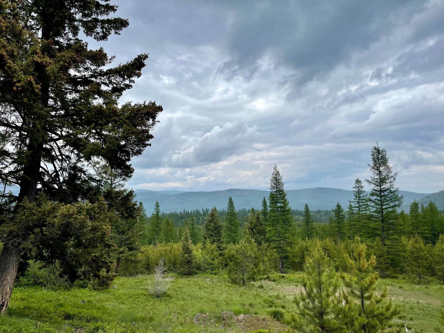
East Fork Rattlesnake
Total Miles
7.3
Tech Rating
Easy
Best Time
Summer, Fall
Learn more about East Fork Reservoir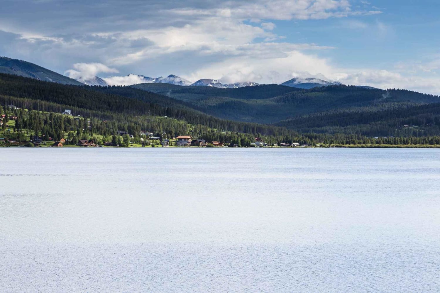
East Fork Reservoir
Total Miles
16.2
Tech Rating
Easy
Best Time
Summer, Fall, Spring
ATV trails in Montana
Learn more about $50,000 Silver Dollar Inn - FSR 288
$50,000 Silver Dollar Inn - FSR 288
Total Miles
7.5
Tech Rating
Easy
Best Time
Spring, Summer, Fall
Learn more about 2103 West Fork Gold Creek
2103 West Fork Gold Creek
Total Miles
5.7
Tech Rating
Easy
Best Time
Spring, Summer, Fall, Winter
Learn more about 4W-7736 - Big Flat Trail
4W-7736 - Big Flat Trail
Total Miles
3.6
Tech Rating
Easy
Best Time
Spring, Summer, Fall
Learn more about 4W-7829 - Mink Peak Jeep Trail
4W-7829 - Mink Peak Jeep Trail
Total Miles
4.4
Tech Rating
Easy
Best Time
Spring, Summer, Fall
UTV/side-by-side trails in Montana
Learn more about $50,000 Silver Dollar Inn - FSR 288
$50,000 Silver Dollar Inn - FSR 288
Total Miles
7.5
Tech Rating
Easy
Best Time
Spring, Summer, Fall
Learn more about 2103 West Fork Gold Creek
2103 West Fork Gold Creek
Total Miles
5.7
Tech Rating
Easy
Best Time
Spring, Summer, Fall, Winter
Learn more about 4W-7736 - Big Flat Trail
4W-7736 - Big Flat Trail
Total Miles
3.6
Tech Rating
Easy
Best Time
Spring, Summer, Fall
Learn more about 4W-7829 - Mink Peak Jeep Trail
4W-7829 - Mink Peak Jeep Trail
Total Miles
4.4
Tech Rating
Easy
Best Time
Spring, Summer, Fall
The onX Offroad Difference
onX Offroad combines trail photos, descriptions, difficulty ratings, width restrictions, seasonality, and more in a user-friendly interface. Available on all devices, with offline access and full compatibility with CarPlay and Android Auto. Discover what you’re missing today!