Devil's Canyon
Total Miles
15.6
Technical Rating
Best Time
Fall, Summer
Trail Type
Full-Width Road
Accessible By
Trail Overview
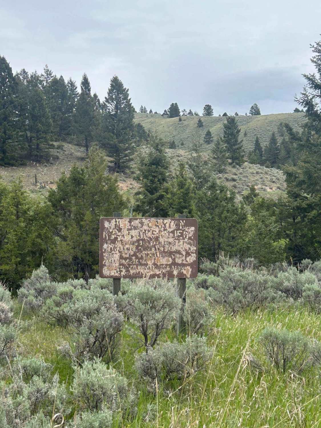
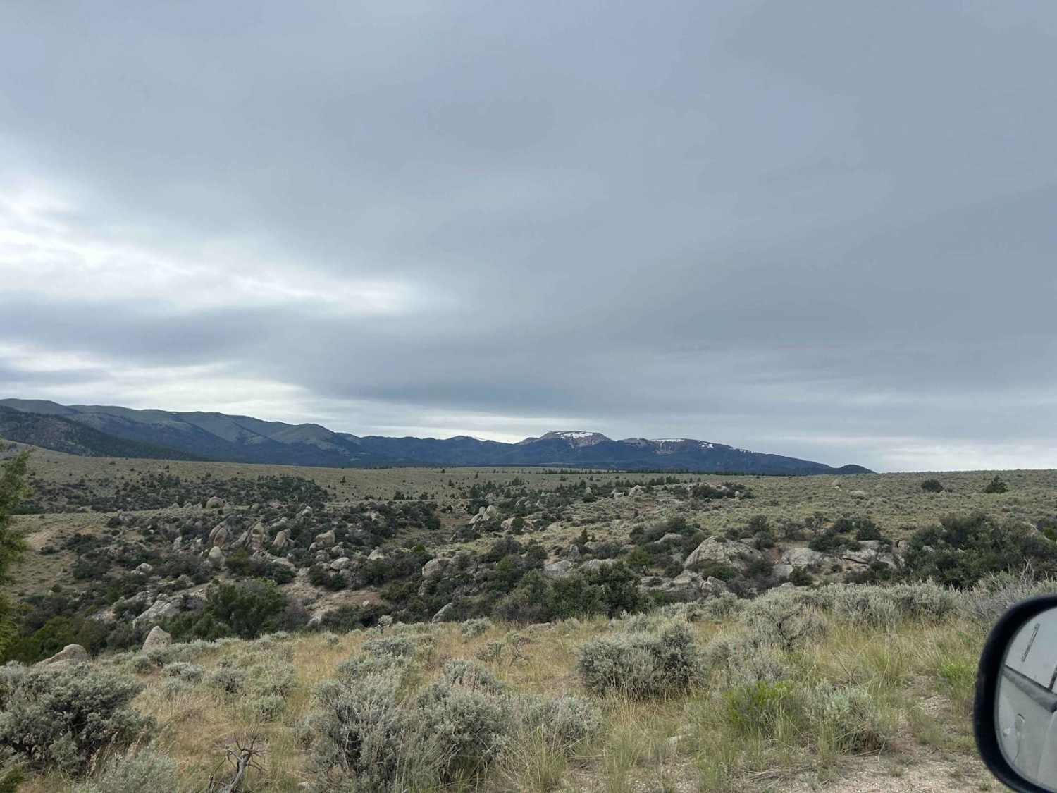
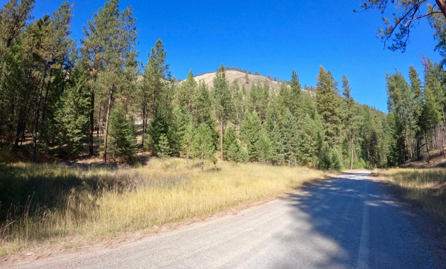
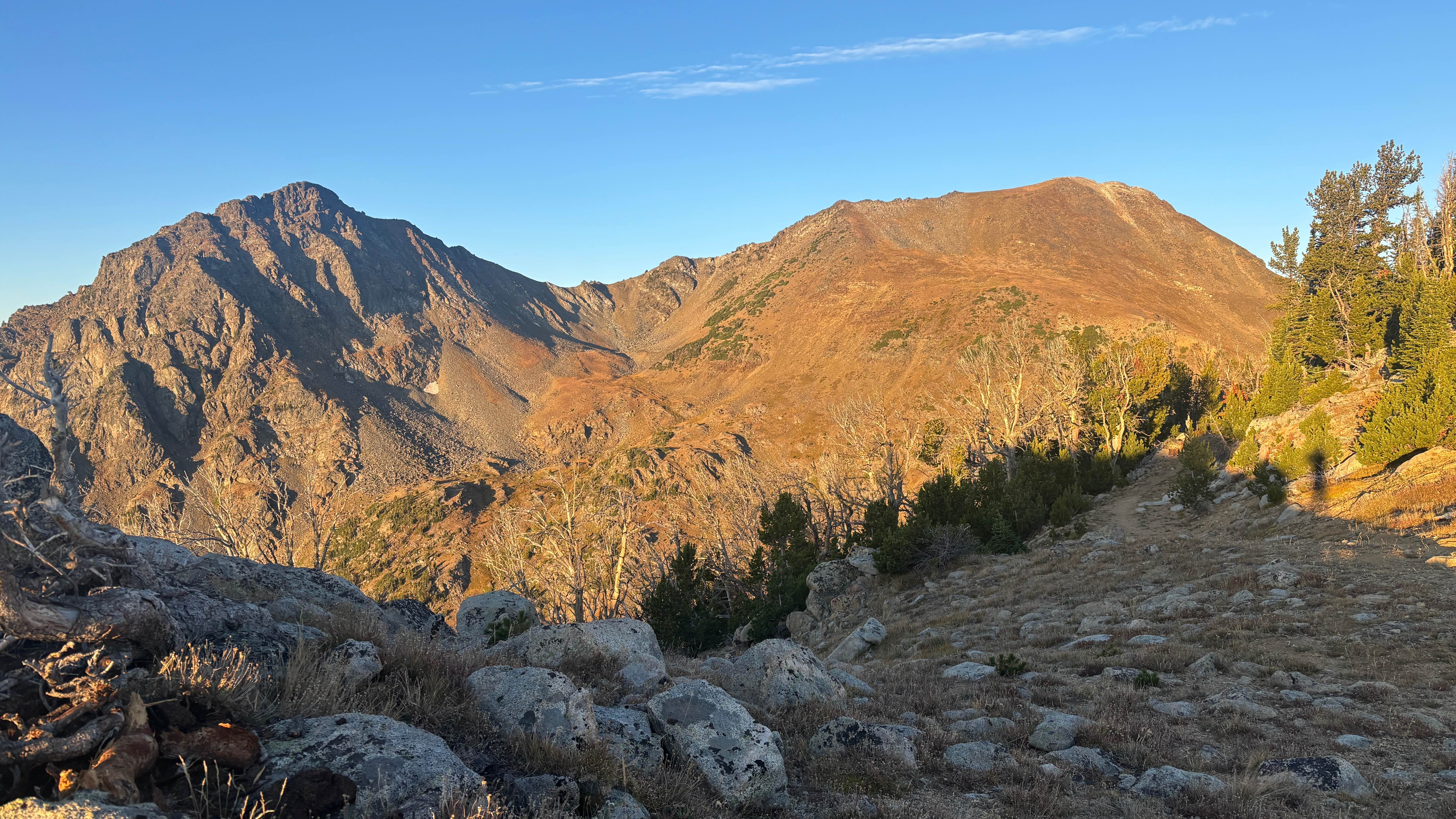
A popular fishing spot at the beginning of the road, it passes through many private plots of land and leads into National Forest and BLM land. There are a couple of camping spots along the trail and it's popular among locals. The road starts and ends along Devils Canyon Creek. The end of the road becomes a hiking trail and there is a cabin at the end to stay in.
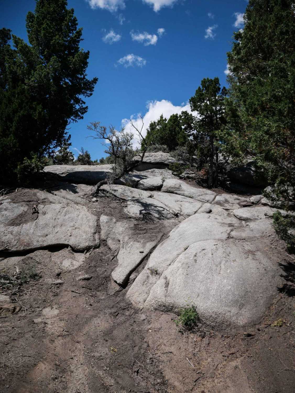
Photos of Devil's Canyon
Difficulty
This road is generally pretty flat with minor bumps due to the path of water. There are a couple of ledges of about 6 inches.
Status Reports
Devil's Canyon can be accessed by the following ride types:
- High-Clearance 4x4
- SUV
- SxS (60")
- ATV (50")
- Dirt Bike
Devil's Canyon Map
Popular Trails
Sloway Gulch Road-Keystone Peak
Blaine Mountain Road

Dry Creek Road
The onX Offroad Difference
onX Offroad combines trail photos, descriptions, difficulty ratings, width restrictions, seasonality, and more in a user-friendly interface. Available on all devices, with offline access and full compatibility with CarPlay and Android Auto. Discover what you’re missing today!