Sloway Gulch Road-Keystone Peak
Total Miles
15.1
Technical Rating
Best Time
Spring, Summer, Fall
Trail Type
Full-Width Road
Accessible By
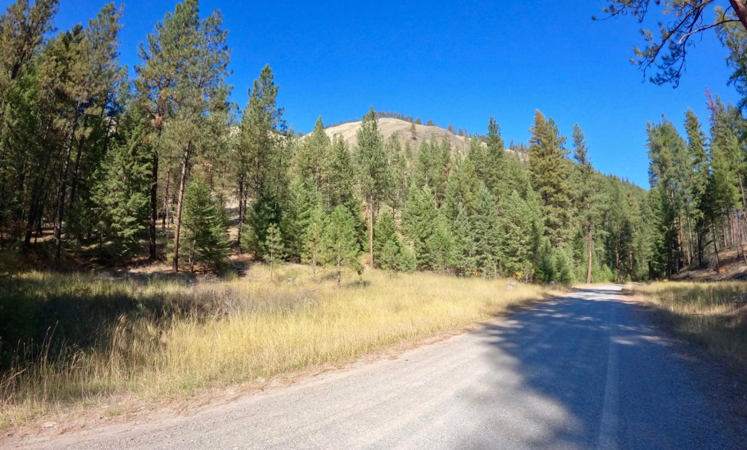
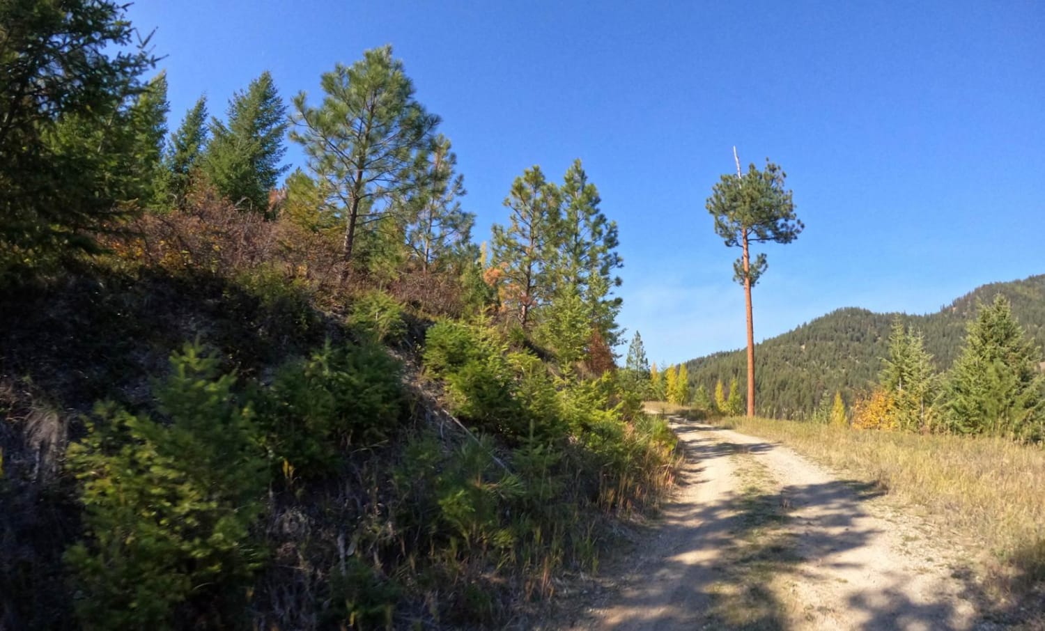
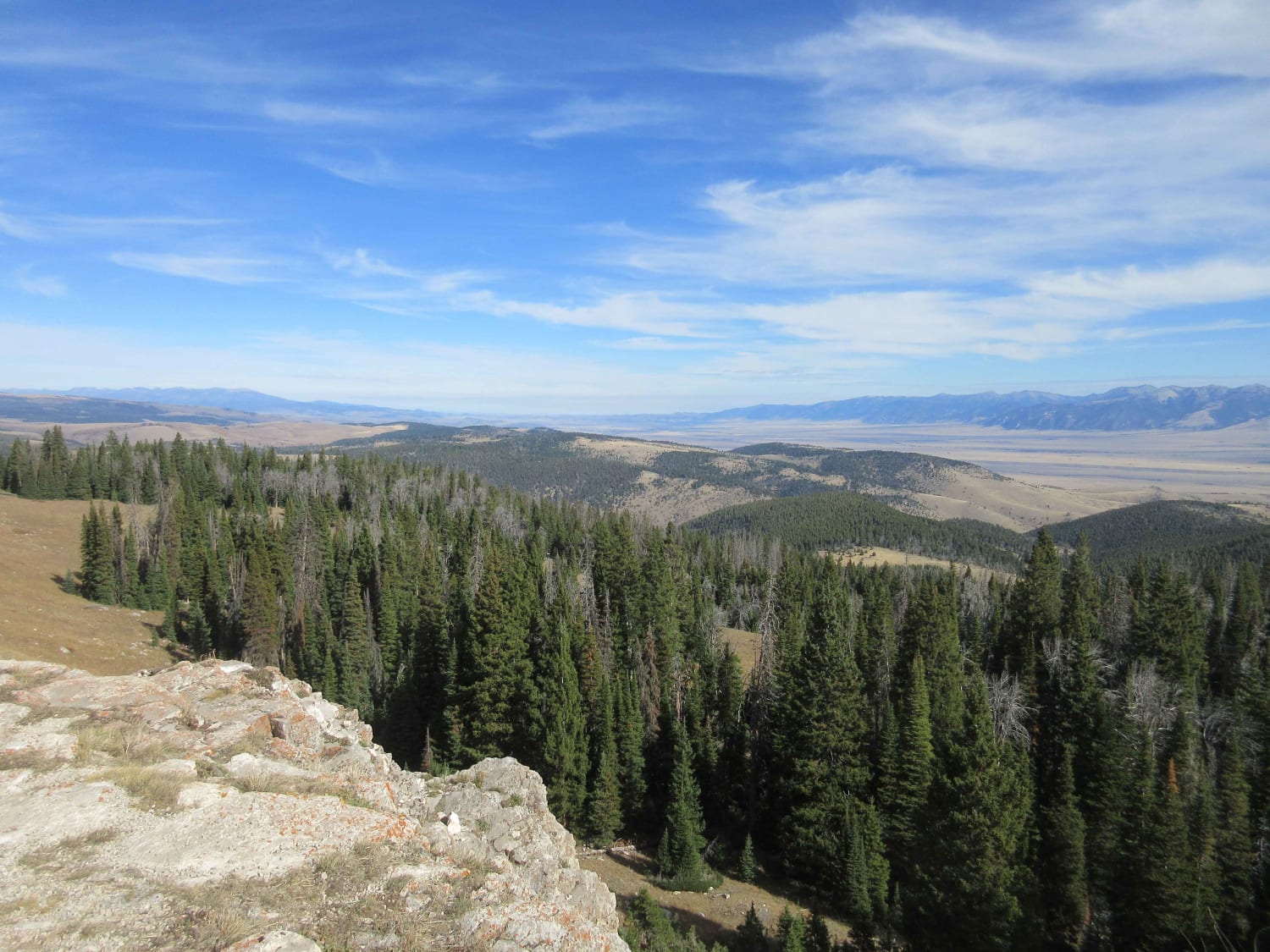
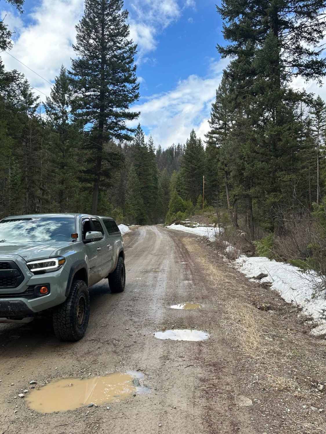
Trail Overview
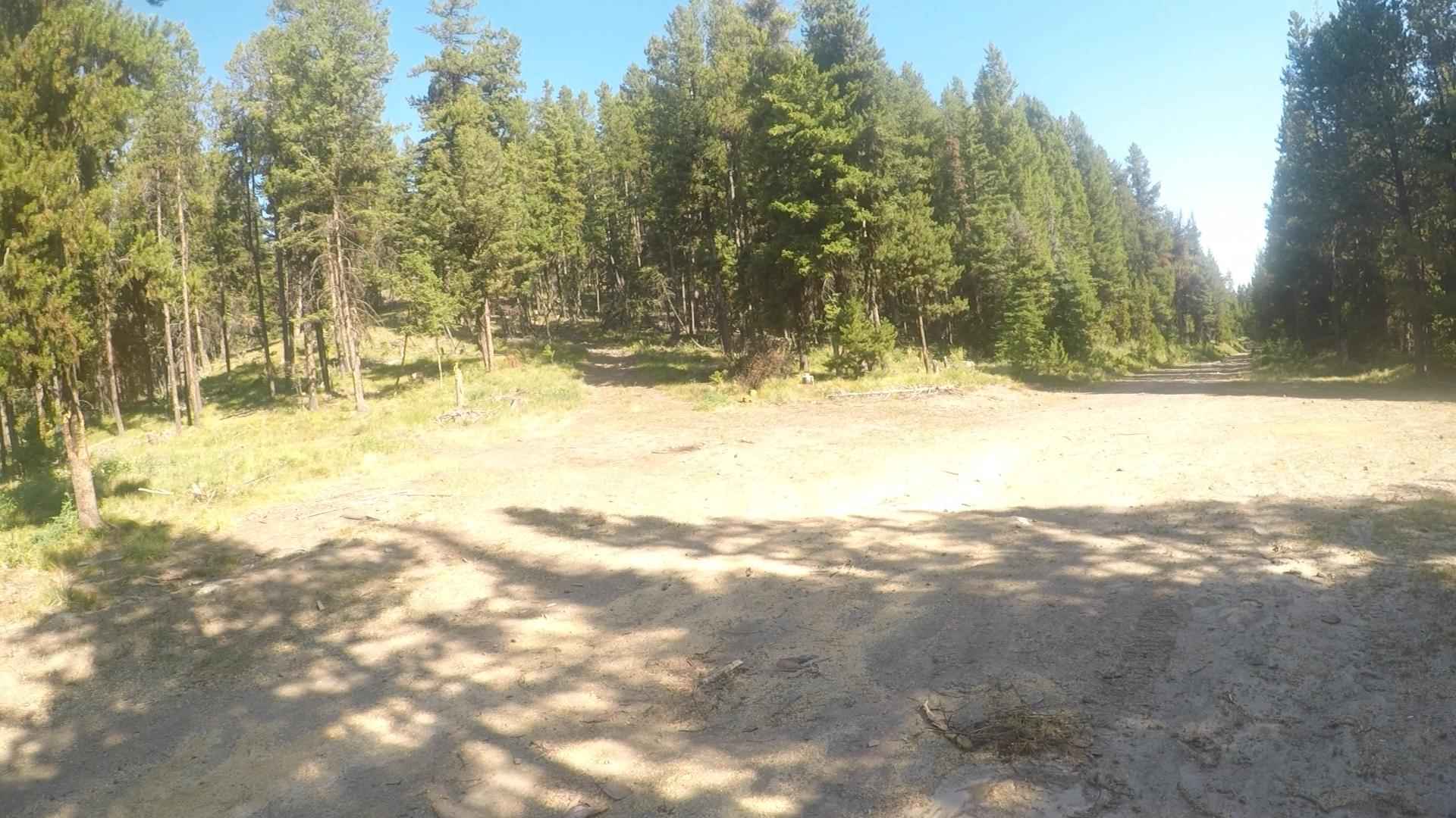
The route is mainly two-lane gravel, but there are narrow parts where it would be hard to pass another vehicle. The route is a gradual climb from 2,600 to 5,800 feet. There are sharp blind curves along the route with steep embankments. Cell service is limited in parts of the route, and traffic along the route is slim. You might find berry pickers along the route at certain times of the year. The route can be very scenic with the fall foliage.
Photos of Sloway Gulch Road-Keystone Peak
Difficulty
Sharp blind curves with steep embankments can be encountered. The road can be narrow with not much passing room in places.
Status Reports
Sloway Gulch Road-Keystone Peak can be accessed by the following ride types:
- High-Clearance 4x4
- SUV
- SxS (60")
- ATV (50")
- Dirt Bike
Sloway Gulch Road-Keystone Peak Map
Popular Trails
Johnny Ridge Road - FS324

Moto St Downhill
The onX Offroad Difference
onX Offroad combines trail photos, descriptions, difficulty ratings, width restrictions, seasonality, and more in a user-friendly interface. Available on all devices, with offline access and full compatibility with CarPlay and Android Auto. Discover what you’re missing today!