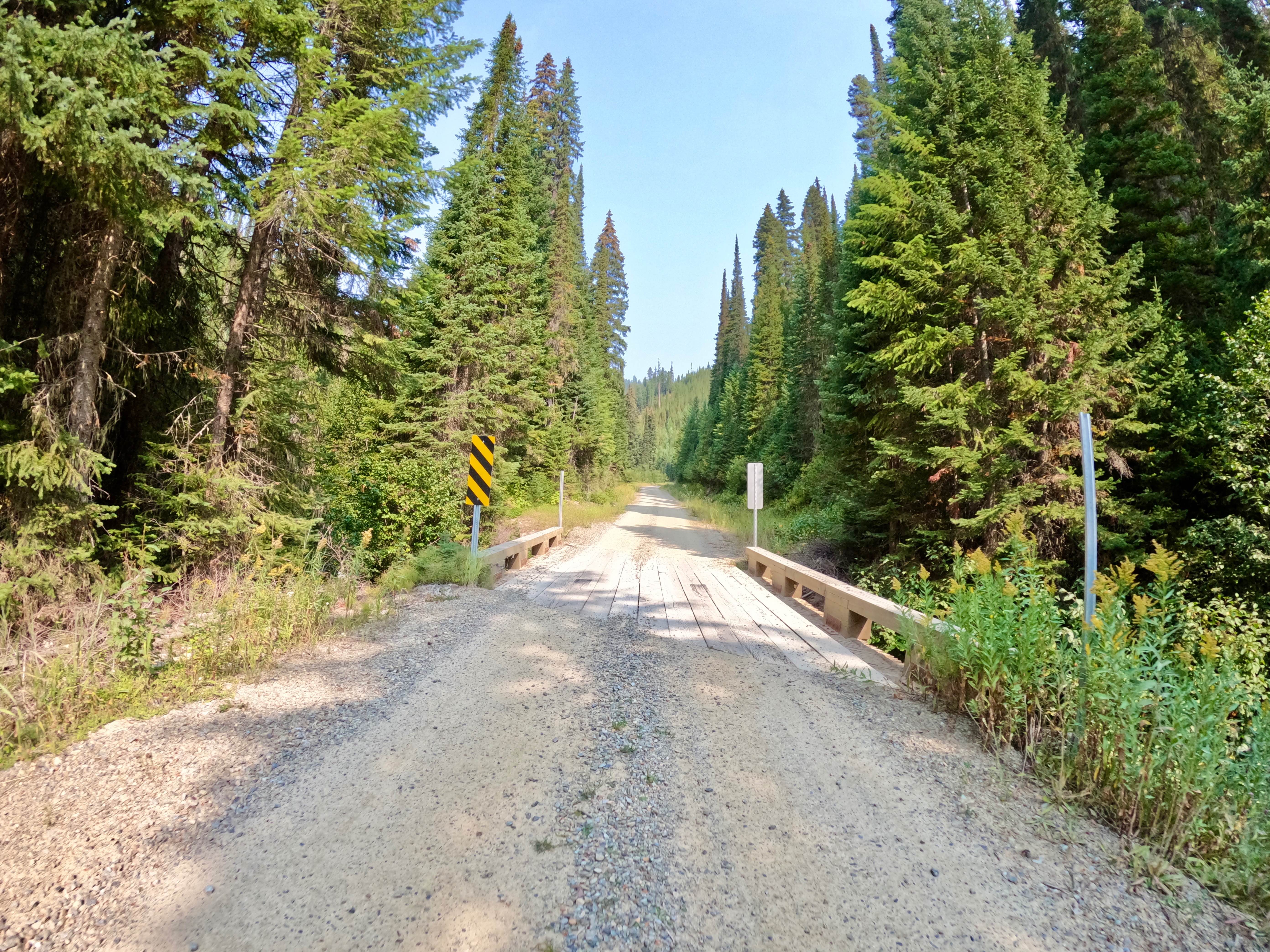
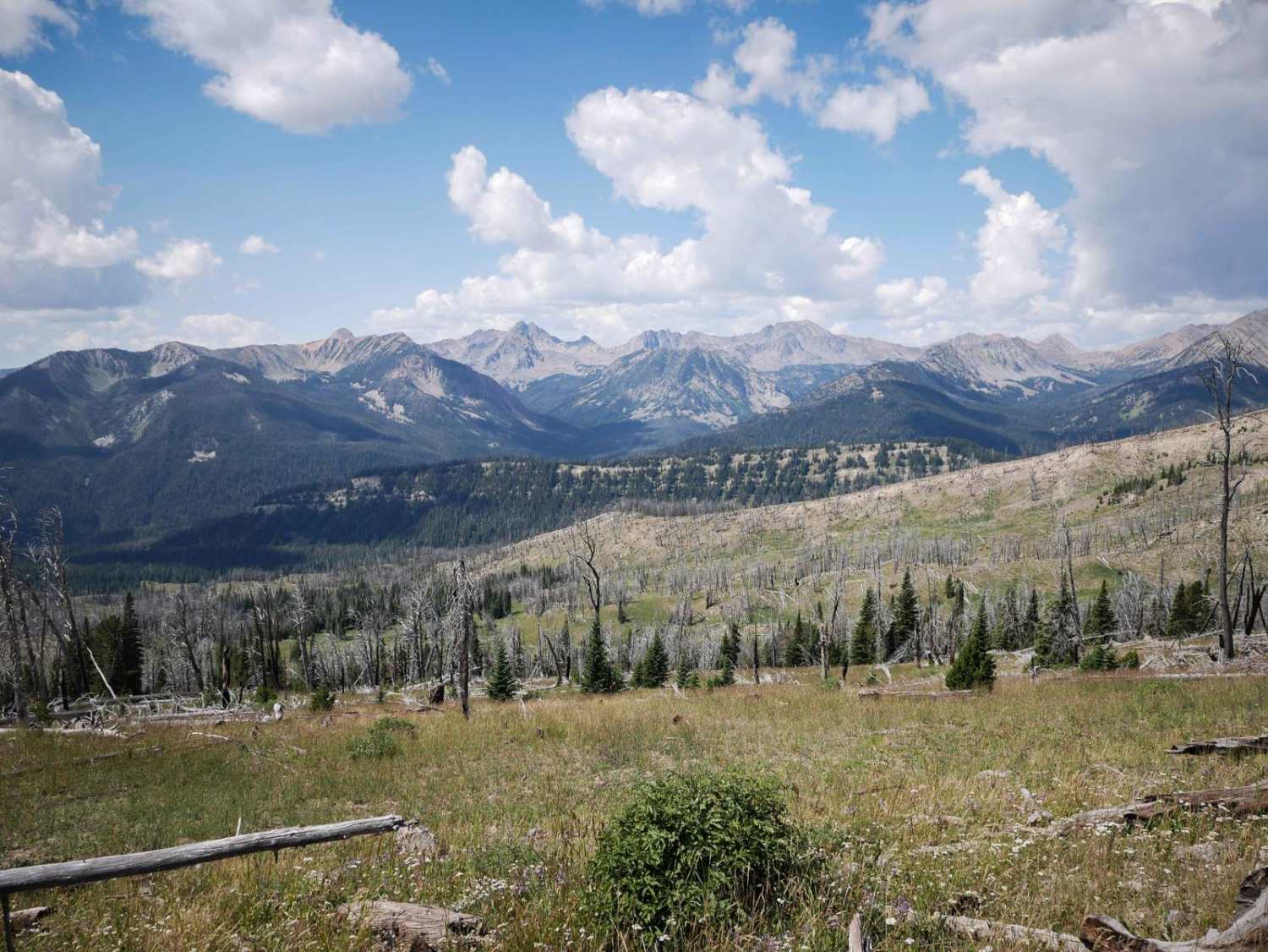
Off-Road Trails in Montana
Discover off-road trails in Montana
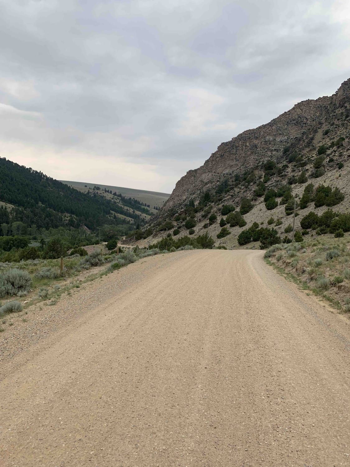
Learn more about Buttermilk Creek Trail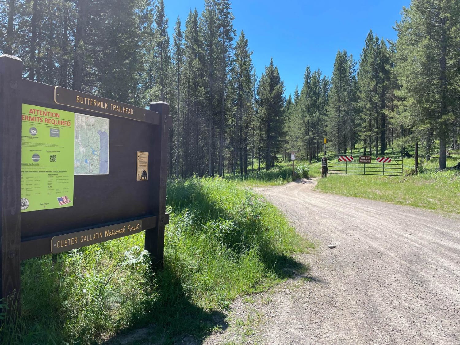
Buttermilk Creek Trail
Total Miles
2.8
Tech Rating
Easy
Best Time
Summer, Fall
Learn more about Cabin Creek Cabin 
Cabin Creek Cabin
Total Miles
0.5
Tech Rating
Easy
Best Time
Summer, Fall
Learn more about Camels Hump - FS 3800
Camels Hump - FS 3800
Total Miles
7.2
Tech Rating
Easy
Best Time
Summer
Learn more about Canyon ATV Trail 
Canyon ATV Trail
Total Miles
1.5
Tech Rating
Easy
Best Time
Spring, Summer, Fall
Learn more about Canyon Creek - Quartz Hill
Canyon Creek - Quartz Hill
Total Miles
23.2
Tech Rating
Easy
Best Time
Summer, Fall
Learn more about Canyon Creek (3816)-Cromie Creek (236)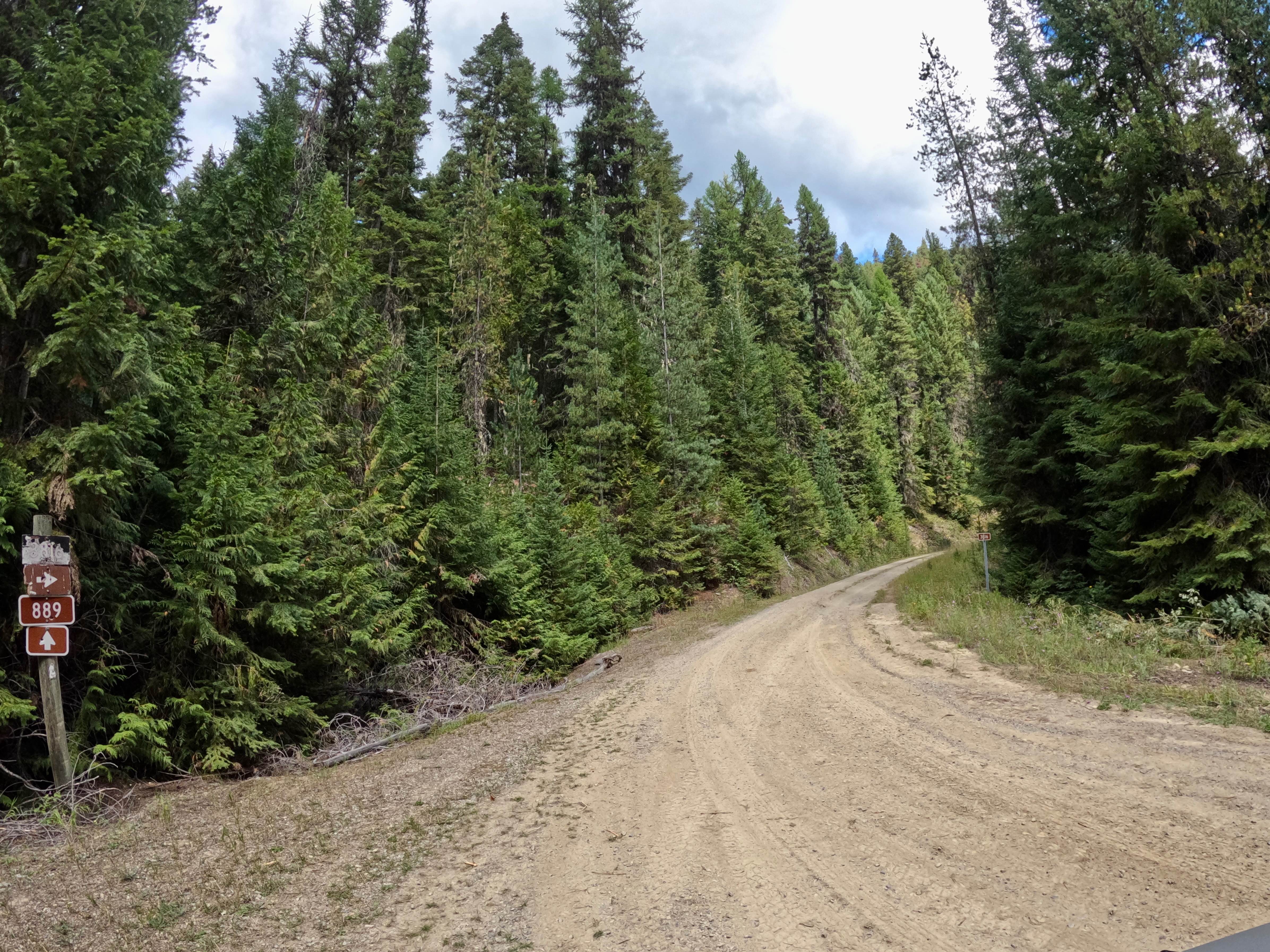
Canyon Creek (3816)-Cromie Creek (236)
Total Miles
19.8
Tech Rating
Easy
Best Time
Spring, Summer, Fall
Learn more about Canyon Creek Trail
Canyon Creek Trail
Total Miles
3.4
Tech Rating
Easy
Best Time
Summer, Fall
Learn more about Cattle Drive to Bear Gulch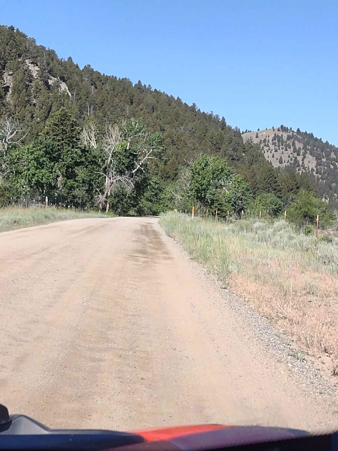
Cattle Drive to Bear Gulch
Total Miles
12.6
Tech Rating
Easy
Best Time
Spring, Summer, Fall
Learn more about Cedar Creek Road - Oregon Lakes 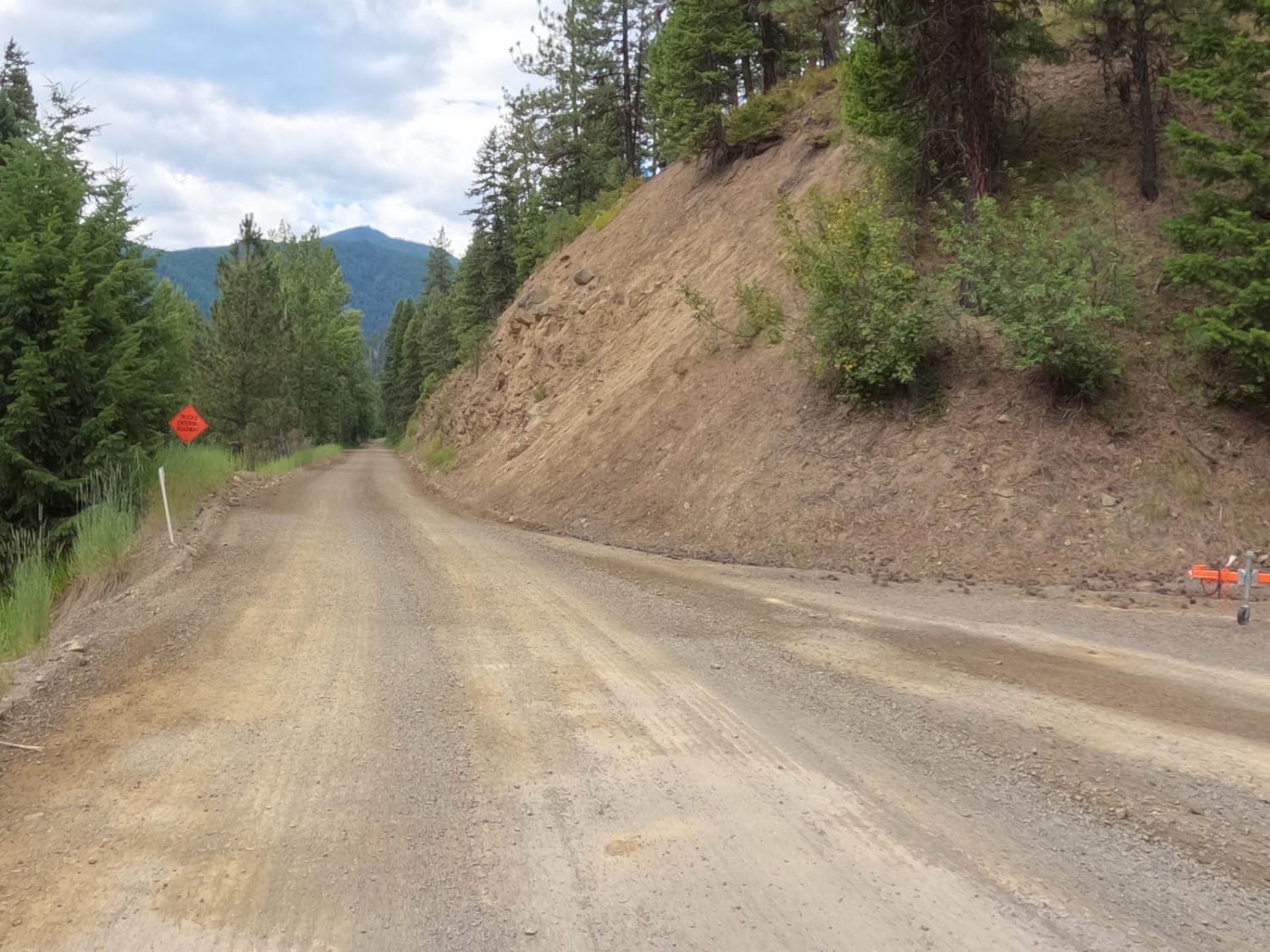
Cedar Creek Road - Oregon Lakes
Total Miles
18.1
Tech Rating
Easy
Best Time
Spring, Summer, Fall, Winter
Learn more about Cedar Ridge NF-1690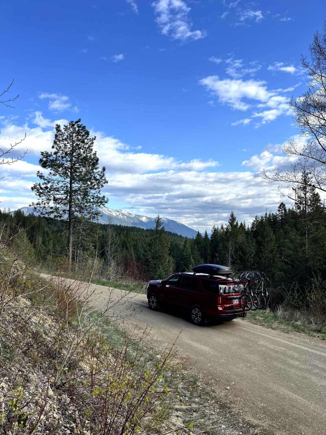
Cedar Ridge NF-1690
Total Miles
3.9
Tech Rating
Easy
Best Time
Spring, Summer, Fall
Learn more about Cedar Run Ridge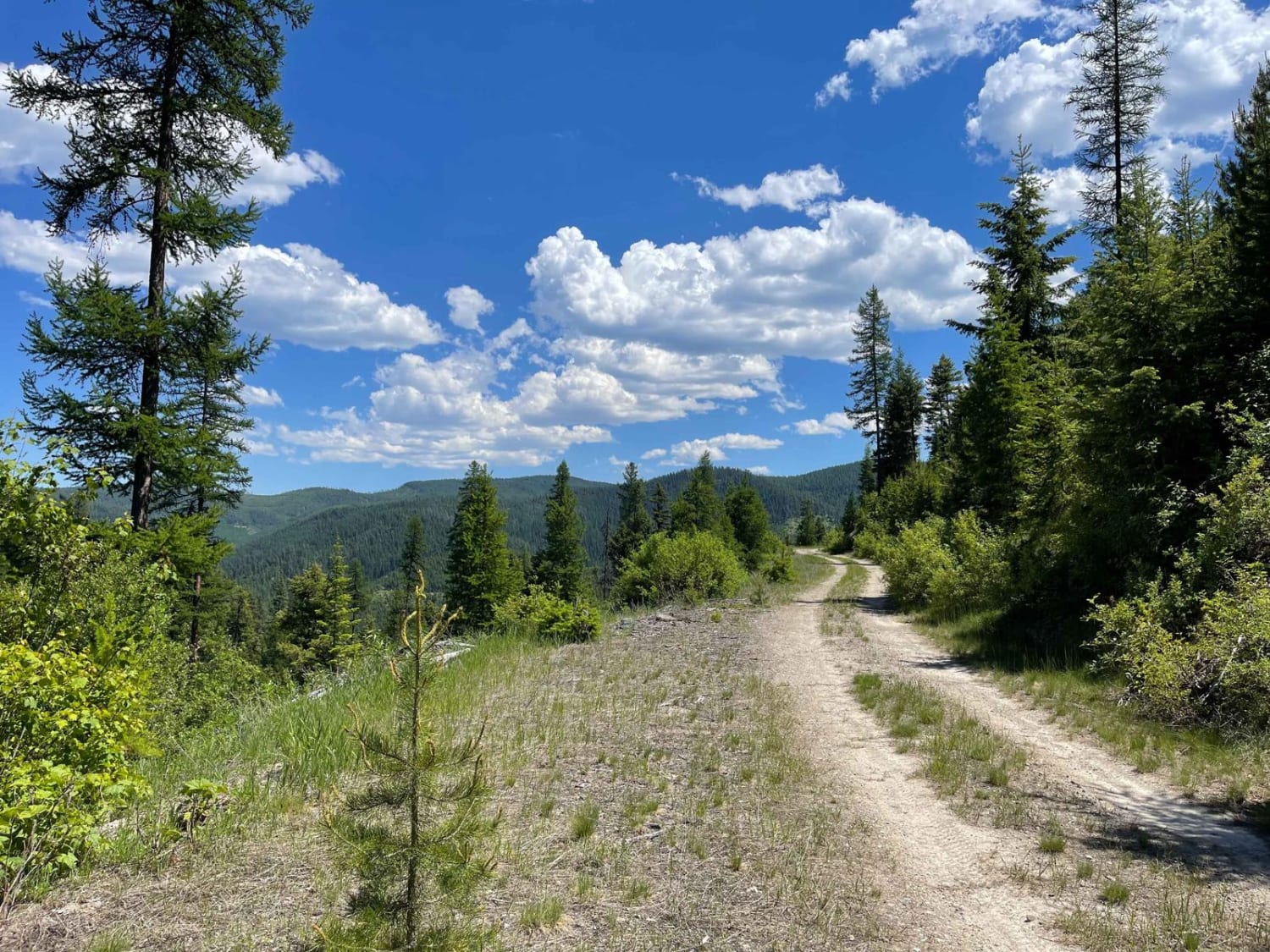
Cedar Run Ridge
Total Miles
13.1
Tech Rating
Easy
Best Time
Fall, Summer, Spring
ATV trails in Montana
Learn more about $50,000 Silver Dollar Inn - FSR 288
$50,000 Silver Dollar Inn - FSR 288
Total Miles
7.5
Tech Rating
Easy
Best Time
Spring, Summer, Fall
Learn more about 2103 West Fork Gold Creek
2103 West Fork Gold Creek
Total Miles
5.7
Tech Rating
Easy
Best Time
Spring, Summer, Fall, Winter
Learn more about 4W-7736 - Big Flat Trail
4W-7736 - Big Flat Trail
Total Miles
3.6
Tech Rating
Easy
Best Time
Spring, Summer, Fall
Learn more about 4W-7829 - Mink Peak Jeep Trail
4W-7829 - Mink Peak Jeep Trail
Total Miles
4.4
Tech Rating
Easy
Best Time
Spring, Summer, Fall
UTV/side-by-side trails in Montana
Learn more about $50,000 Silver Dollar Inn - FSR 288
$50,000 Silver Dollar Inn - FSR 288
Total Miles
7.5
Tech Rating
Easy
Best Time
Spring, Summer, Fall
Learn more about 2103 West Fork Gold Creek
2103 West Fork Gold Creek
Total Miles
5.7
Tech Rating
Easy
Best Time
Spring, Summer, Fall, Winter
Learn more about 4W-7736 - Big Flat Trail
4W-7736 - Big Flat Trail
Total Miles
3.6
Tech Rating
Easy
Best Time
Spring, Summer, Fall
Learn more about 4W-7829 - Mink Peak Jeep Trail
4W-7829 - Mink Peak Jeep Trail
Total Miles
4.4
Tech Rating
Easy
Best Time
Spring, Summer, Fall
The onX Offroad Difference
onX Offroad combines trail photos, descriptions, difficulty ratings, width restrictions, seasonality, and more in a user-friendly interface. Available on all devices, with offline access and full compatibility with CarPlay and Android Auto. Discover what you’re missing today!