Off-Road Trails in Montana
Discover off-road trails in Montana
Learn more about Bishop Park Connector 
Bishop Park Connector
Total Miles
0.4
Tech Rating
Easy
Best Time
Summer, Fall
Learn more about Bison Mountain
Bison Mountain
Total Miles
3.7
Tech Rating
Easy
Best Time
Spring, Summer, Fall
Learn more about Bitterroot-Big Hole
Bitterroot-Big Hole
Total Miles
17.3
Tech Rating
Easy
Best Time
Summer, Fall
Learn more about Black Bear Point
Black Bear Point
Total Miles
1.7
Tech Rating
Moderate
Best Time
Fall, Summer, Spring
Learn more about Black Canyon Ridge Road
Black Canyon Ridge Road
Total Miles
11.5
Tech Rating
Easy
Best Time
Spring, Summer, Fall
Learn more about Blackfoot Mine Loop
Blackfoot Mine Loop
Total Miles
3.8
Tech Rating
Easy
Best Time
Spring, Summer, Fall
Learn more about Blacktail ATV Trail
Blacktail ATV Trail
Total Miles
0.9
Tech Rating
Moderate
Best Time
Spring, Summer, Fall
Learn more about Blacktail Point Road
Blacktail Point Road
Total Miles
3.2
Tech Rating
Easy
Best Time
Spring, Summer, Fall
Learn more about Blacktail Wild Bill OHV
Blacktail Wild Bill OHV
Total Miles
5.6
Tech Rating
Moderate
Best Time
Spring, Summer, Fall
Learn more about Blacktail Wild Bill OHV Trail
Blacktail Wild Bill OHV Trail
Total Miles
19.9
Tech Rating
Easy
Best Time
Spring, Summer
Learn more about Blaine Mountain Road
Blaine Mountain Road
Total Miles
3.8
Tech Rating
Moderate
Best Time
Summer, Fall
Learn more about Blizard Hill
Blizard Hill
Total Miles
0.9
Tech Rating
Easy
Best Time
Spring, Summer, Fall, Winter

Learn more about BLM 16 (Pipestone Exit Trail) 
BLM 16 (Pipestone Exit Trail)
Total Miles
2.5
Tech Rating
Moderate
Best Time
Spring, Fall, Summer
Learn more about BLM 1837 / FS 70107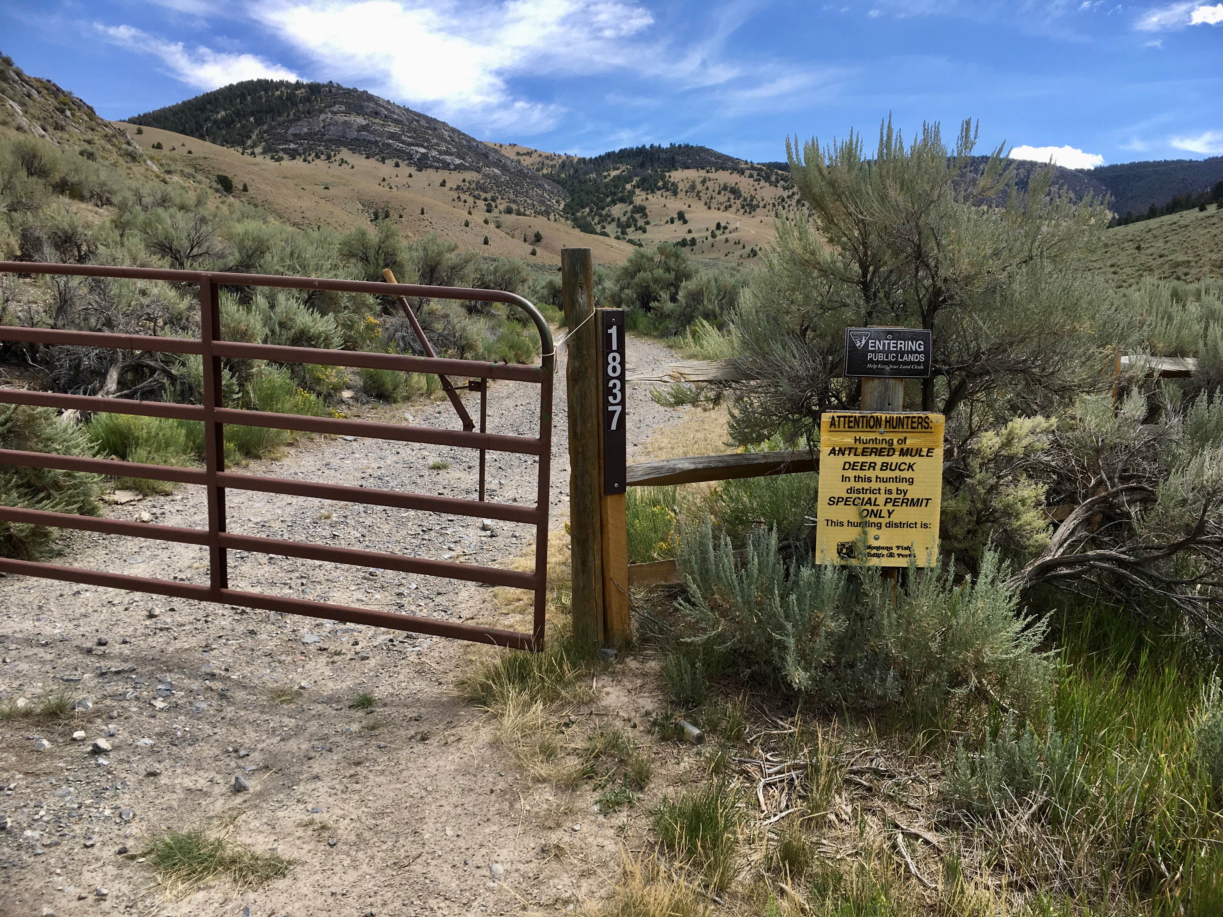
BLM 1837 / FS 70107
Total Miles
2.7
Tech Rating
Moderate
Best Time
Spring, Summer, Fall
ATV trails in Montana
Learn more about $50,000 Silver Dollar Inn - FSR 288
$50,000 Silver Dollar Inn - FSR 288
Total Miles
7.5
Tech Rating
Easy
Best Time
Spring, Summer, Fall
Learn more about 2103 West Fork Gold Creek
2103 West Fork Gold Creek
Total Miles
5.7
Tech Rating
Easy
Best Time
Spring, Summer, Fall, Winter
Learn more about 4W-7736 - Big Flat Trail
4W-7736 - Big Flat Trail
Total Miles
3.6
Tech Rating
Easy
Best Time
Spring, Summer, Fall
Learn more about 4W-7829 - Mink Peak Jeep Trail
4W-7829 - Mink Peak Jeep Trail
Total Miles
4.4
Tech Rating
Easy
Best Time
Spring, Summer, Fall
UTV/side-by-side trails in Montana
Learn more about $50,000 Silver Dollar Inn - FSR 288
$50,000 Silver Dollar Inn - FSR 288
Total Miles
7.5
Tech Rating
Easy
Best Time
Spring, Summer, Fall
Learn more about 2103 West Fork Gold Creek
2103 West Fork Gold Creek
Total Miles
5.7
Tech Rating
Easy
Best Time
Spring, Summer, Fall, Winter
Learn more about 4W-7736 - Big Flat Trail
4W-7736 - Big Flat Trail
Total Miles
3.6
Tech Rating
Easy
Best Time
Spring, Summer, Fall
Learn more about 4W-7829 - Mink Peak Jeep Trail
4W-7829 - Mink Peak Jeep Trail
Total Miles
4.4
Tech Rating
Easy
Best Time
Spring, Summer, Fall
The onX Offroad Difference
onX Offroad combines trail photos, descriptions, difficulty ratings, width restrictions, seasonality, and more in a user-friendly interface. Available on all devices, with offline access and full compatibility with CarPlay and Android Auto. Discover what you’re missing today!