Blind Canyon
Total Miles
4.0
Technical Rating
Best Time
Spring, Summer, Fall
Trail Type
Full-Width Road
Accessible By
Trail Overview
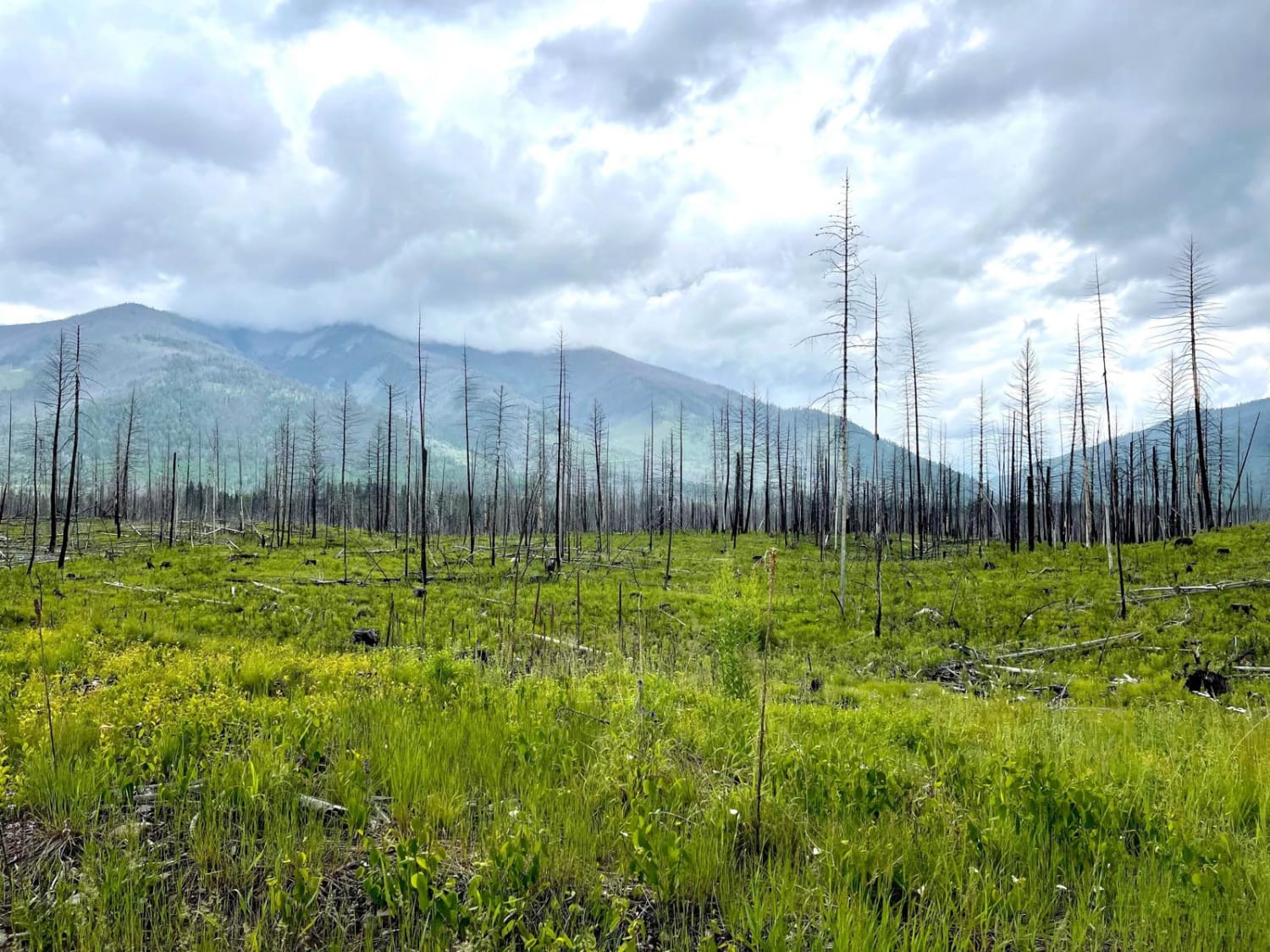
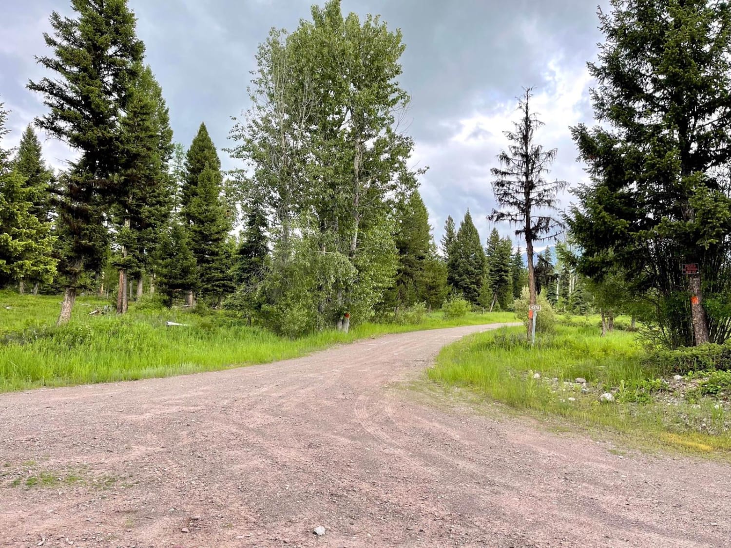
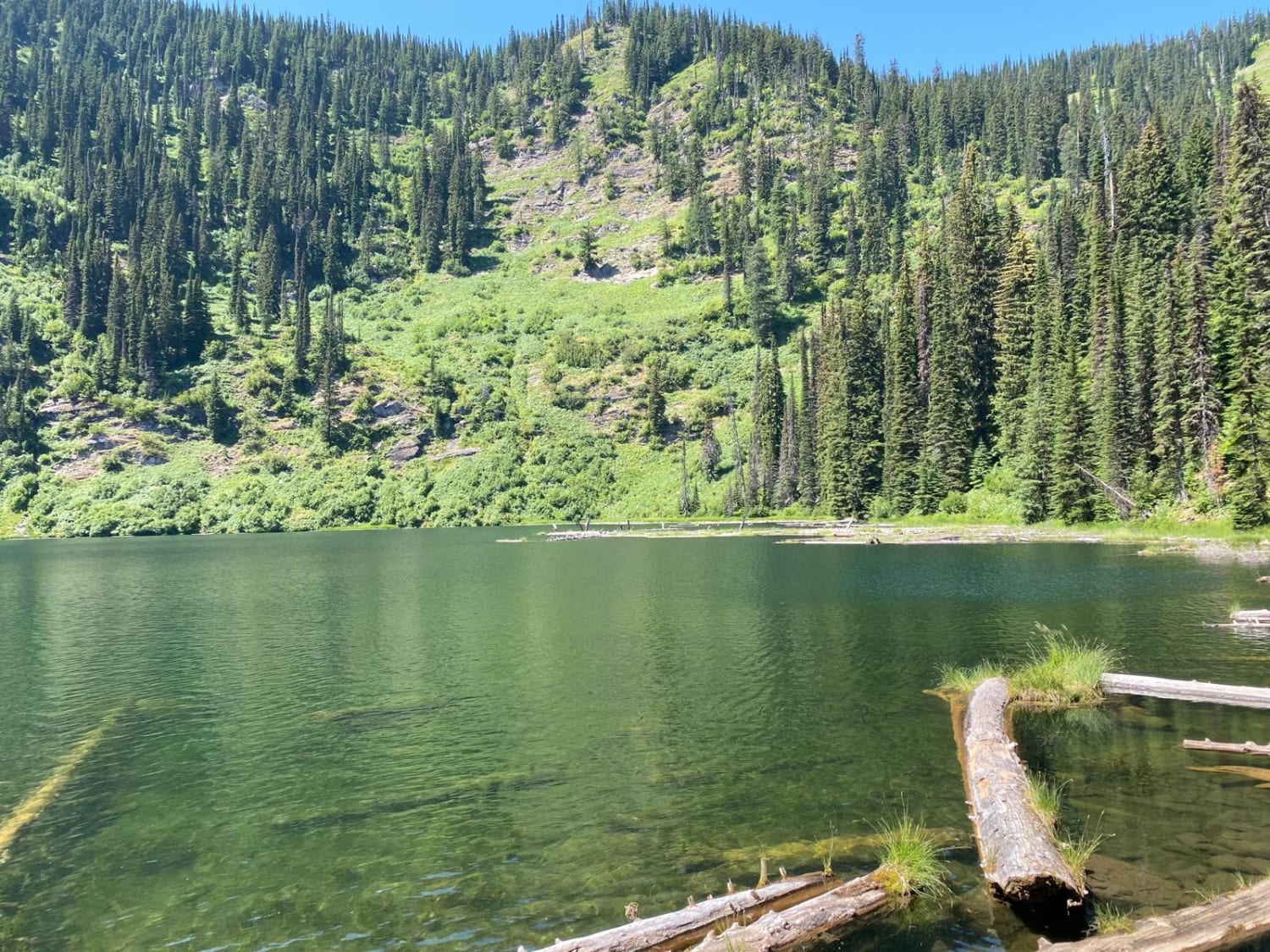
This scenic out and back runs through the lower valley and crosses a few streams. You spend most of the time passing through a sizeable burned-out forest section with monolithic trees burned to poles. They allow for a clear view of the beautiful mountains surrounding the valley. For side hikes, there are plenty of locked gates to old logging roads to get deeper into the wilderness. The trail's end is a rock barricade with any continuation happening on foot. There's enough room for a medium-sized rig to turn around. Longer rigs may want to take advantage of the large camping spot just before the end of the trail. The trail's end also emerges from the burned forest into lush green trees and brush. There are a few campsites right along the sides of the route. They do not appear heavily trafficked, so they may not be too noisy. There are two bars of Verizon LTE the whole way.
Photos of Blind Canyon
Difficulty
The trail has some ruts and is narrow with the potential to have to clear deadfall after a storm or in the springtime. There is no winter maintenance.
Status Reports
Blind Canyon can be accessed by the following ride types:
- High-Clearance 4x4
- SUV
- SxS (60")
- ATV (50")
- Dirt Bike
Blind Canyon Map
Popular Trails
Big Hole - Road 181

Stanford View Spur - J746
Moore Lake-St.Regis
The onX Offroad Difference
onX Offroad combines trail photos, descriptions, difficulty ratings, width restrictions, seasonality, and more in a user-friendly interface. Available on all devices, with offline access and full compatibility with CarPlay and Android Auto. Discover what you’re missing today!