Off-Road Trails in Montana
Discover off-road trails in Montana
Learn more about BLM 5 (Ringing Rocks)
BLM 5 (Ringing Rocks)
Total Miles
2.4
Tech Rating
Easy
Best Time
Spring, Summer, Fall
Learn more about BLM 9 (Dry Creek Single Track) 
BLM 9 (Dry Creek Single Track)
Total Miles
1.5
Tech Rating
Moderate
Best Time
Spring, Summer, Fall
Learn more about Blodgett Canyon Overlook
Blodgett Canyon Overlook
Total Miles
3.4
Tech Rating
Easy
Best Time
Summer, Fall, Spring
Learn more about Blodgett Hiking Trail and Campground
Blodgett Hiking Trail and Campground
Total Miles
1.5
Tech Rating
Easy
Best Time
Spring, Summer, Fall
Learn more about Blue Joint Coal Creek Ridge
Blue Joint Coal Creek Ridge
Total Miles
5.1
Tech Rating
Easy
Best Time
Fall, Summer, Spring
Learn more about Blue Joint Trailhead Trail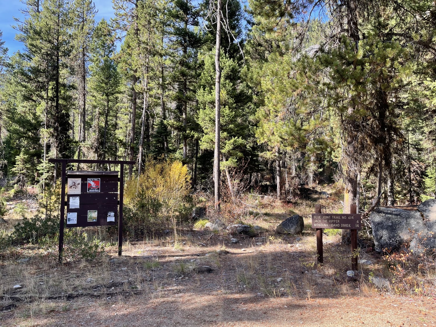
Blue Joint Trailhead Trail
Total Miles
7.3
Tech Rating
Easy
Best Time
Fall, Summer, Spring
Learn more about Blue Mountain Connection
Blue Mountain Connection
Total Miles
1.9
Tech Rating
Easy
Best Time
Fall, Summer, Spring
Learn more about Blue Mountain Look Out Trail
Blue Mountain Look Out Trail
Total Miles
4.7
Tech Rating
Moderate
Best Time
Spring, Summer, Fall
Learn more about Blue Mountain Lookout Spur (6.07)
Blue Mountain Lookout Spur (6.07)
Total Miles
0.5
Tech Rating
Moderate
Best Time
Spring, Summer, Fall
Learn more about Blue Mountain Lookout Spur (6.07)
Blue Mountain Lookout Spur (6.07)
Total Miles
0.5
Tech Rating
Moderate
Best Time
Spring, Summer, Fall
Learn more about Blue Mountain Single Track
Blue Mountain Single Track
Total Miles
2.5
Tech Rating
Moderate
Best Time
Summer, Fall, Spring
Learn more about Bluebird Mine Road
Bluebird Mine Road
Total Miles
1.8
Tech Rating
Easy
Best Time
Spring, Summer, Fall
Learn more about Bluebird Mine Trail Loop
Bluebird Mine Trail Loop
Total Miles
1.9
Tech Rating
Easy
Best Time
Spring, Summer, Fall
Learn more about Boulder Alley
Boulder Alley
Total Miles
1.2
Tech Rating
Easy
Best Time
Spring, Summer, Fall
Learn more about Boulder Alley Spur
Boulder Alley Spur
Total Miles
1.1
Tech Rating
Easy
Best Time
Spring, Summer, Fall
ATV trails in Montana
Learn more about $50,000 Silver Dollar Inn - FSR 288
$50,000 Silver Dollar Inn - FSR 288
Total Miles
7.5
Tech Rating
Easy
Best Time
Spring, Summer, Fall
Learn more about 2103 West Fork Gold Creek
2103 West Fork Gold Creek
Total Miles
5.7
Tech Rating
Easy
Best Time
Spring, Summer, Fall, Winter
Learn more about 4W-7736 - Big Flat Trail
4W-7736 - Big Flat Trail
Total Miles
3.6
Tech Rating
Easy
Best Time
Spring, Summer, Fall
Learn more about 4W-7829 - Mink Peak Jeep Trail
4W-7829 - Mink Peak Jeep Trail
Total Miles
4.4
Tech Rating
Easy
Best Time
Spring, Summer, Fall
UTV/side-by-side trails in Montana
Learn more about $50,000 Silver Dollar Inn - FSR 288
$50,000 Silver Dollar Inn - FSR 288
Total Miles
7.5
Tech Rating
Easy
Best Time
Spring, Summer, Fall
Learn more about 2103 West Fork Gold Creek
2103 West Fork Gold Creek
Total Miles
5.7
Tech Rating
Easy
Best Time
Spring, Summer, Fall, Winter
Learn more about 4W-7736 - Big Flat Trail
4W-7736 - Big Flat Trail
Total Miles
3.6
Tech Rating
Easy
Best Time
Spring, Summer, Fall
Learn more about 4W-7829 - Mink Peak Jeep Trail
4W-7829 - Mink Peak Jeep Trail
Total Miles
4.4
Tech Rating
Easy
Best Time
Spring, Summer, Fall
The onX Offroad Difference
onX Offroad combines trail photos, descriptions, difficulty ratings, width restrictions, seasonality, and more in a user-friendly interface. Available on all devices, with offline access and full compatibility with CarPlay and Android Auto. Discover what you’re missing today!