Bluebird Creek
Total Miles
1.3
Technical Rating
Best Time
Summer
Trail Type
Full-Width Road
Accessible By
Trail Overview
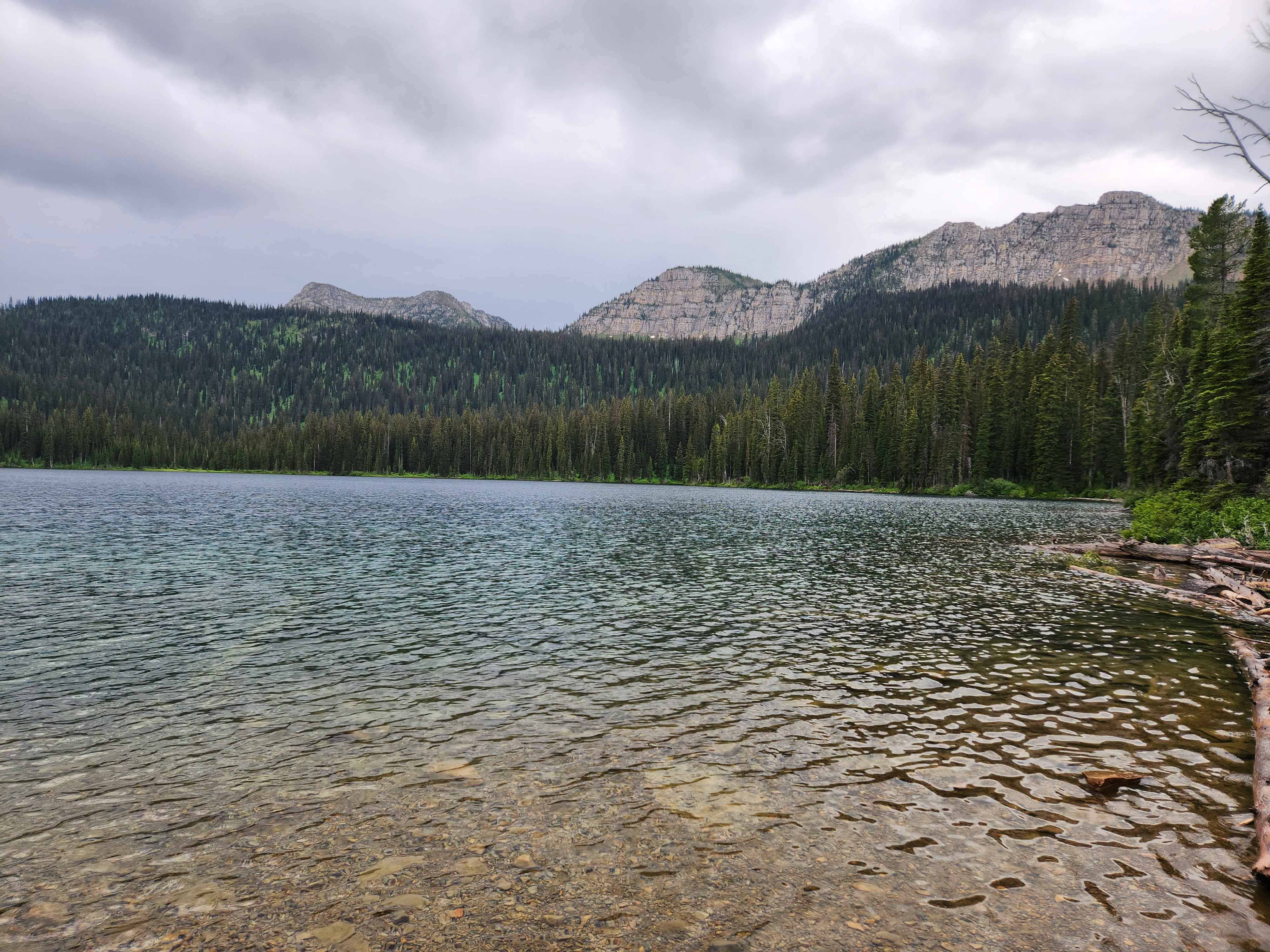
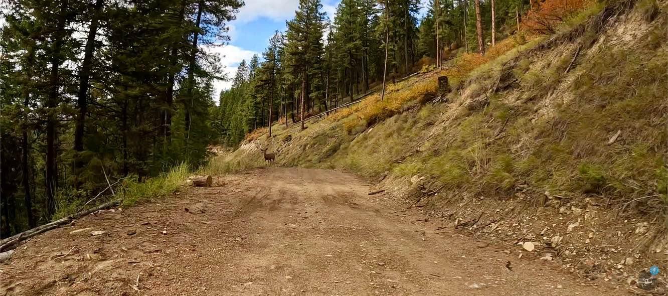
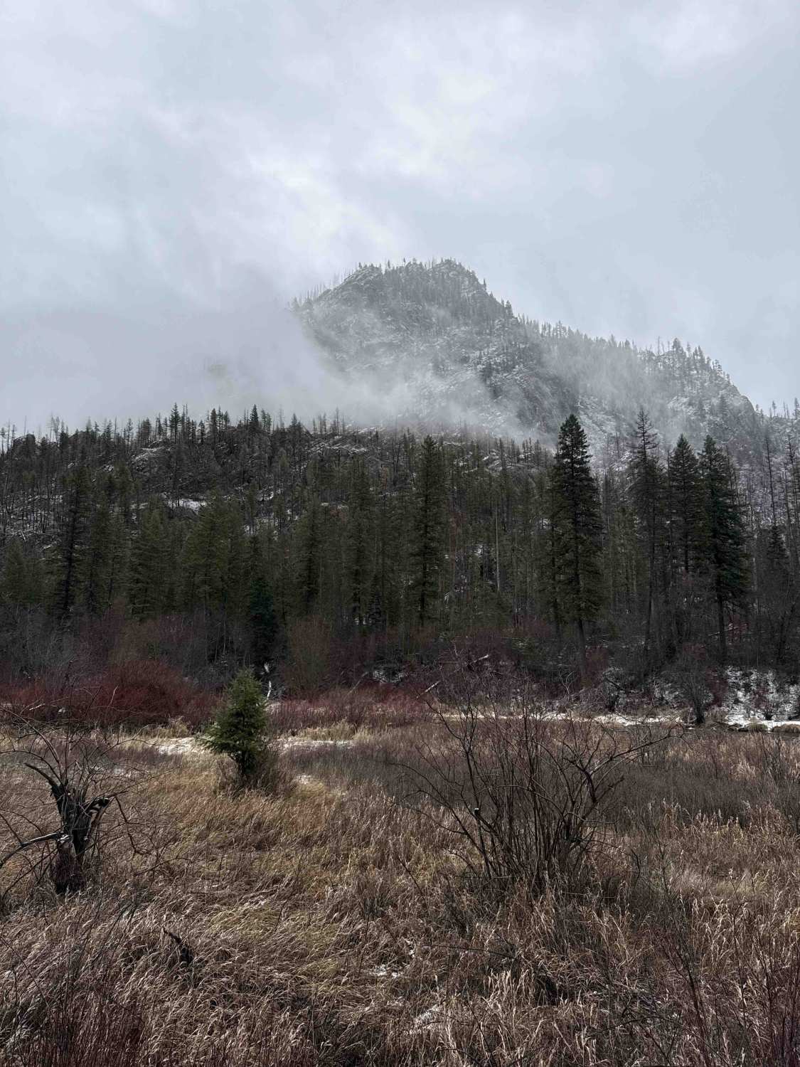
Bluebird Creek is a well-used gravel FSR 7085 in the Kootenai National Forest. The route accesses Little Therriault Lake, the Clarence Ness trailhead, and a horse camp loop and trailhead. This route climbs into the Ten Lakes Wilderness Study Area and gives access to some of the most remote areas of Montana. The road is a mild grade and well-maintained. There is little Therriault Lake Campground along this route with vault toilets and a hand pump water well. The campground is in good condition. Some areas have experienced recent wildfires, and deadfall across the road is common. There are deer, elk, bear, mountain lion, and wolverine in the area.
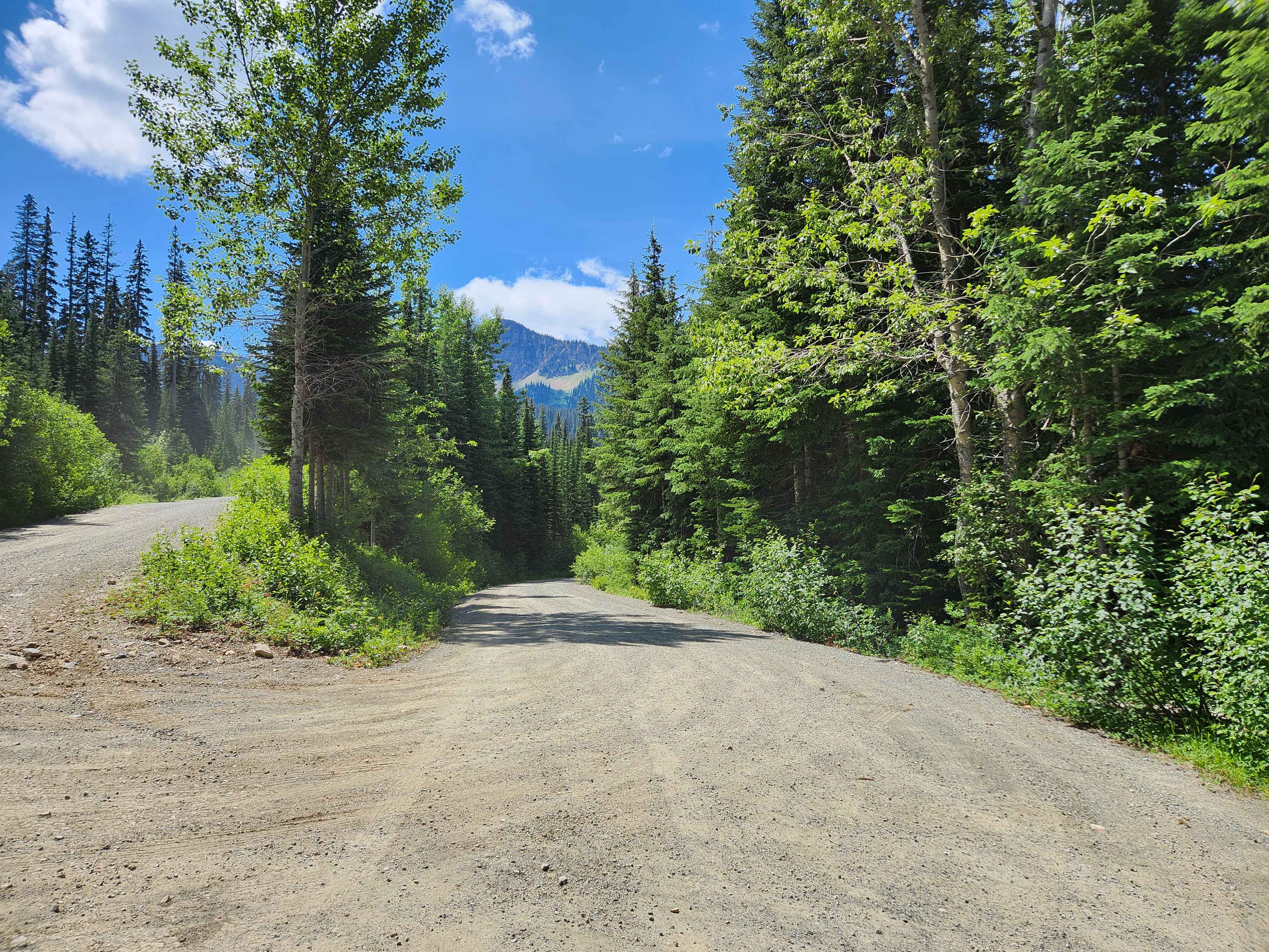
Photos of Bluebird Creek
Difficulty
The road is narrower, rockier, and steeper than FSR 319, but is generally still an easy drive for most vehicles.
Status Reports
Bluebird Creek can be accessed by the following ride types:
- High-Clearance 4x4
- SUV
- SxS (60")
- ATV (50")
- Dirt Bike
Bluebird Creek Map
Popular Trails
South Fork Nemote - Sheridan Ridge Loop
Thompson River Road

Smith Ridge Dead End

Falling Down The Mountain
The onX Offroad Difference
onX Offroad combines trail photos, descriptions, difficulty ratings, width restrictions, seasonality, and more in a user-friendly interface. Available on all devices, with offline access and full compatibility with CarPlay and Android Auto. Discover what you’re missing today!