South Fork Nemote - Sheridan Ridge Loop
Total Miles
9.3
Technical Rating
Best Time
Fall, Summer
Trail Type
High-Clearance 4x4 Trail
Accessible By
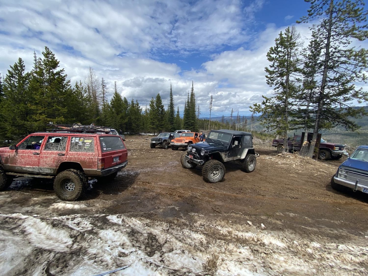
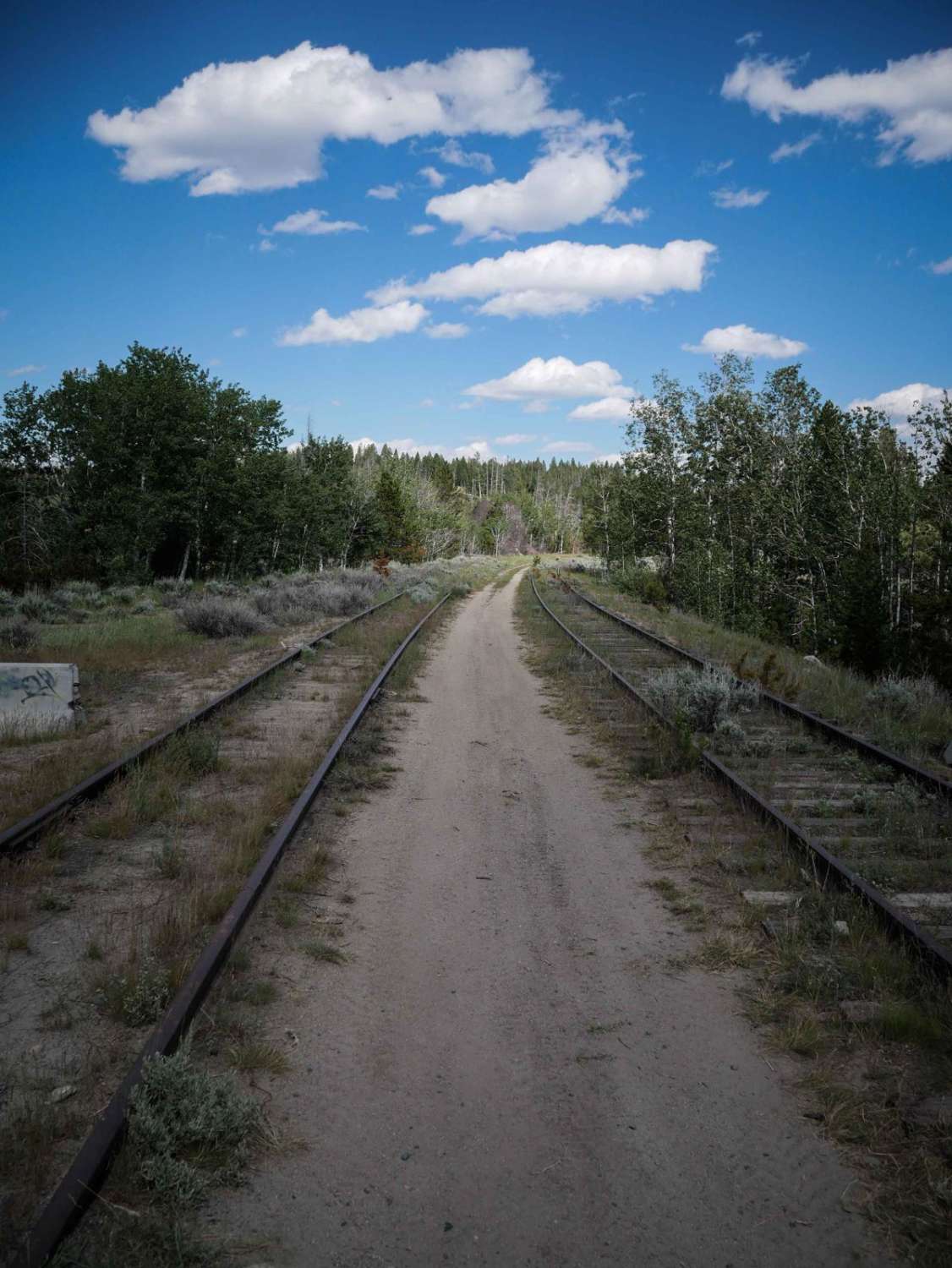
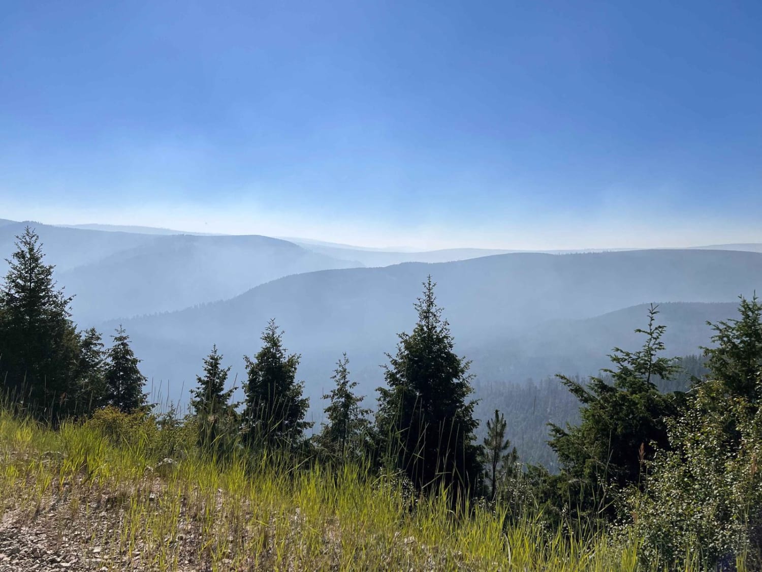
Trail Overview
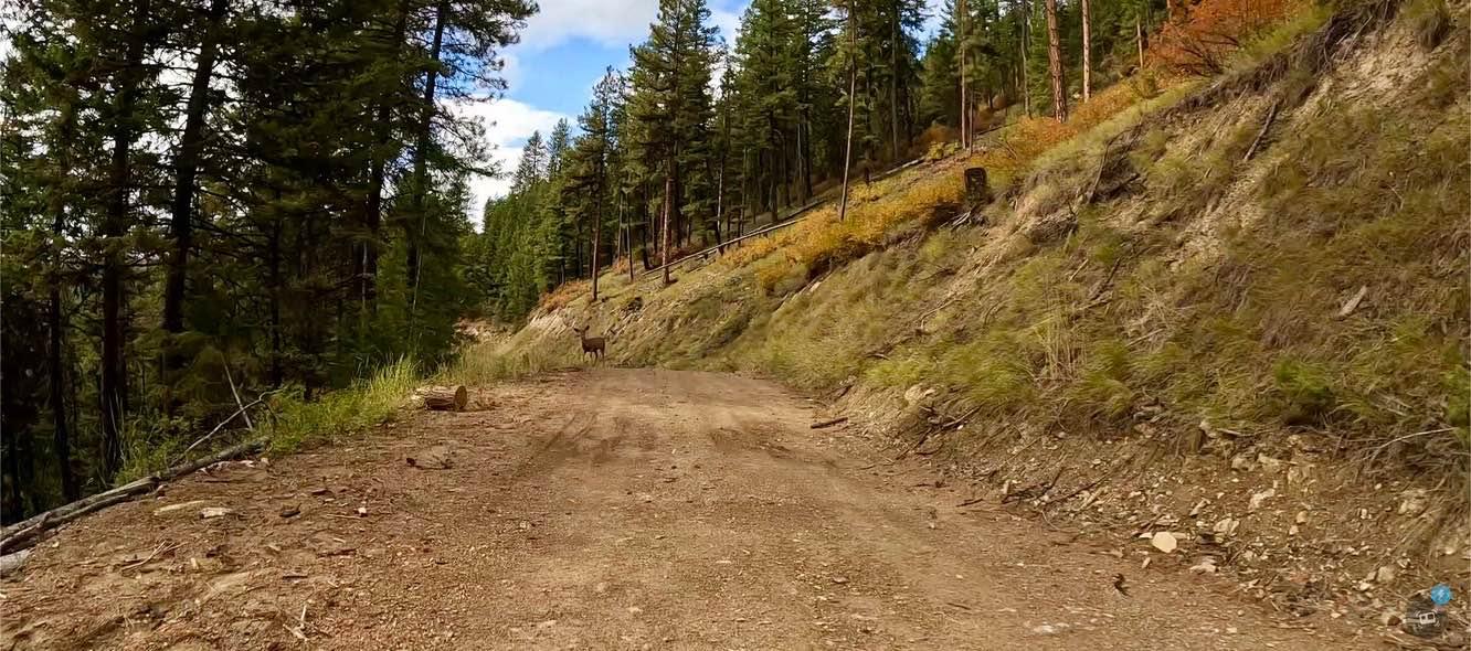
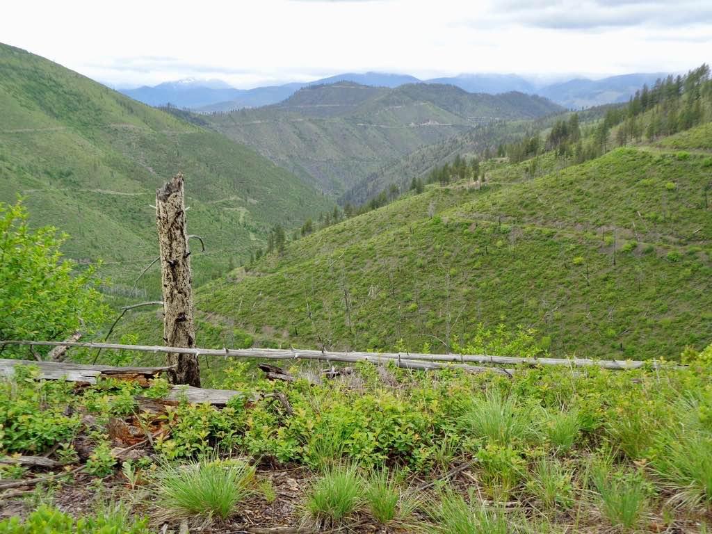
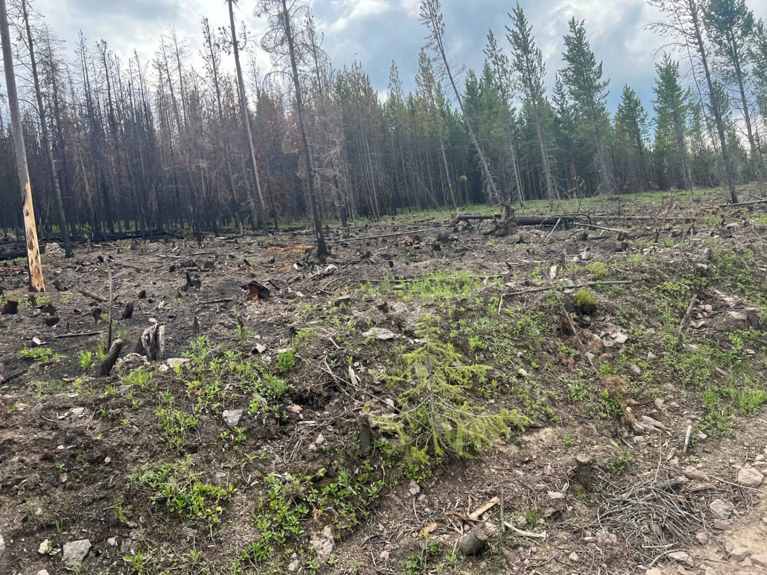
This route is controlled by two gates that are opened only from 05/16-10/14. The route passes thru both the Lolo National Forest and Fish Creek Wildlife Area. It is a single gravel, loose rock road that climbs up to 4600' through a burnt-out area of Government Lands. The majority of the route is made up of new growth which is quite colorful in the early fall. You will find very little motorized traffic on this route. The route is made up of mostly very steep banks and turns. The upper levels of the route afford areas to stop for snacks or just enjoy the scenery and take some pictures. Bear Grass can be found growing on parts of the route at certain times.
Photos of South Fork Nemote - Sheridan Ridge Loop
Difficulty
Dirt or rocky road, typically unmaintained after rain or snow. You may encounter shallow water crossings and obstacles under 12" on the trail, including small ledges. Roads are typically one to two vehicles wide.
Status Reports
South Fork Nemote - Sheridan Ridge Loop can be accessed by the following ride types:
- High-Clearance 4x4
- SxS (60")
- ATV (50")
- Dirt Bike
South Fork Nemote - Sheridan Ridge Loop Map
Popular Trails
Blacktail Wild Bill OHV Trail
Jackpine Gulch (FS 1209)
Porcupine Saddle
The onX Offroad Difference
onX Offroad combines trail photos, descriptions, difficulty ratings, width restrictions, seasonality, and more in a user-friendly interface. Available on all devices, with offline access and full compatibility with CarPlay and Android Auto. Discover what you’re missing today!