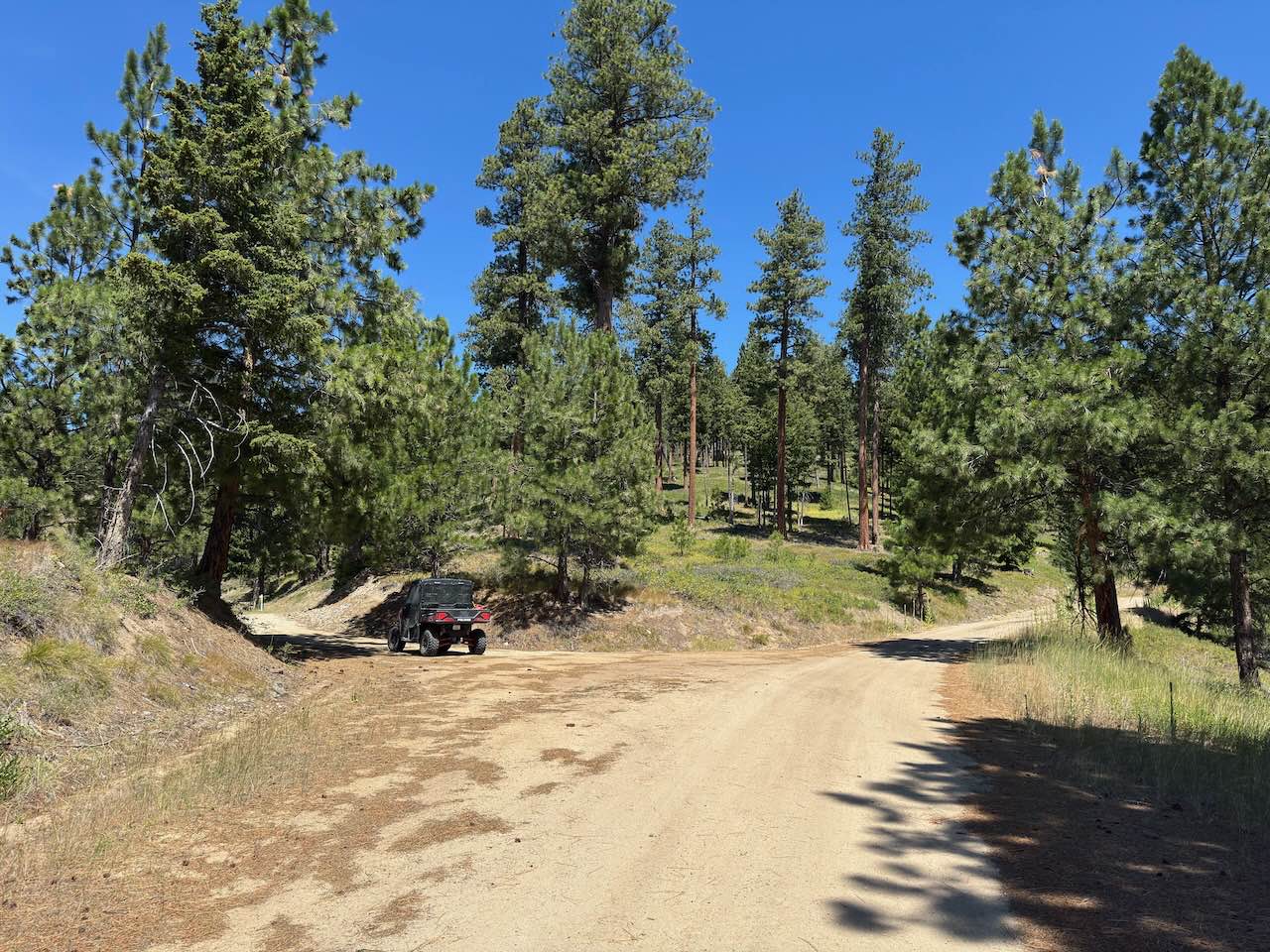
Cottonwood Road
Total Miles
20.2
Technical Rating
Best Time
Spring, Summer, Fall, Winter
Trail Type
Full-Width Road
Accessible By
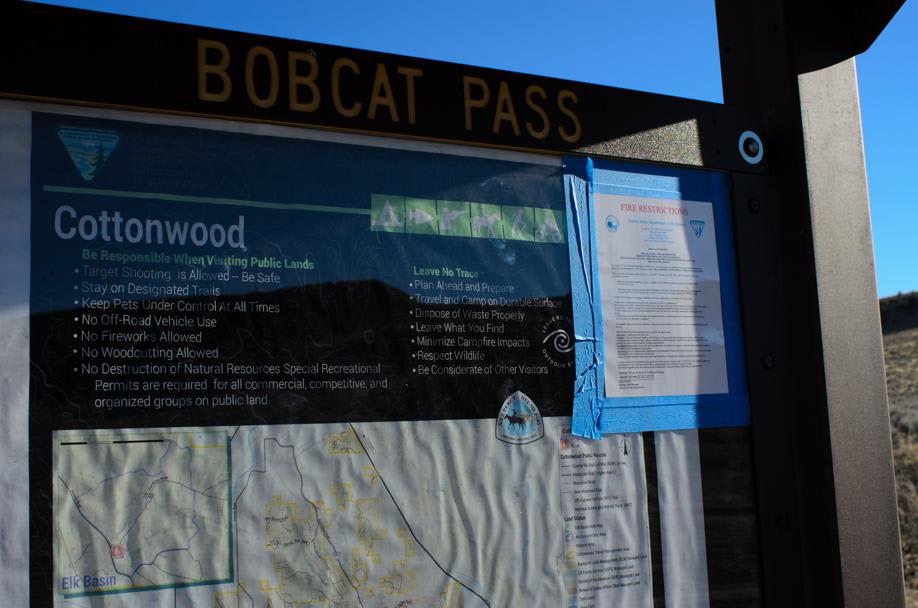
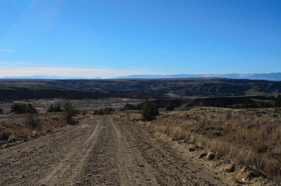
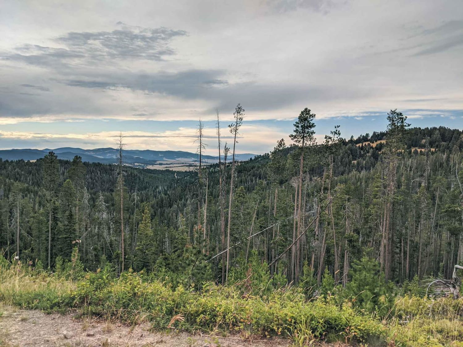
Trail Overview
Cottonwood Road, located between Highway 310 and Highway 72, south of Bridger, Montana, provides motorized and OHV access to over 100 square miles of BLM and State land. Bobcat Pass Road, to the west, is accessible by Cottonwood Road and provides miles of braided roads throughout the 100 plus square miles of public access. Traveling further north on Cottonwood Road, Weatherman Draw Natural Area, to the east, is the next access point and is the trailhead to hike to many collections of pictographs located within the steep sandstone bluffs. Traveling further north on Cottonwood Road, provides access to Castel Coulee Road, which is the trailhead to unique sandstone rock formations. Traveling further north, is the turn for Hatcher Pass to the west and will provide access to more motorized trails. Cottonwood Road is accessibly during dry months with a low clearance 2WD however any moisture on the road will require 4WD. The road base is clay and will turn to mud with the slightest amount of moisture. Dispersed camping is available. Cellular coverage is spotty throughout most of the trail.
Photos of Cottonwood Road
Difficulty
Clay based road. Easily accessible when dry however very muddy with the slightest amount of moisture.
Status Reports
Cottonwood Road can be accessed by the following ride types:
- High-Clearance 4x4
- SUV
- ATV (50")
- Dirt Bike
Cottonwood Road Map
Popular Trails
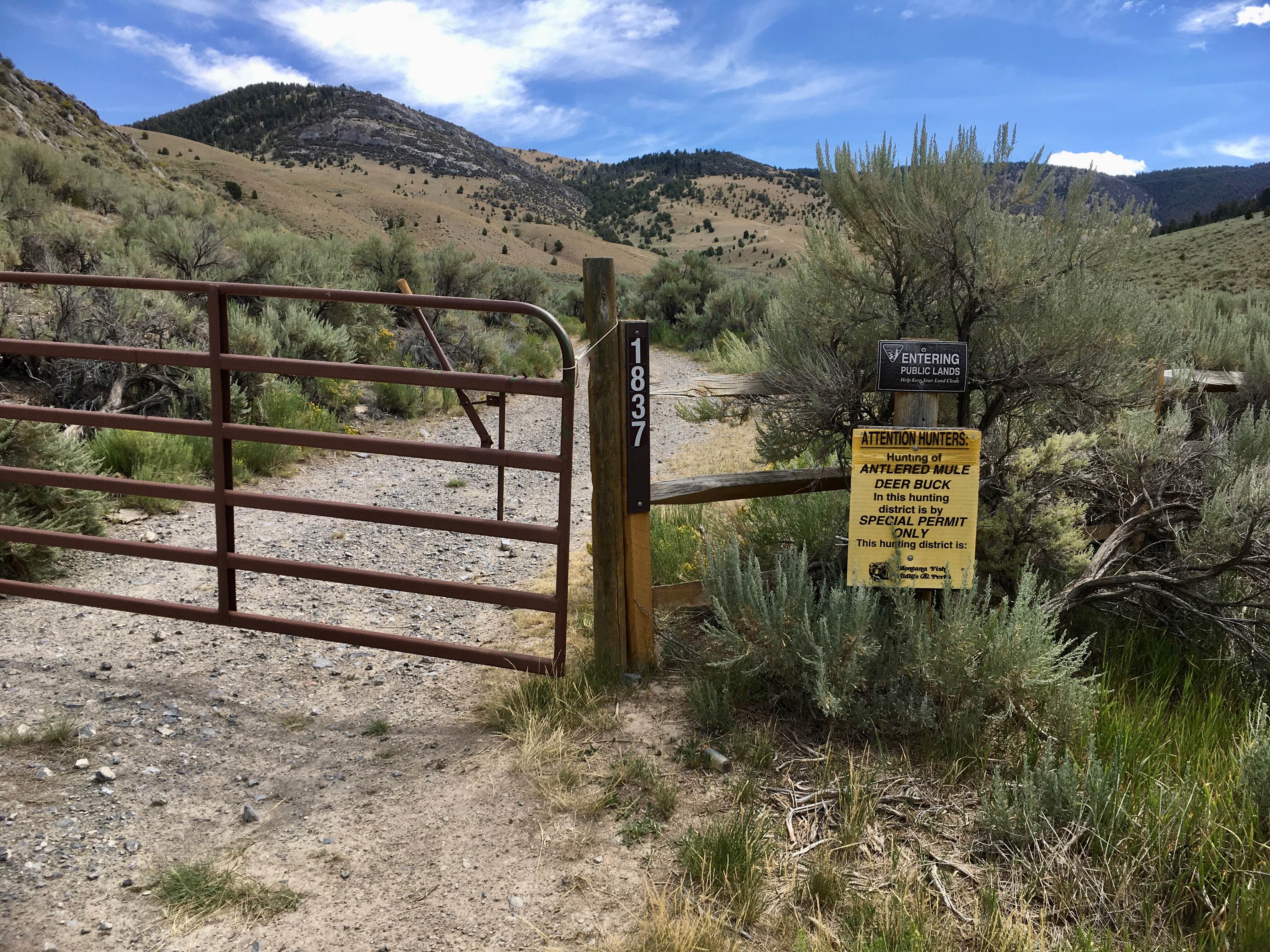
BLM 1837 / FS 70107
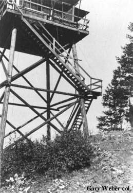
Cobden Point Lookout (FSR 9907)
The onX Offroad Difference
onX Offroad combines trail photos, descriptions, difficulty ratings, width restrictions, seasonality, and more in a user-friendly interface. Available on all devices, with offline access and full compatibility with CarPlay and Android Auto. Discover what you’re missing today!