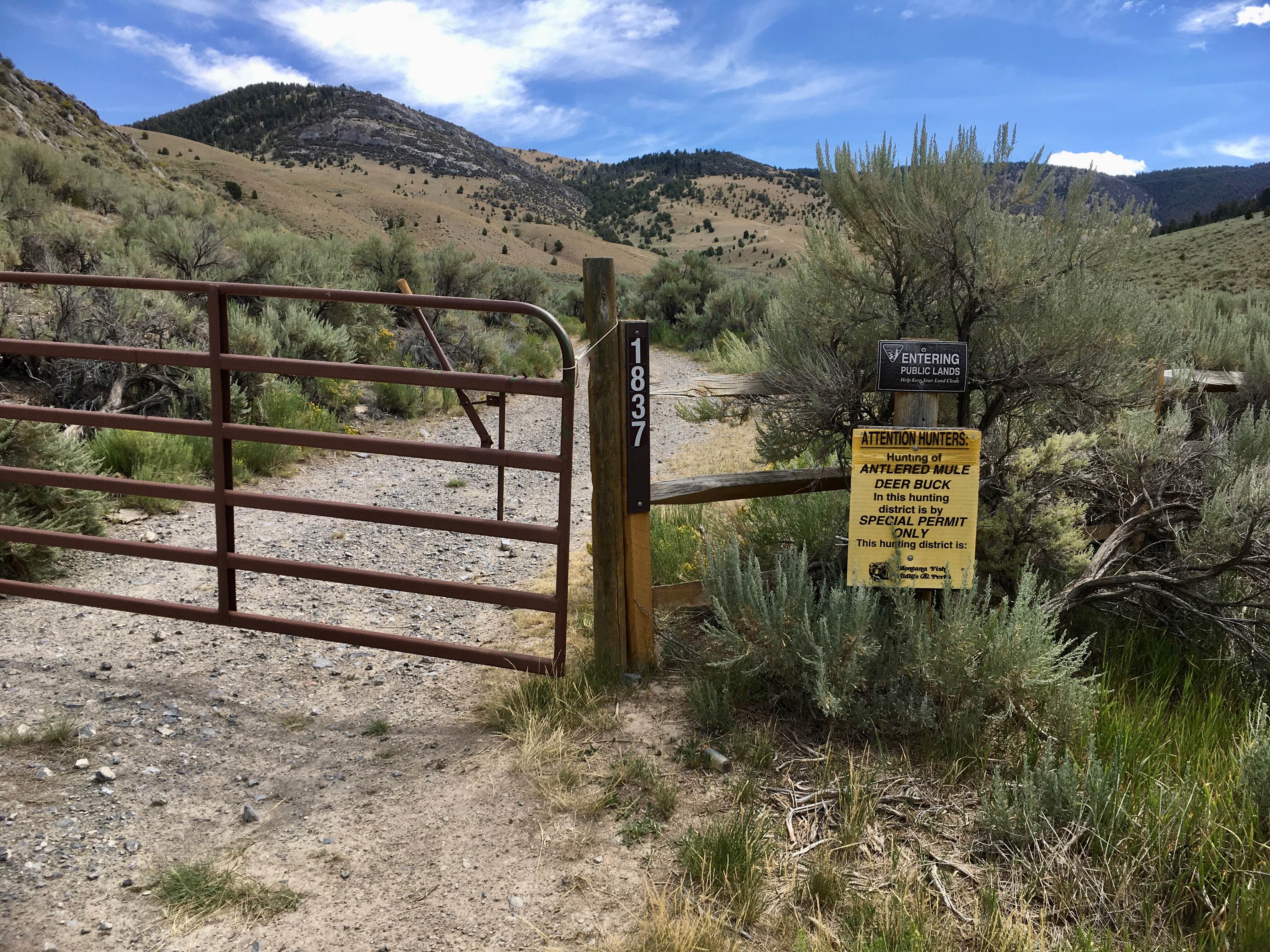
BLM 1837 / FS 70107
Total Miles
2.7
Technical Rating
Best Time
Spring, Summer, Fall
Trail Type
High-Clearance 4x4 Trail
Accessible By
Trail Overview
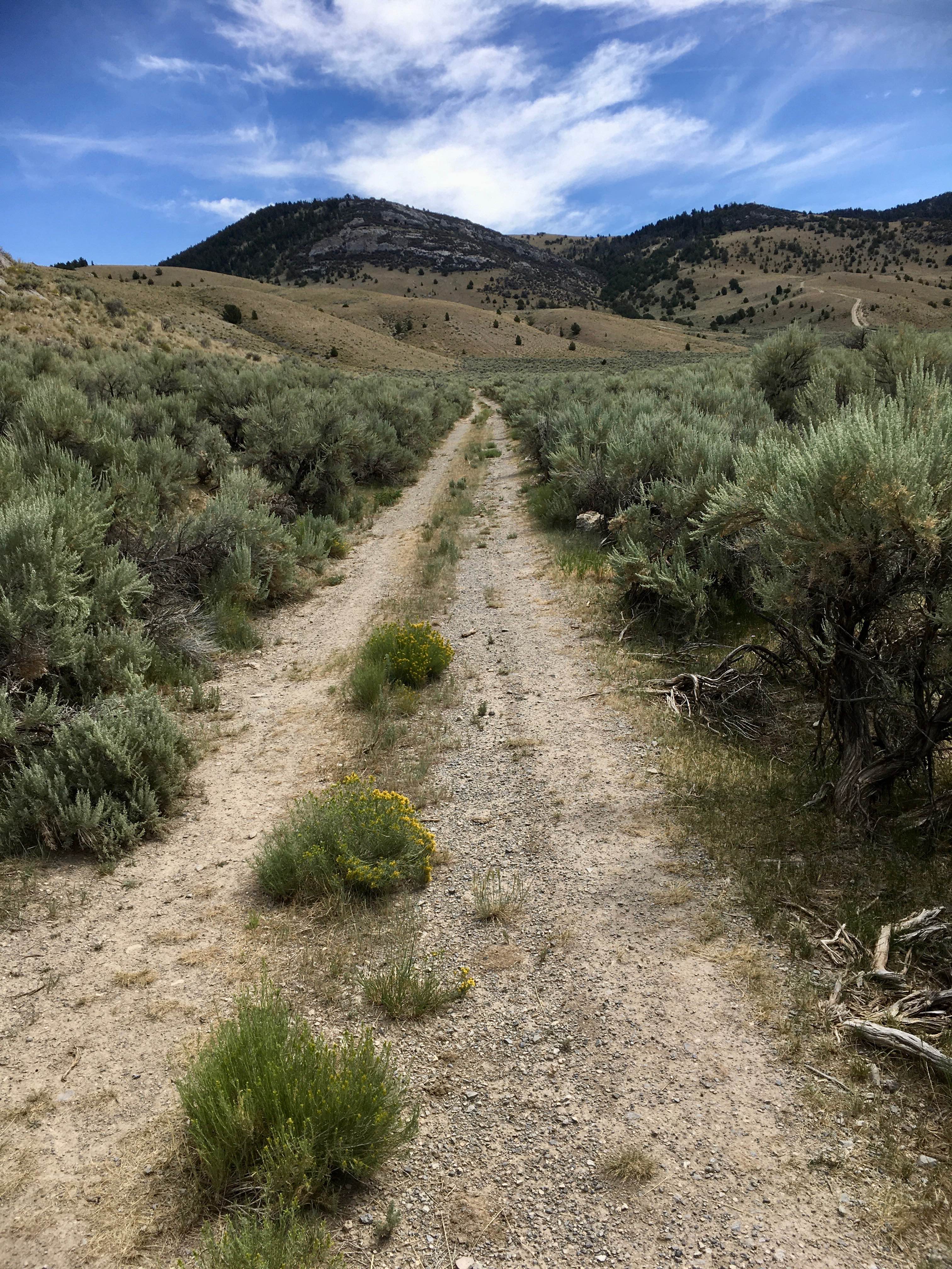
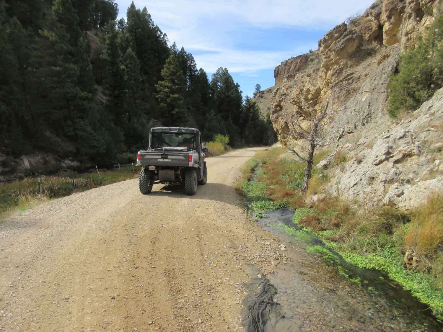
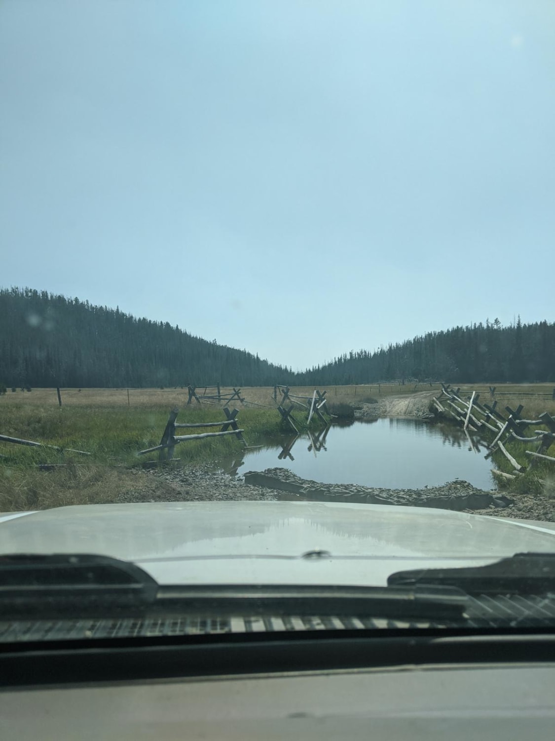
This road is labeled as 1837 on BLM land and FS 70107 on Forest Service Land. It connects the Big Sheep Creek Road to the West Fork Ridge Road. In 2.7 miles, there is an elevation change of 1,435 feet. The lower 1.5 miles of this road is very steep, with one low-range 4WD pitch after another. The upper 1.2 miles is gentler terrain with some rutting. This is a fun and scenic trail with some impressive cliff and cave exposures.
Photos of BLM 1837 / FS 70107
Difficulty
Some of the steeper rocky ascents and descents contain obstacles such as ledges, rocks, or deadfall. Picking a line through these obstacles requires some experience.
Status Reports
BLM 1837 / FS 70107 can be accessed by the following ride types:
- High-Clearance 4x4
- SxS (60")
- ATV (50")
- Dirt Bike
BLM 1837 / FS 70107 Map
Popular Trails
Warm Springs Creek Road (FA 163)/Cow Camp Road (FS 1234)
Columbus Molt Road
Whitetail Reservoir
Stoddard Point
The onX Offroad Difference
onX Offroad combines trail photos, descriptions, difficulty ratings, width restrictions, seasonality, and more in a user-friendly interface. Available on all devices, with offline access and full compatibility with CarPlay and Android Auto. Discover what you’re missing today!