Doran Point
Total Miles
6.8
Technical Rating
Best Time
Spring, Summer, Fall
Trail Type
Full-Width Road
Accessible By
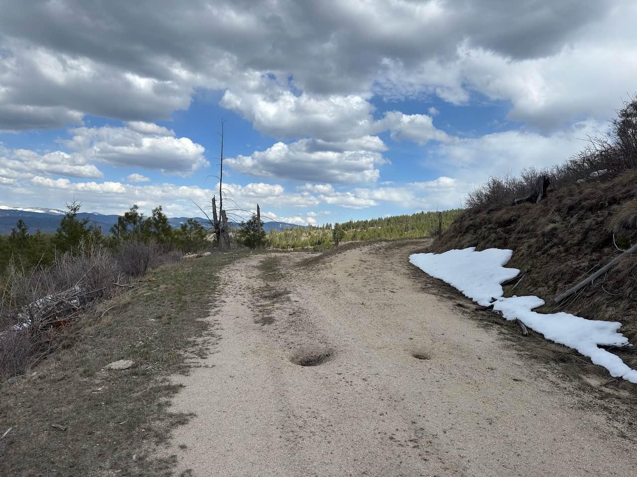
Trail Overview
Doran Point Trail is the natural continuation of the Robins Gulch Trail, which will take you to the Rye Creek staging area just off Rye Creek Road. Overall, this is a lower-than-average elevation trail for this area, so earlier-season rides may be possible, as it is open from December 1st until October 15th. However, this trail will still be snow-covered in spots until early May, as most of it is on a north-facing slope. A good majority of this trail is double track that turns into a single-vehicle-wide road in some sections. If starting from the west end, there is a Y-intersection at mile 0.6. Take the left Y to stay on this trail. There are a fair number of opportunities to pass someone if needed, as some wide spots do exist. The surface of the trail is mostly fine gravel, with some small ruts from runoff, sections of small-diameter rocks toward the east end, a light amount of potholes, and some lightly off-camber sections. Overall, this is an easy trail, but there are a couple of narrow spots where a full-size pickup will brush against branches on both sides of the trail.
Photos of Doran Point

Difficulty
The surface of the trail is mostly a fine gravel with some small ruts from runoff, some sections of small diameter rocks toward the east end of the trail, a light amount of potholes and some lightly off camber sections. There are some pretty decent ledges off the side of the trail as well and this trail can get pretty muddy after rain or melting snow. Overall, this is an easy trail with a few spots that are narrower than the rest.
Status Reports
Doran Point can be accessed by the following ride types:
- High-Clearance 4x4
- SUV
- SxS (60")
- ATV (50")
- Dirt Bike
Doran Point Map
Popular Trails
Cougar C Trail
Ford Basin to Home/Lime Gulch

Stoddard Point
Snowshoe Pass - FSR 488
The onX Offroad Difference
onX Offroad combines trail photos, descriptions, difficulty ratings, width restrictions, seasonality, and more in a user-friendly interface. Available on all devices, with offline access and full compatibility with CarPlay and Android Auto. Discover what you’re missing today!