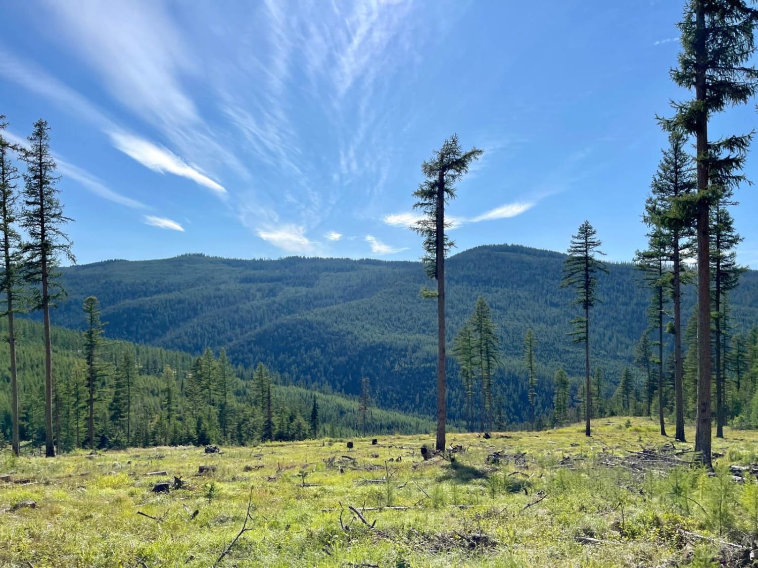
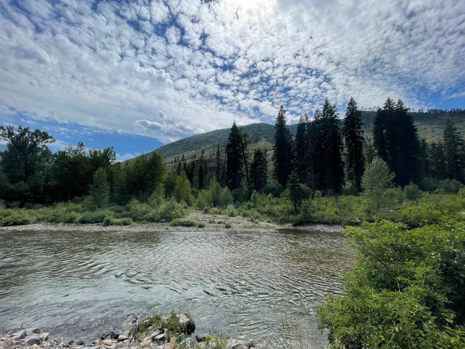
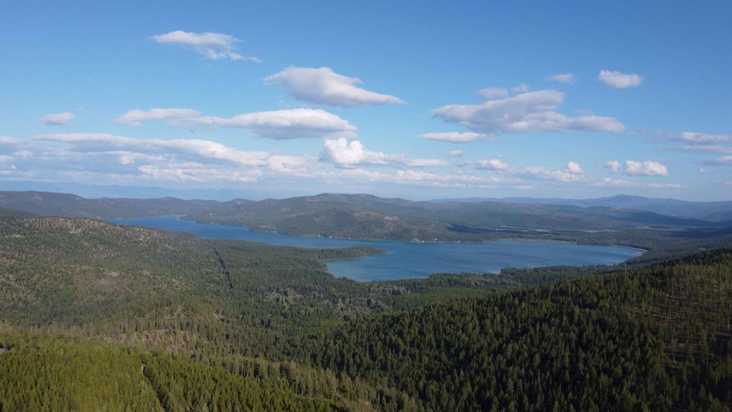
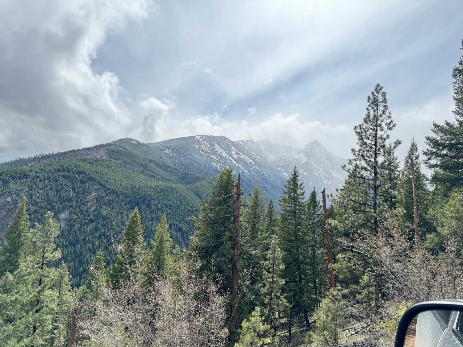
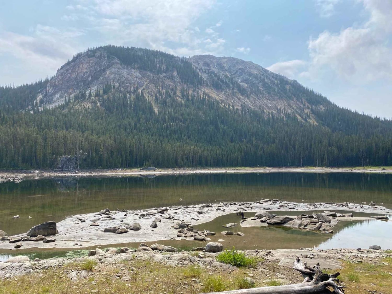
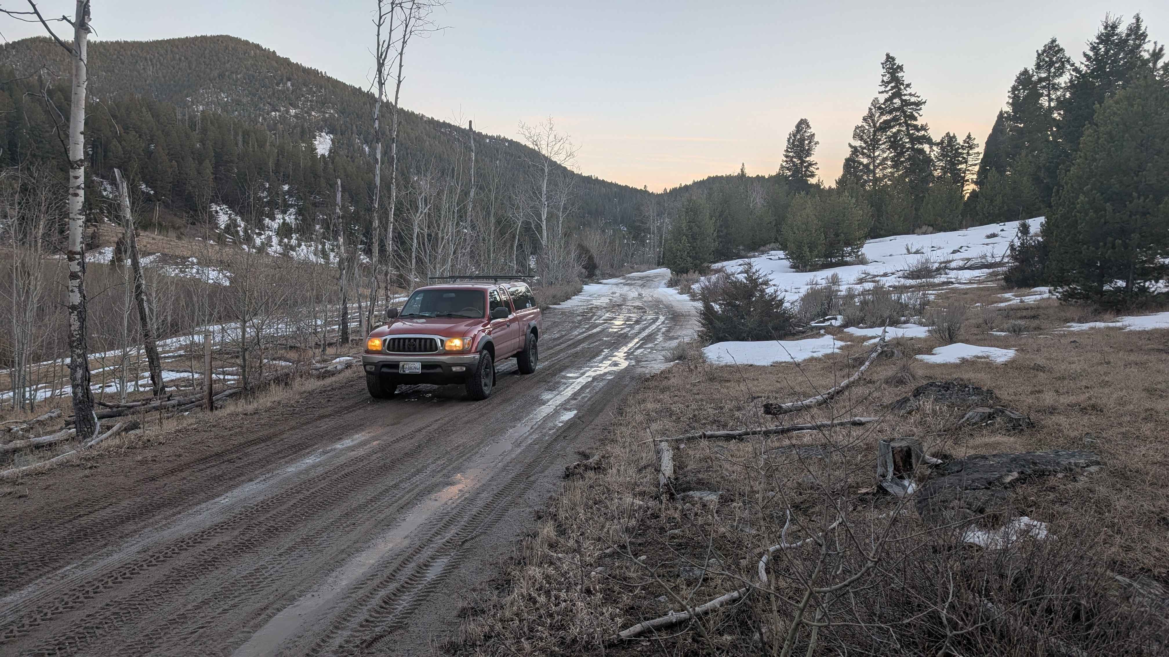
Off-Road Trails in Montana
Discover off-road trails in Montana
Learn more about Falling Down The Mountain
Falling Down The Mountain
Total Miles
2.7
Tech Rating
Moderate
Best Time
Spring, Summer, Fall
Learn more about Falls Creek Alder Creek - NF901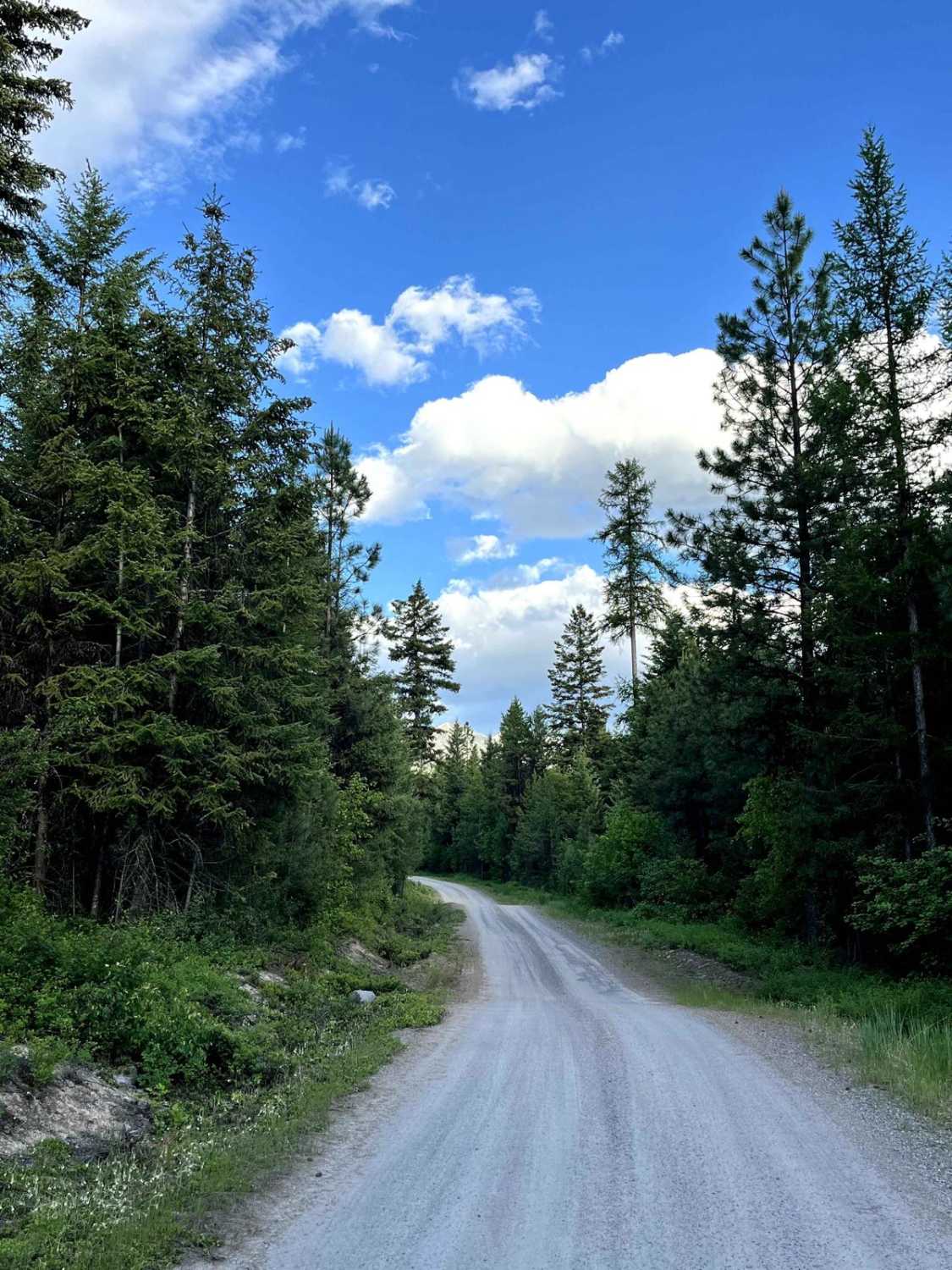
Falls Creek Alder Creek - NF901
Total Miles
8.5
Tech Rating
Easy
Best Time
Spring, Summer, Fall

Learn more about Ferry Basin Lookout Tower FB-3000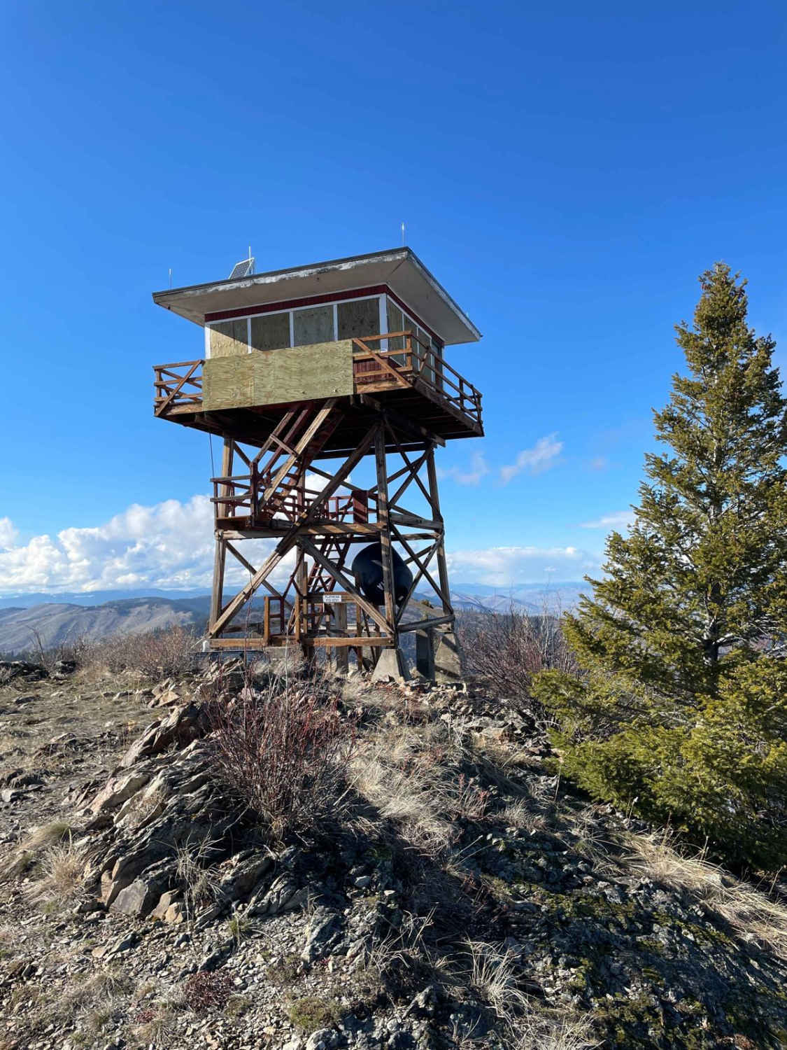
Ferry Basin Lookout Tower FB-3000
Total Miles
6.1
Tech Rating
Moderate
Best Time
Summer, Fall
Learn more about Findell Creek
Findell Creek
Total Miles
3.8
Tech Rating
Easy
Best Time
Spring, Summer, Fall
Learn more about Finmore Cutover
Finmore Cutover
Total Miles
2.3
Tech Rating
Easy
Best Time
Spring, Summer, Fall
Learn more about First Chance Gulch To Bear Gulch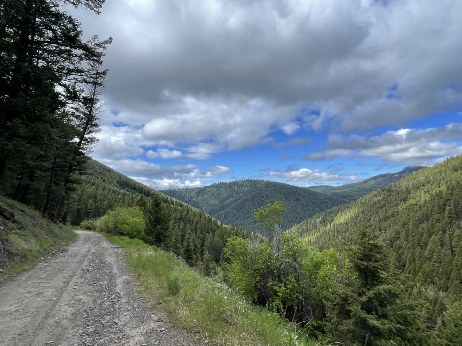
First Chance Gulch To Bear Gulch
Total Miles
4.6
Tech Rating
Easy
Best Time
Fall, Summer, Spring
Learn more about Fish Creek Lake Road (Partial)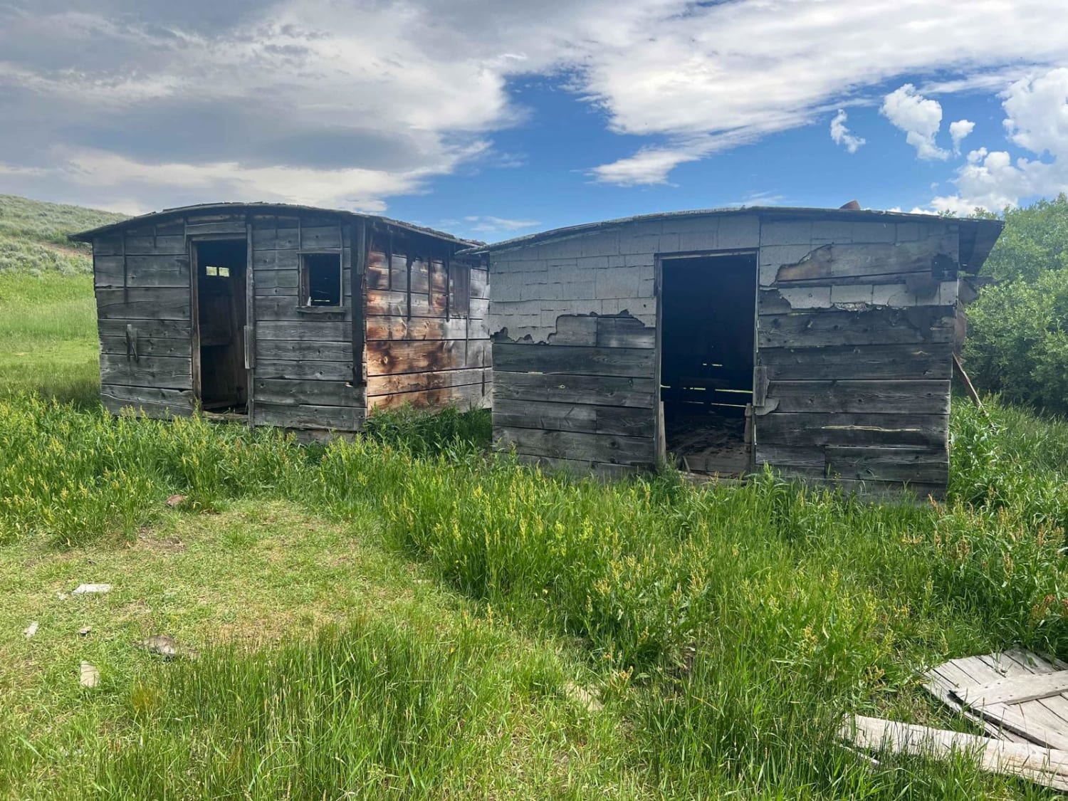
Fish Creek Lake Road (Partial)
Total Miles
3.4
Tech Rating
Easy
Best Time
Summer, Fall
Learn more about Fish Creek Ridge Road (FS 9626)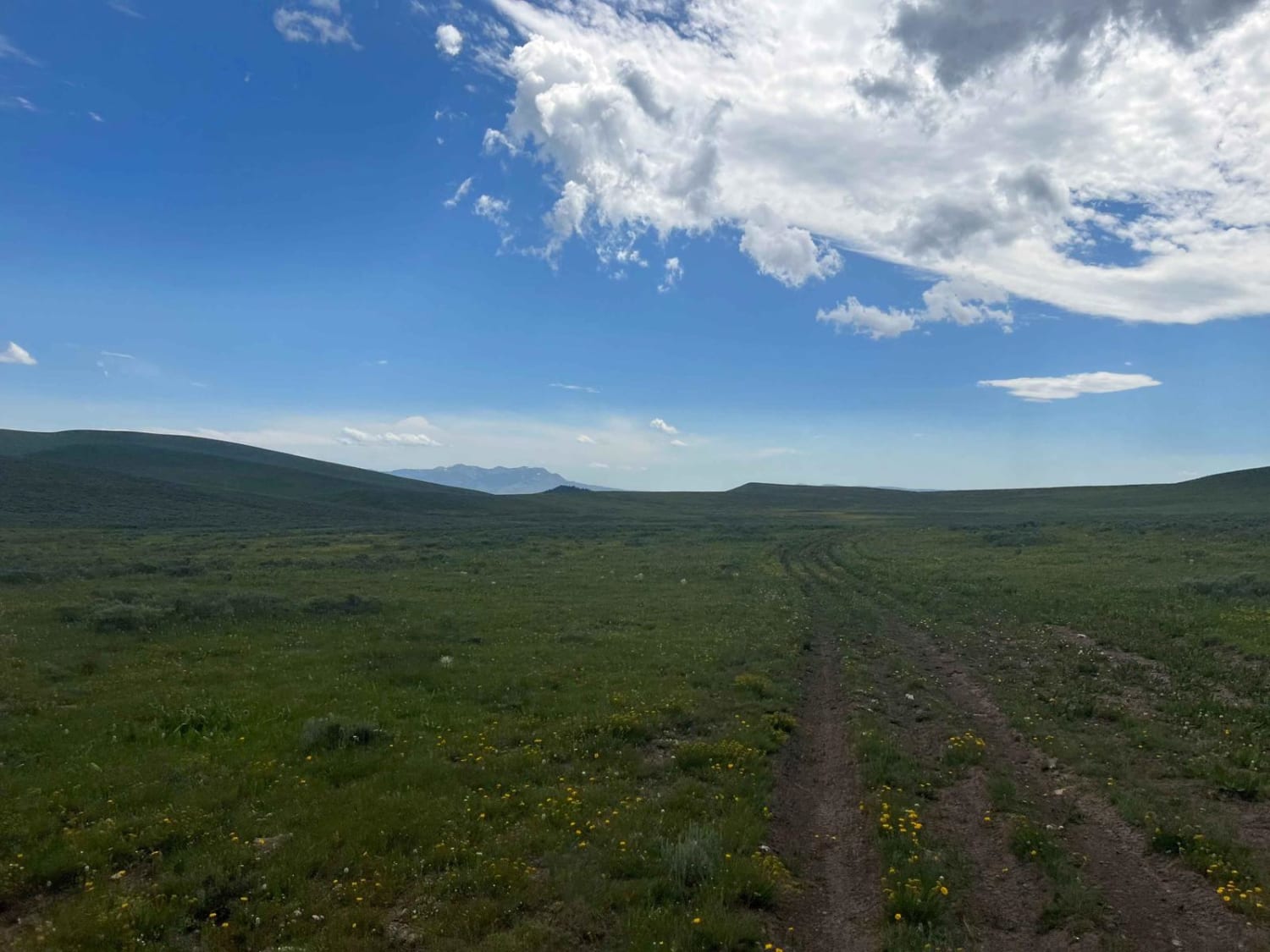
Fish Creek Ridge Road (FS 9626)
Total Miles
3.8
Tech Rating
Easy
Best Time
Summer
Learn more about Flat Creek Hwy 135
Flat Creek Hwy 135
Total Miles
27.2
Tech Rating
Easy
Best Time
Summer, Fall
Learn more about Flat Creek Road - Pardee Creek Road
Flat Creek Road - Pardee Creek Road
Total Miles
5.7
Tech Rating
Easy
Best Time
Spring, Summer, Fall
Learn more about Flatiron Ridge
Flatiron Ridge
Total Miles
5.9
Tech Rating
Easy
Best Time
Spring, Summer, Fall
Learn more about Ford Basin to Home/Lime Gulch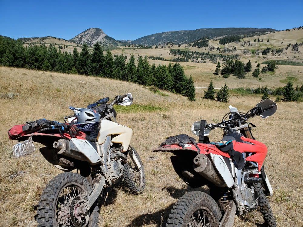
Ford Basin to Home/Lime Gulch
Total Miles
21.0
Tech Rating
Moderate
Best Time
Summer, Fall
ATV trails in Montana
Learn more about $50,000 Silver Dollar Inn - FSR 288
$50,000 Silver Dollar Inn - FSR 288
Total Miles
7.5
Tech Rating
Easy
Best Time
Spring, Summer, Fall
Learn more about 2103 West Fork Gold Creek
2103 West Fork Gold Creek
Total Miles
5.7
Tech Rating
Easy
Best Time
Spring, Summer, Fall, Winter
Learn more about 4W-7736 - Big Flat Trail
4W-7736 - Big Flat Trail
Total Miles
3.6
Tech Rating
Easy
Best Time
Spring, Summer, Fall
Learn more about 4W-7829 - Mink Peak Jeep Trail
4W-7829 - Mink Peak Jeep Trail
Total Miles
4.4
Tech Rating
Easy
Best Time
Spring, Summer, Fall
UTV/side-by-side trails in Montana
Learn more about $50,000 Silver Dollar Inn - FSR 288
$50,000 Silver Dollar Inn - FSR 288
Total Miles
7.5
Tech Rating
Easy
Best Time
Spring, Summer, Fall
Learn more about 2103 West Fork Gold Creek
2103 West Fork Gold Creek
Total Miles
5.7
Tech Rating
Easy
Best Time
Spring, Summer, Fall, Winter
Learn more about 4W-7736 - Big Flat Trail
4W-7736 - Big Flat Trail
Total Miles
3.6
Tech Rating
Easy
Best Time
Spring, Summer, Fall
Learn more about 4W-7829 - Mink Peak Jeep Trail
4W-7829 - Mink Peak Jeep Trail
Total Miles
4.4
Tech Rating
Easy
Best Time
Spring, Summer, Fall
The onX Offroad Difference
onX Offroad combines trail photos, descriptions, difficulty ratings, width restrictions, seasonality, and more in a user-friendly interface. Available on all devices, with offline access and full compatibility with CarPlay and Android Auto. Discover what you’re missing today!