Flat Creek Road - Pardee Creek Road
Total Miles
5.7
Technical Rating
Best Time
Spring, Summer, Fall
Trail Type
Full-Width Road
Accessible By
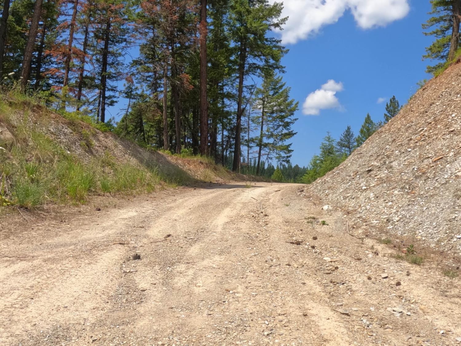
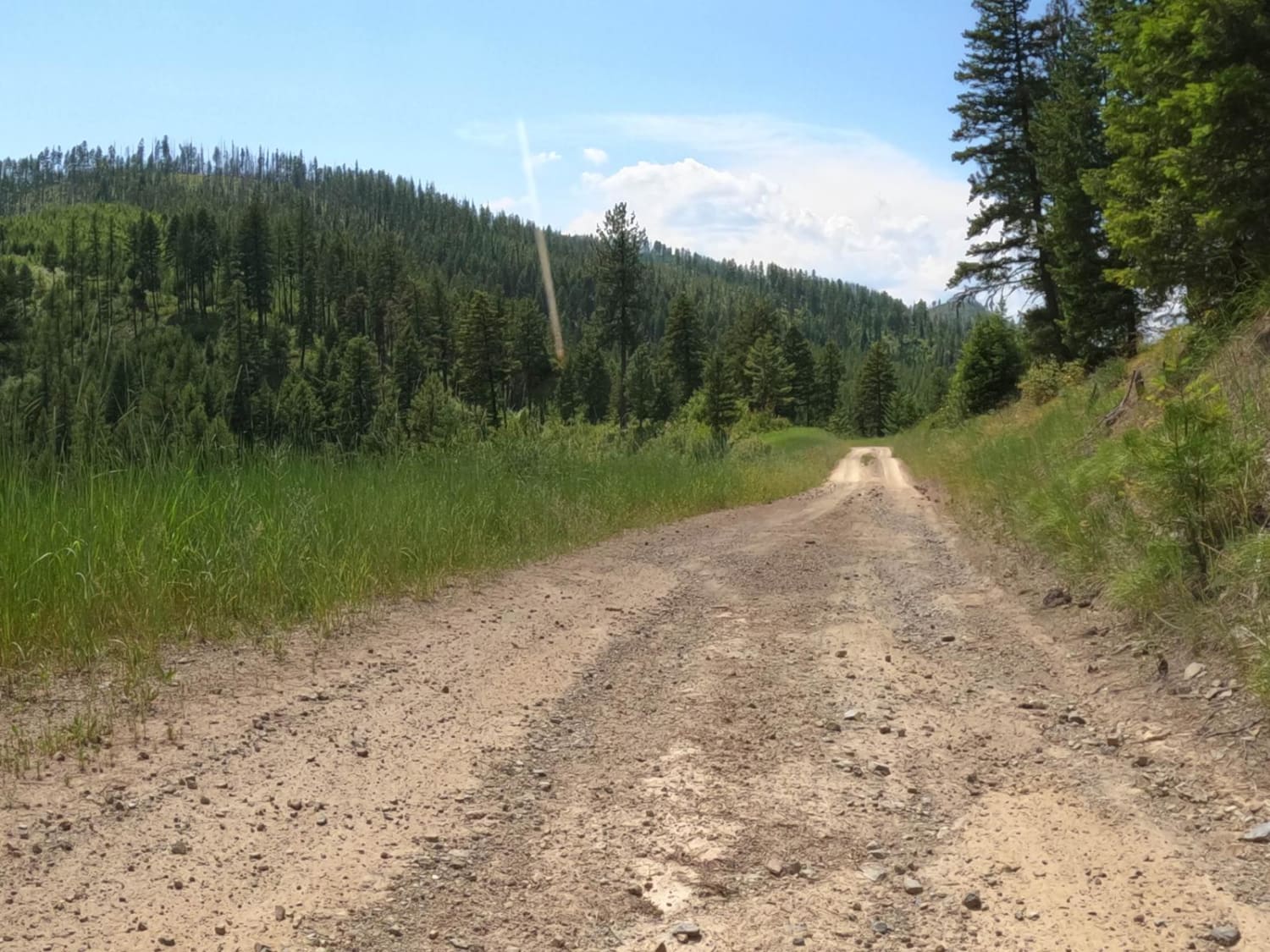
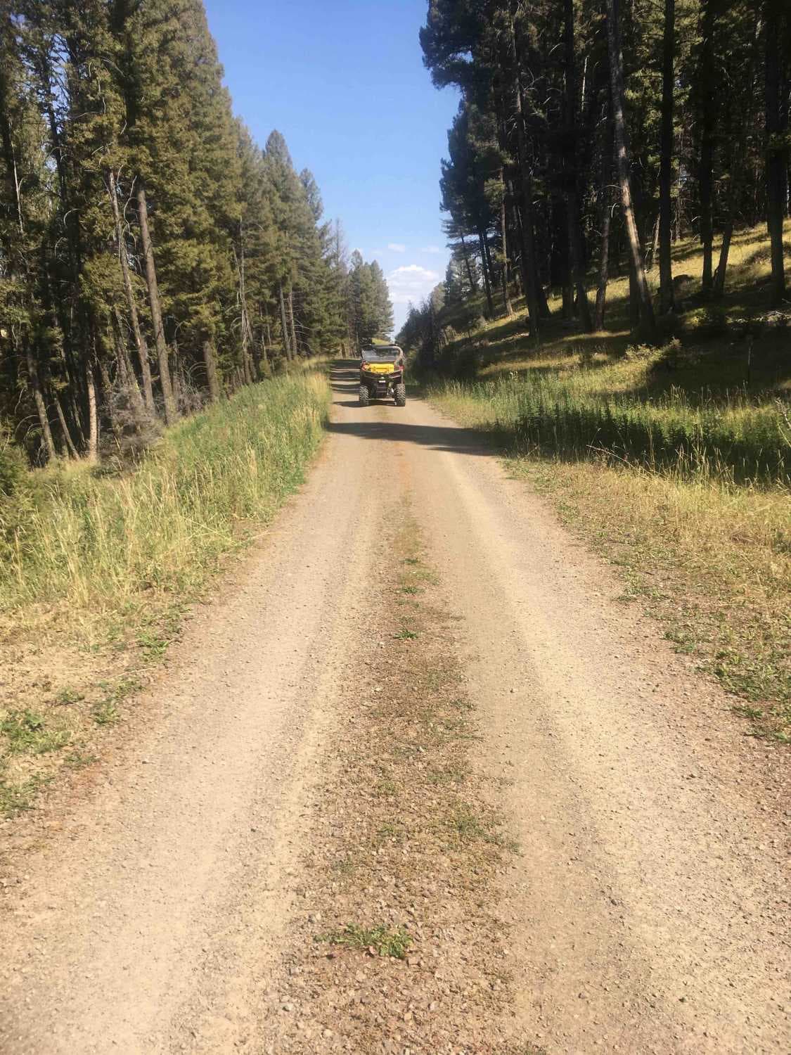
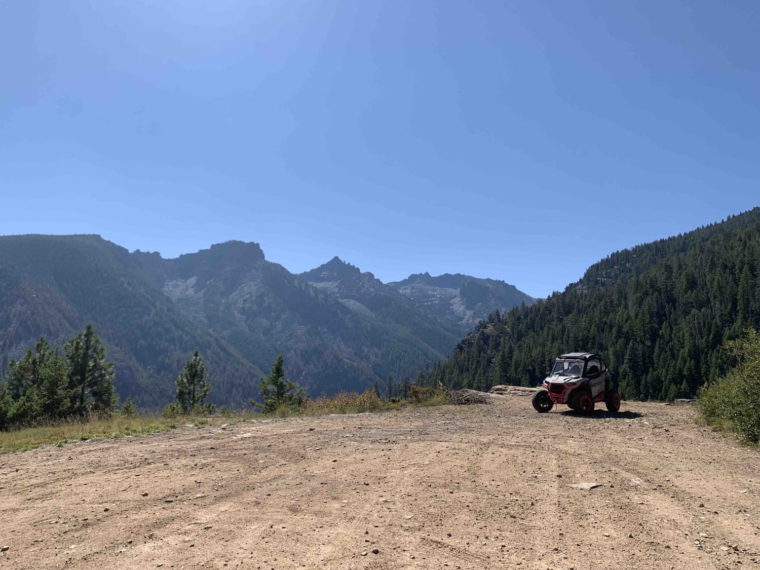
Trail Overview
The route is mainly gravel and loose rock passing thru government lands. There are sharp corners with steep embankments along part of the route. Ponderosa Pine & Tamarack line most of the route. Offline Maps will be needed to navigate parts of the route. You will pass through openings where you can see the beautiful background of mountains and forest that make up the Lolo Forest.
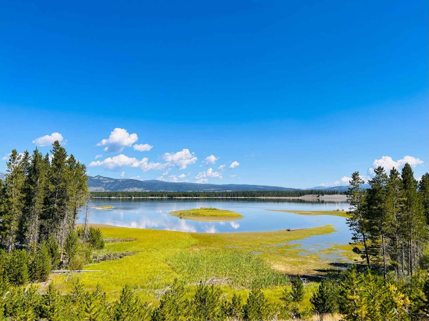
Photos of Flat Creek Road - Pardee Creek Road
Difficulty
There are steep ledges on parts of the route. There are some narrow sections, but most of the route has room to pass on. The roads can be very dusty in dry conditions.
History
When you're driving to the trail you will pass some old structures that were used in mining.
Flat Creek Road - Pardee Creek Road can be accessed by the following ride types:
- High-Clearance 4x4
- SUV
- SxS (60")
- ATV (50")
- Dirt Bike
Flat Creek Road - Pardee Creek Road Map
Popular Trails
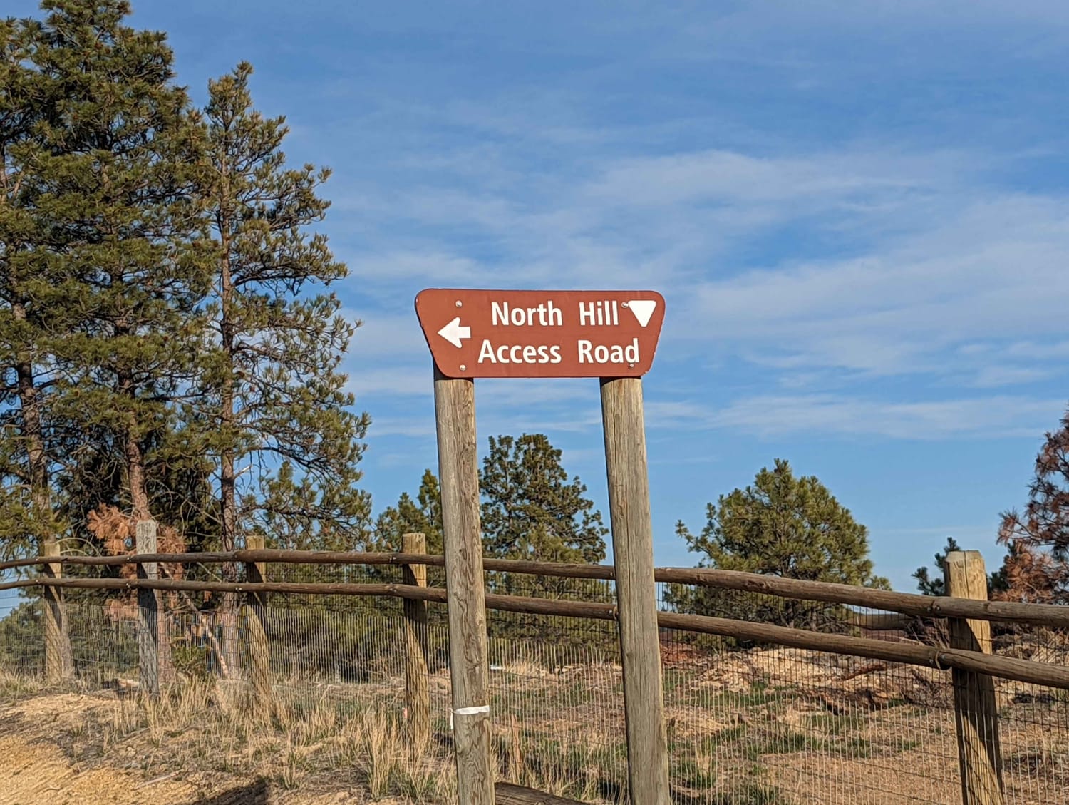
North Hills Recreation Area
Price Peet Road
Bear Creek Overlook Trail
The onX Offroad Difference
onX Offroad combines trail photos, descriptions, difficulty ratings, width restrictions, seasonality, and more in a user-friendly interface. Available on all devices, with offline access and full compatibility with CarPlay and Android Auto. Discover what you’re missing today!