Flume Gultch
Total Miles
15.4
Technical Rating
Best Time
Summer, Spring
Trail Type
Full-Width Road
Accessible By
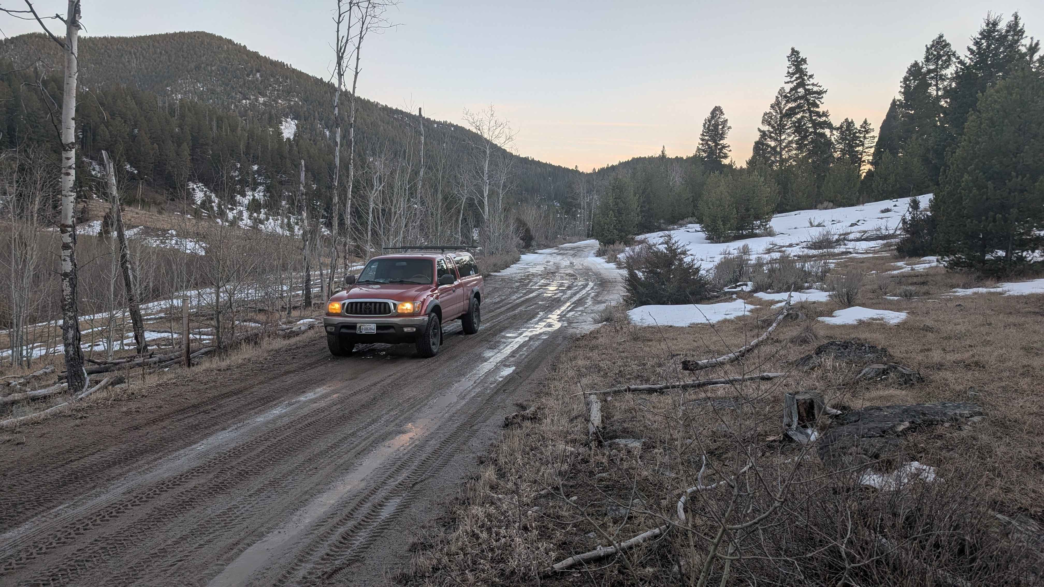
Trail Overview
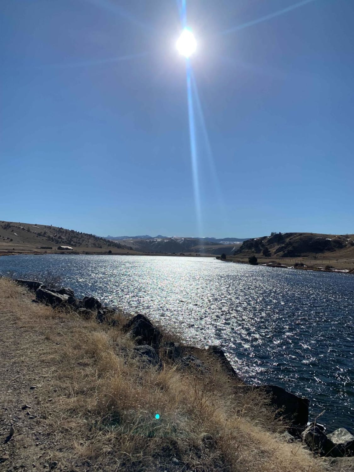
FS 85, beginning north of Rocker at just over 5,500 feet, is a single-lane trail that goes through several private land parcels before ascending to 6,900 feet. There are very minimal opportunities for camping south of the intersection with FS 608. Going west, staying on FS 85, opens up with a two-lane road into larger fields with multiple easy-moderate rated trails. FS 5165 leads south into multiple other forks where more camping, hiking, and potential hunting opportunities exist. Descending on the north-facing slope, there are logging efforts before returning to the Interstate 90 exit through other private parcels.
Photos of Flume Gultch
Difficulty
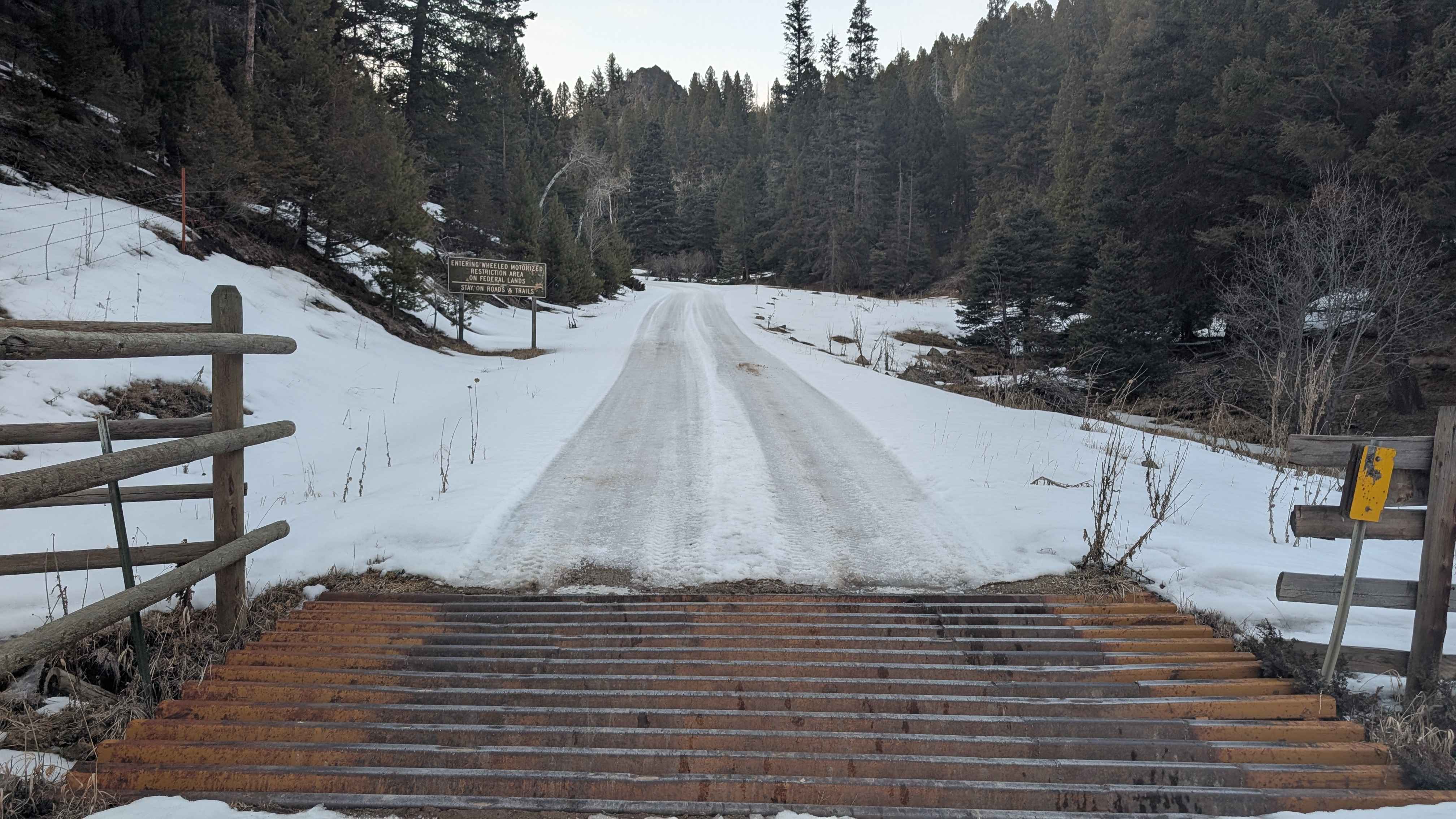
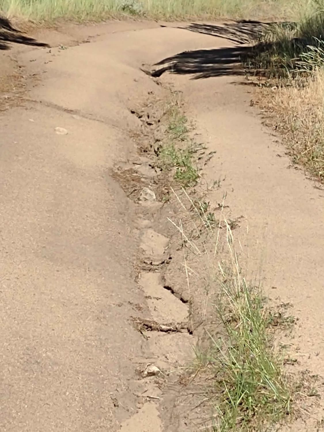
This trail is relatively easy. There were some mud holes and tight corners, but overall, the main trail was easy despite being tight and having a quick elevation gain. Roads forking off of FS 85 are significantly more challenging. Even in the winter, when snow filled the trail past 6,000 feet, the trail was passable. The intersection at FS 85 going west was plowed, but south of this intersection was not plowed.
Status Reports
Flume Gultch can be accessed by the following ride types:
- High-Clearance 4x4
- SUV
- SxS (60")
- ATV (50")
- Dirt Bike
Flume Gultch Map
Popular Trails
Little Wolf Creek Road
Wilson Creek Divide Road
High Mountain Meadows
Buffalo Jump - Black Fords Fish Access
The onX Offroad Difference
onX Offroad combines trail photos, descriptions, difficulty ratings, width restrictions, seasonality, and more in a user-friendly interface. Available on all devices, with offline access and full compatibility with CarPlay and Android Auto. Discover what you’re missing today!