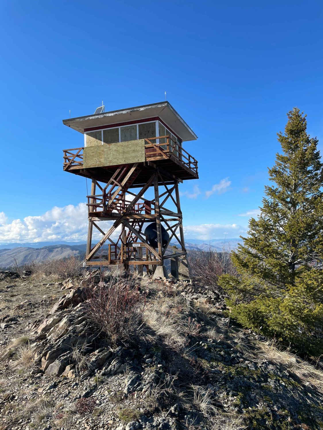
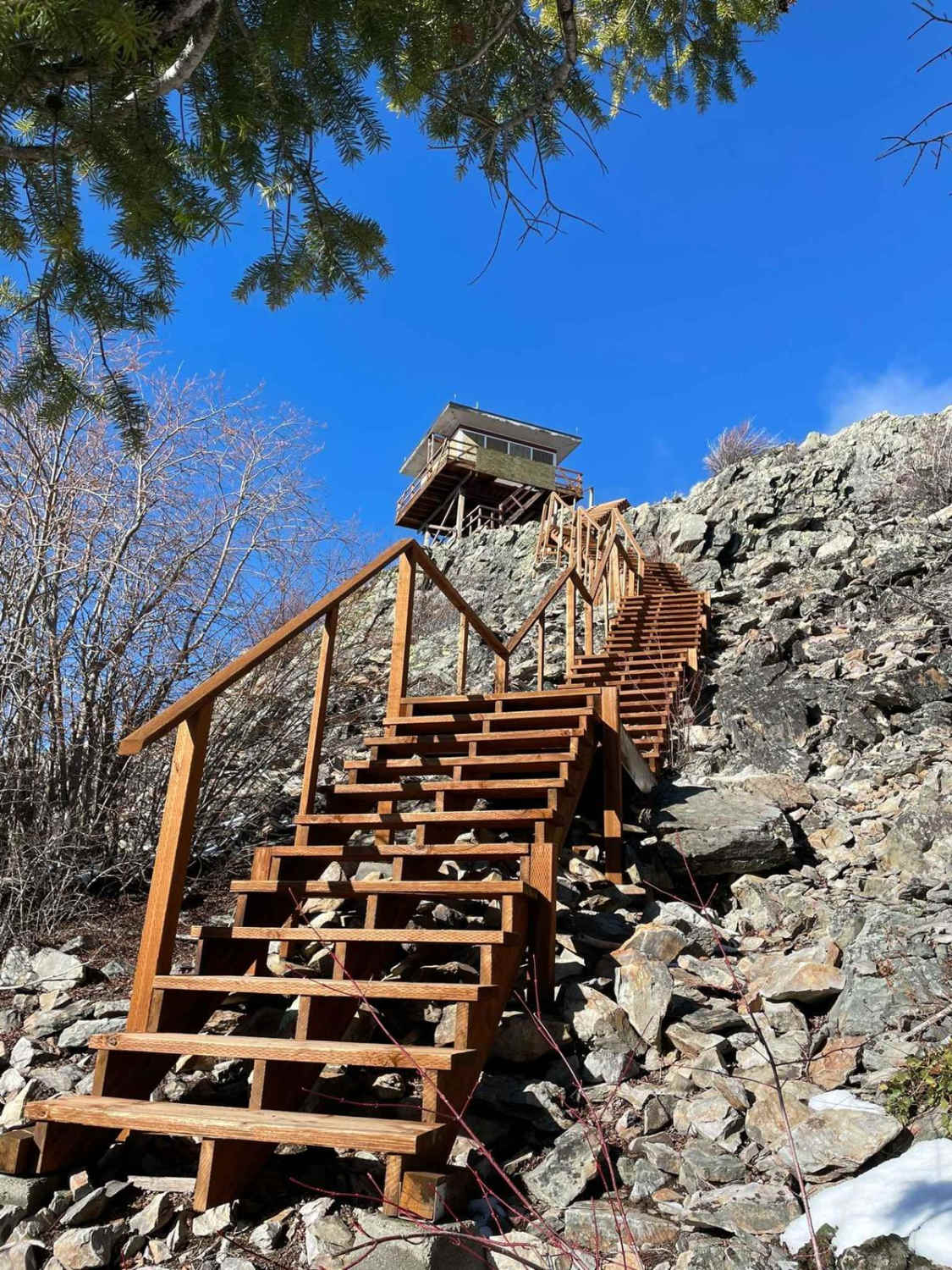
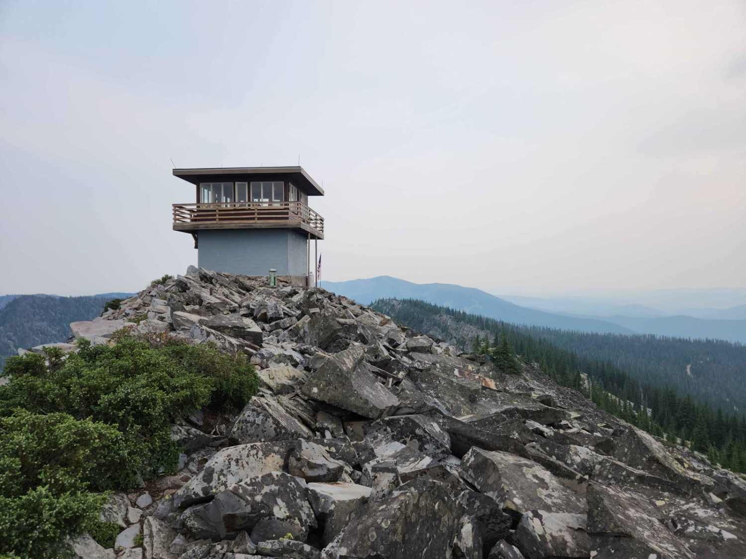
Ferry Basin Lookout Tower FB-3000
Total Miles
6.1
Technical Rating
Best Time
Summer, Fall
Trail Type
High-Clearance 4x4 Trail
Accessible By
Trail Overview
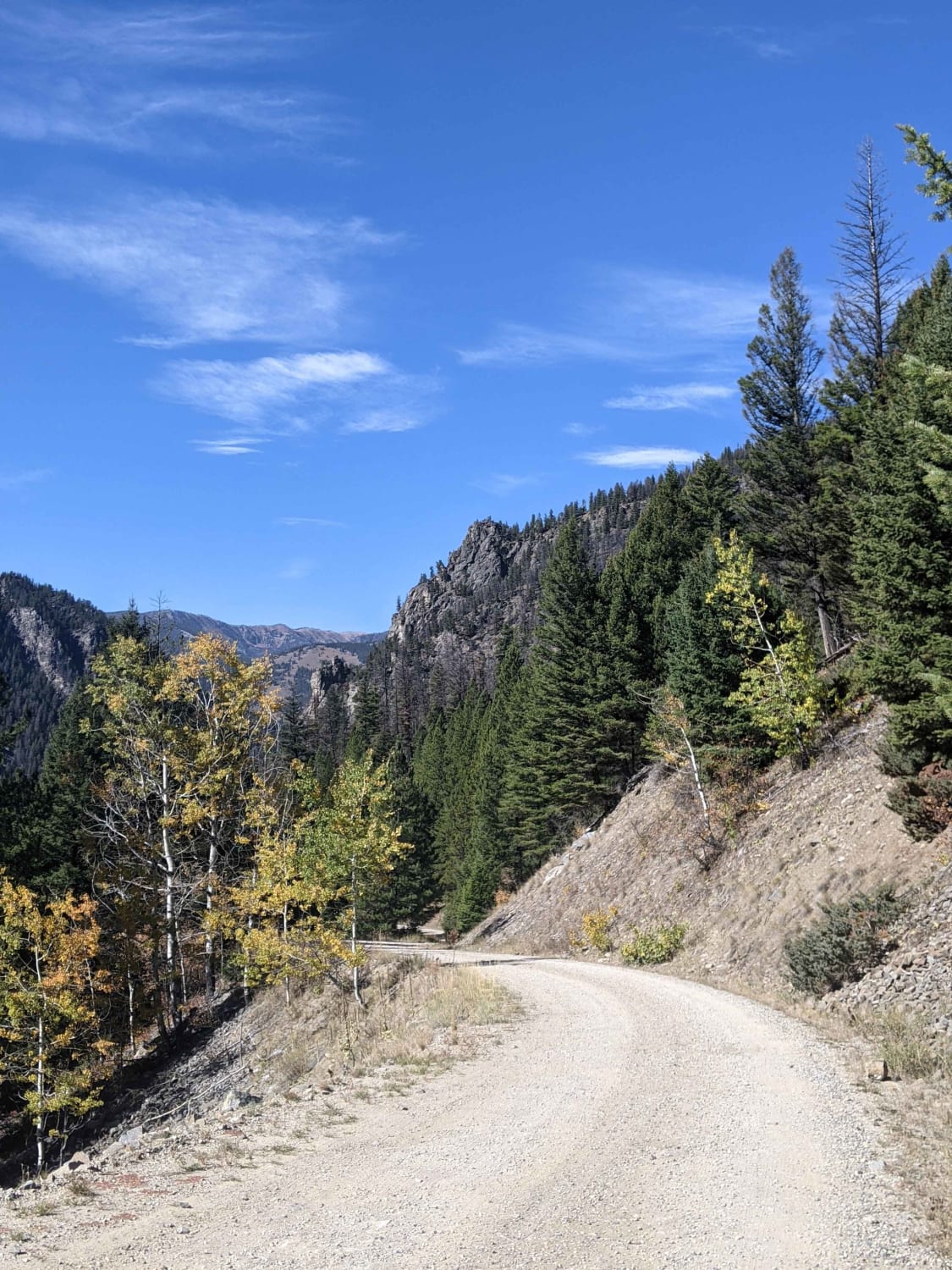
This mostly dirt road takes you to the Ferry Basin Lookout Tower from the south side of the mountain. On the way up, you will see the beautiful Mission Mountain Range with the Flathead River winding through the valleys below. The road starts pretty easy but quickly gets more difficult as it is a single lane with very limited places to pass and very steep drop-offs. You will drive through some loose shale areas along with grassy areas. It's recommended for short-wheelbase vehicles or smaller due to the 180-degree switchbacks on a very narrow road. This track is 100% on CS&KT tribal lands. Always check their rules and regulations. All recreational activities on tribal-owned lands require a non-member person over the age of 11 to purchase a Tribal Conservation Permit. The website for information is http://csktnrd.org/fwrc/recreation.
Photos of Ferry Basin Lookout Tower FB-3000
Difficulty
This is an uneven, rutted dirt trail with loose rocks, sand, grass, and shale. There are steep ledges and short off-camber grades. It's a single-lane road with limited places to pass. Short-wheelbase vehicles only are suggested to tackle the 180-degree switchbacks.
Status Reports
Ferry Basin Lookout Tower FB-3000 can be accessed by the following ride types:
- High-Clearance 4x4
- SxS (60")
- ATV (50")
Ferry Basin Lookout Tower FB-3000 Map
Popular Trails
North Branch of Martin Creek
Moose Creek to Portal Creek Rd
The onX Offroad Difference
onX Offroad combines trail photos, descriptions, difficulty ratings, width restrictions, seasonality, and more in a user-friendly interface. Available on all devices, with offline access and full compatibility with CarPlay and Android Auto. Discover what you’re missing today!
