Off-Road Trails in Montana
Discover off-road trails in Montana
Learn more about Lava Mountain Loop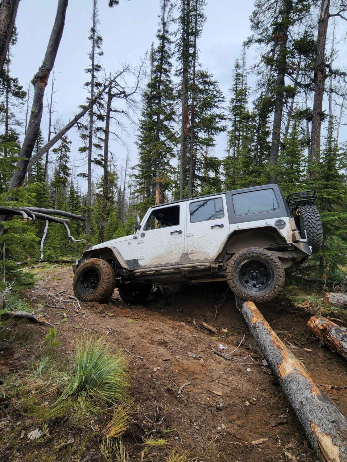
Lava Mountain Loop
Total Miles
29.2
Tech Rating
Moderate
Best Time
Fall, Summer

Learn more about Lemonade Road Part 1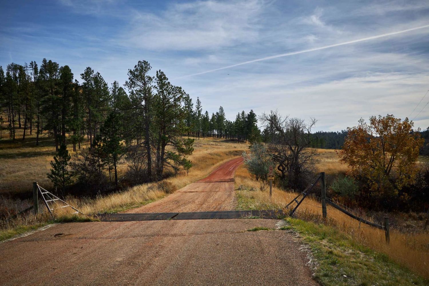
Lemonade Road Part 1
Total Miles
7.3
Tech Rating
Easy
Best Time
Spring, Summer, Fall
Learn more about Lemonade Road Pt 2
Lemonade Road Pt 2
Total Miles
3.3
Tech Rating
Easy
Best Time
Spring, Summer, Fall
Learn more about Lick Creek Road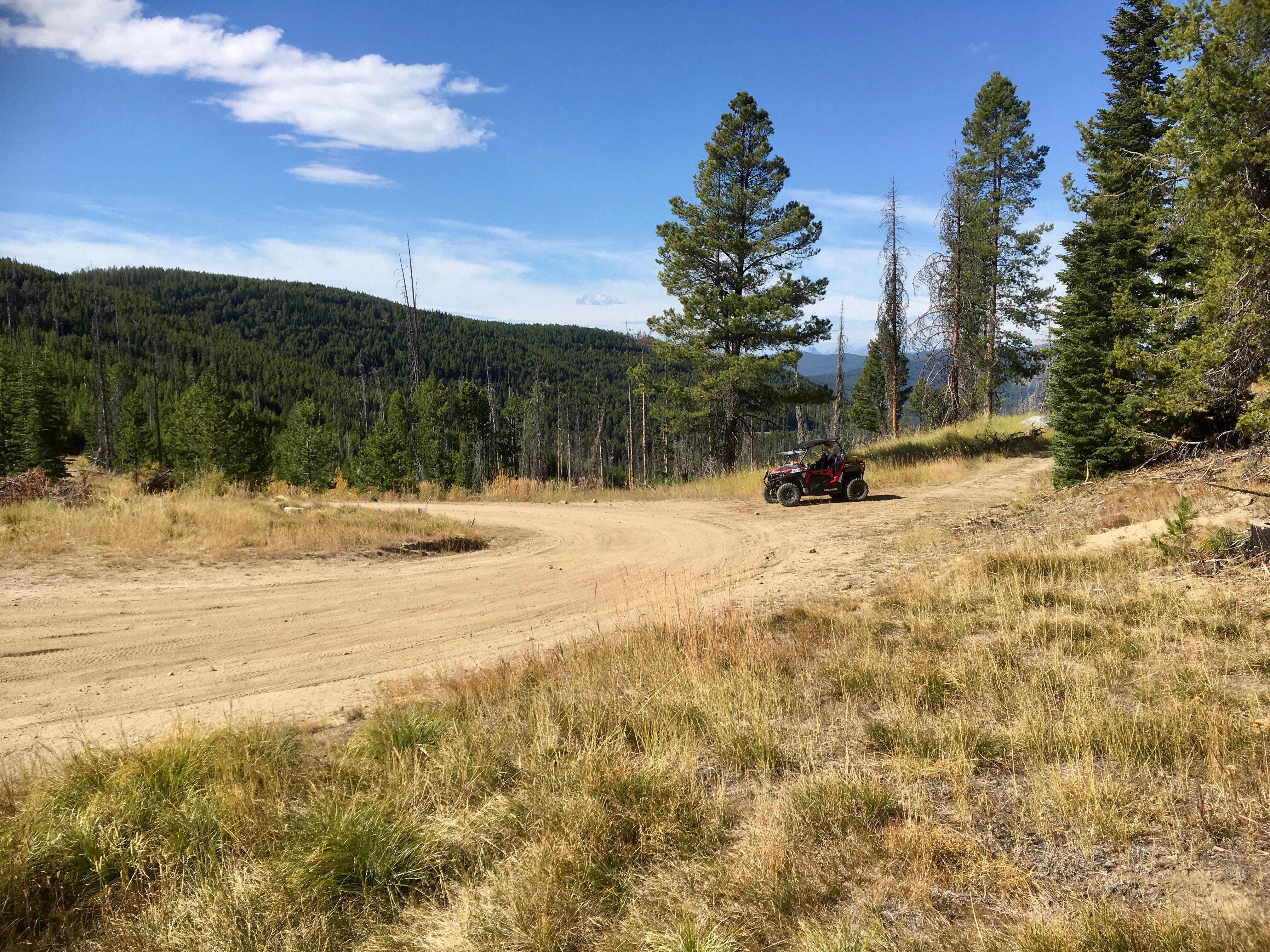
Lick Creek Road
Total Miles
6.0
Tech Rating
Easy
Best Time
Spring, Summer, Fall
Learn more about Lincoln Gulch Road
Lincoln Gulch Road
Total Miles
3.6
Tech Rating
Easy
Best Time
Spring, Summer, Fall
Learn more about Lincoln View ATV Trail
Lincoln View ATV Trail
Total Miles
9.9
Tech Rating
Easy
Best Time
Spring, Summer, Fall
Learn more about Lindbergh Lake
Lindbergh Lake
Total Miles
4.2
Tech Rating
Easy
Best Time
Fall, Summer, Spring
Learn more about Lindbergh to Meadow and Bunyan Lake
Lindbergh to Meadow and Bunyan Lake
Total Miles
5.2
Tech Rating
Easy
Best Time
Fall, Summer, Spring
Learn more about Lion Gulch 
Lion Gulch
Total Miles
1.4
Tech Rating
Moderate
Best Time
Fall, Summer, Spring
Learn more about Little Bear Road Offshoot
Little Bear Road Offshoot
Total Miles
3.4
Tech Rating
Easy
Best Time
Summer, Fall, Spring
Learn more about Little Bitteroot Road
Little Bitteroot Road
Total Miles
20.0
Tech Rating
Easy
Best Time
Spring, Summer, Winter, Fall
Learn more about Little Blackfoot
Little Blackfoot
Total Miles
12.9
Tech Rating
Easy
Best Time
Spring, Summer, Fall
Learn more about Little Blue Joint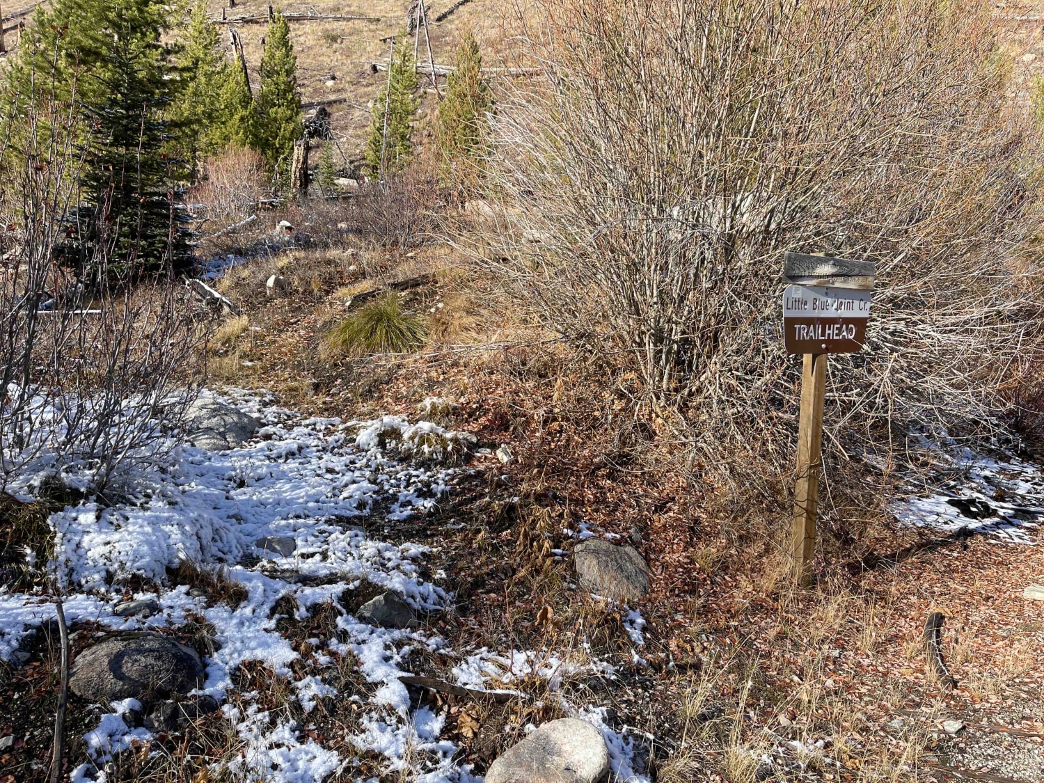
Little Blue Joint
Total Miles
2.6
Tech Rating
Easy
Best Time
Fall, Summer, Spring
Learn more about Little Boulder River Rd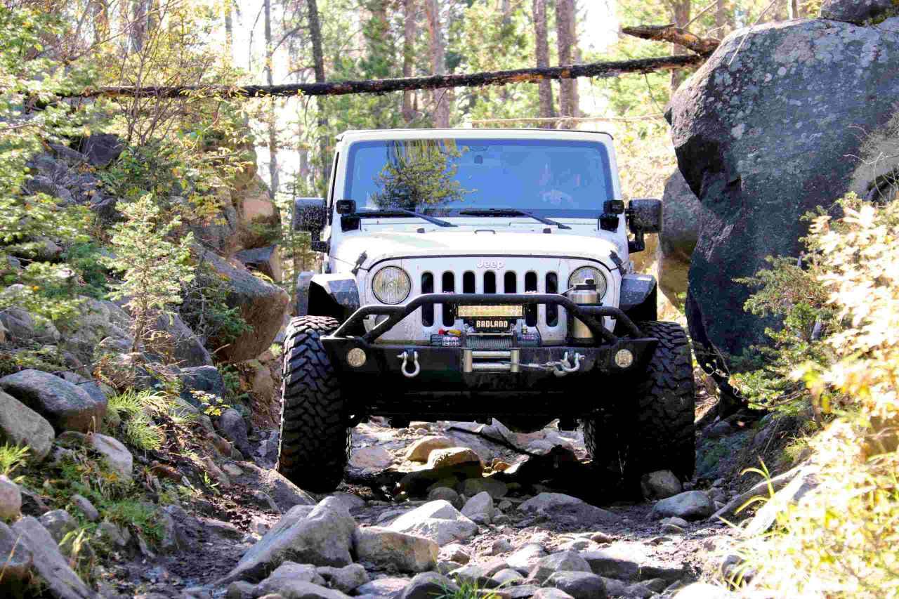
Little Boulder River Rd
Total Miles
9.3
Tech Rating
Easy
Best Time
Spring, Summer, Fall
Learn more about Little Boulder Side Trail
Little Boulder Side Trail
Total Miles
1.8
Tech Rating
Easy
Best Time
Spring, Summer, Fall
Learn more about Little Boulder Slate
Little Boulder Slate
Total Miles
4.4
Tech Rating
Easy
Best Time
Fall, Summer, Spring
Learn more about Little East Fork
Little East Fork
Total Miles
1.9
Tech Rating
Easy
Best Time
Summer, Fall, Spring
Learn more about Little Galena Trail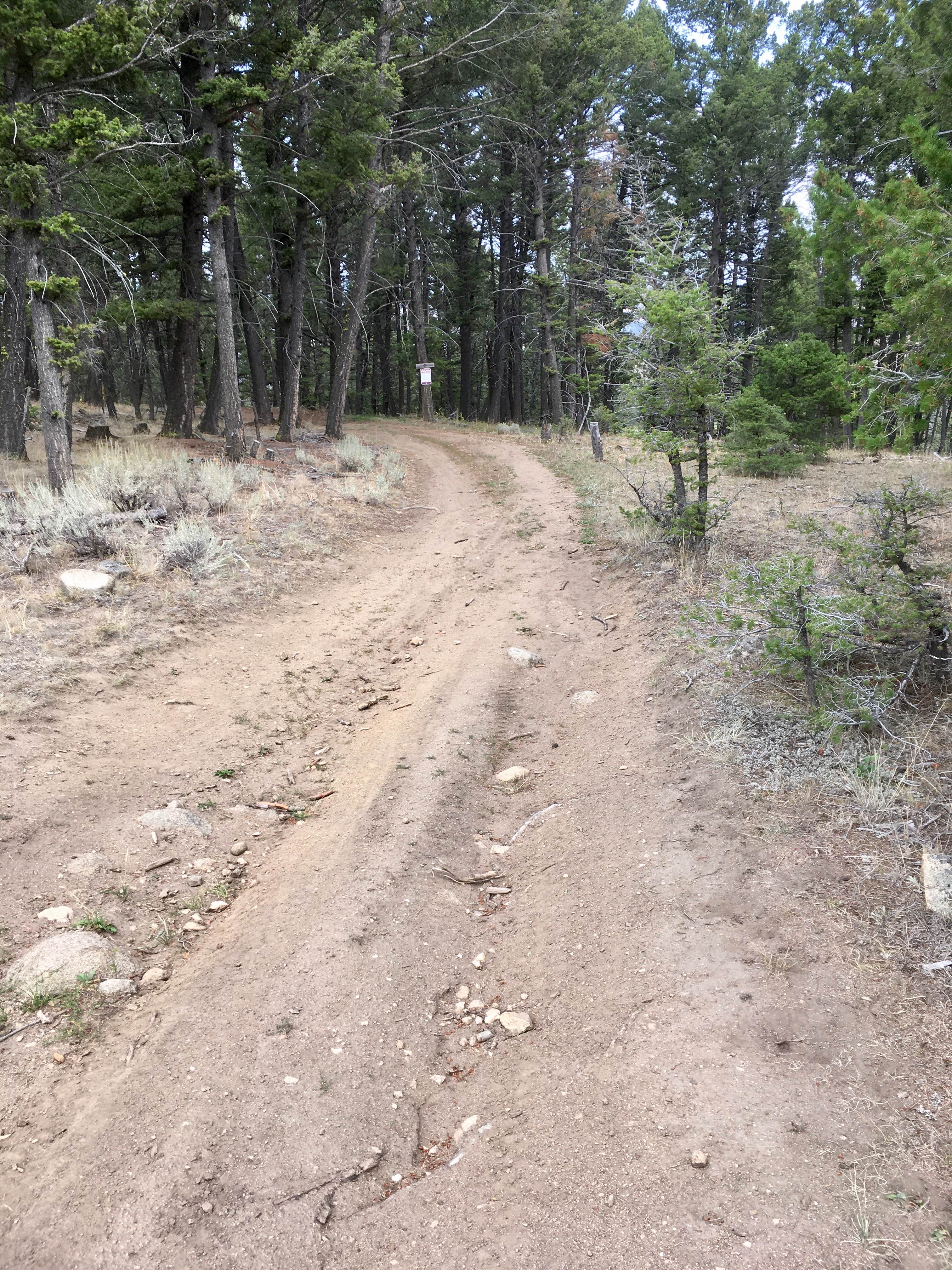
Little Galena Trail
Total Miles
2.9
Tech Rating
Moderate
Best Time
Spring, Summer, Fall
ATV trails in Montana
Learn more about $50,000 Silver Dollar Inn - FSR 288
$50,000 Silver Dollar Inn - FSR 288
Total Miles
7.5
Tech Rating
Easy
Best Time
Spring, Summer, Fall
Learn more about 2103 West Fork Gold Creek
2103 West Fork Gold Creek
Total Miles
5.7
Tech Rating
Easy
Best Time
Spring, Summer, Fall, Winter
Learn more about 4W-7736 - Big Flat Trail
4W-7736 - Big Flat Trail
Total Miles
3.6
Tech Rating
Easy
Best Time
Spring, Summer, Fall
Learn more about 4W-7829 - Mink Peak Jeep Trail
4W-7829 - Mink Peak Jeep Trail
Total Miles
4.4
Tech Rating
Easy
Best Time
Spring, Summer, Fall
UTV/side-by-side trails in Montana
Learn more about $50,000 Silver Dollar Inn - FSR 288
$50,000 Silver Dollar Inn - FSR 288
Total Miles
7.5
Tech Rating
Easy
Best Time
Spring, Summer, Fall
Learn more about 2103 West Fork Gold Creek
2103 West Fork Gold Creek
Total Miles
5.7
Tech Rating
Easy
Best Time
Spring, Summer, Fall, Winter
Learn more about 4W-7736 - Big Flat Trail
4W-7736 - Big Flat Trail
Total Miles
3.6
Tech Rating
Easy
Best Time
Spring, Summer, Fall
Learn more about 4W-7829 - Mink Peak Jeep Trail
4W-7829 - Mink Peak Jeep Trail
Total Miles
4.4
Tech Rating
Easy
Best Time
Spring, Summer, Fall
The onX Offroad Difference
onX Offroad combines trail photos, descriptions, difficulty ratings, width restrictions, seasonality, and more in a user-friendly interface. Available on all devices, with offline access and full compatibility with CarPlay and Android Auto. Discover what you’re missing today!