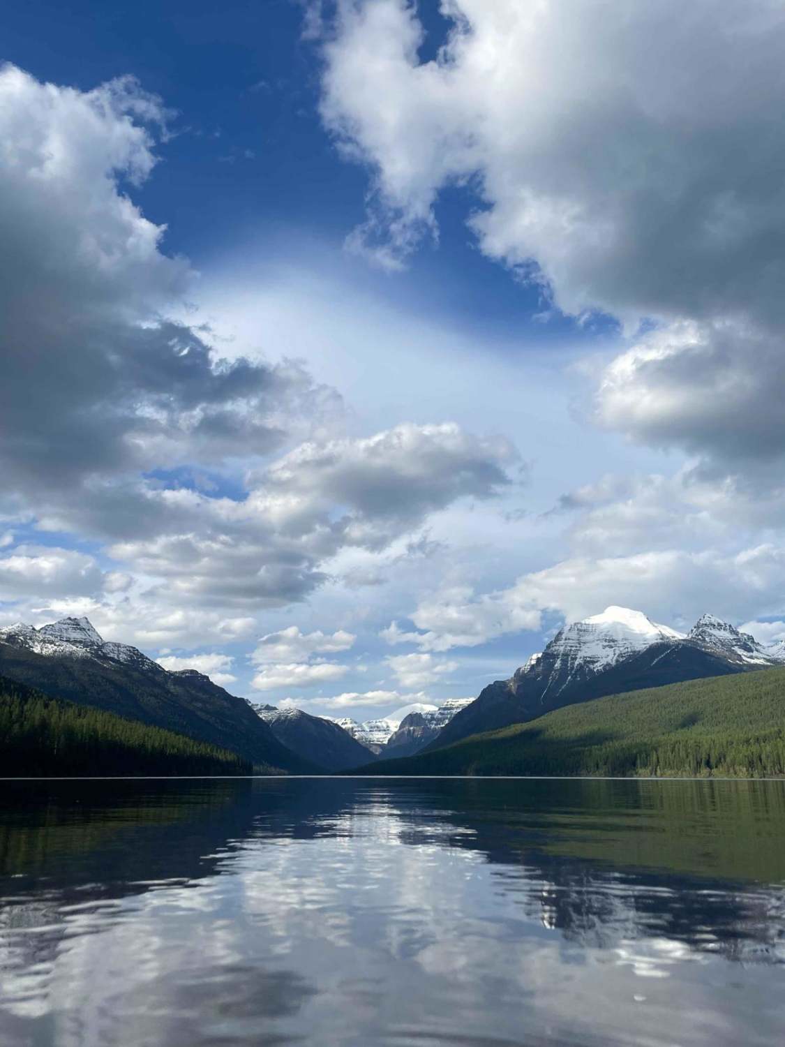
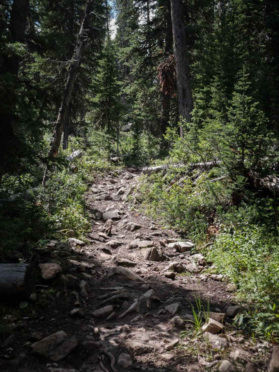
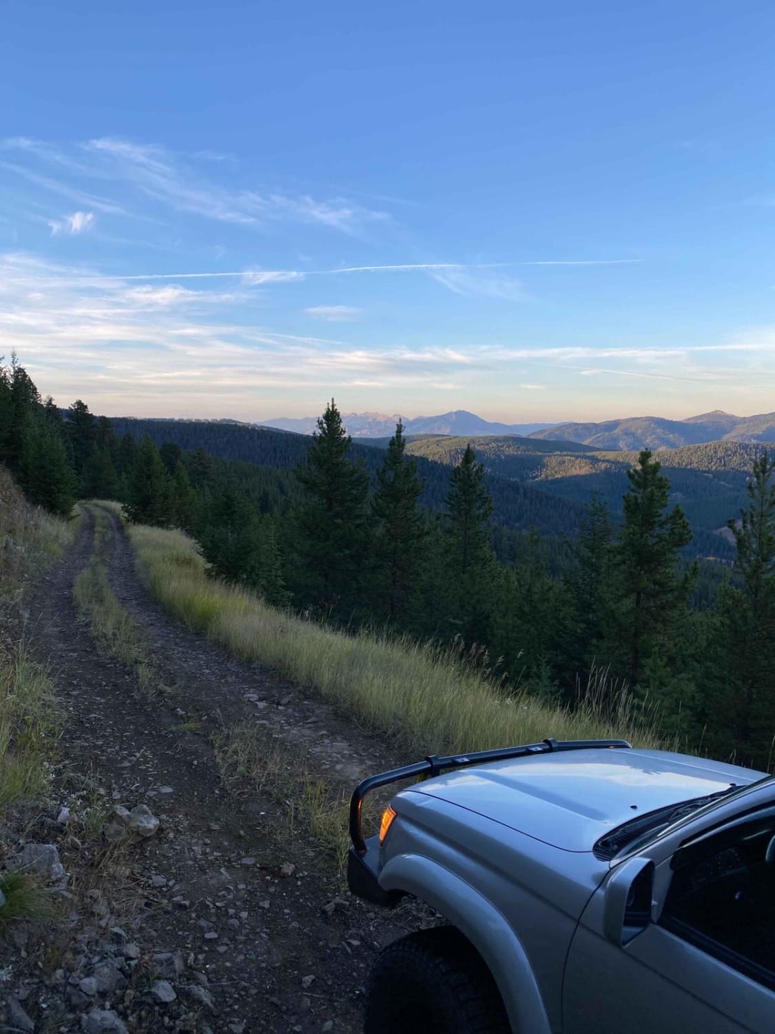
Off-Road Trails in Montana
Discover off-road trails in Montana
Learn more about Jewel Basin Road
Jewel Basin Road
Total Miles
6.3
Tech Rating
Easy
Best Time
Spring, Summer, Fall
Learn more about Jocko Canyon Road
Jocko Canyon Road
Total Miles
4.1
Tech Rating
Easy
Best Time
Summer, Fall
Learn more about Johnny Ridge Road - FS324
Johnny Ridge Road - FS324
Total Miles
15.3
Tech Rating
Easy
Best Time
Summer, Fall
Learn more about Johnson Creek to Superior
Johnson Creek to Superior
Total Miles
18.7
Tech Rating
Easy
Best Time
Summer, Fall
Learn more about Johnson Peak Trailhead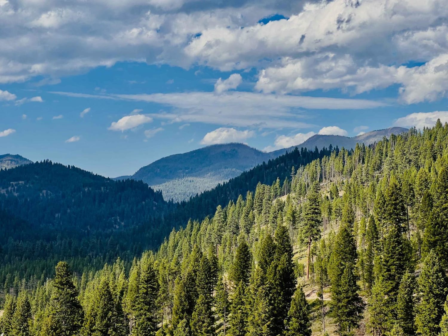
Johnson Peak Trailhead
Total Miles
5.1
Tech Rating
Easy
Best Time
Fall, Summer, Spring
Learn more about Johnson-First Creek Road-W.Side Ninemile Road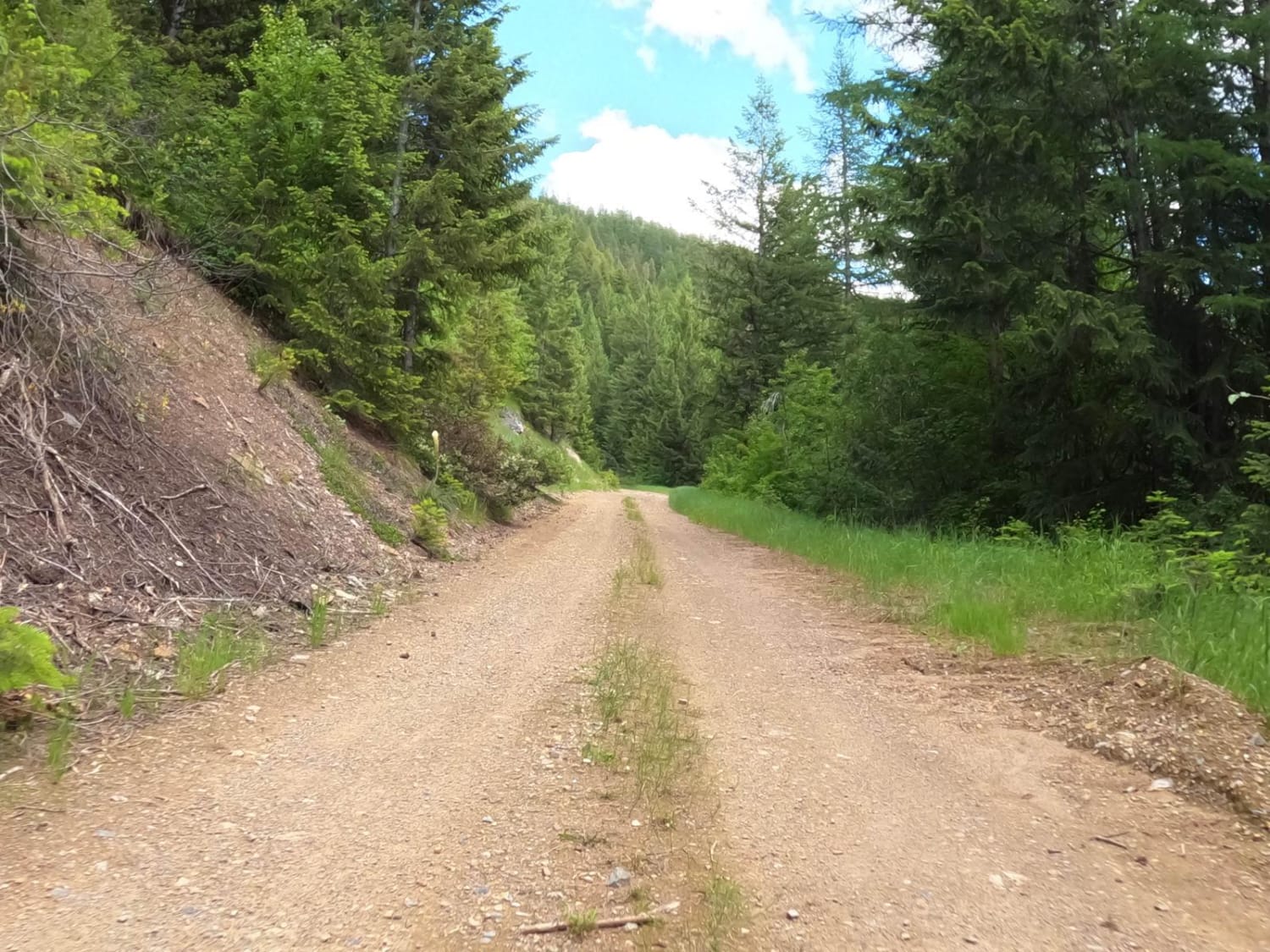
Johnson-First Creek Road-W.Side Ninemile Road
Total Miles
10.2
Tech Rating
Easy
Best Time
Spring, Summer, Fall
Learn more about Kennedy Ridge 5507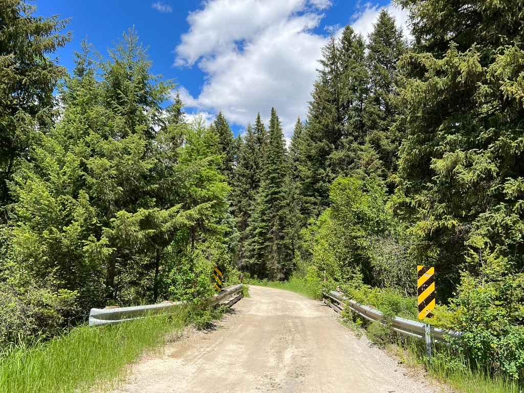
Kennedy Ridge 5507
Total Miles
8.8
Tech Rating
Easy
Best Time
Spring, Summer, Fall
Learn more about Kerlee Ridge ATV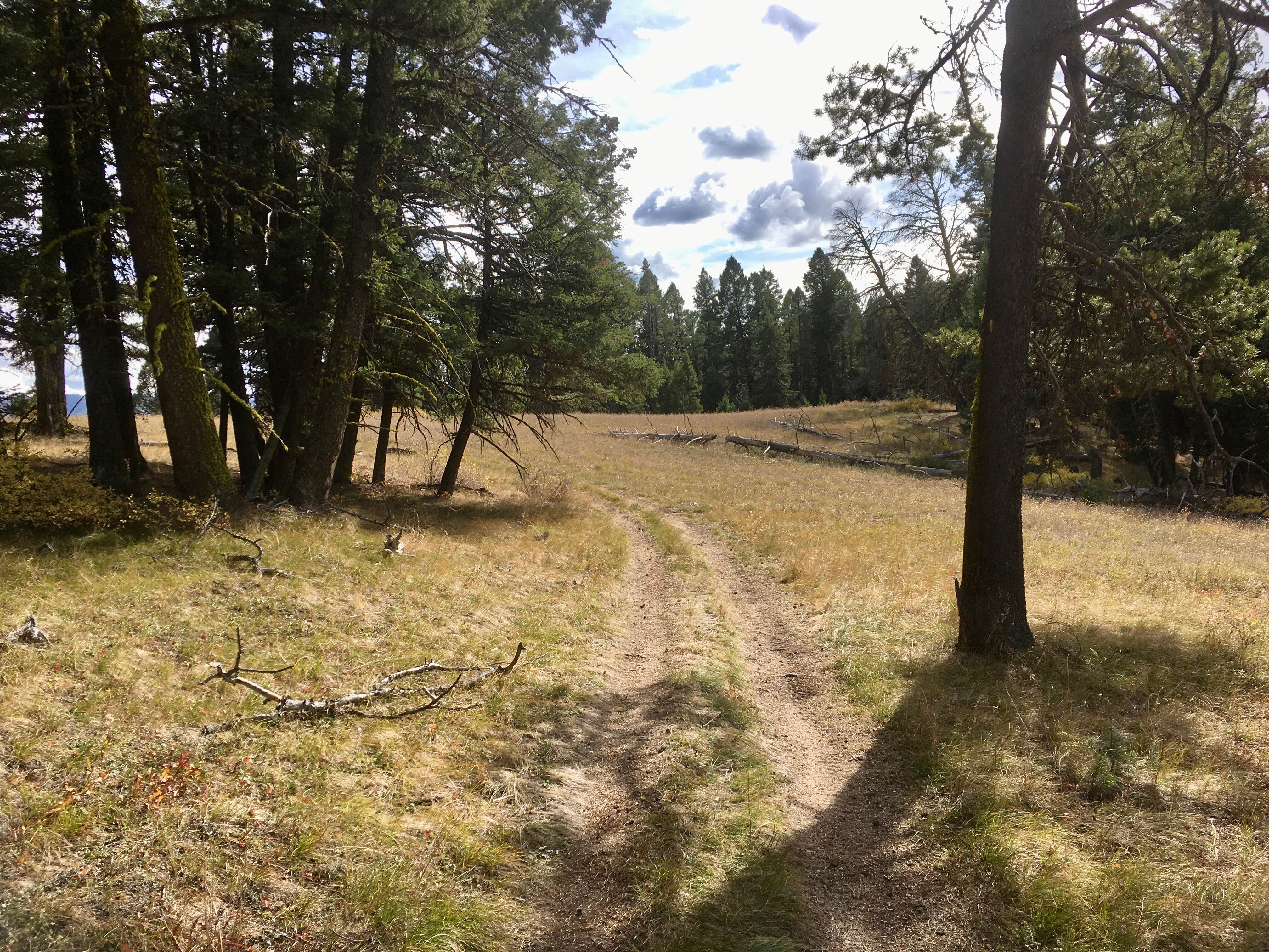
Kerlee Ridge ATV
Total Miles
2.8
Tech Rating
Moderate
Best Time
Spring, Summer, Fall
Learn more about King Trail #2011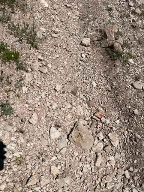
King Trail #2011
Total Miles
3.6
Tech Rating
Moderate
Best Time
Spring, Summer, Fall
Learn more about Lairds Epic View Draw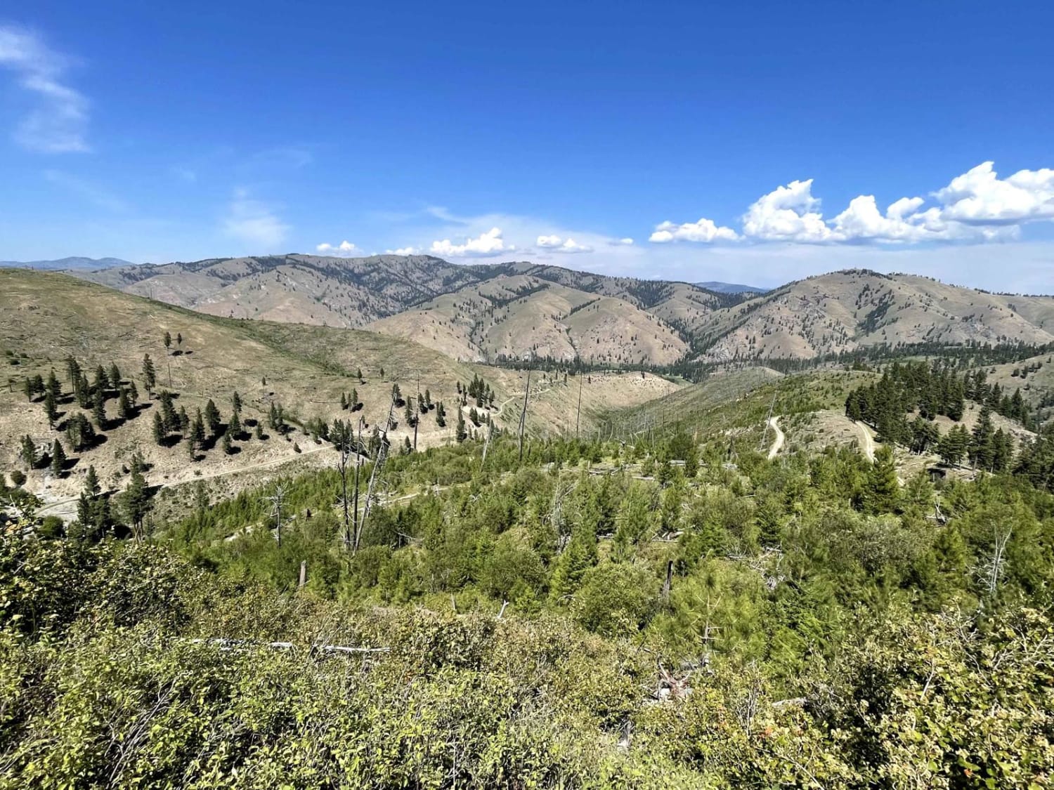
Lairds Epic View Draw
Total Miles
6.2
Tech Rating
Easy
Best Time
Fall, Summer, Spring
Learn more about Lake Inez Campground Loop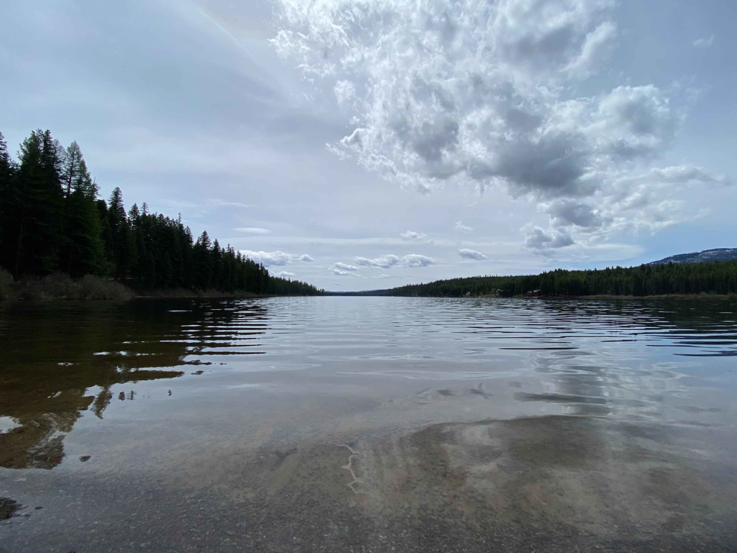
Lake Inez Campground Loop
Total Miles
1.2
Tech Rating
Easy
Best Time
Fall, Summer, Spring
Learn more about Lake Marshall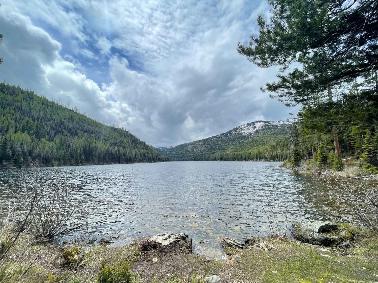
Lake Marshall
Total Miles
6.7
Tech Rating
Easy
Best Time
Fall, Summer, Spring
Learn more about Lakeside to Blacktail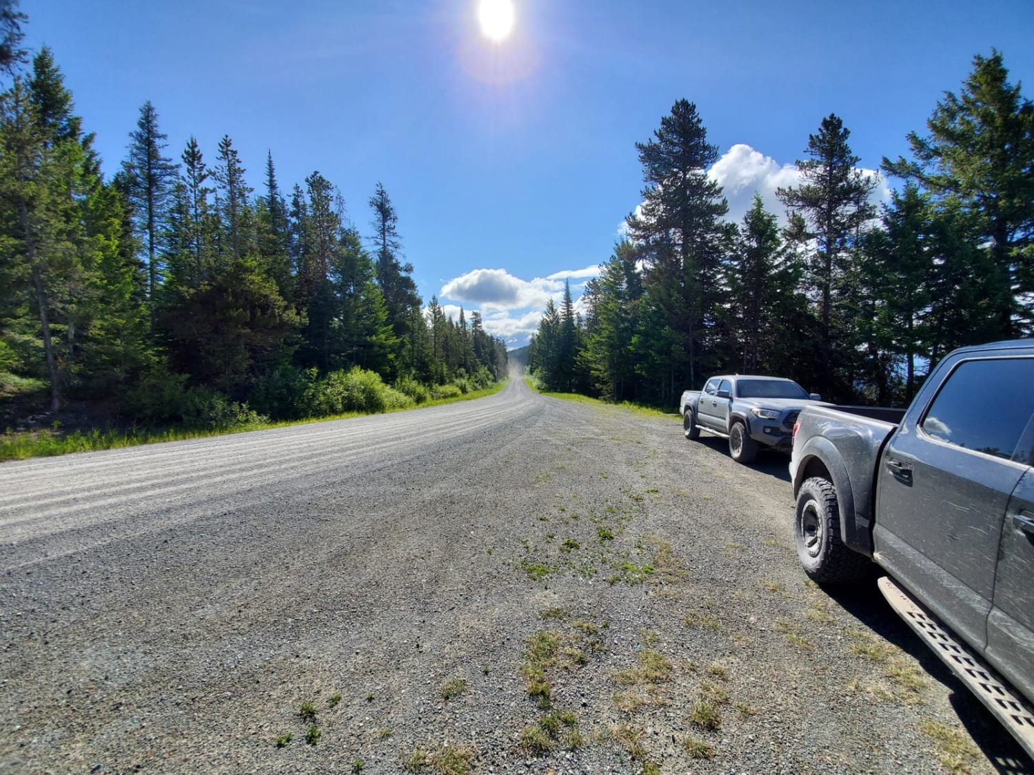
Lakeside to Blacktail
Total Miles
7.2
Tech Rating
Easy
Best Time
Spring, Summer, Fall, Winter
Learn more about Larch Camp Road
Larch Camp Road
Total Miles
1.7
Tech Rating
Easy
Best Time
Spring, Summer, Fall
ATV trails in Montana
Learn more about $50,000 Silver Dollar Inn - FSR 288
$50,000 Silver Dollar Inn - FSR 288
Total Miles
7.5
Tech Rating
Easy
Best Time
Spring, Summer, Fall
Learn more about 2103 West Fork Gold Creek
2103 West Fork Gold Creek
Total Miles
5.7
Tech Rating
Easy
Best Time
Spring, Summer, Fall, Winter
Learn more about 4W-7736 - Big Flat Trail
4W-7736 - Big Flat Trail
Total Miles
3.6
Tech Rating
Easy
Best Time
Spring, Summer, Fall
Learn more about 4W-7829 - Mink Peak Jeep Trail
4W-7829 - Mink Peak Jeep Trail
Total Miles
4.4
Tech Rating
Easy
Best Time
Spring, Summer, Fall
UTV/side-by-side trails in Montana
Learn more about $50,000 Silver Dollar Inn - FSR 288
$50,000 Silver Dollar Inn - FSR 288
Total Miles
7.5
Tech Rating
Easy
Best Time
Spring, Summer, Fall
Learn more about 2103 West Fork Gold Creek
2103 West Fork Gold Creek
Total Miles
5.7
Tech Rating
Easy
Best Time
Spring, Summer, Fall, Winter
Learn more about 4W-7736 - Big Flat Trail
4W-7736 - Big Flat Trail
Total Miles
3.6
Tech Rating
Easy
Best Time
Spring, Summer, Fall
Learn more about 4W-7829 - Mink Peak Jeep Trail
4W-7829 - Mink Peak Jeep Trail
Total Miles
4.4
Tech Rating
Easy
Best Time
Spring, Summer, Fall
The onX Offroad Difference
onX Offroad combines trail photos, descriptions, difficulty ratings, width restrictions, seasonality, and more in a user-friendly interface. Available on all devices, with offline access and full compatibility with CarPlay and Android Auto. Discover what you’re missing today!