Johnson-First Creek Road-W.Side Ninemile Road
Total Miles
10.2
Technical Rating
Best Time
Spring, Summer, Fall
Trail Type
Full-Width Road
Accessible By
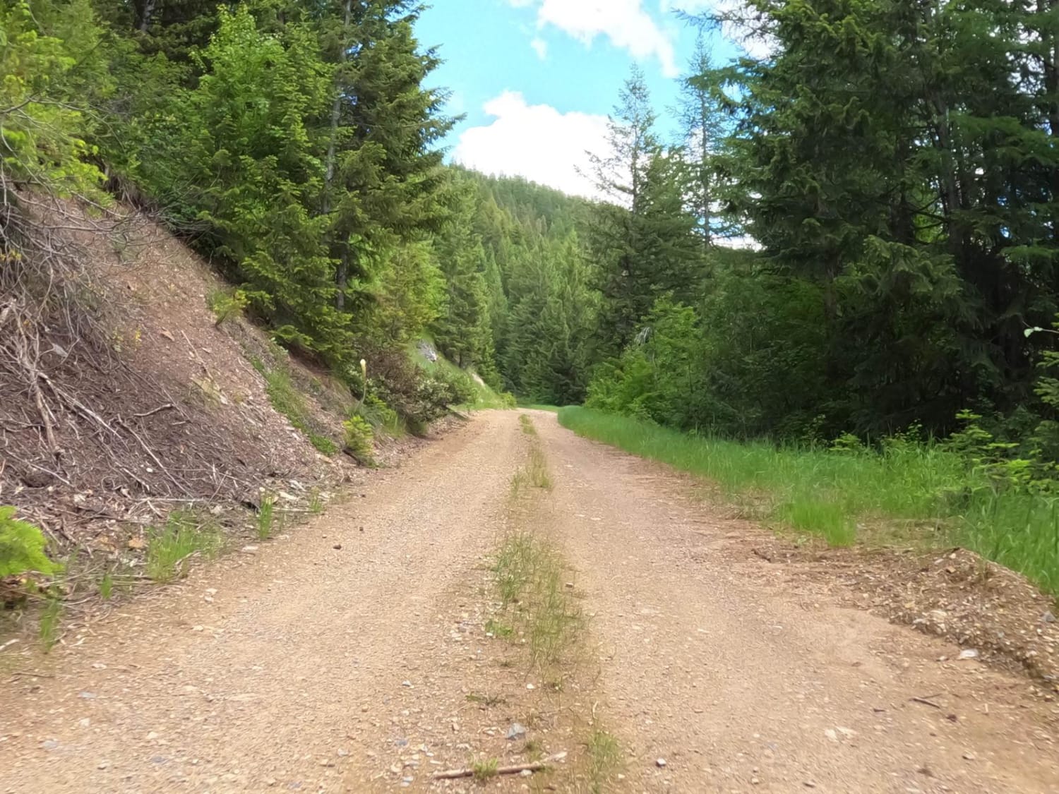
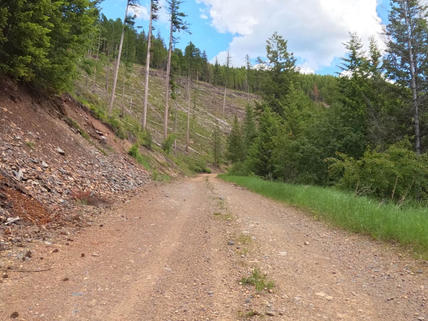
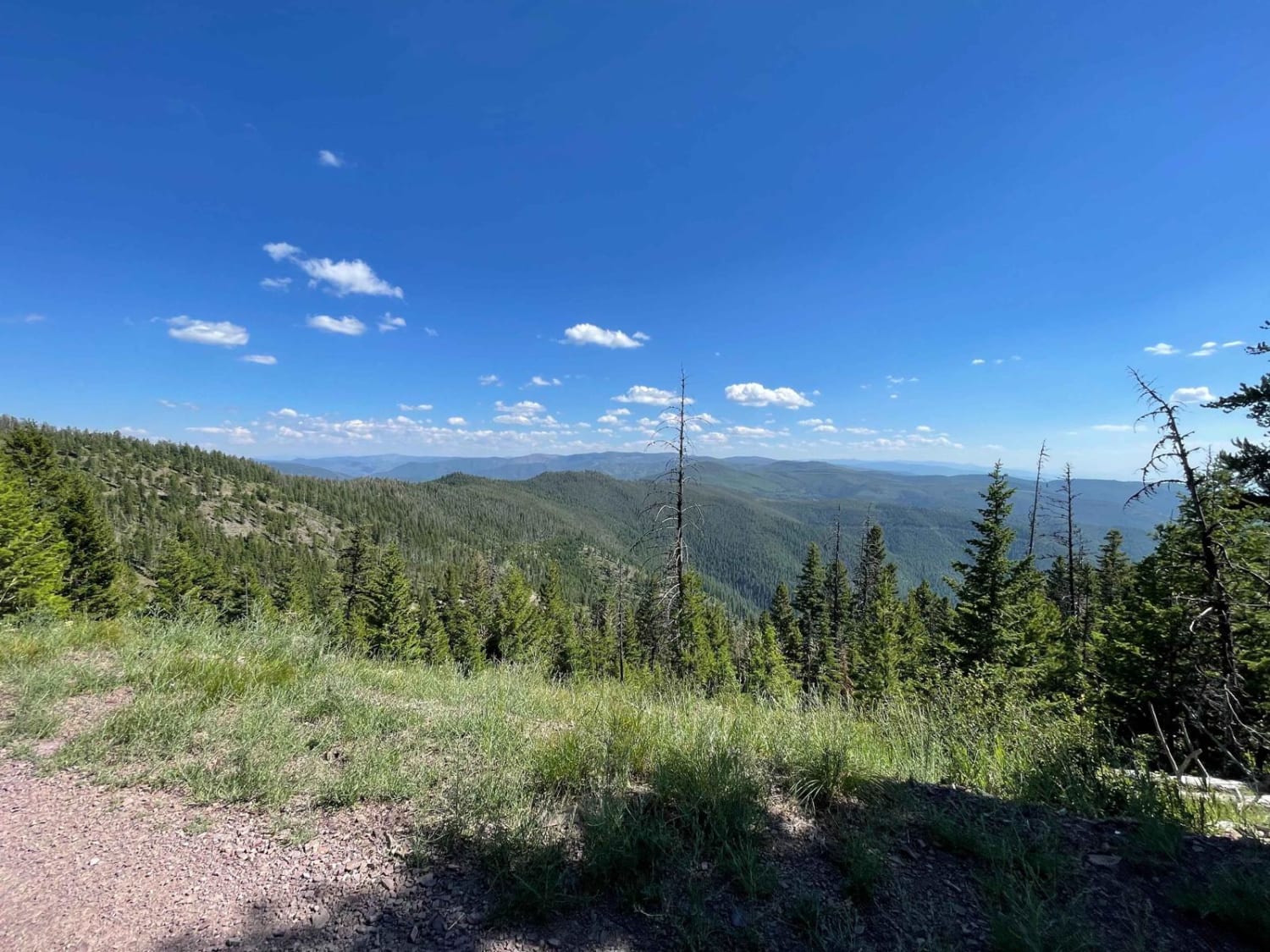
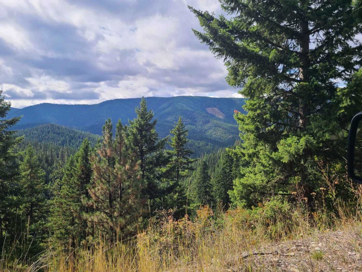
Trail Overview
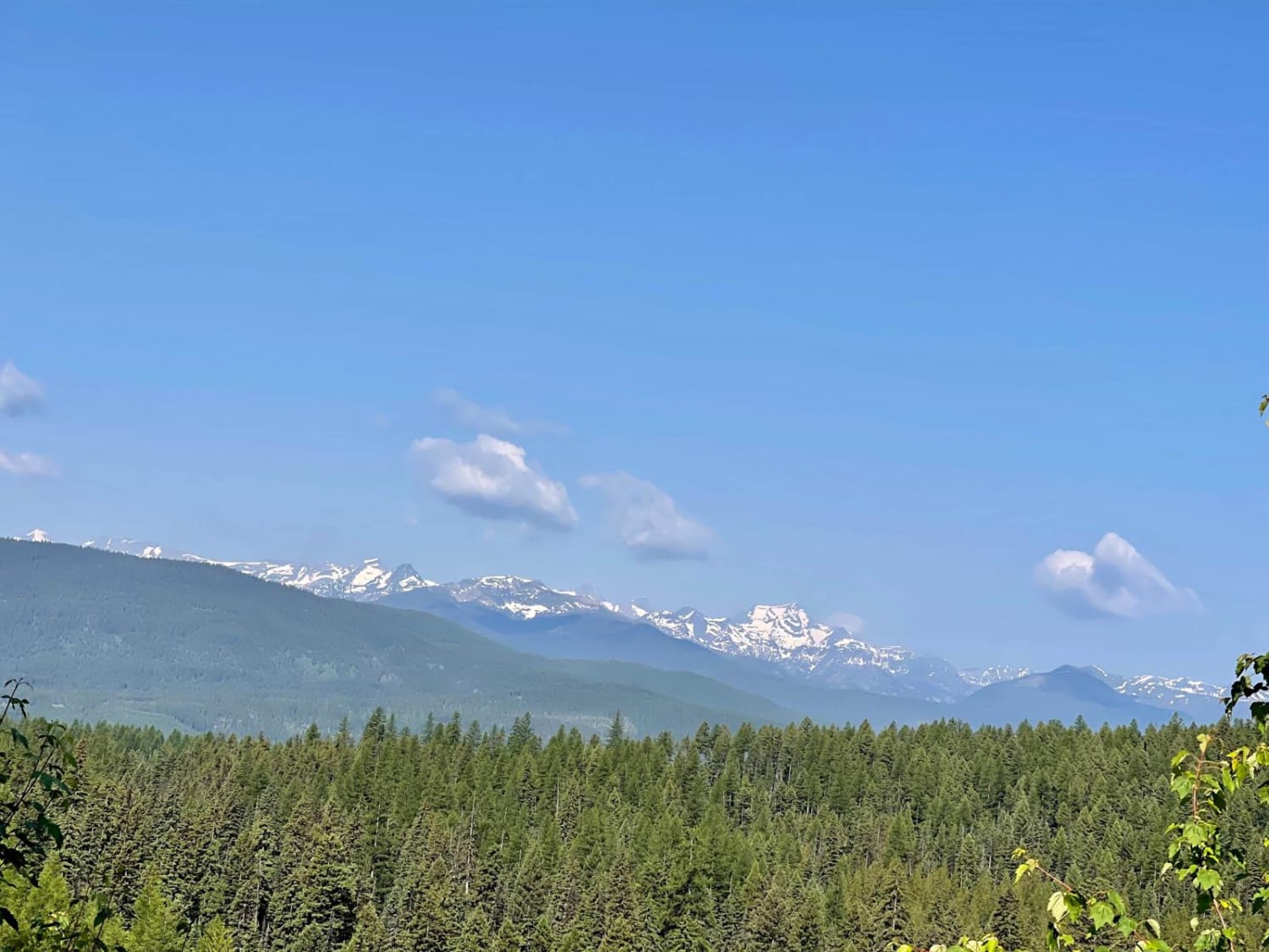
The route begins on a gravel road that is plenty wide for two vehicles to pass. The route will make a gradual climb from 4800'-6400'. Some areas of the route have been recently logged with large areas of new growth. There is a large flora of Bear Grass in the higher elevations in the early summer. The route is very scenic looking into the Northern and Eastern parts of the Lolo National Forest. A late spring snow melt could stop you from completing the route. Offline Maps will need to be loaded, as a lack of cell service in some areas.
Photos of Johnson-First Creek Road-W.Side Ninemile Road
Difficulty
Some of the route has high ledges and loose sharp rock. A spare tire or a Flat Repair Kit could come in handy.
Johnson-First Creek Road-W.Side Ninemile Road can be accessed by the following ride types:
- High-Clearance 4x4
- SUV
- SxS (60")
- ATV (50")
- Dirt Bike
Johnson-First Creek Road-W.Side Ninemile Road Map
Popular Trails

Sun Canyon Road
Camels Hump - FS 3800
Morrell Clearwater North
The onX Offroad Difference
onX Offroad combines trail photos, descriptions, difficulty ratings, width restrictions, seasonality, and more in a user-friendly interface. Available on all devices, with offline access and full compatibility with CarPlay and Android Auto. Discover what you’re missing today!