Independence Pass
Total Miles
10.2
Technical Rating
Best Time
Summer
Trail Type
High-Clearance 4x4 Trail
Accessible By
Trail Overview
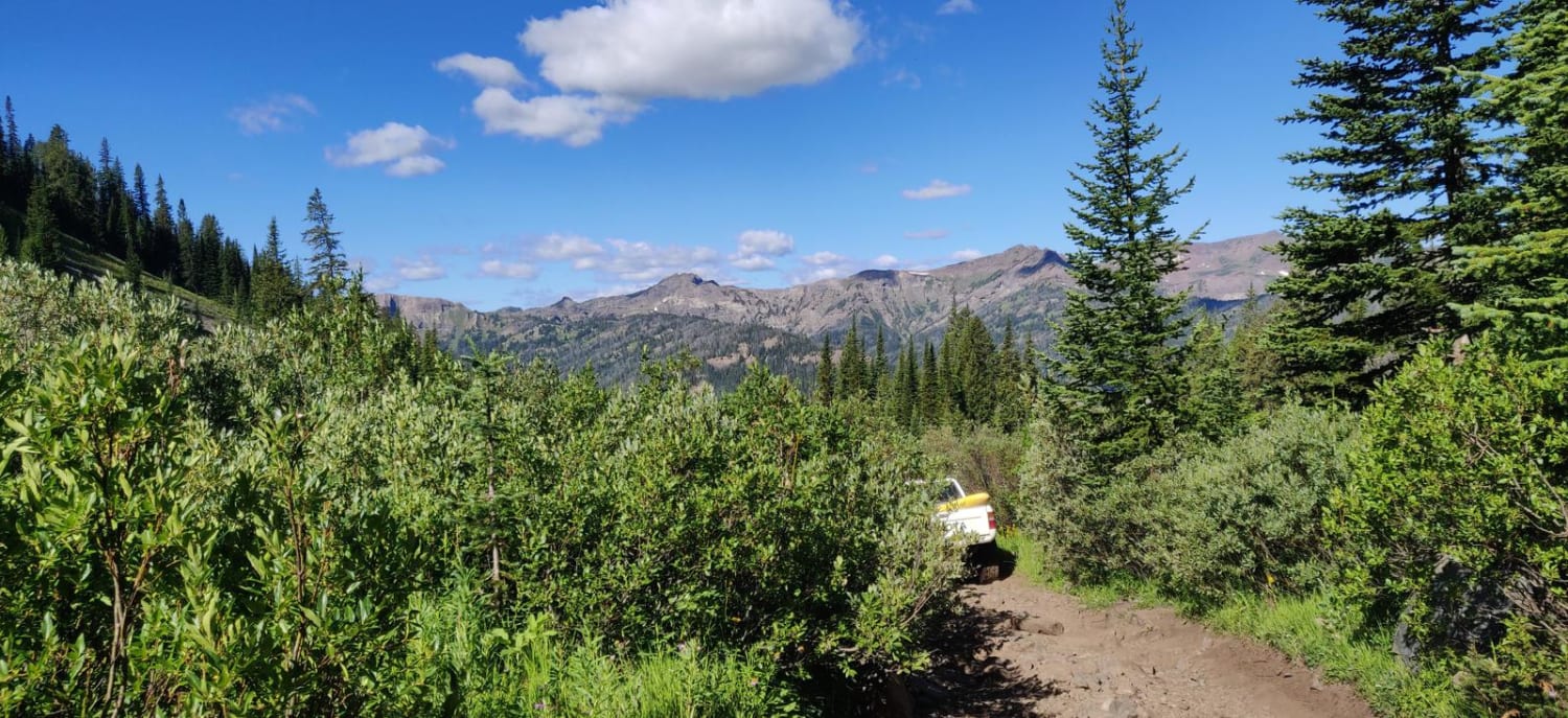
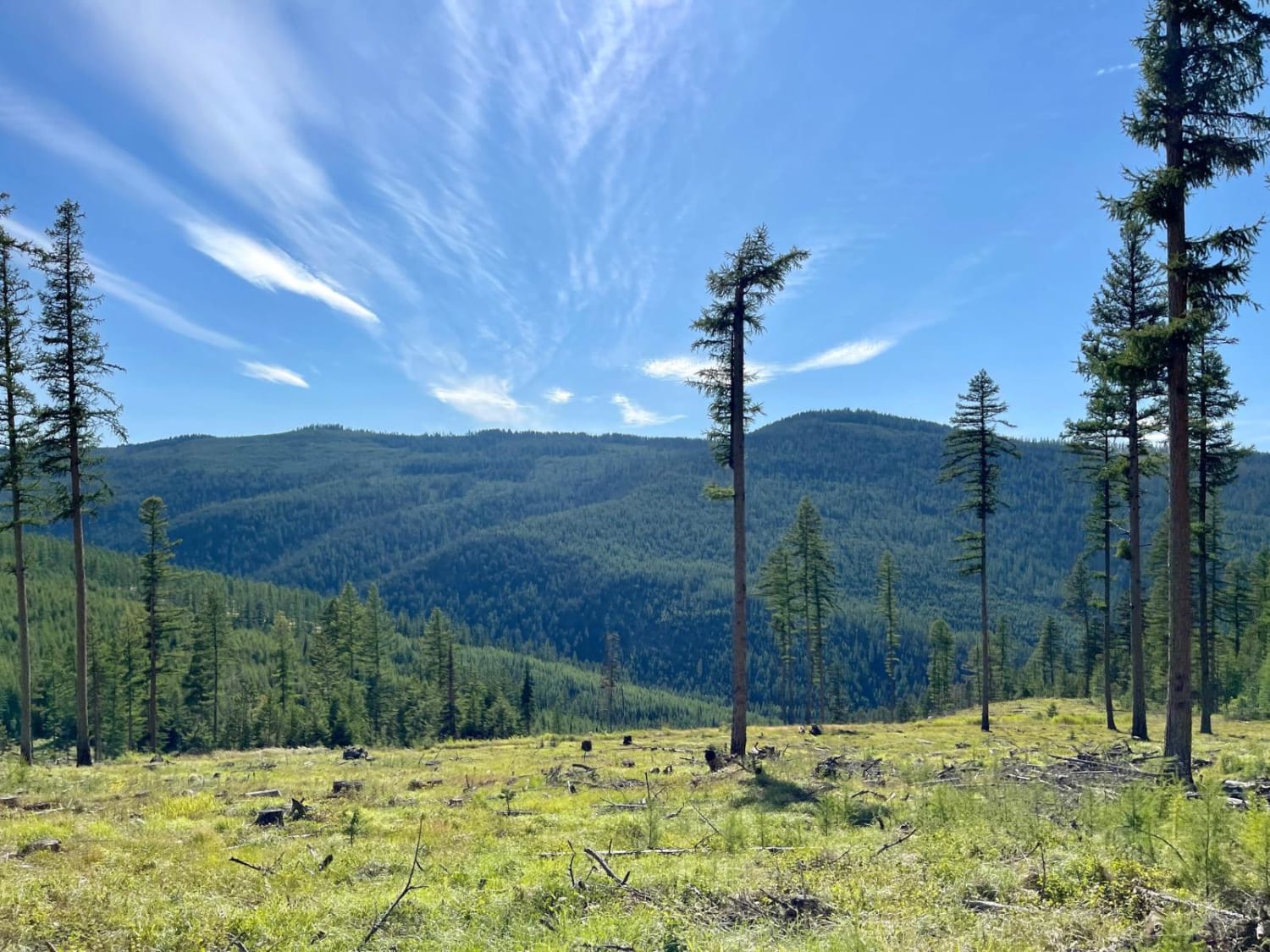
Independence Pass takes you from the bottom of the Boulder River Valley up through a very wooded trail with occasional glimpses of the surrounding mountains up to Blue Lake at the summit. Camping towards the top is abundant with many great places to pull off and make camp. Be aware of the dense bear population in the area however, and there will be no shortage of bugs once you clear the tree line.
Photos of Independence Pass
Difficulty
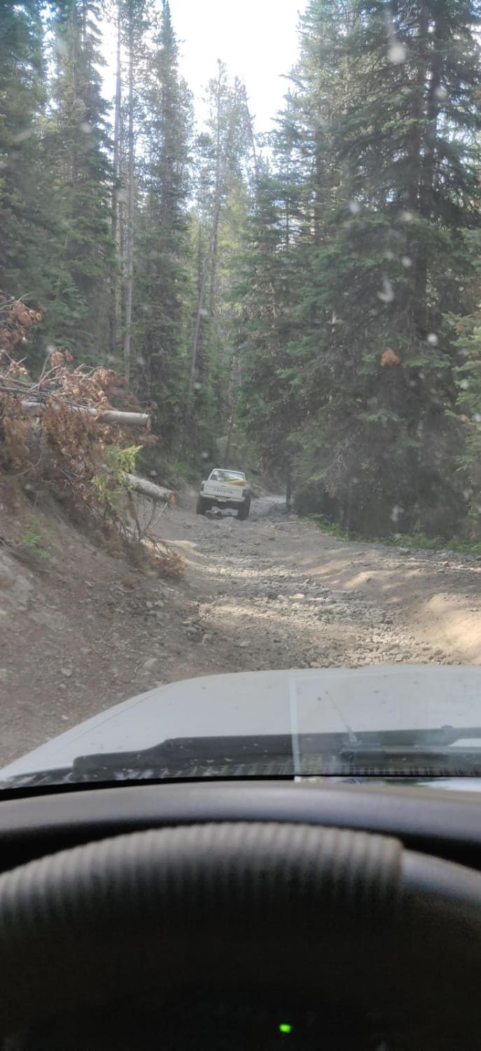
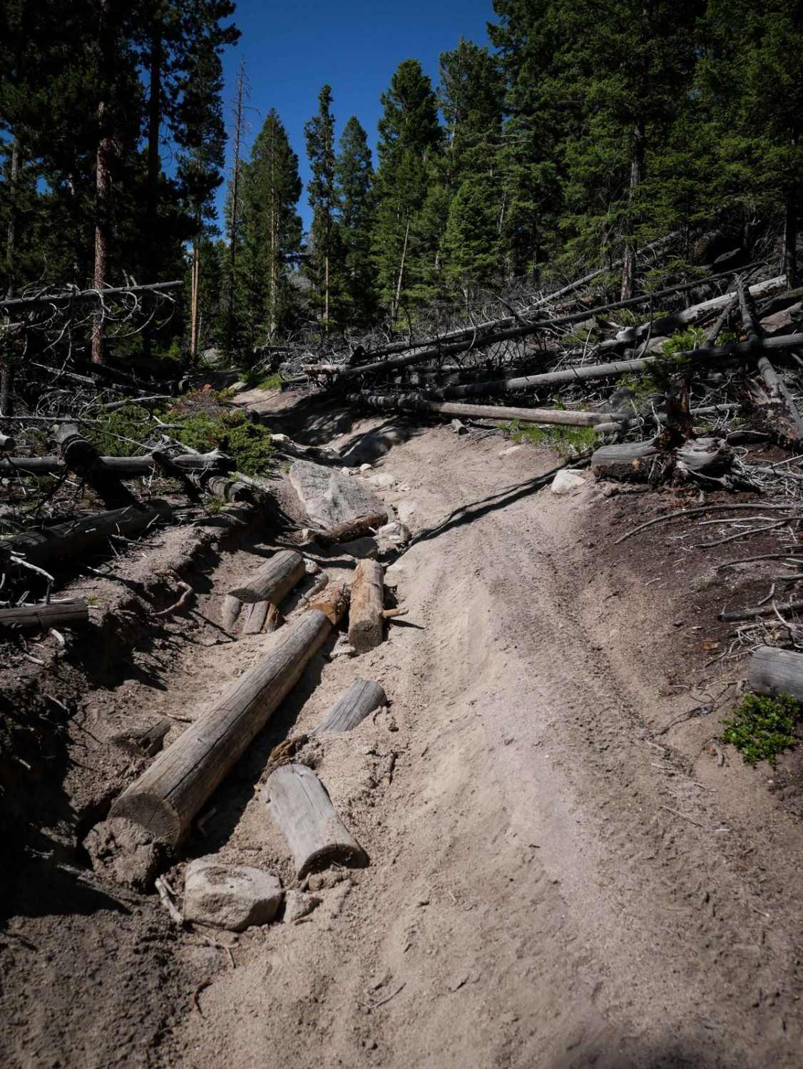
The trail consists largely of loose 6" or smaller rocks, and for the most part can be completed in 2WD. There are half a dozen spots though that do require some careful tire placement in order to make it up. All of the water crossings are less than 12" deep with a very solid bottom
Status Reports
Independence Pass can be accessed by the following ride types:
- High-Clearance 4x4
- SxS (60")
- ATV (50")
- Dirt Bike
Independence Pass Map
Popular Trails
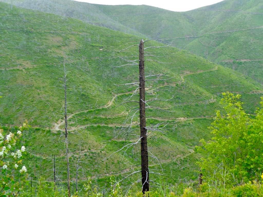
South Fork Nemote Creek - Sheridan Ridge Loop
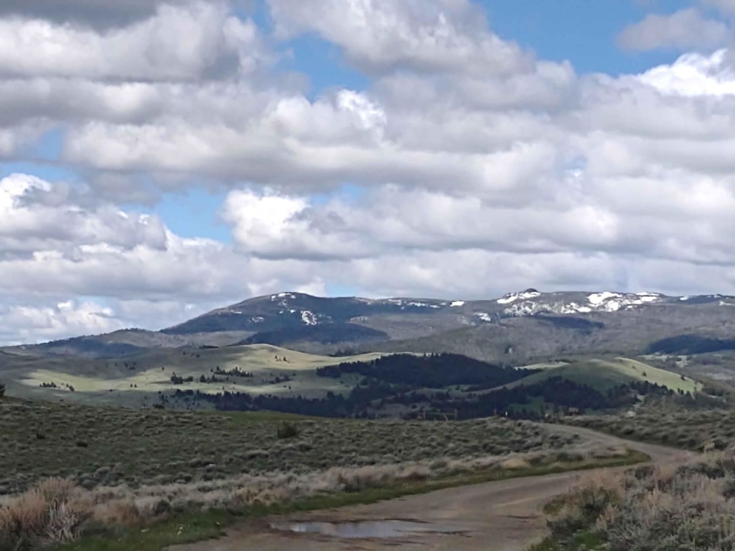
Indian Creek Road Spur 1
The onX Offroad Difference
onX Offroad combines trail photos, descriptions, difficulty ratings, width restrictions, seasonality, and more in a user-friendly interface. Available on all devices, with offline access and full compatibility with CarPlay and Android Auto. Discover what you’re missing today!
