Hubbart Dam Rd
Total Miles
14.5
Technical Rating
Best Time
Spring, Summer, Fall
Trail Type
Full-Width Road
Accessible By
Trail Overview
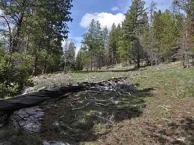
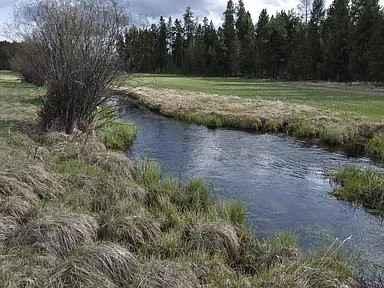
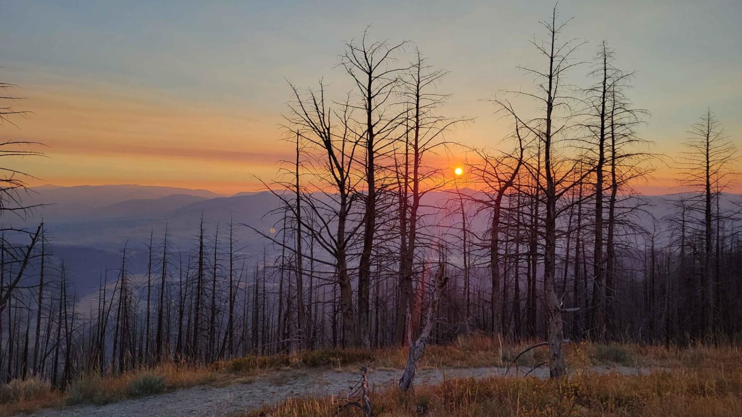
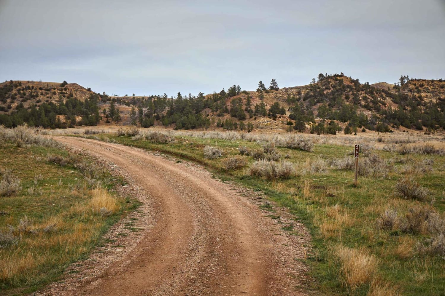
Travel this easy section through Hubbart Dam Road. Along the way, you will see dense fields of towering pines and wide-open fields. Primitive camping is available along this route in some areas. The road is mostly two-lane gravel and dirt, with some narrow areas. Some areas have numerous potholes with mud and clay along with a few rocky and rutted sections. There's nothing super technical; it may just be difficult to travel when wet or snow-packed. This route does pass through CS&KT tribal lands, and all recreational activities on tribal-owned lands require a non-member person over the age of 11 to purchase a Tribal Conservation Permit. The website for information is http://csktnrd.org/fwrc/recreation
Photos of Hubbart Dam Rd
Difficulty
This is a dirt or rocky road, typically unmaintained after rain or snow. You may encounter shallow water crossings and obstacles under 12 inches on the trail, including small ledges. Roads are typically one to two vehicles wide.
Status Reports
Hubbart Dam Rd can be accessed by the following ride types:
- High-Clearance 4x4
- SUV
- SxS (60")
- ATV (50")
- Dirt Bike
Hubbart Dam Rd Map
Popular Trails


Lee Ridge Trail 295
Reanus Cone Trail Part 2
The onX Offroad Difference
onX Offroad combines trail photos, descriptions, difficulty ratings, width restrictions, seasonality, and more in a user-friendly interface. Available on all devices, with offline access and full compatibility with CarPlay and Android Auto. Discover what you’re missing today!