Anaconda Microwave Overlook
Total Miles
5.1
Technical Rating
Best Time
Spring, Summer, Fall
Trail Type
Full-Width Road
Accessible By
Trail Overview
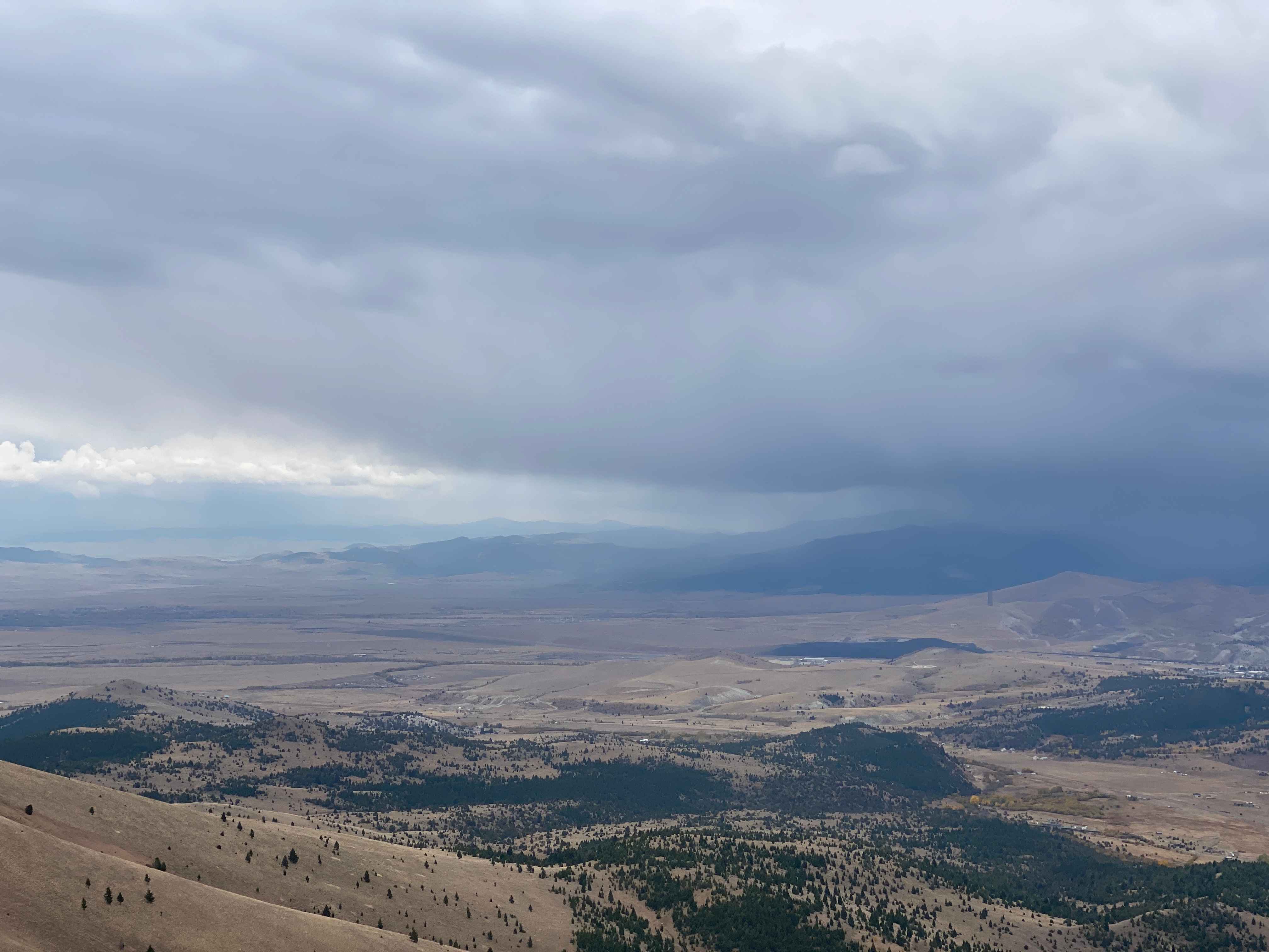
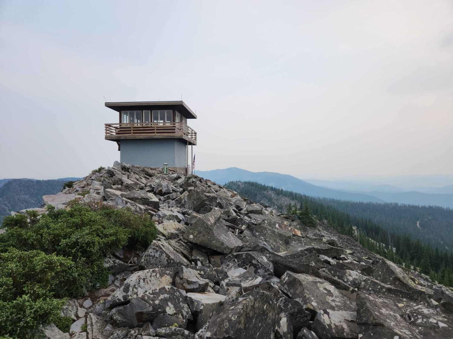
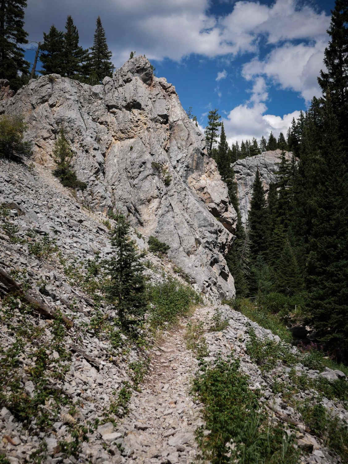
On the trail, you will go past a few residential homes and generally stay left to avoid their driveways and stay on the route. After passing through an H1 wide wallow, you will go through a brief narrower canyon that opens up into a wide park. There are two trails exiting the park to the north. Take the one to your left as you look uphill as the one on the right has deep ruts from runoff even visible in the satellite basemap option. Start climbing! There are some punchier stretches like the very first bit, but the trail levels off in places as well. Expect a single-vehicle-wide trail most of the way to the summit. In the springtime, keep an eye out for alpine wildflowers, especially once you make it up to the first summit before the saddle. Loose scree, some tricky transition zones, and gorgeous views await you on this trail. The summit can be quite windy, so your time there may be brief. Enjoy the trip back down!
Photos of Anaconda Microwave Overlook
Difficulty
Loose scree, some tricky transition zones, and steep ascents and descents are a few of the technical challenges that will greet you along this trail.
Status Reports
Anaconda Microwave Overlook can be accessed by the following ride types:
- High-Clearance 4x4
- SUV
- SxS (60")
- ATV (50")
- Dirt Bike
Anaconda Microwave Overlook Map
Popular Trails
Little Water Creek Road
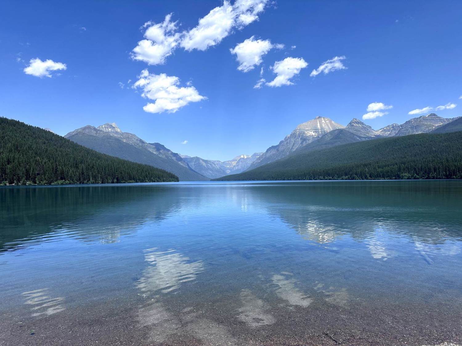
Bowman Lake Road
The onX Offroad Difference
onX Offroad combines trail photos, descriptions, difficulty ratings, width restrictions, seasonality, and more in a user-friendly interface. Available on all devices, with offline access and full compatibility with CarPlay and Android Auto. Discover what you’re missing today!
