South Railbed Road
Total Miles
8.9
Technical Rating
Best Time
Spring, Summer, Fall, Winter
Trail Type
Full-Width Road
Accessible By
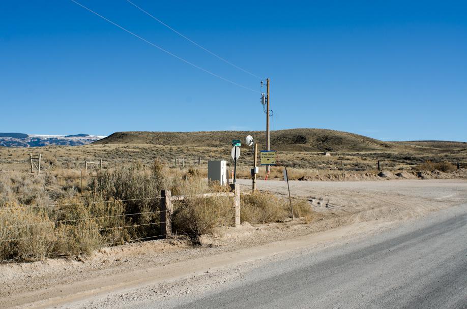
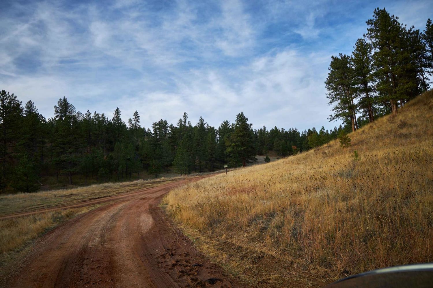
Trail Overview
South Railbed Road leads south along the Pryor Mountain front to Warren, MT. Windmills are abundant in this area, known as the Pryor Mountain Wind Project. South Railbed Road is well maintained and accessible by most vehicles during the dry season. Due to the lack of gravel in most areas, this road can be difficult to travel over during wet conditions. Cellular coverage is available.
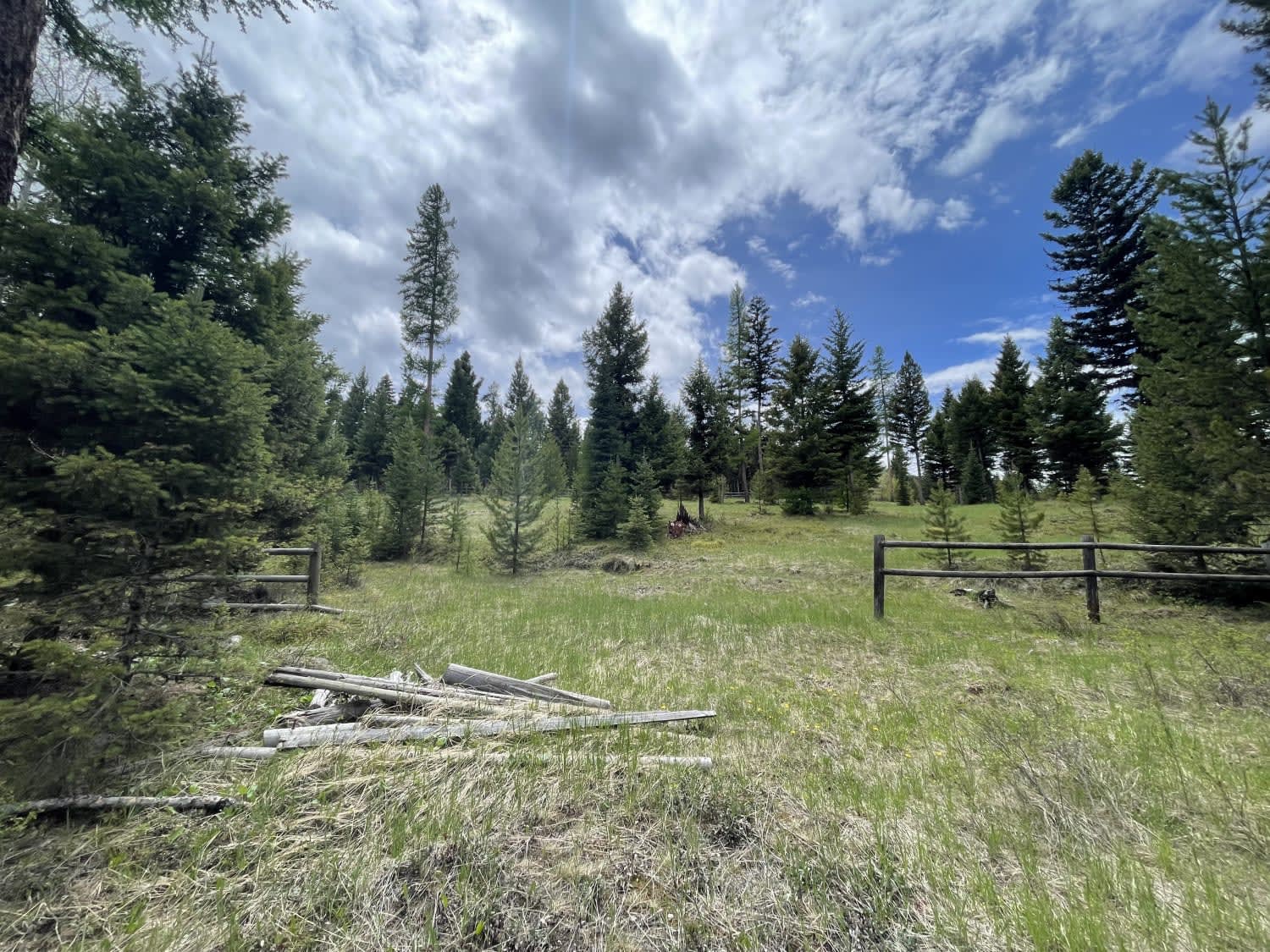
Photos of South Railbed Road

Difficulty
This is a well-maintained dirt and gravel road.
Status Reports
South Railbed Road can be accessed by the following ride types:
- High-Clearance 4x4
- SUV
- ATV (50")
- Dirt Bike
South Railbed Road Map
Popular Trails

Old Highway 2

Enterprise North Road
Westside Bypass
Lemonade Road Pt 2
The onX Offroad Difference
onX Offroad combines trail photos, descriptions, difficulty ratings, width restrictions, seasonality, and more in a user-friendly interface. Available on all devices, with offline access and full compatibility with CarPlay and Android Auto. Discover what you’re missing today!